-
Logo
-
-
-
Inspiration
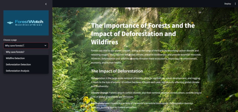
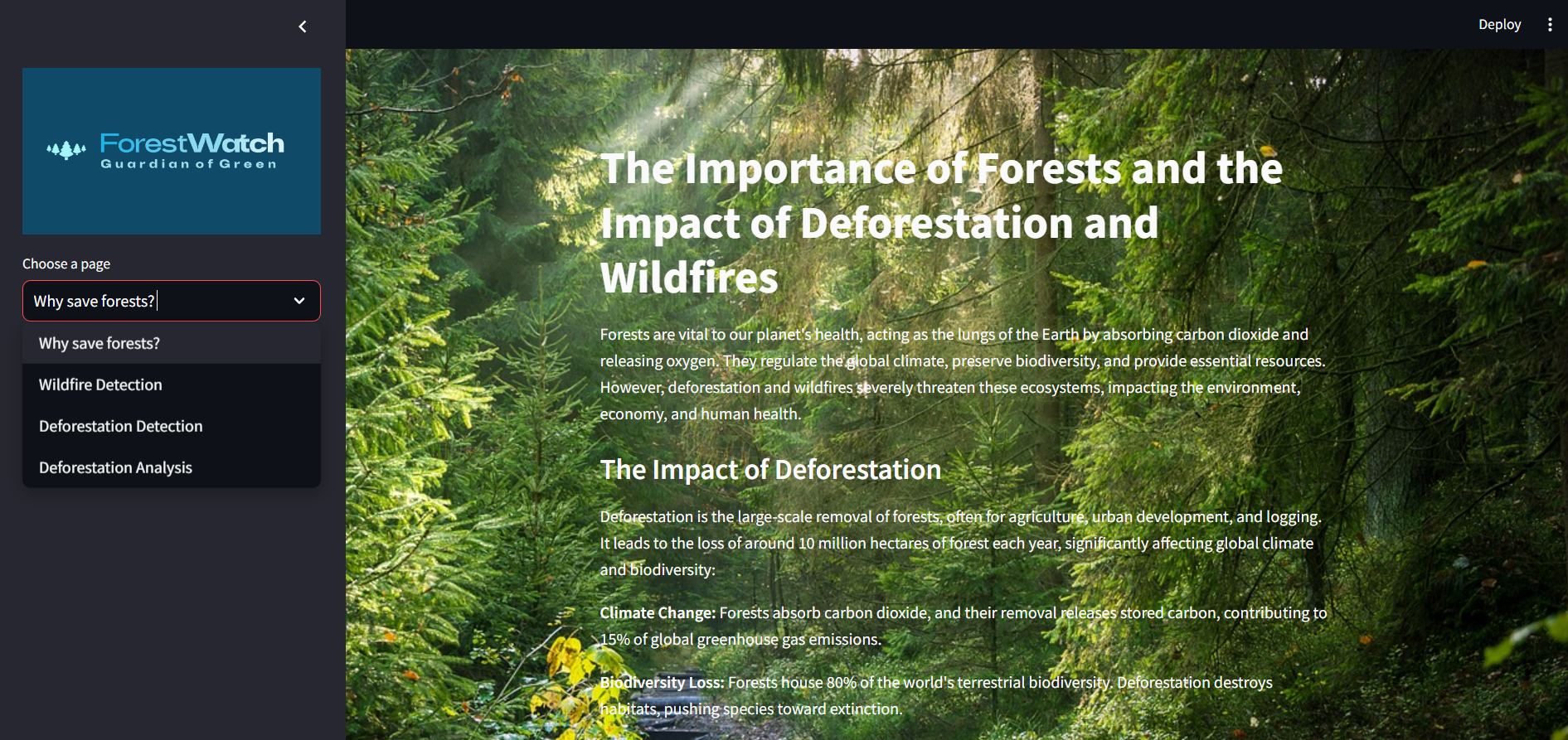
Forests are vital, providing essential services like carbon sequestration and habitats for numerous species. Annually, 10 million hectares of forest are destroyed, contributing to 15% of global greenhouse gas emissions. In 2020, wildfires burned over 4.2 million hectares in California, causing significant ecological and economic damage.
ForestWatch was inspired by the urgent need to protect our forests. Using AI and satellite imagery, this project aims to detect and analyze deforestation and wildfires in real-time. Our goal is to empower policymakers, environmental organizations, and communities with actionable insights to combat these issues effectively, contributing to global sustainability efforts.
What it does
ForestWatch offers a comprehensive suite of tools for detecting and analyzing deforestation and wildfires using satellite imagery. It features:
- Wildfire Detection:Upload satellite images to detect the presence of wildfires, displaying the original image, prediction results, and probability scores.
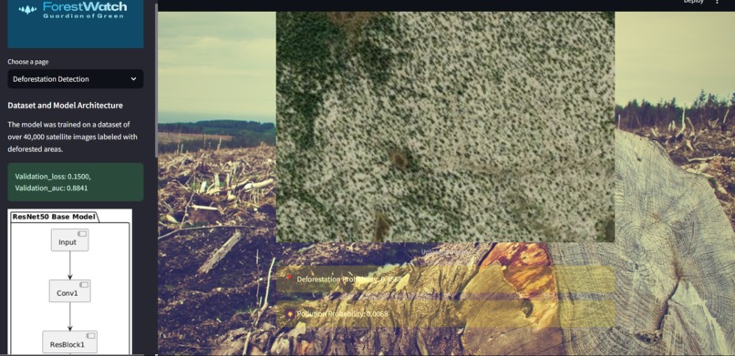
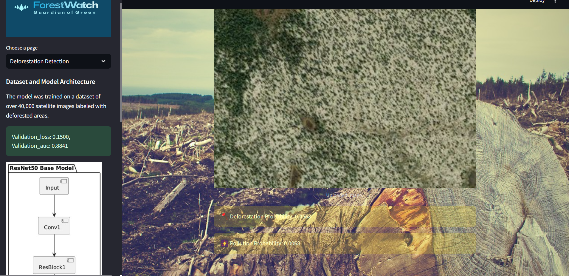
- Deforestation Detection: Upload satellite images to detect deforestation and pollution, displaying the original image, prediction results, and probability scores.
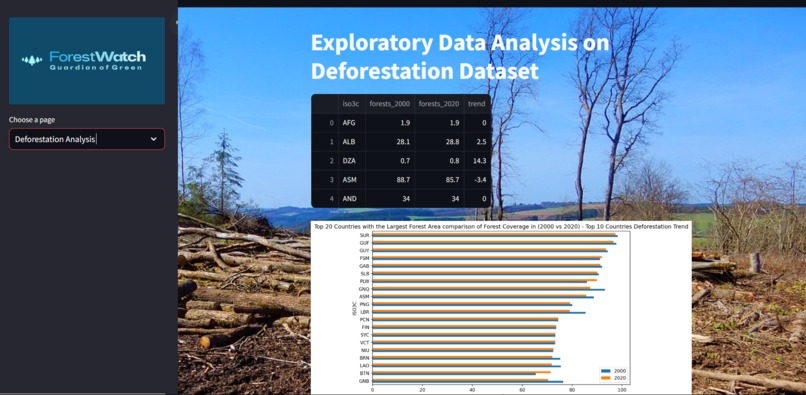
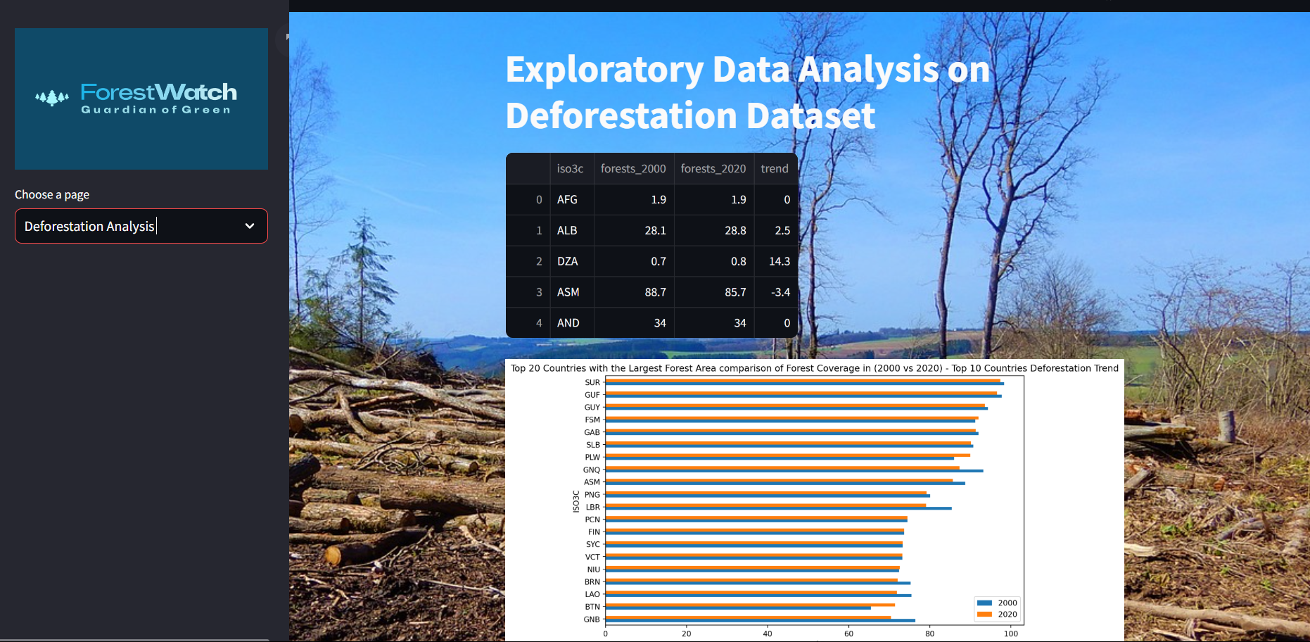
- Deforestation Analysis: Provides detailed EDA on deforestation data from 2000 to 2020, including comparative analysis and performance evaluation of various regression models.
How I built it
The project was built using the following technologies:
- Python: For data processing and model training.
- TensorFlow and Keras: For building and training the machine learning models.
- Streamlit: For creating the interactive web application.
- Pandas and NumPy: For data manipulation and analysis.
- Matplotlib and Seaborn: For data visualization.
- scikit-learn, XGBoost, LightGBM, and CatBoost: For regression model evaluation and comparison.
Challenges I ran into
- Data Collection and Preprocessing: Sourcing and preprocessing large datasets of satellite images for training the models was time-consuming and complex.
- Model Training: Training accurate models for wildfire and deforestation detection required extensive - experimentation with different architectures and hyperparameters.
- Deployment: Integrating the models into a Streamlit application and ensuring smooth user experience posed several technical challenges.
Accomplishments that I'm proud of
- Successfully trained and deployed two robust models for wildfire and deforestation detection.
- Created a comprehensive and user-friendly Streamlit application for real-time analysis and detection.
- Conducted detailed exploratory data analysis on deforestation data, providing valuable insights and visualizations.
What I learned
- Improved my skills in data preprocessing, model training, and deployment.
- Gained experience in using Streamlit for creating interactive web applications.
- Learned the importance of interdisciplinary collaboration, integrating environmental science with machine learning.
What's next for ForestWatch
Future Collaboration with NOAA Satellites: Integrate real-time data from NOAA satellites to enhance the accuracy and timeliness of our detection models. Partnership with World Bank's Atlas of Sustainable Development Goals: Seek guidance and funding to expand the scope and impact of ForestGuardian, leveraging global expertise and resources. Enhanced Features: Incorporate more environmental factors into the detection models and provide more comprehensive analysis tools. Community Engagement: Develop educational resources and tools to raise awareness and involve communities in forest conservation efforts. Scalability: Scale the application to cover more regions globally, making it accessible to a wider audience and more effective in combating deforestation and wildfires worldwide.

