

Inspiration
A couple of days ago, we spotted a fire in our neighborhood. The smoke was visible from a couple of meters away from where the actual fire started. It inspired us to think about the wildfires that are happening around the world. When it comes to wildfires, can we also have some preventive plans to avoid those deadly damages? What if someone goes on hiking or simply looks out of their window and sees some smoke? What if there’s a platform to upload pictures and locate the actual fire? With those ideas in mind, after some research on wildfires, here we present Forest Protector, a platform aimed to forecast, report, and prevent wildfires.
What it does
Our app forest protector currently allows users to signup and shows a map with reported wildfires retrieved directly from NASA. For each wildfire that is indicated on Google Maps, it has images that people upload from the actual location, below that we have some information about the time, location, and name of the fire. We also provide links for users to know more about this incident. Finally, we also made a histogram analyzing the statistics through wildfires that happens within roughly a radius of 300 kilometers.
How we built it
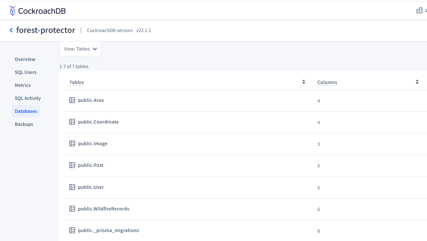
For our login page, we used Userfront to help us securely record the signup data. We used React and javascript to build our website, we also used Google map API and NASA API to retrieve the most recent wildfire information. For our backend, we used CockroachDB + typescript with Prisma to store the data of users, posts, geographical information, wildfire records, and histories.
Challenges we ran into
We initially would like to find an API to retrieve information about nearby fire departments to find the nearest fire location, however, we are unable to find it. We solved this issue by looking for other APIs and ended up using the one from NASA. Another challenge arose from setting up and connecting the database.
Accomplishments that we're proud of
We successfully incorporated NASA API and Google API into our website. We used a variety of tools to solve one of the world’s environmental problems.
What we learned
First, we learned more about wildfires and their area of likely occurrences. Some of our teammates are not familiar with using APIs in react, so it was a good opportunity to practice and learn. We also don’t have previous database experience. So, it was a good opportunity to learn how to connect and utilize the database.
What's next for Forest Protector
Although our website currently only serves as a warning to point out wildfire areas, we plan on adding features that allow users to report wildfires. We vision our app will analyze the most recent data of wildfire occurrences, we will partner with governments around the world and use their data of fire station location as well as firefighter and fire track count to identify the most dangerous area where it is most vulnerable to wildfires. We can send out drones to analyze information like how dry the land is and prevent the next huge wildfire!
Built With
- cockroachdb
- css
- google-maps
- javascript
- nasa-api
- react
- typescript
- userfront-signup-feature


Log in or sign up for Devpost to join the conversation.