-
-
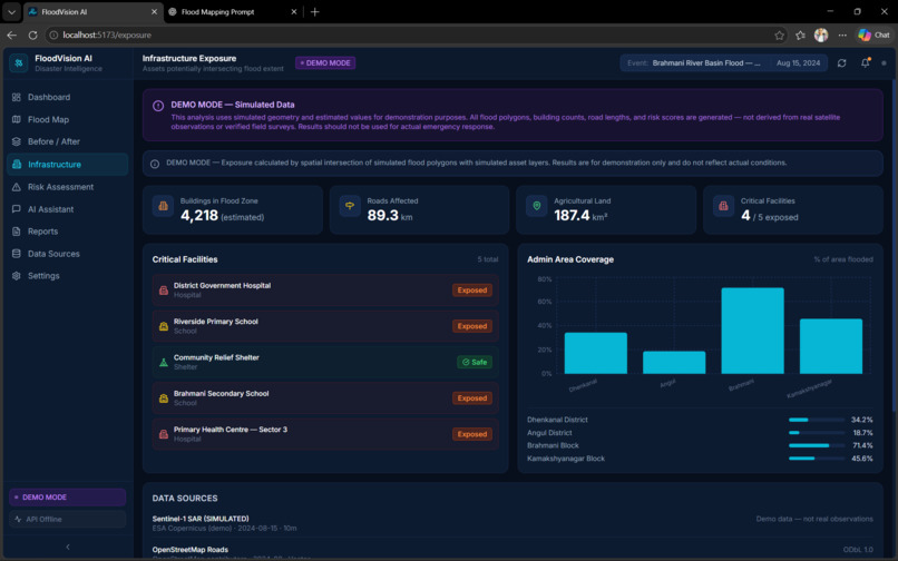
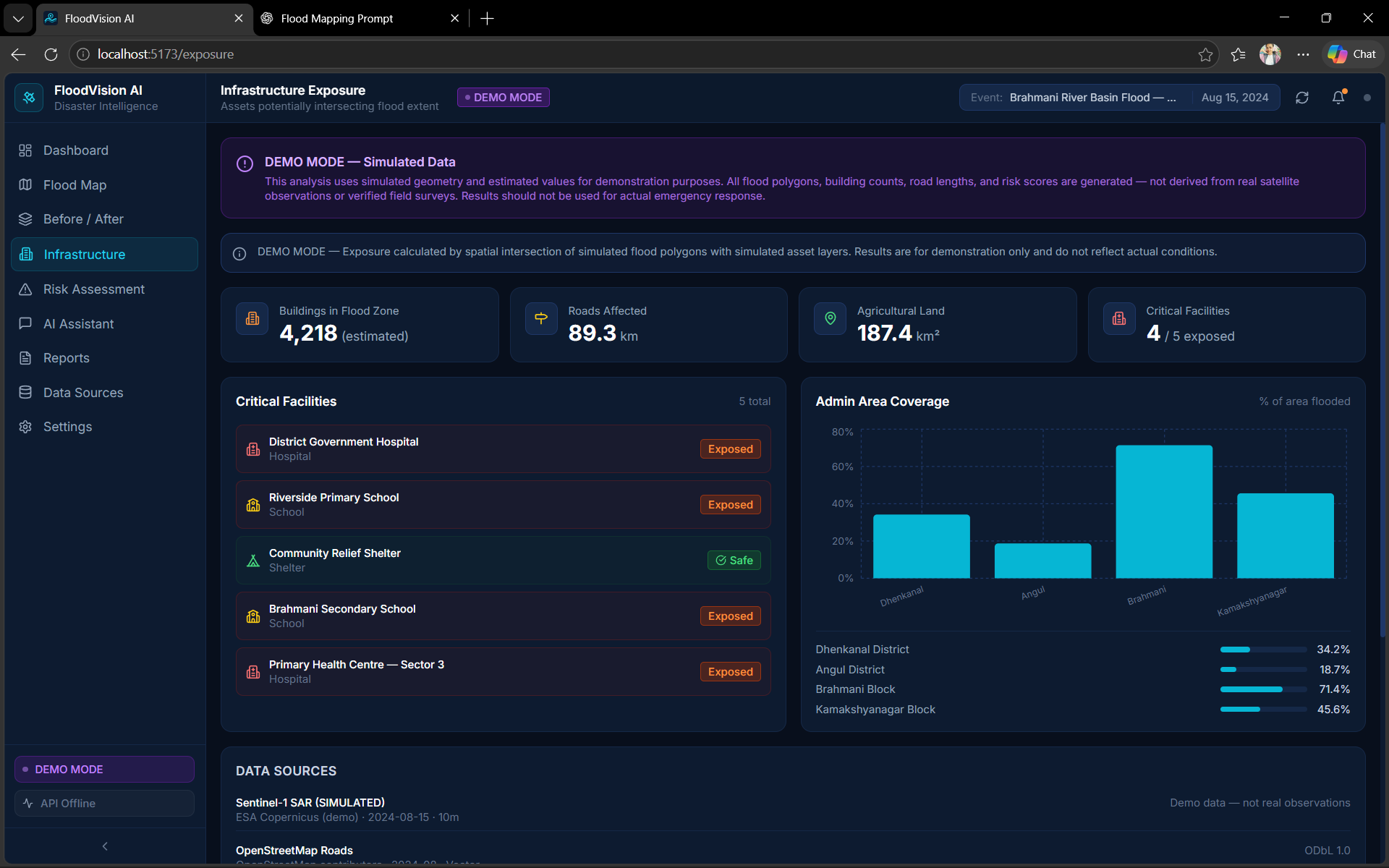
Infrastructure
-
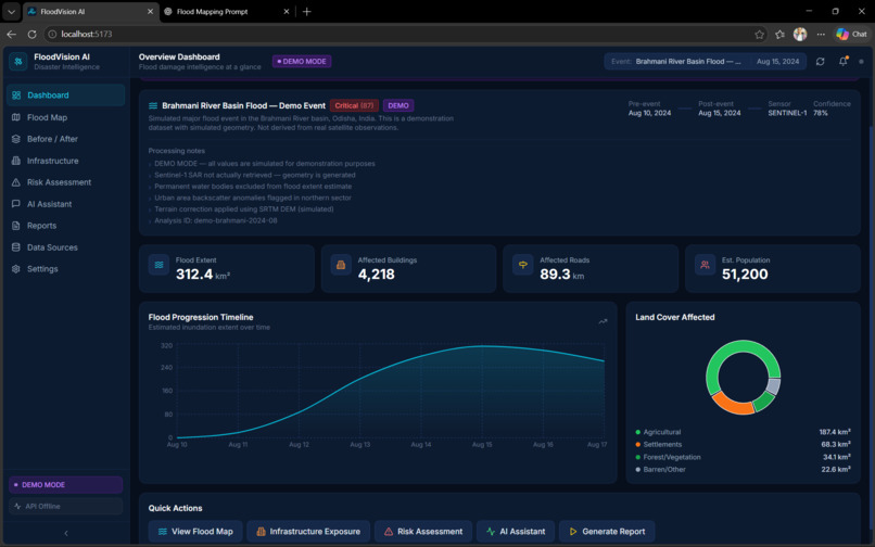
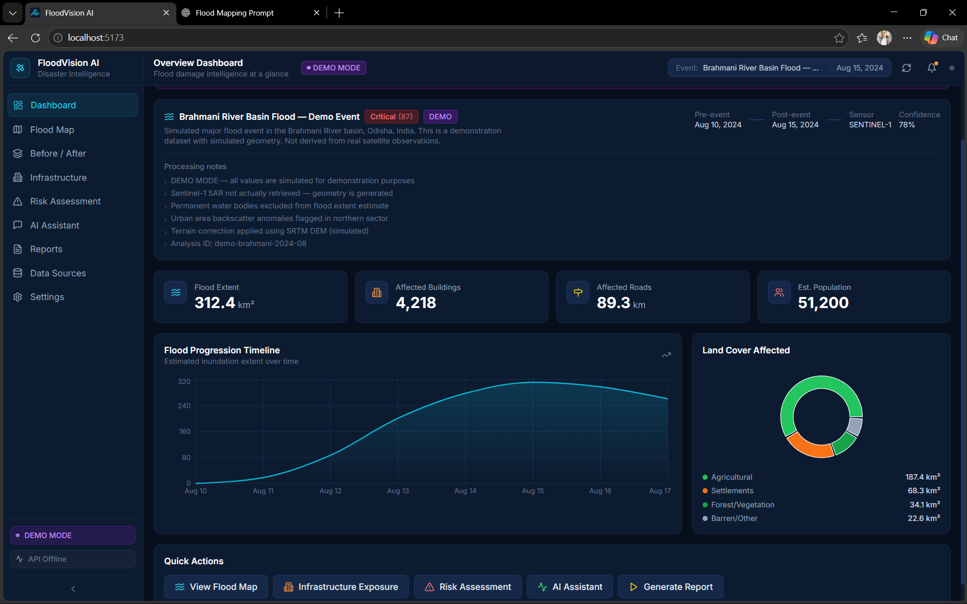
Dashboard
-
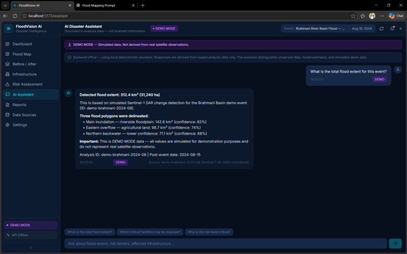
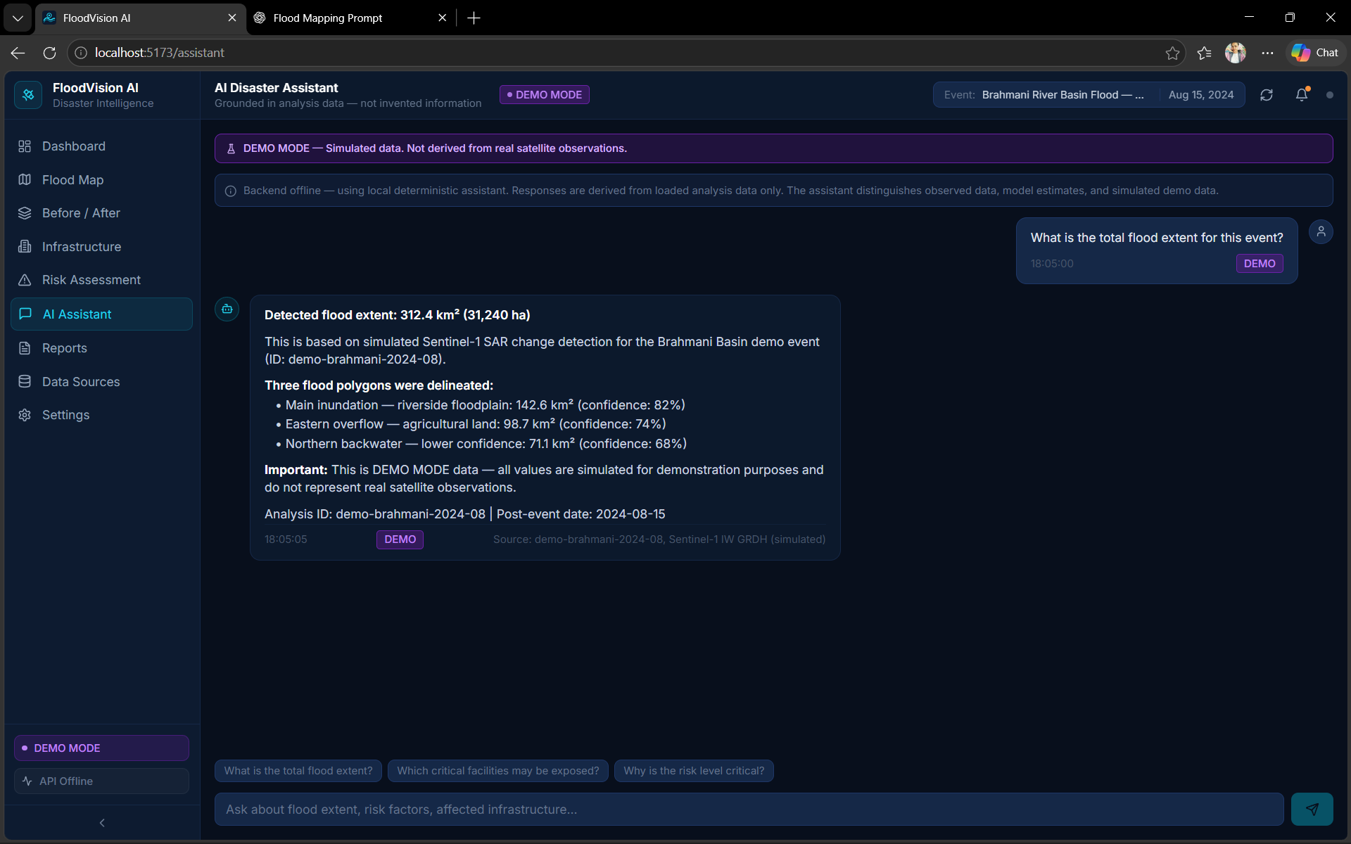
AI Assistant
-
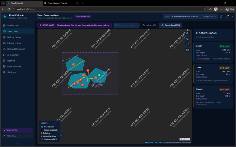
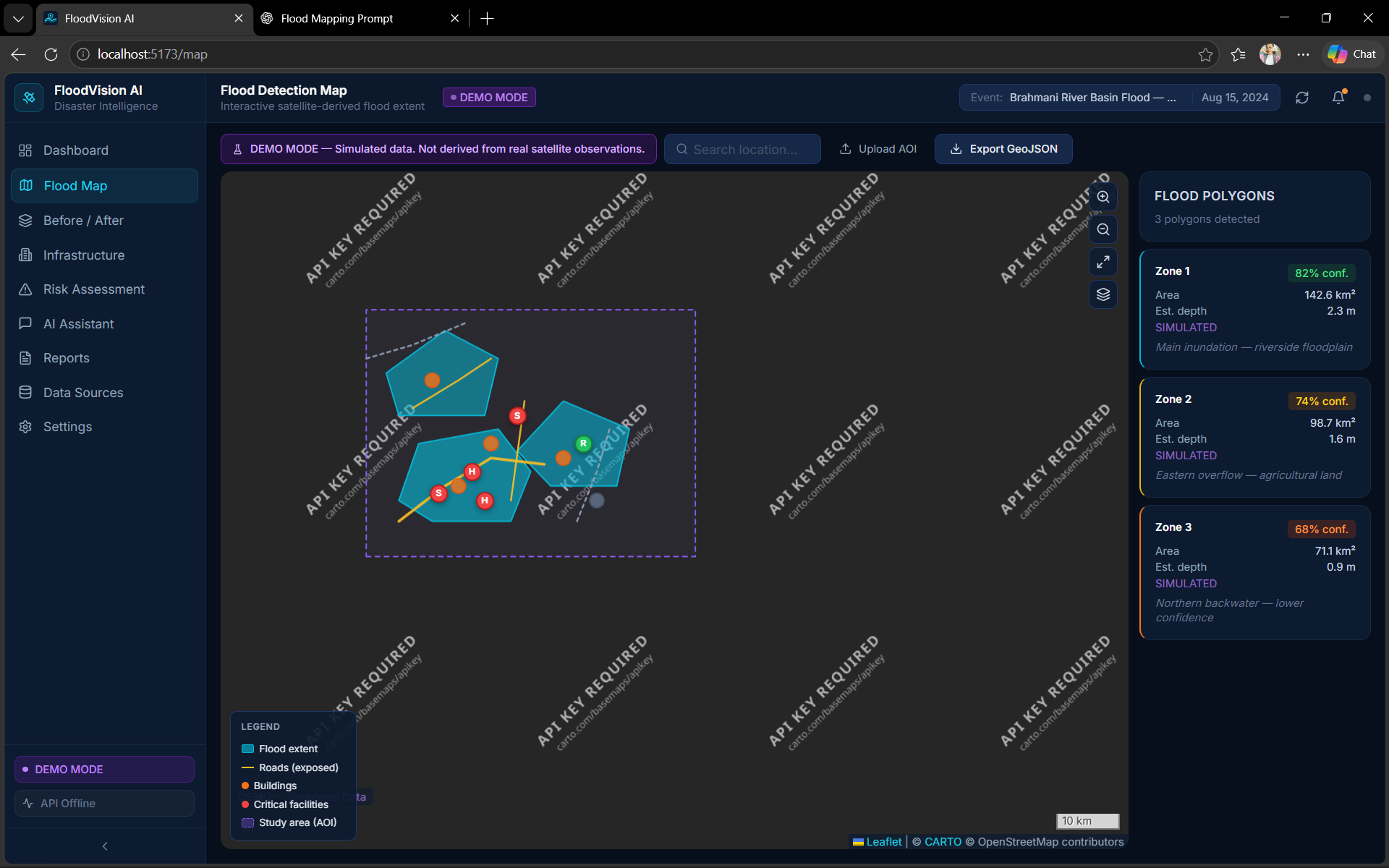
Flood Map
-
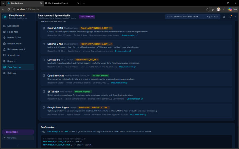
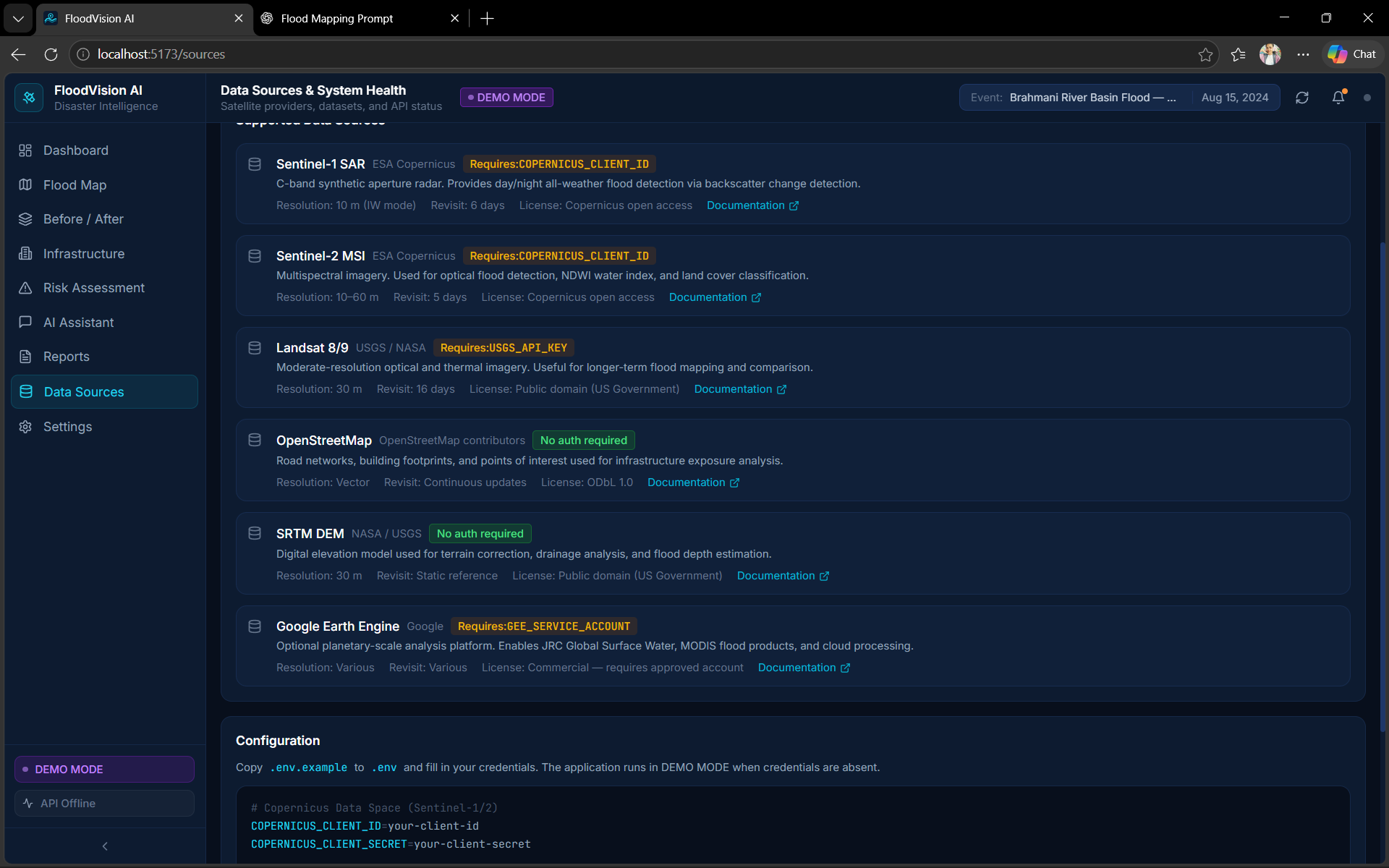
Data Sources
-
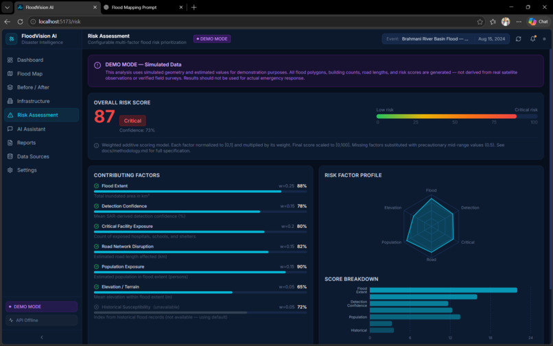
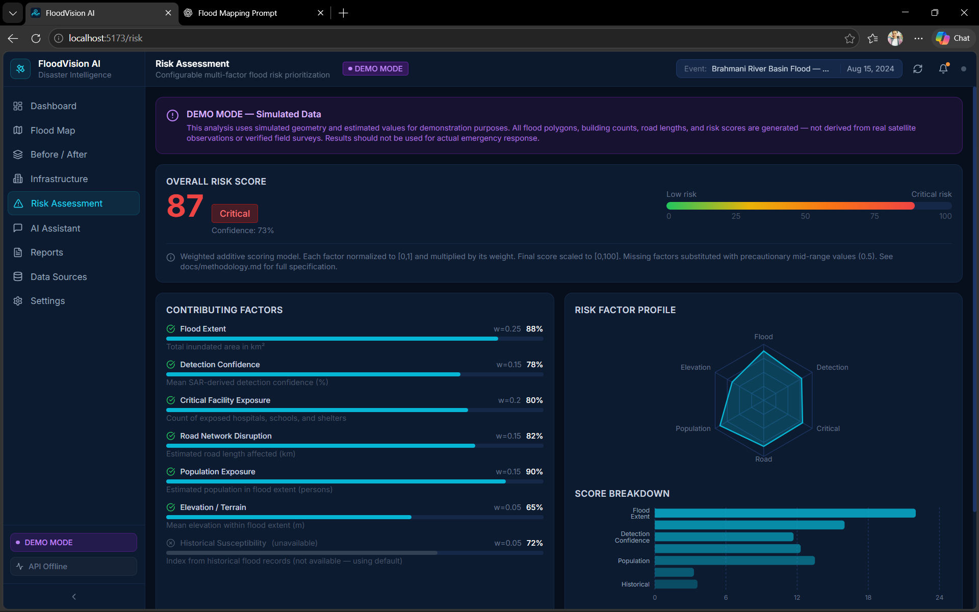
Risk Assesment
FloodVision AI: Project Story
💡 Inspiration
Floods can cause significant damage to homes, roads, agricultural land, and infrastructure. Understanding the extent of flooding quickly is important for effective disaster management. This inspired me to develop FloodVision AI, a project that aims to use satellite imagery and interactive maps to identify flood-affected areas and support better decision-making.
🛠️ How I Built the Project
I developed FloodVision AI as a web-based flood monitoring and damage assessment platform. I used React, TypeScript, and Vite for the frontend and Python with FastAPI for the backend. The interface includes satellite product selection, pre-event and post-event dates, configurable flood detection thresholds, and minimum flood area settings.
The project is designed to compare satellite imagery from before and after a flood and display analysis results through an interactive dashboard. It also includes a demo mode to explore the interface and its features.
📚 What I Learned
Through this project, I learned about satellite-based flood monitoring, geospatial analysis, frontend and backend integration, and designing interactive dashboards. I also gained a better understanding of how configurable parameters can influence flood detection and why reliable data sources are essential for meaningful results.
🚧 Challenges Faced
One of the main challenges was understanding how different satellite products, such as Sentinel-1 SAR and Sentinel-2 Optical, can be used for flood analysis. Another challenge was designing a clear interface that brings configuration options and analysis features together. Integrating real satellite data and validating the accuracy of flood detection are important technical tasks that require further implementation and testing.
🎯 Future Goals
My goal is to improve FloodVision AI by integrating and validating real satellite imagery, refining flood detection, and generating more reliable flood extent and damage assessments. I hope this project can contribute to making flood monitoring more accessible and supporting data-driven disaster response
Built With
- fastapi
- flood-detection
- geospatial-analysis
- gis
- interactive
- python
- react
- satellite-imagery
- sentinel-1-sar
- typescript
- vite


Log in or sign up for Devpost to join the conversation.