FloodSpaceAI — AI-Powered Flood Impact Mapping
Inspiration
Floods and related disasters can damage buildings, disrupt roads, isolate communities, and delay emergency response. Satellite imagery provides valuable information about affected regions, but responders also need understandable evidence about potentially exposed infrastructure. FloodSpaceAI aims to bridge this gap by transforming satellite observations and geospatial data into actionable flood-impact intelligence.
What it does
FloodSpaceAI is a geospatial analysis platform that helps identify potential flood-related changes and assess nearby infrastructure exposure. It combines satellite imagery analysis, infrastructure mapping, network connectivity analysis, and evidence-grounded AI-assisted reporting.
Key capabilities include:
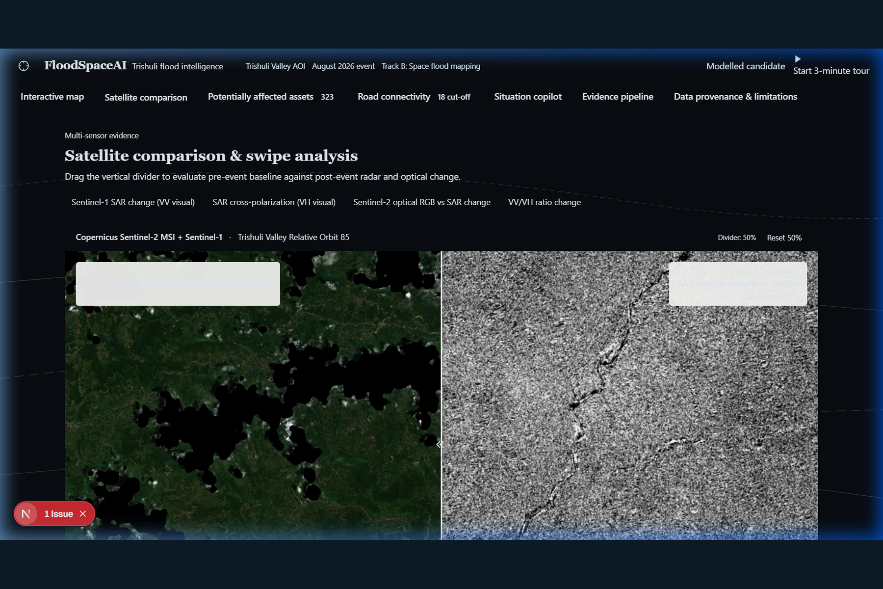
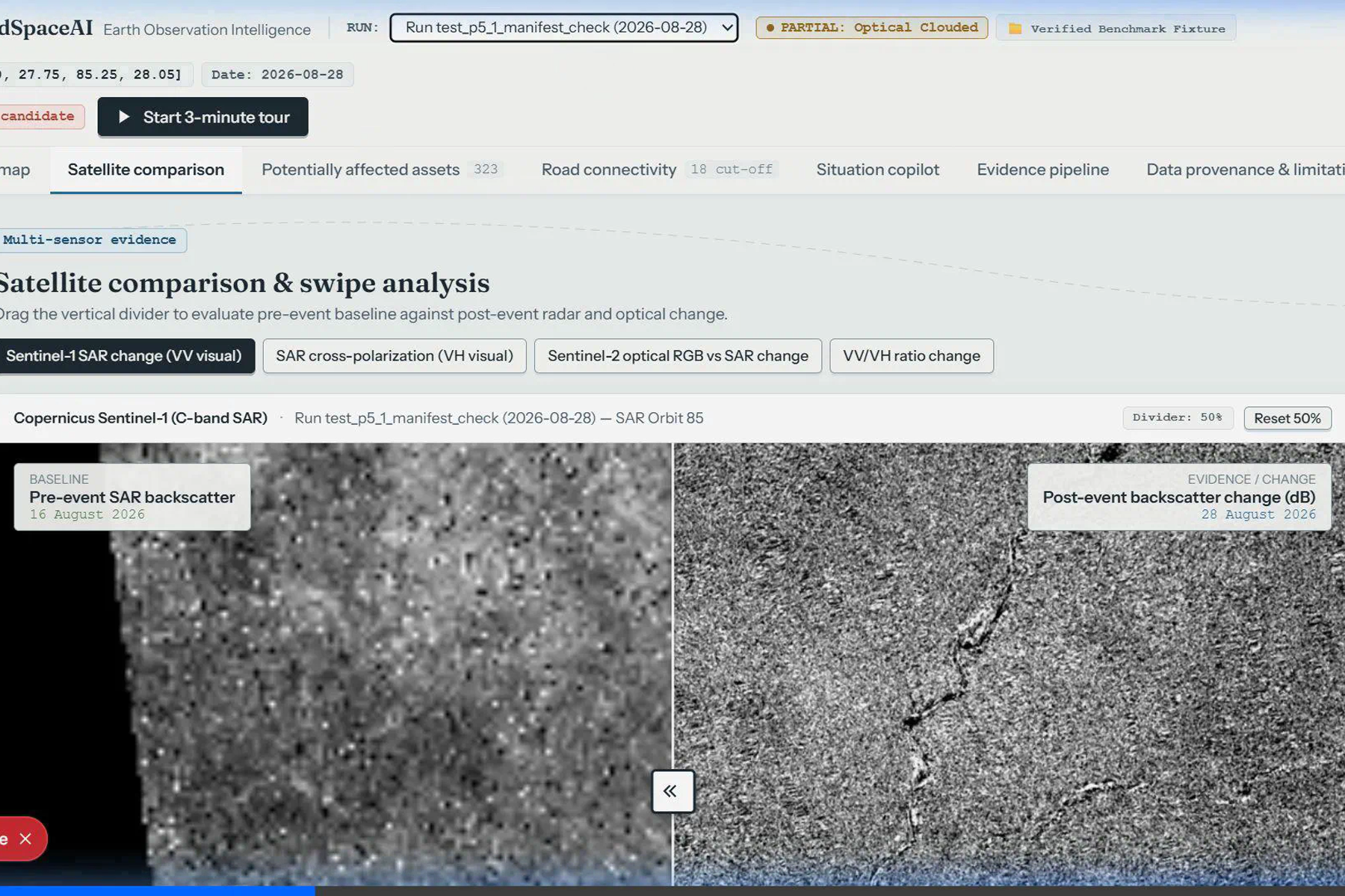
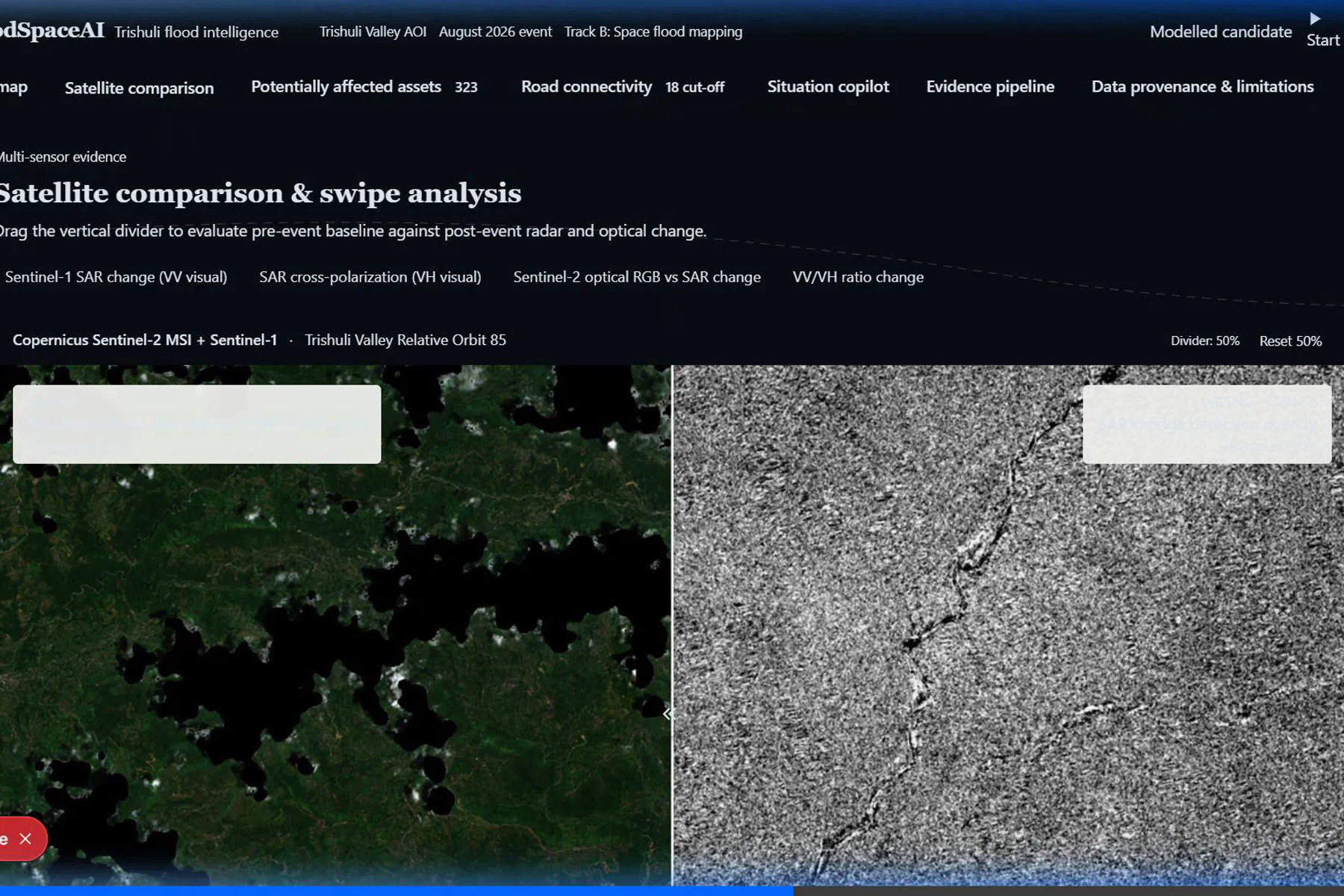
- Satellite change analysis: Uses Sentinel-1 radar observations to identify potential surface changes between pre-event and post-event imagery.
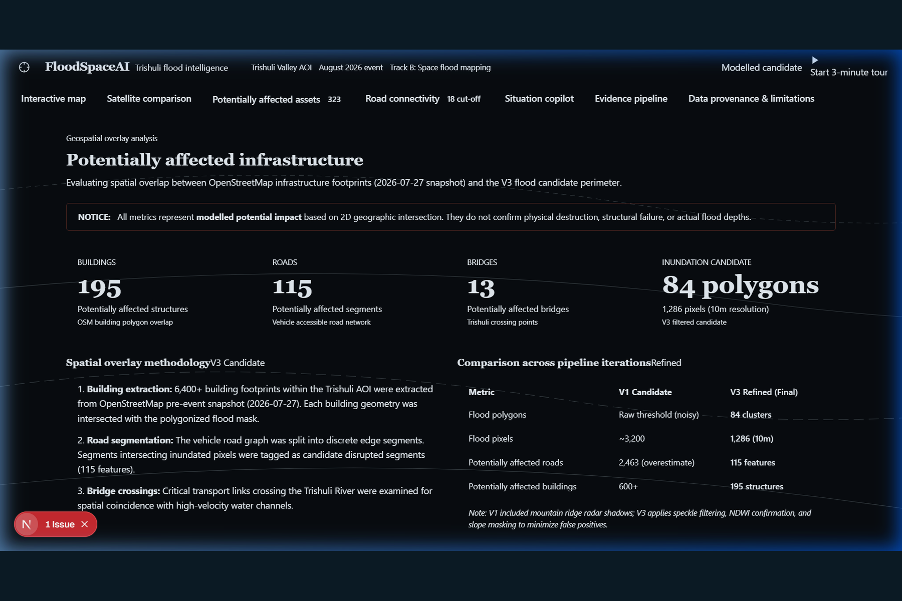
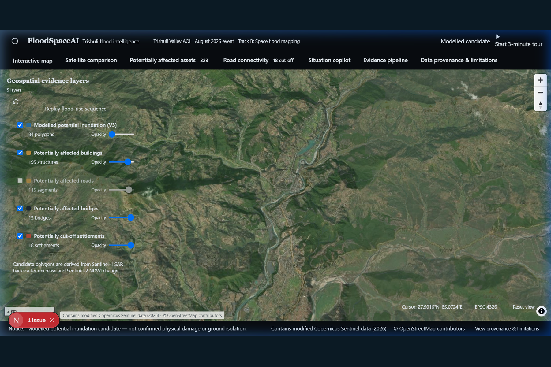
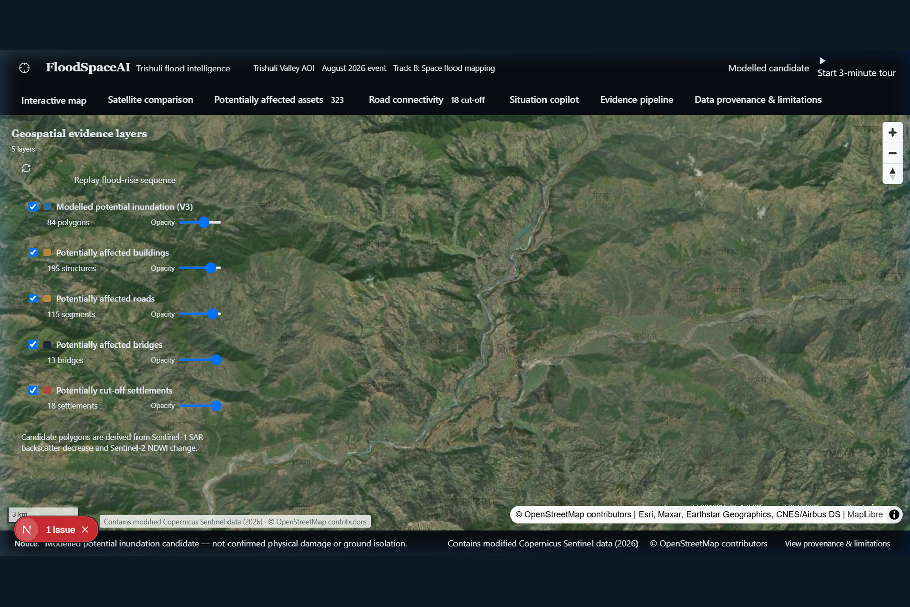
- Infrastructure exposure mapping: Overlays potential impact areas with mapped buildings, roads, bridges, and settlements.
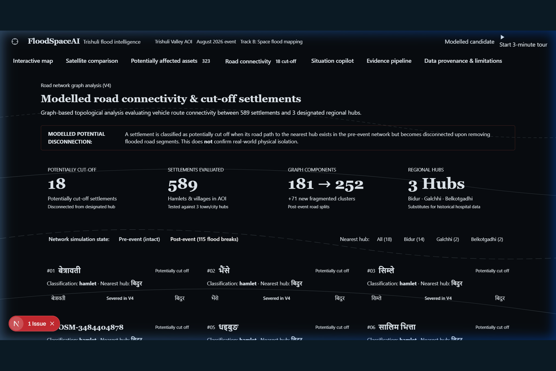
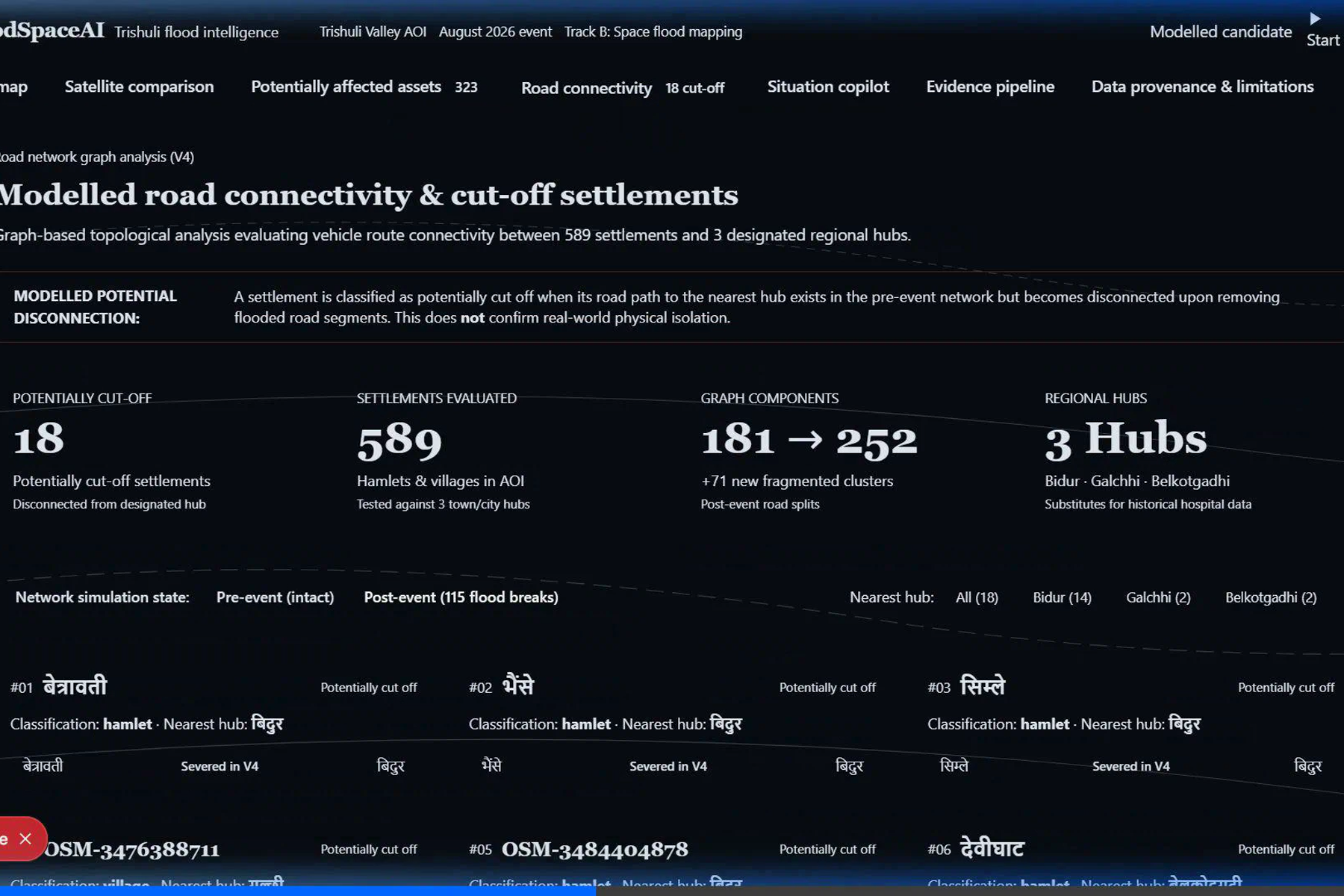
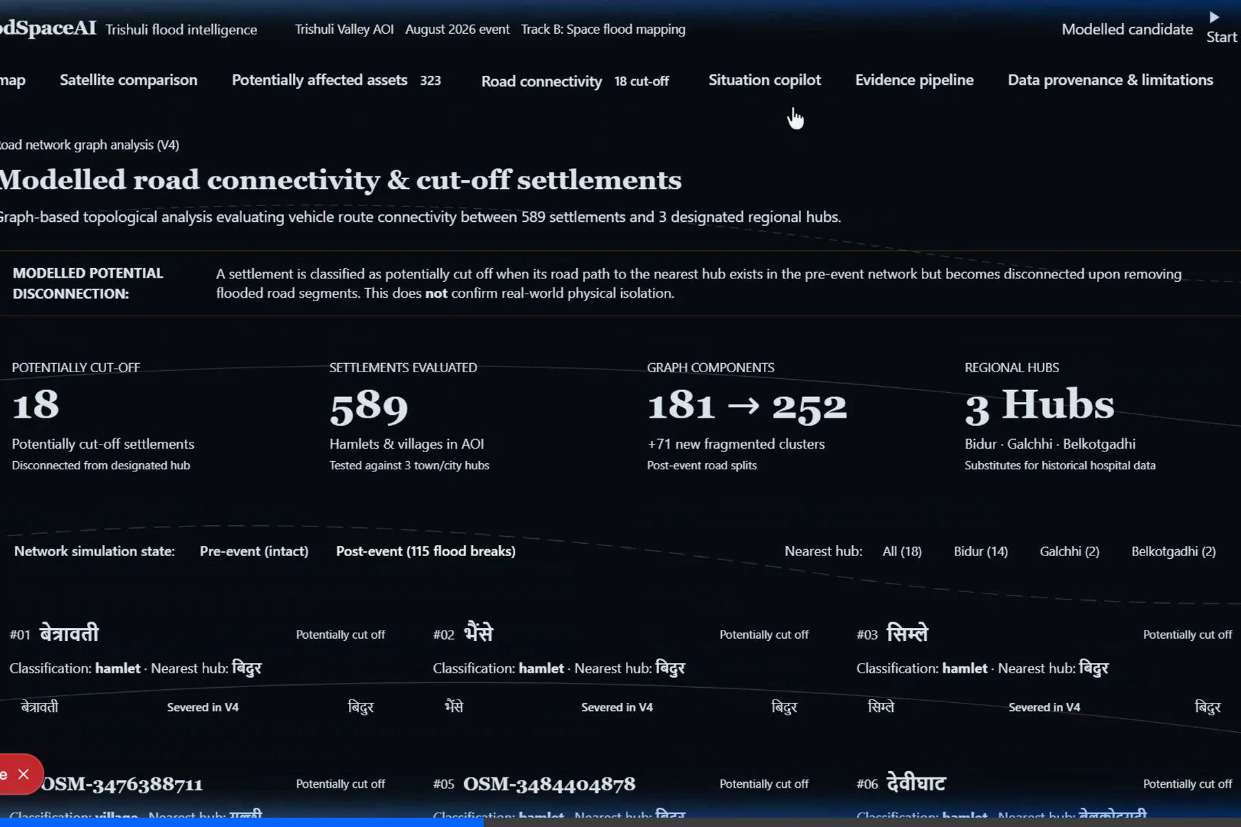
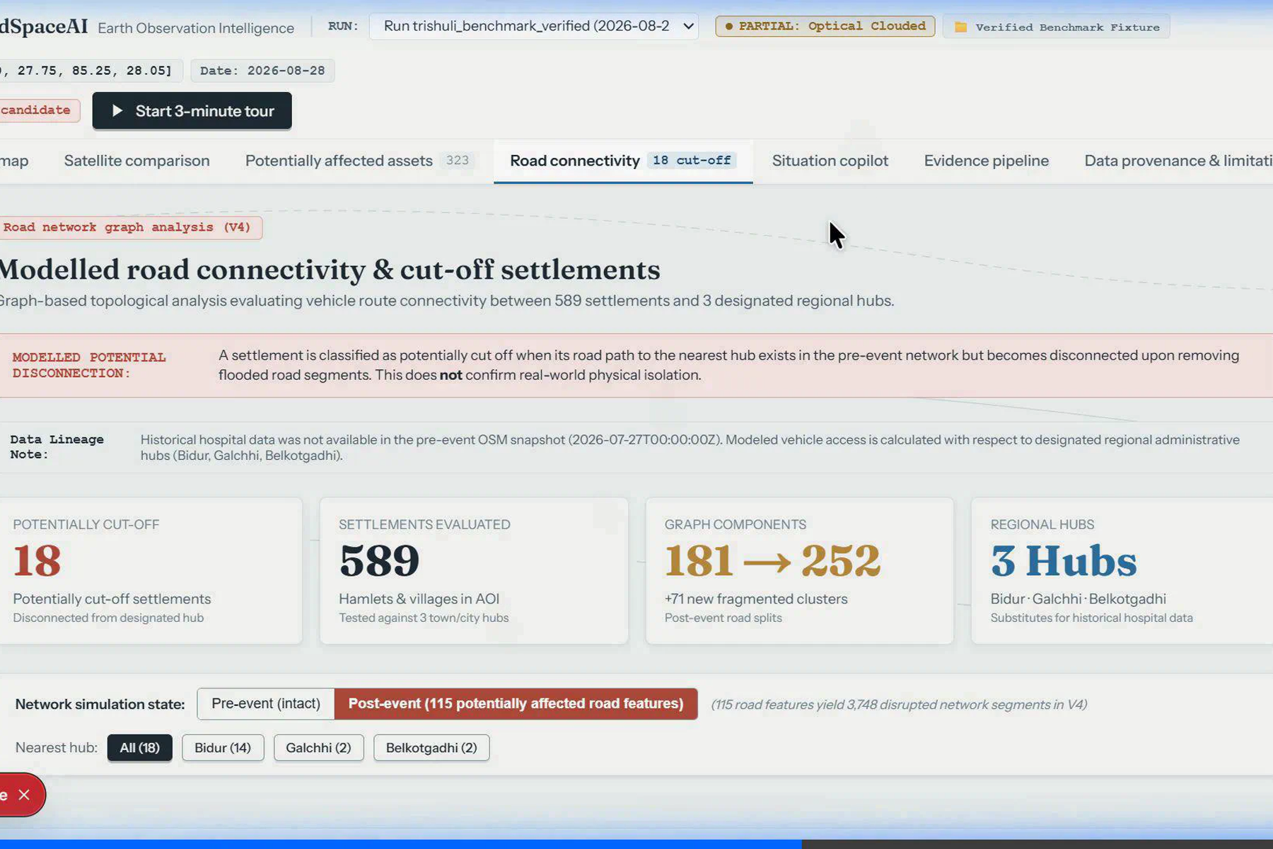
- Connectivity analysis: Examines road-network connectivity to highlight potentially isolated communities and disrupted routes.
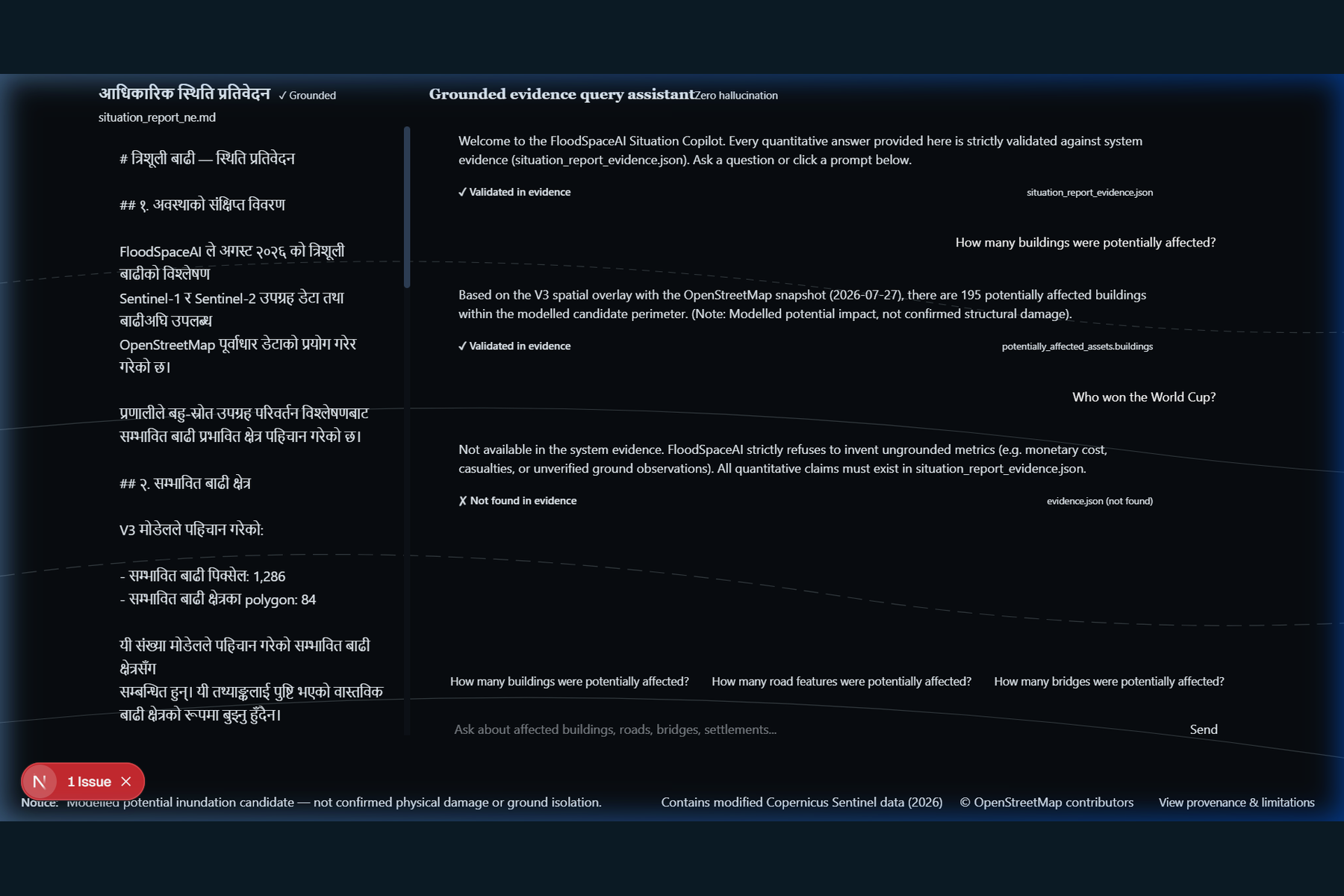
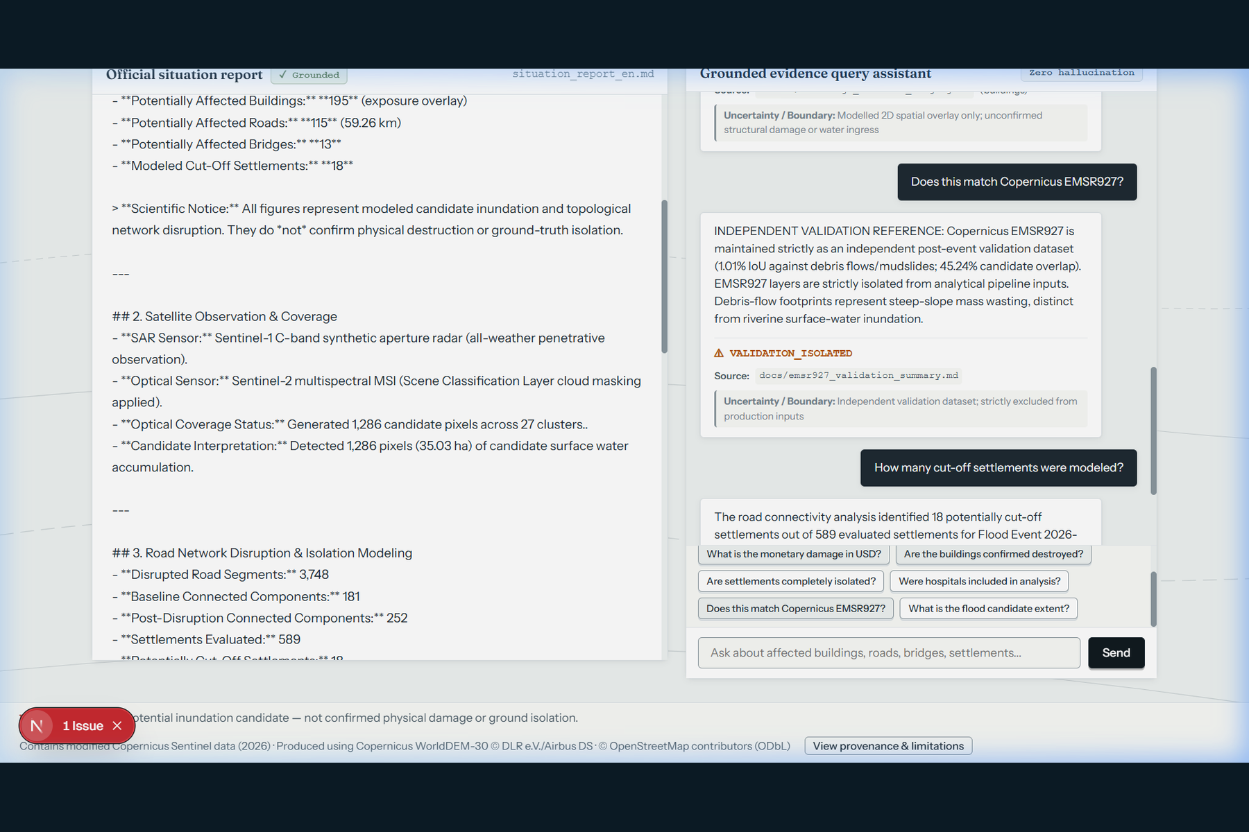
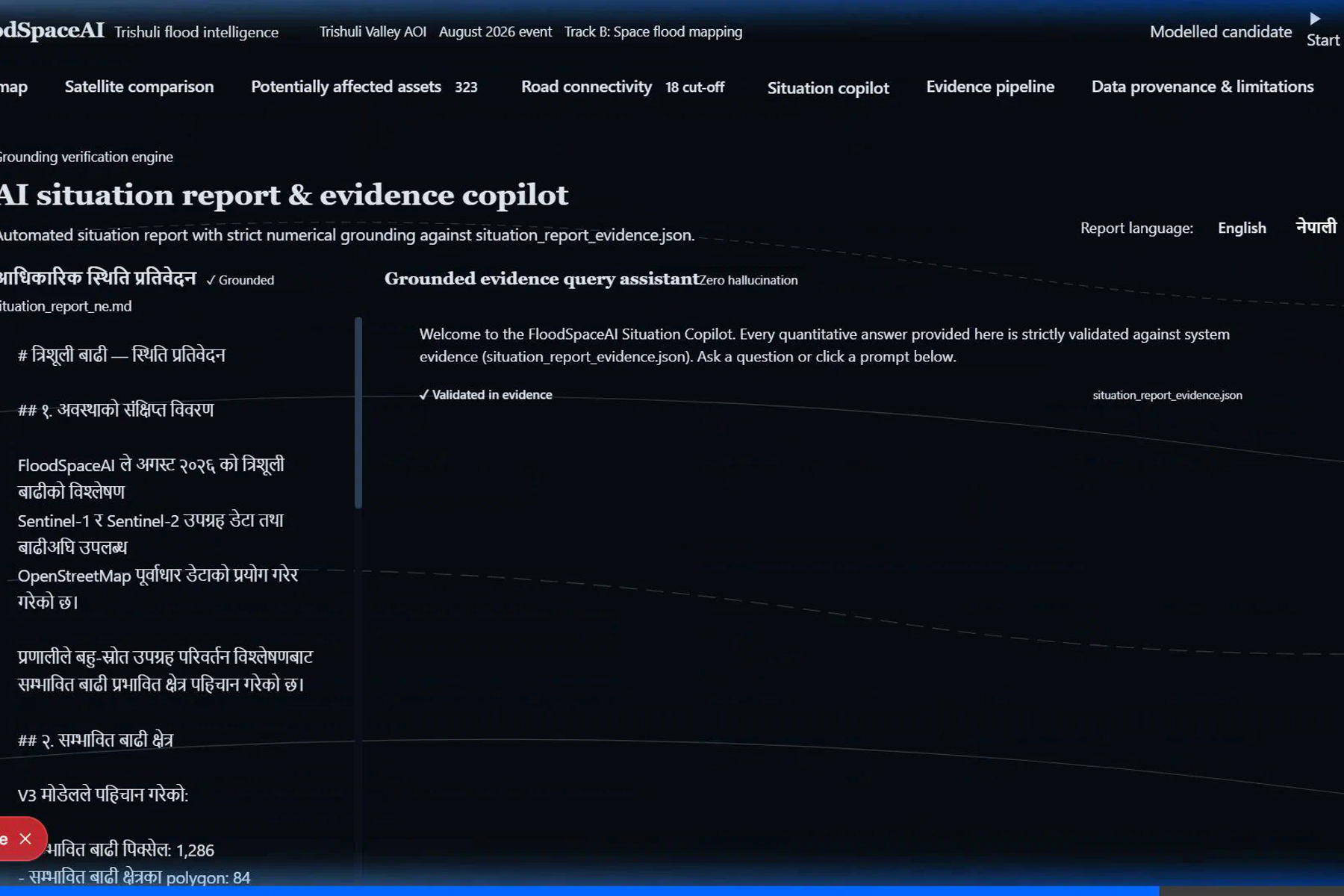
- Evidence-grounded reporting: Presents findings in an understandable format, with English and Nepali support.
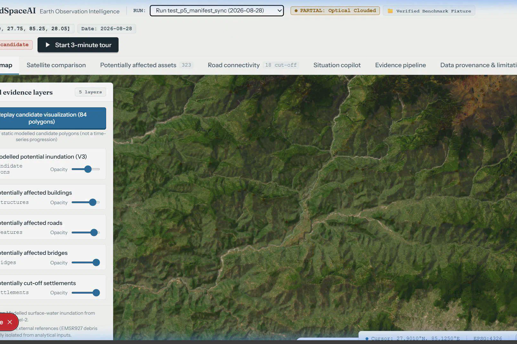
- Interactive dashboard: Brings geospatial results and impact indicators together for easier exploration.
How we built it
We developed FloodSpaceAI using Python-based geospatial processing and a web dashboard. The analysis pipeline works with satellite observations and geographic datasets, while the dashboard presents the resulting maps and impact indicators. Docker supports a reproducible application environment.
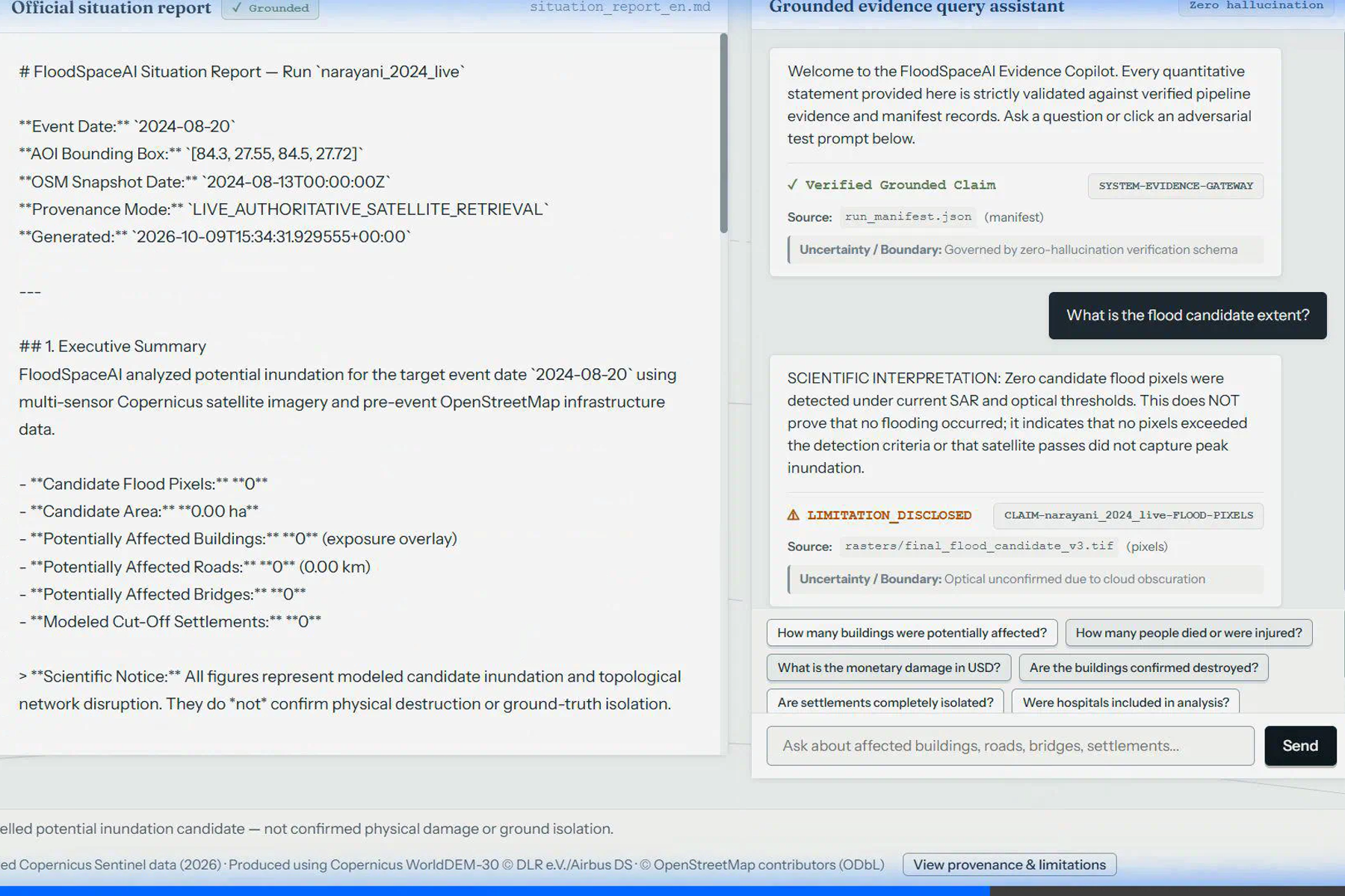
The AI assistant is designed to help explain available evidence rather than replace the underlying geospatial analysis. Optional language-model assistance can improve report presentation, while findings should remain grounded in available data.
Challenges we faced
Working with satellite data and geographic layers requires careful handling of coordinate systems, raster resolution, data availability, and spatial alignment. Another challenge is distinguishing potential impact indicators from confirmed real-world damage. We addressed this by presenting results as potential exposure, using independent reference data as a comparison rather than treating it as definitive ground truth.
What we learned
This project helped us explore satellite-based change analysis, geospatial data processing, infrastructure-network analysis, reproducible deployment, and the responsible use of AI in disaster-response workflows.
Limitations and responsible use
FloodSpaceAI provides analytical indicators, not definitive confirmation of damage. Satellite coverage, image quality, detection thresholds, mapping completeness, and the timing of observations can affect results. Emergency responders should validate findings using additional observations and field reports before making critical decisions.
Future scope
Future improvements could include additional satellite sources, faster event monitoring, stronger validation against field observations, uncertainty visualization, and integration with emergency-response systems.
