Inspiration
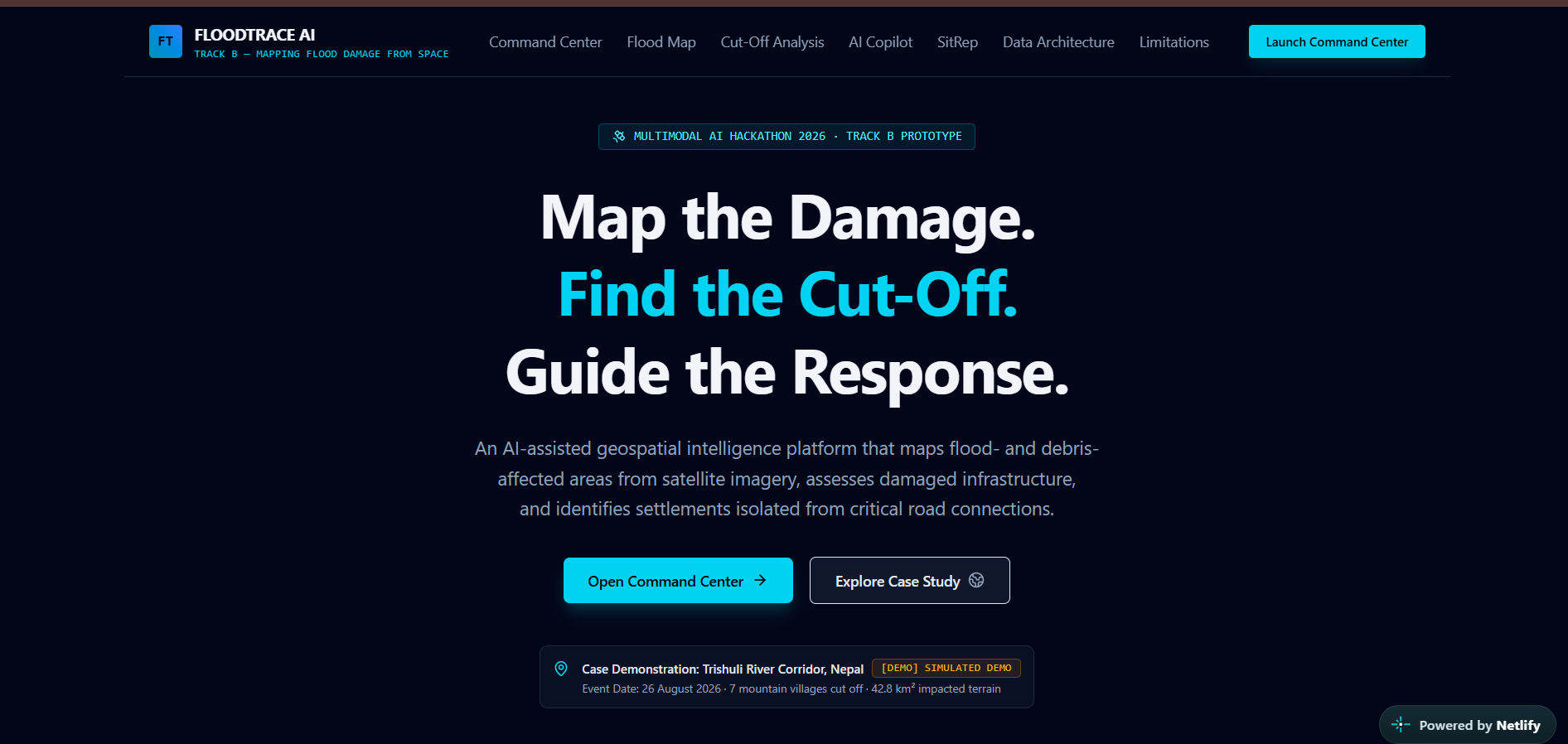
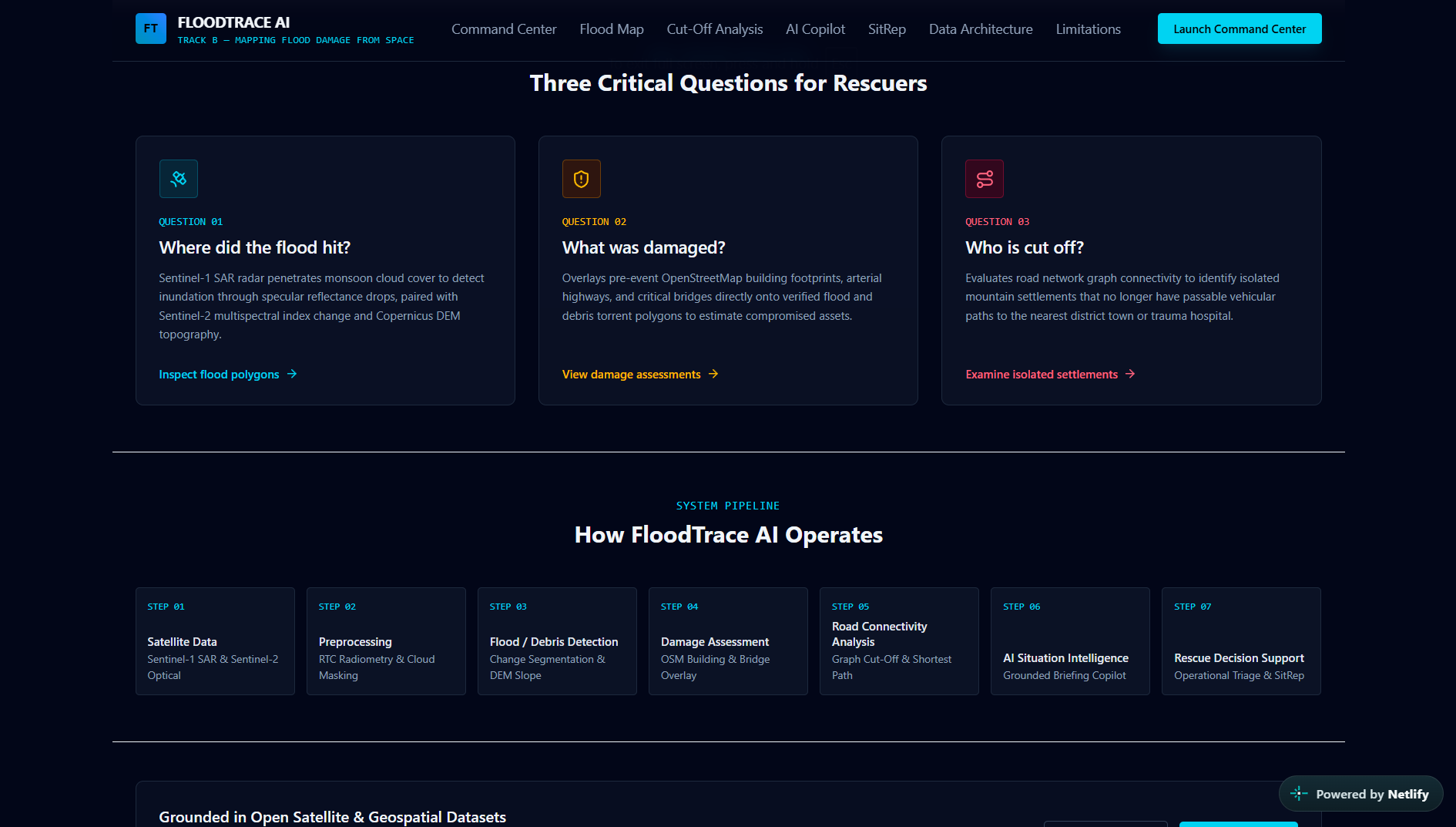
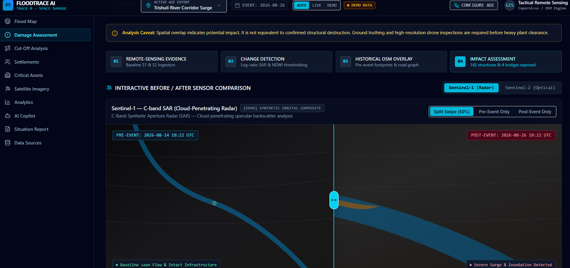
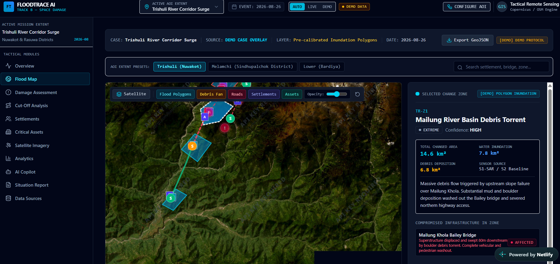
What inspired us: Floods can cause significant damage, but understanding the extent of that damage quickly is difficult, especially when affected areas are large or difficult to access. This inspired us to build FloodSpace AI, a platform that uses satellite imagery and geospatial visualization to help map and understand flood-affected regions more efficiently.
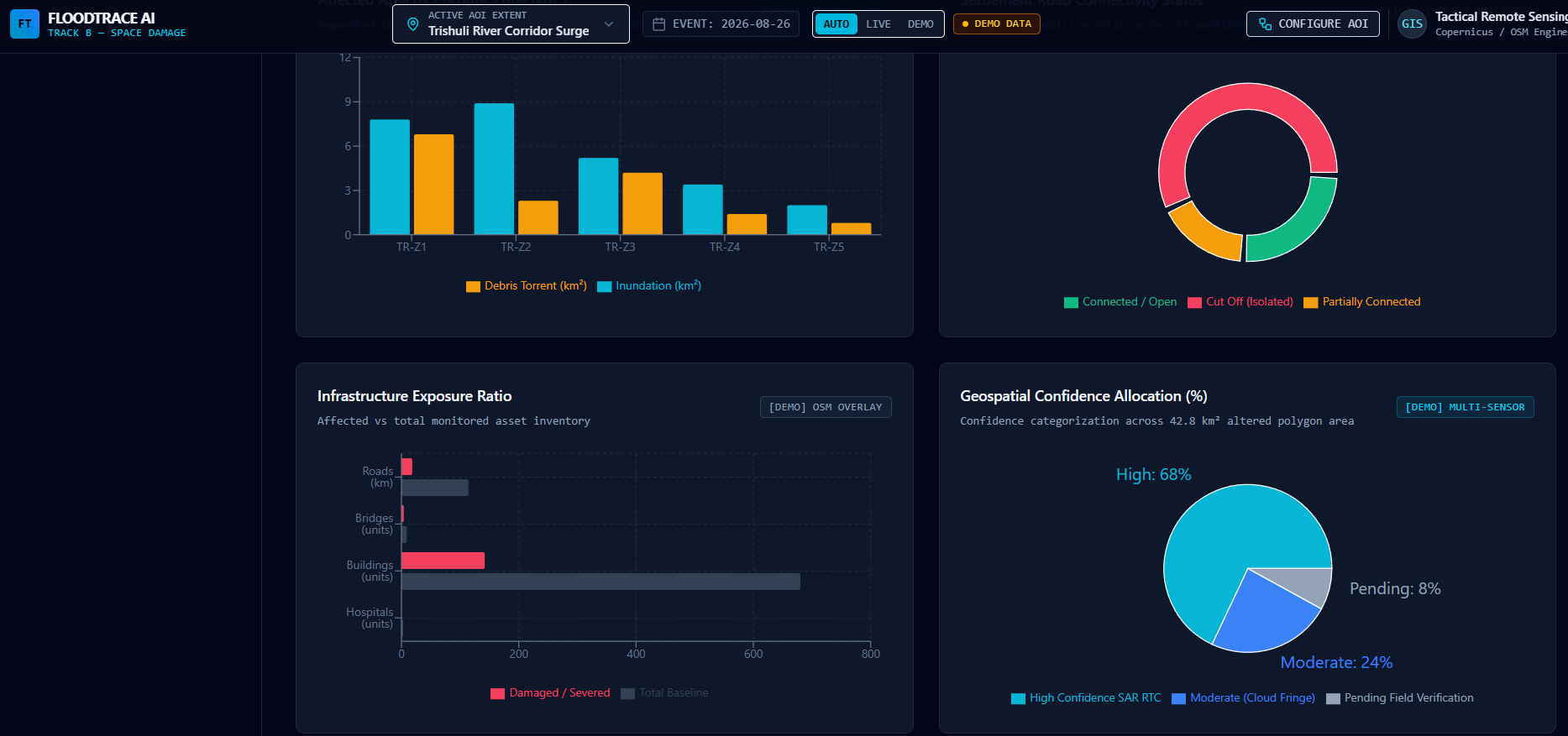
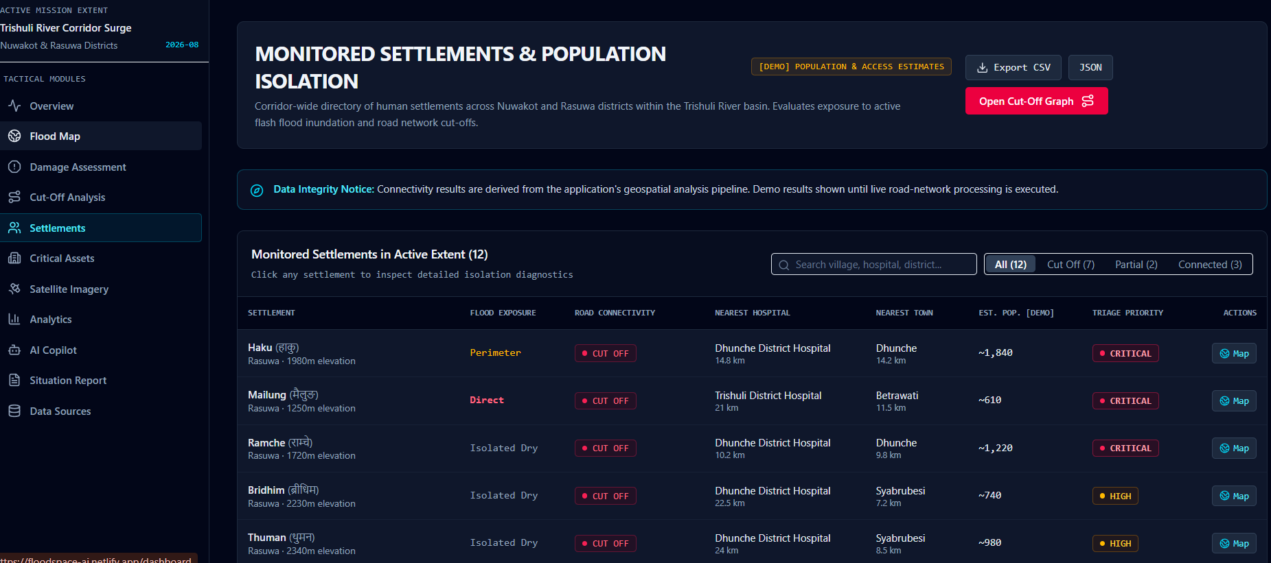
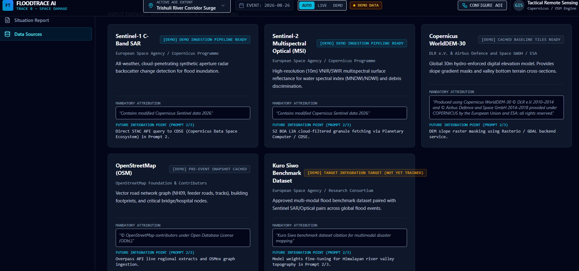
How we built it: We designed a web-based platform that brings satellite-based flood information into an interactive interface. The system focuses on visualizing affected areas on maps and presenting the information in a way that can support rapid damage assessment and disaster-response decisions. We used modern web technologies for the frontend, integrated mapping and geospatial components, and used AI-assisted development tools to accelerate implementation, debugging, and interface development.
What we learned: Through this project, we learned how technology can be applied to real-world disaster-management problems. We gained practical experience with geospatial visualization, satellite imagery concepts, interactive web development, data presentation, deployment, and using AI tools effectively during the development process. We also learned the importance of designing technical solutions around the needs of actual users rather than focusing only on the technology.
Challenges we faced: One of the main challenges was converting complex satellite and geospatial information into a simple and understandable user interface. We also faced challenges in integrating different components, ensuring the map-based experience worked smoothly, and turning our initial idea into a functional prototype within limited development time. Solving these challenges helped us improve our debugging, problem-solving, teamwork, and rapid prototyping skills.
Built With
- ai/ml
- geospatial-mapping
- javascript
- react
- satellite

Log in or sign up for Devpost to join the conversation.