-
-
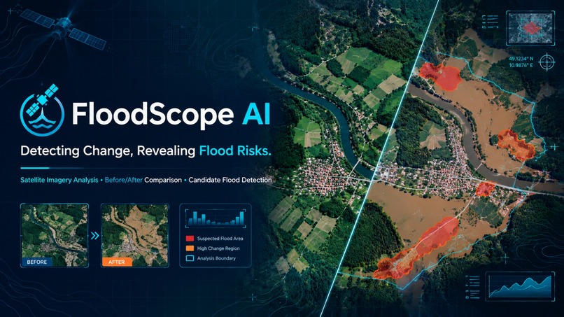
project poster
-
-
-
-
-
-
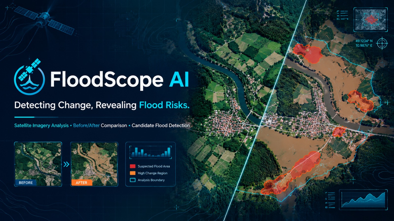
FloodScope AI — Detecting Change, Revealing Flood Risks
Inspiration
Floods can damage homes, roads, agricultural land, and essential infrastructure within a short period. Identifying affected areas quickly is important for disaster response and recovery. We were inspired to explore how satellite imagery and computer vision could help identify changes in the Earth's surface and highlight areas that may require further investigation after a flood event.
Our goal was to build an accessible, software-only prototype that compares satellite images captured before and after an event and visualizes significant surface changes.
What It Does
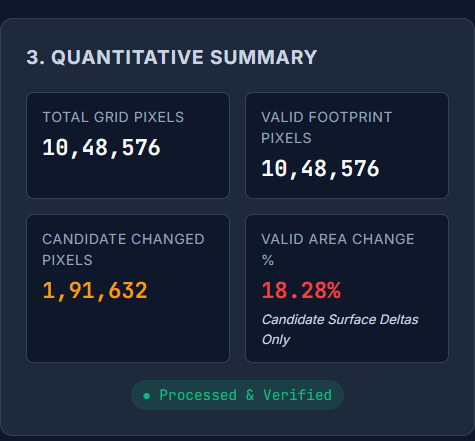
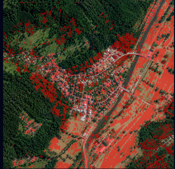
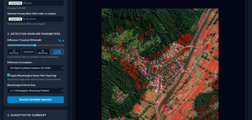
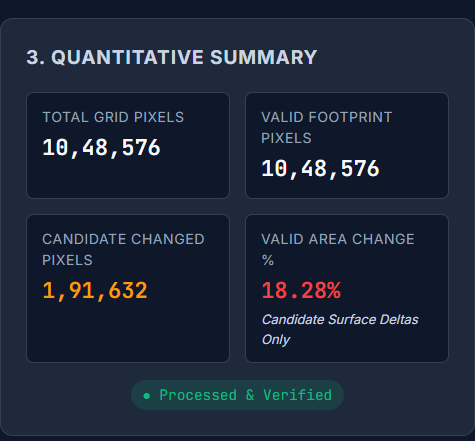
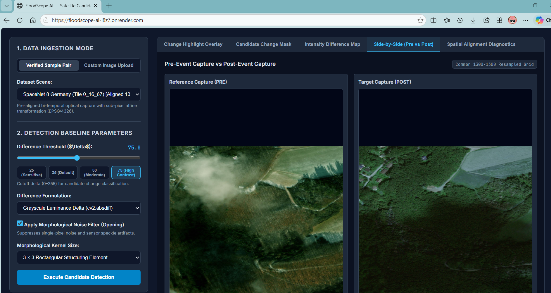
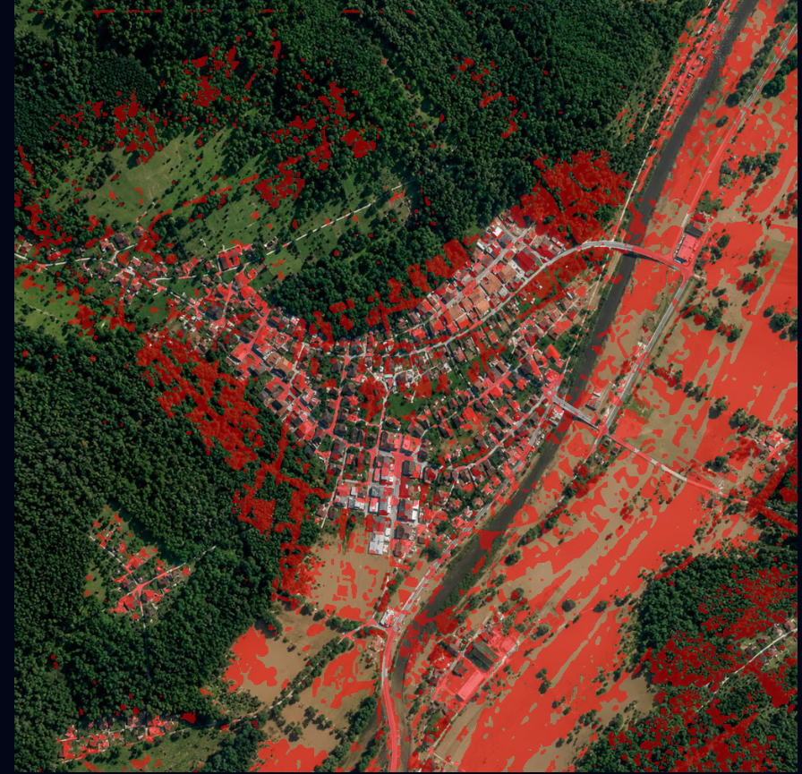
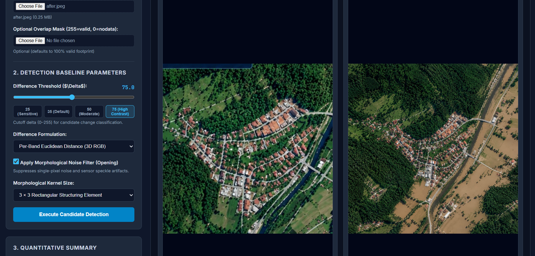
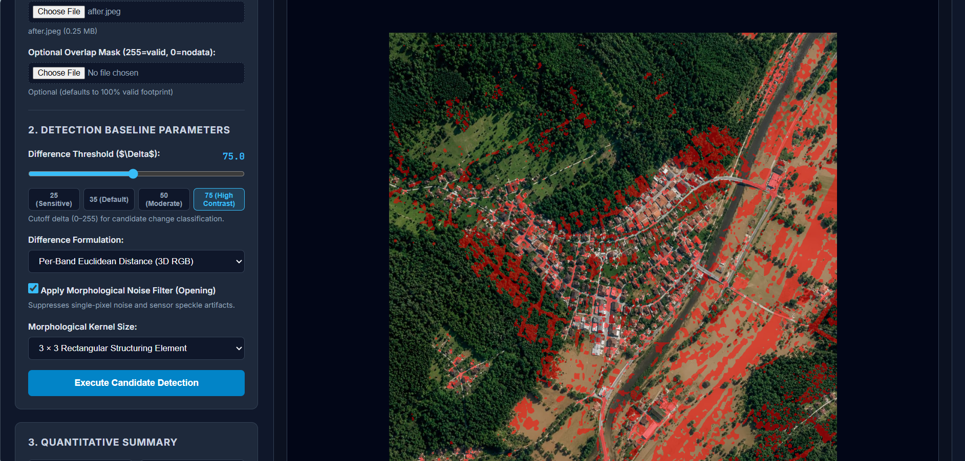
FloodScope AI is a satellite imagery analysis prototype that uses computer vision to compare before-and-after images of the same geographical area. It highlights candidate surface changes through visual overlays and difference maps, helping users inspect locations where notable changes have occurred.
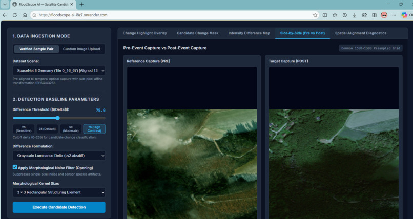
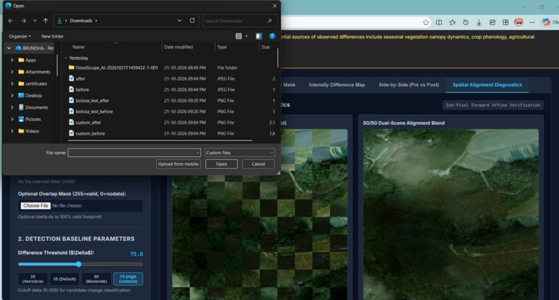
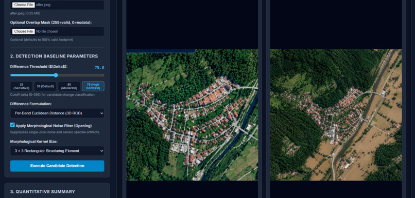
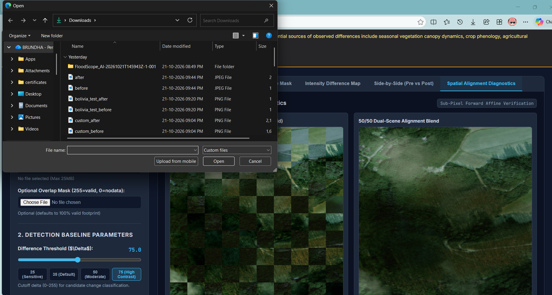
The application includes image upload, change-highlight overlays, candidate change masks, intensity difference maps, side-by-side image comparison, and spatial alignment diagnostics. Its purpose is to support preliminary analysis, not to independently confirm flooding.
How We Built It
We organized the project around a dataset-preparation and verification workflow using sample satellite imagery from Sen1Floods11 and SpaceNet 8. We inspected image dimensions, colour channels, geospatial metadata, and available annotations before preparing data for analysis.
We then developed a visual workflow for loading image pairs, comparing pixel intensities, applying configurable detection thresholds, and displaying candidate changes. The interface was designed to make the results understandable through multiple visualization modes.
Our approach emphasizes keeping the original images intact, checking spatial alignment before comparison, and clearly communicating the limitations of the results.
Challenges We Faced
One of our main challenges was that satellite images of the same location can have different dimensions, resolutions, or spatial grids. Comparing them directly can create misleading differences, so proper alignment and resampling are important.
Another challenge was distinguishing flood-related changes from normal environmental variations, including vegetation, agricultural activity, shadows, lighting, and seasonal changes. We also found that some available dataset annotations describe roads and buildings rather than providing complete flood-water masks.
These challenges taught us that an attractive visualization is not enough: reliable detection requires appropriate reference data, careful preprocessing, and independent validation.
What We Learned
Through FloodScope AI, we explored satellite imagery, computer vision, dataset verification, image preprocessing, change detection, and visualization. We learned the importance of checking image alignment, understanding the meaning of dataset labels, and avoiding unsupported conclusions from raw pixel differences.
We also learned that communicating uncertainty is an essential part of building responsible AI tools, especially for applications related to disaster management.
Future Scope
Future improvements could include integrating additional satellite sources, using validated flood-water masks, developing segmentation models, and evaluating performance against independent ground-truth data. We also aim to improve geospatial alignment, reduce false positives, and provide more useful summaries of potentially affected areas.
Our Vision
FloodScope AI is an initial step toward making satellite-based surface-change analysis more accessible. By combining computer vision with responsible interpretation, we hope to contribute to tools that help people investigate potential flood impacts more efficiently.


Log in or sign up for Devpost to join the conversation.