-
Hero slide
-
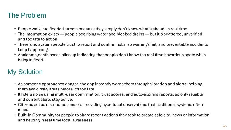
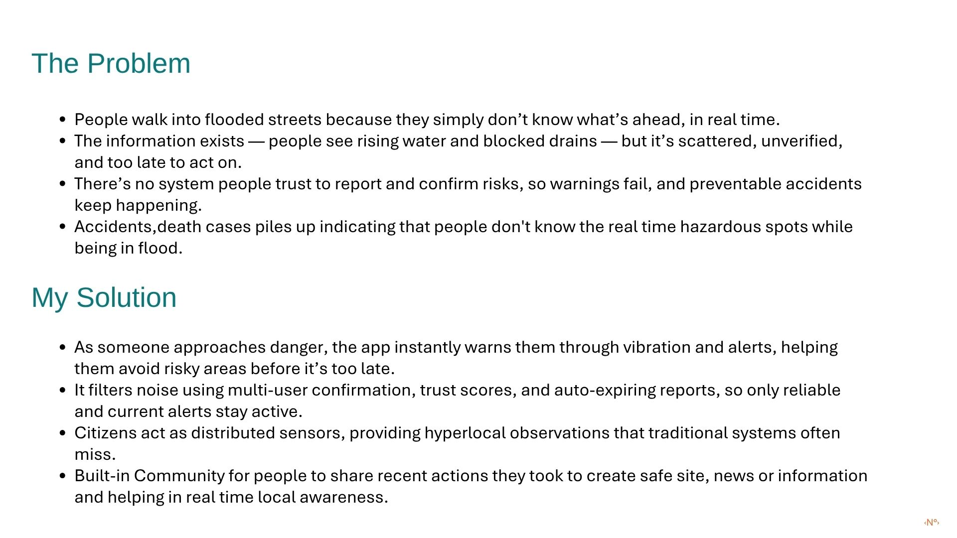
Problem statement
-
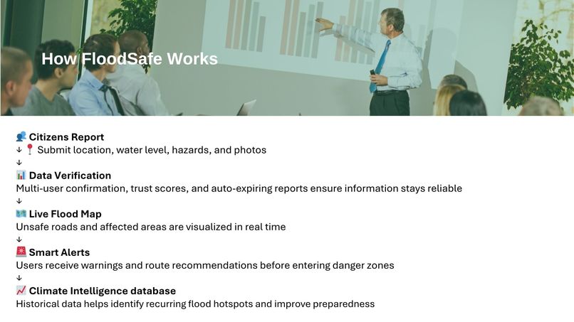
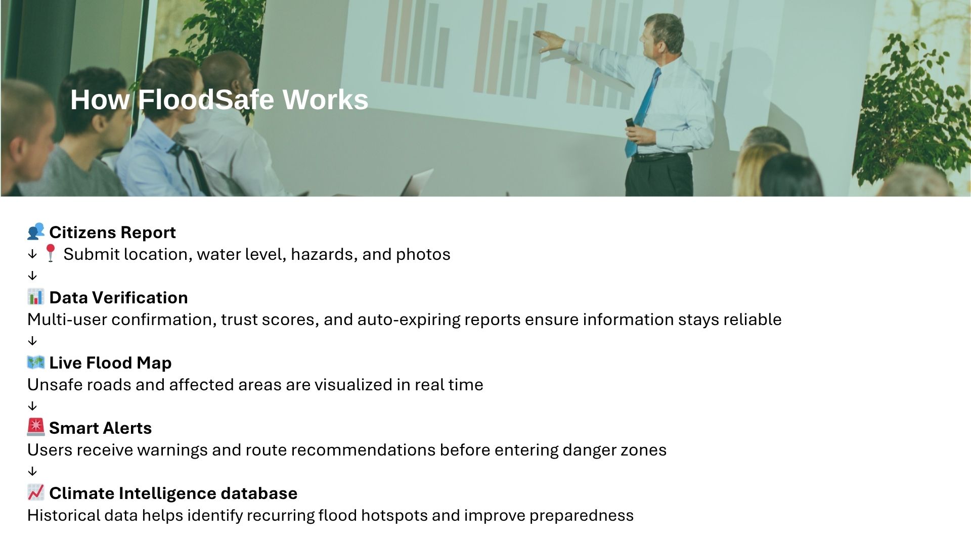
How it works
-
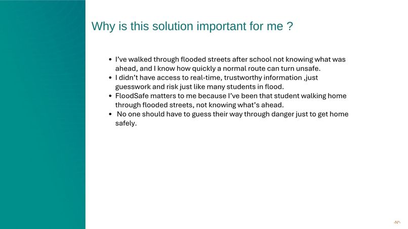
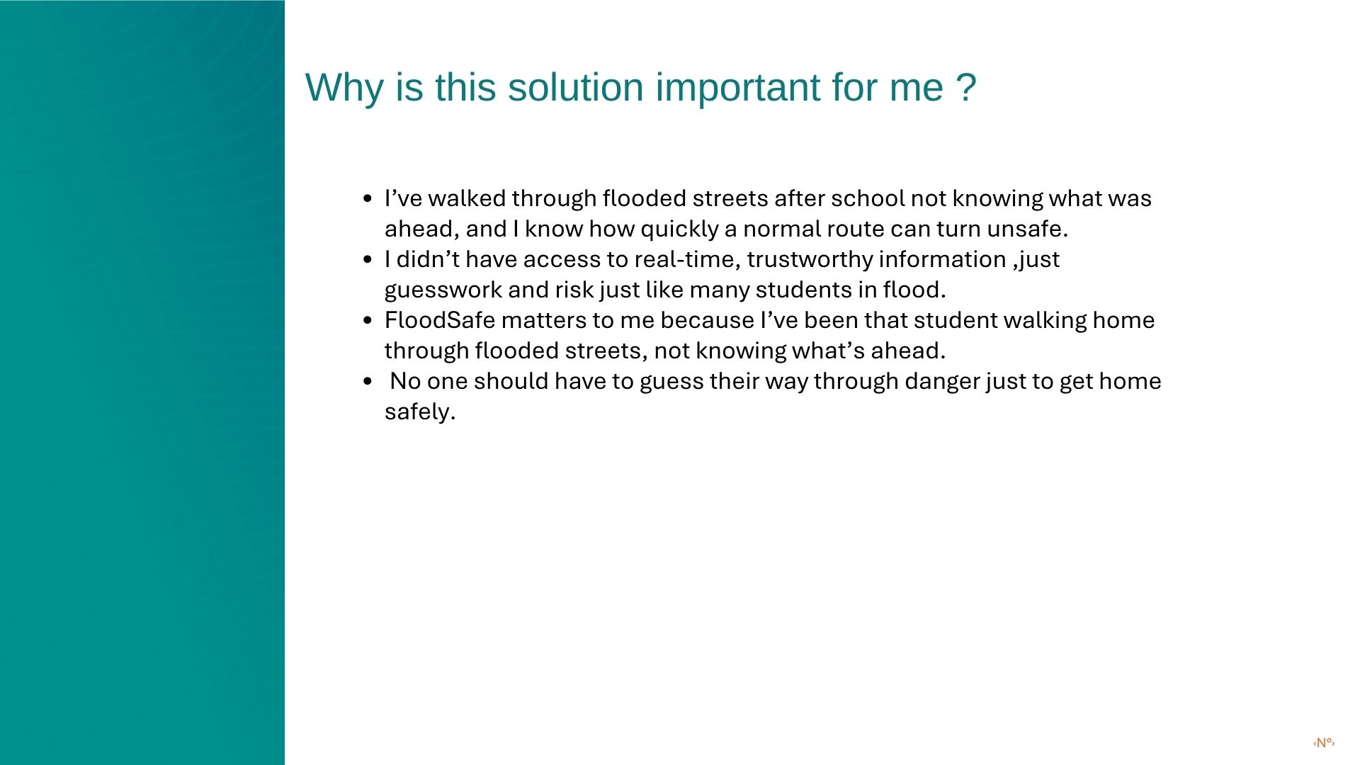
Importance
-
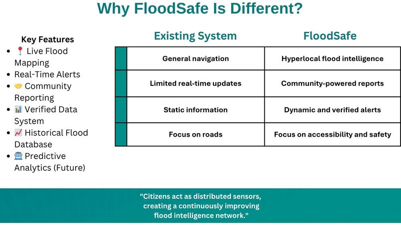
Competitor analysis
-
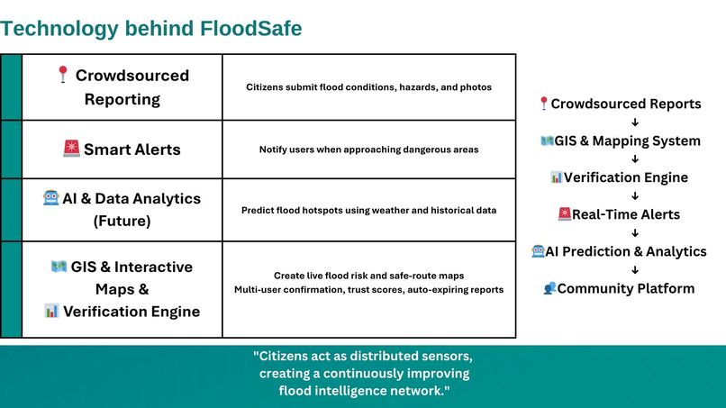
Tech
-
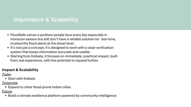
Scalability
-
Inspiration
Growing up in Kolkata, India, I always thought flooded roads during the monsoon were simply a part of life. Every year, schools closed, roads disappeared under water, and everyone adjusted their plans. But what stayed with me most were my mother's words whenever it rained: "Walk carefully. There could be potholes or open drains hidden under the water." I realized that something as ordinary as walking home could become dangerous because people lacked reliable information about flooded roads. That led me to ask a simple question: If we have maps for traffic, why don't we have maps for flood safety? That's how FloodSafe was born.
What it does
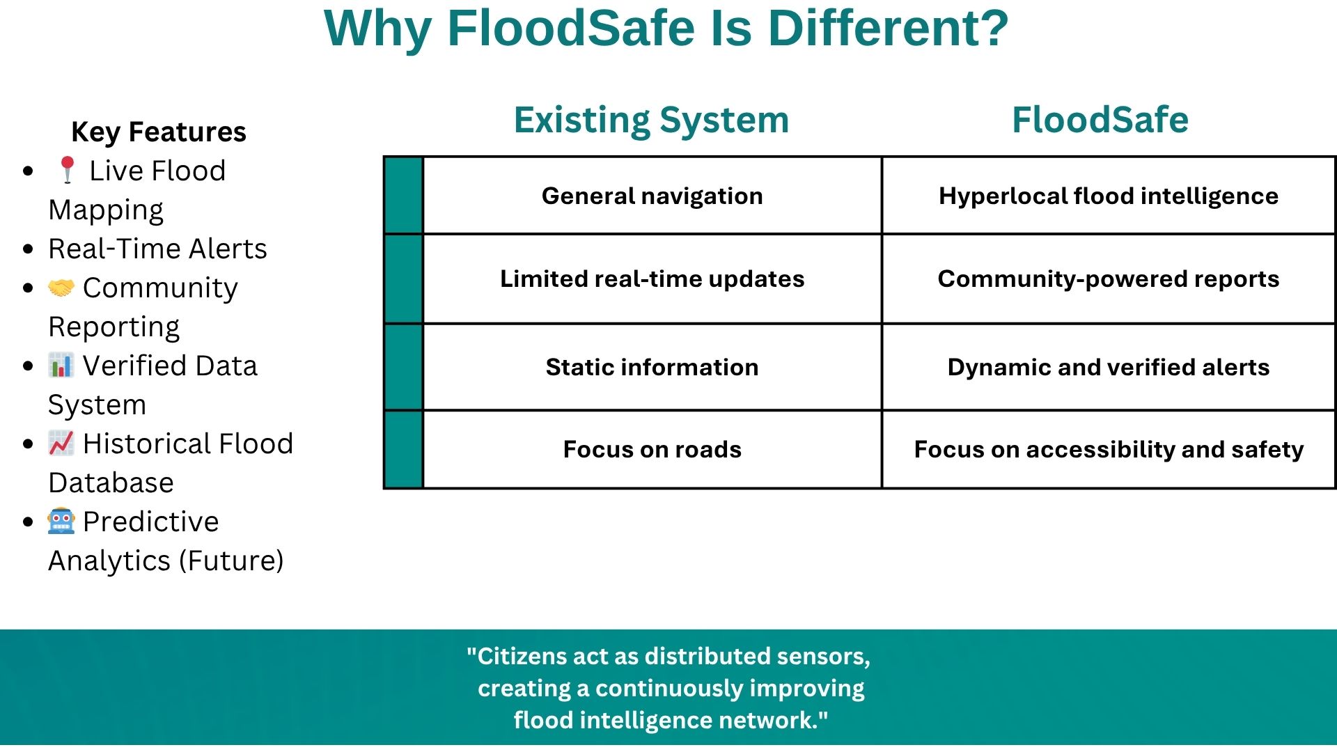
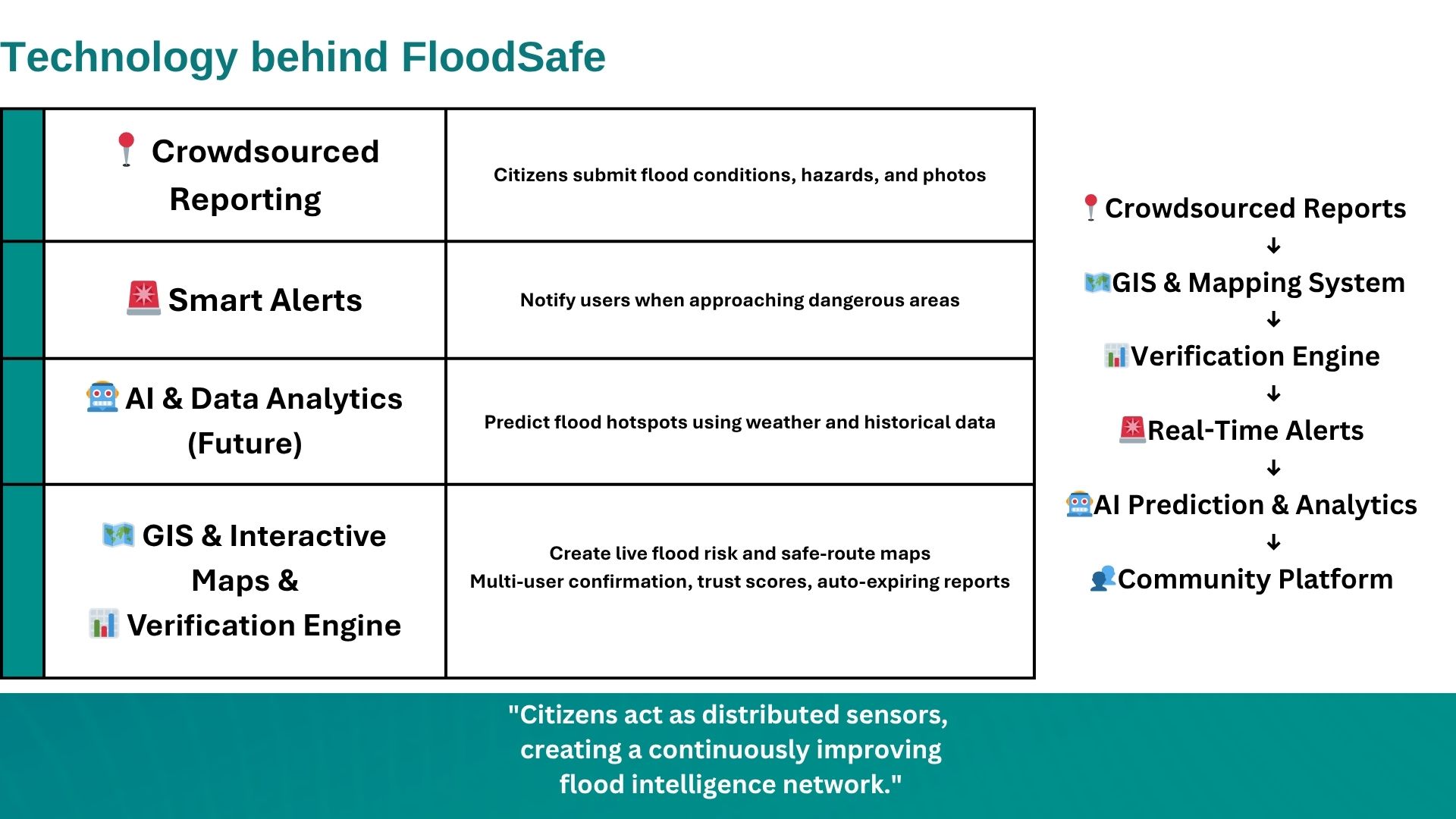
FloodSafe is a community-powered platform that helps people navigate floods more safely by providing verified, real-time information about flooded roads, hidden hazards, blocked routes, and safer alternatives. Community members can report local conditions, while the system verifies reports through multiple confirmations and trust scores to reduce misinformation. The long-term vision is to integrate AI-assisted verification and flood-risk analysis to make alerts faster and more reliable.
How we built it
I started by researching urban flooding, community-based disaster response, and navigation platforms. I studied how crowdsourced information could be made more trustworthy and designed a concept that combines community reporting, GPS mapping, verification mechanisms, and AI-assisted moderation. I also gathered insights from the experiences of people in my community who face flooding every monsoon, ensuring the solution addresses real needs rather than assumptions.
Challenges we ran into
As a high school student, I had limited technical resources, funding, and access to field testing. Another challenge was designing a system that people could trust, since inaccurate reports during emergencies could put lives at risk. Balancing research, schoolwork, and project development while continuously improving the idea has also been a significant challenge.
Accomplishments that we're proud of
I'm proud that FloodSafe grew from a personal observation into a well-researched solution focused on a real community problem. Instead of accepting flooding as unavoidable, I transformed that experience into a project with the potential to improve public safety. I'm also proud of developing the concept independently through research and user-centered thinking while still in high school.
What we learned
This project taught me that meaningful innovation begins with listening. The best ideas don't always come from advanced technology they come from understanding people's everyday challenges. I also learned the importance of designing with communities, validating assumptions through research, and creating solutions that are practical, trustworthy, and accessible for everyone.
What's next for FloodSafe
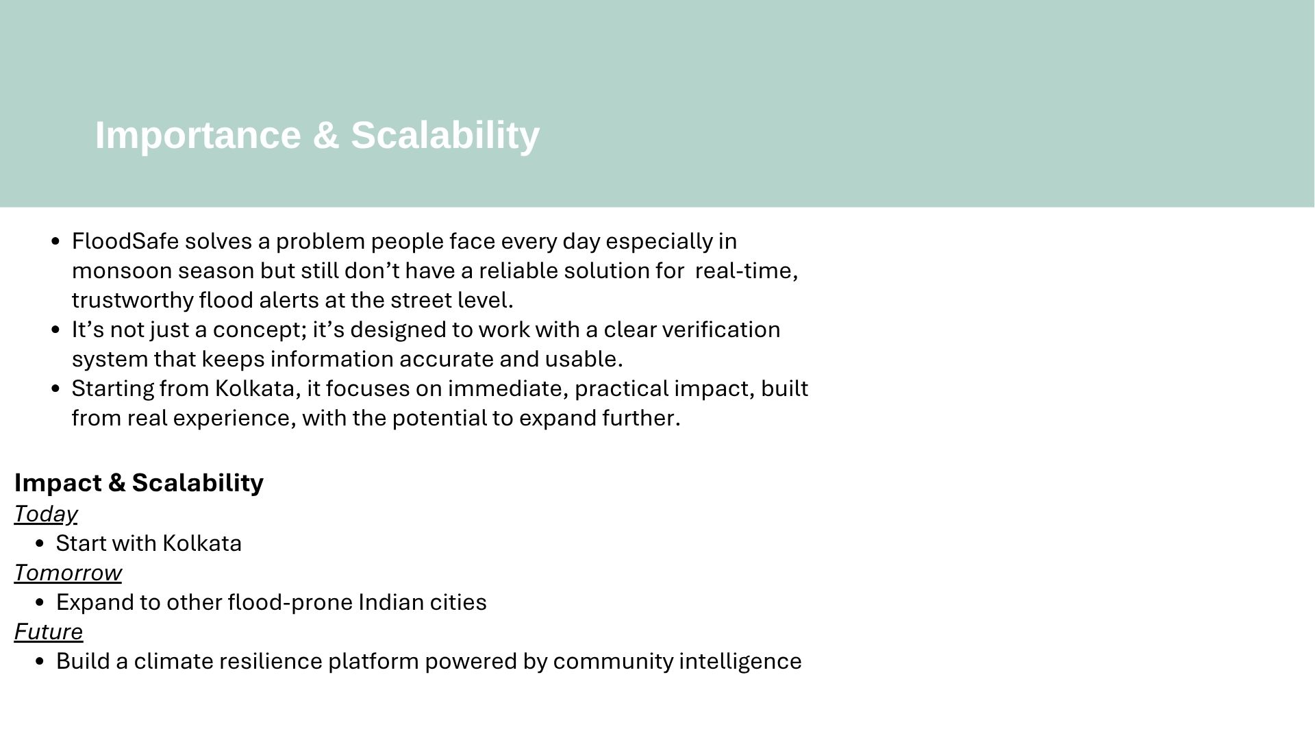
The next step for FloodSafe is to move from concept to a working prototype. I plan to build a minimum viable product (MVP) that allows users to report flooded roads, hidden hazards, and safe routes through an interactive map. I also want to test the platform with local communities during the monsoon season to gather feedback and improve the user experience. As the project grows, I hope to integrate AI-assisted report verification, predictive flood-risk analysis, and partnerships with local organizations, schools, NGOs, and government agencies. My long-term vision is for FloodSafe to become a scalable, community-driven platform that helps cities respond more effectively to urban flooding and enables people to make safer decisions before and during extreme weather events.
Built With
- canva
- googleforms


Log in or sign up for Devpost to join the conversation.