Inspiration
Floods can cause serious damage, and satellite imagery can help us observe changes over large areas. I wanted to explore how AI and satellite data could make flood assessment easier to understand.
What it does
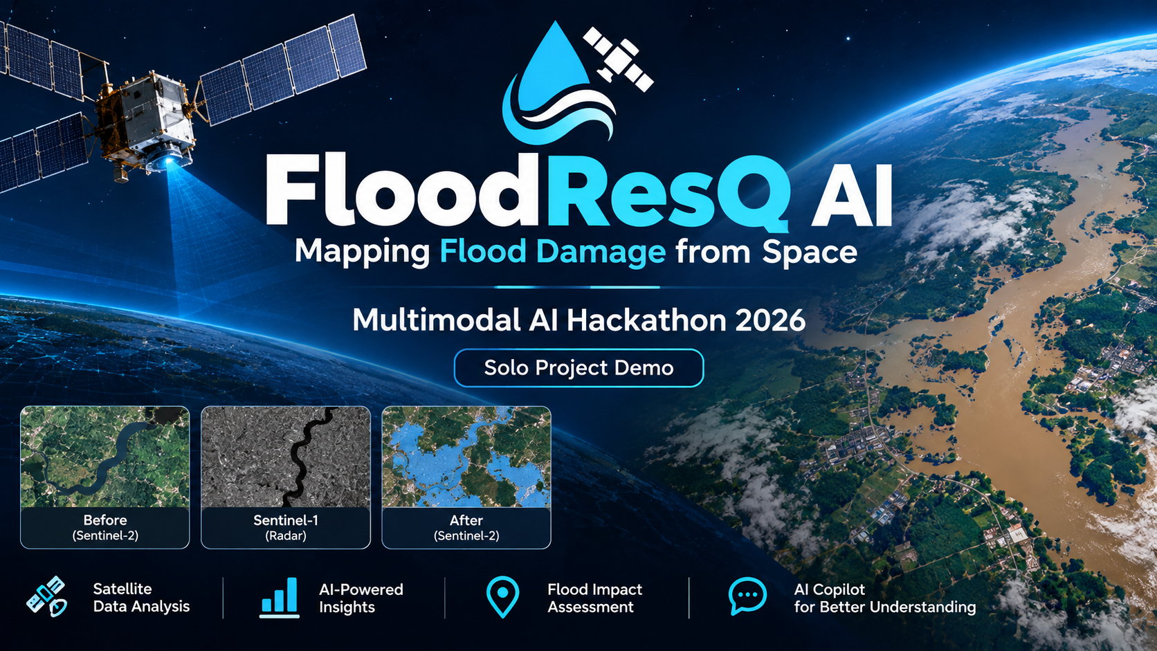
FloodResQ AI is an AI-assisted flood assessment prototype. It explores Sentinel-1 radar and Sentinel-2 optical observations, presents analysis results on an interactive dashboard, and includes an AI Copilot to explain the available evidence and its limitations.
How we built it
I developed the project as a solo participant using a web dashboard, satellite-data analysis, and an AI-assisted explanation feature. I used AI coding assistants to help with development and debugging.
Challenges
The main challenges included handling satellite imagery, presenting results clearly, and distinguishing possible changes from confirmed flooding.
What we learned
I learned about satellite observations, flood-mapping workflows, web application development, and the importance of communicating uncertainty.
What's next
Future work includes rerunning the complete analysis, validating the results against independent reference maps, and improving the reliability of flood assessment.

Log in or sign up for Devpost to join the conversation.