💡 Inspiration
The Himalayan region is highly vulnerable to flash floods, cloudbursts, glacial lake outburst floods (GLOFs), and landslides. These disasters can destroy roads, damage bridges, isolate villages, and disrupt access to hospitals and emergency services.
Traditional flood monitoring systems often struggle with heavy cloud cover and provide limited information about how flooding affects road connectivity and nearby settlements.
We were inspired to build FloodLens AI, an AI-powered disaster intelligence platform that combines satellite imagery, terrain analysis, road network mapping, and artificial intelligence to help identify flood-affected areas and assess their impact on critical infrastructure.
Our goal is to transform satellite data into actionable insights that can support faster, better-informed disaster response decisions.
🚀 What it does
FloodLens AI provides an integrated platform for analyzing Himalayan floods and their potential impact on road connectivity and settlements.
Its key capabilities include:
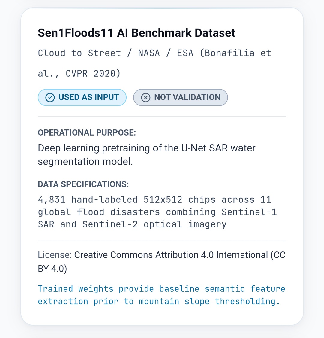
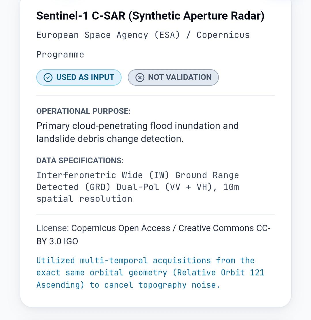
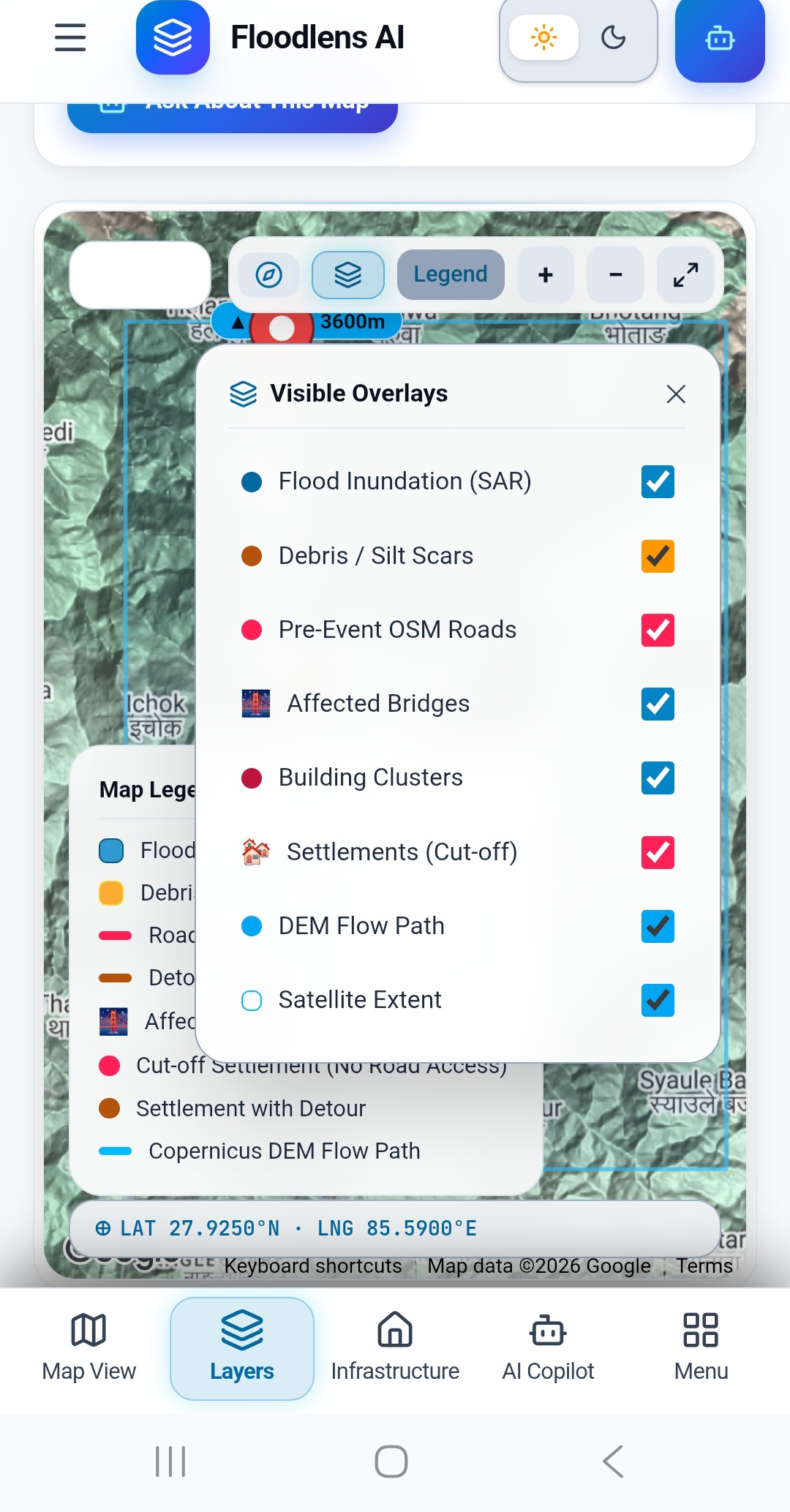
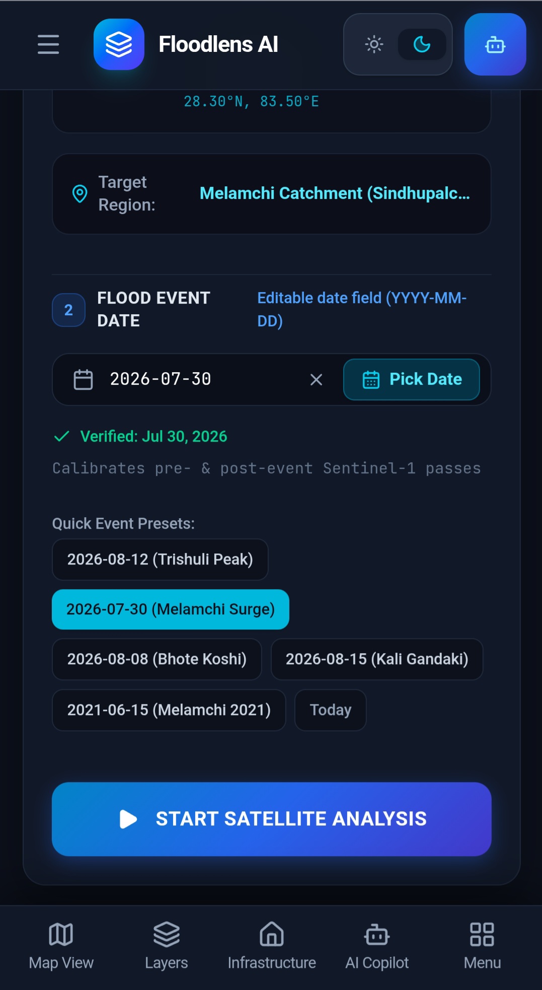
🛰️ Satellite-Based Flood Detection: Uses Sentinel-1 Synthetic Aperture Radar (SAR) imagery to identify changes in surface water, even under cloudy conditions and at night.
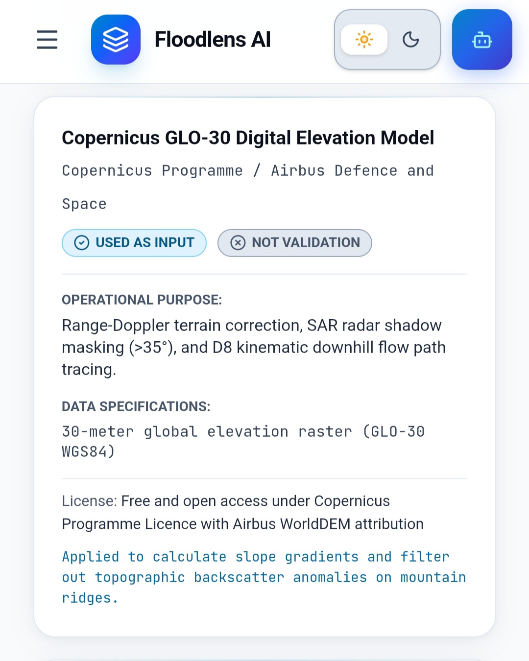
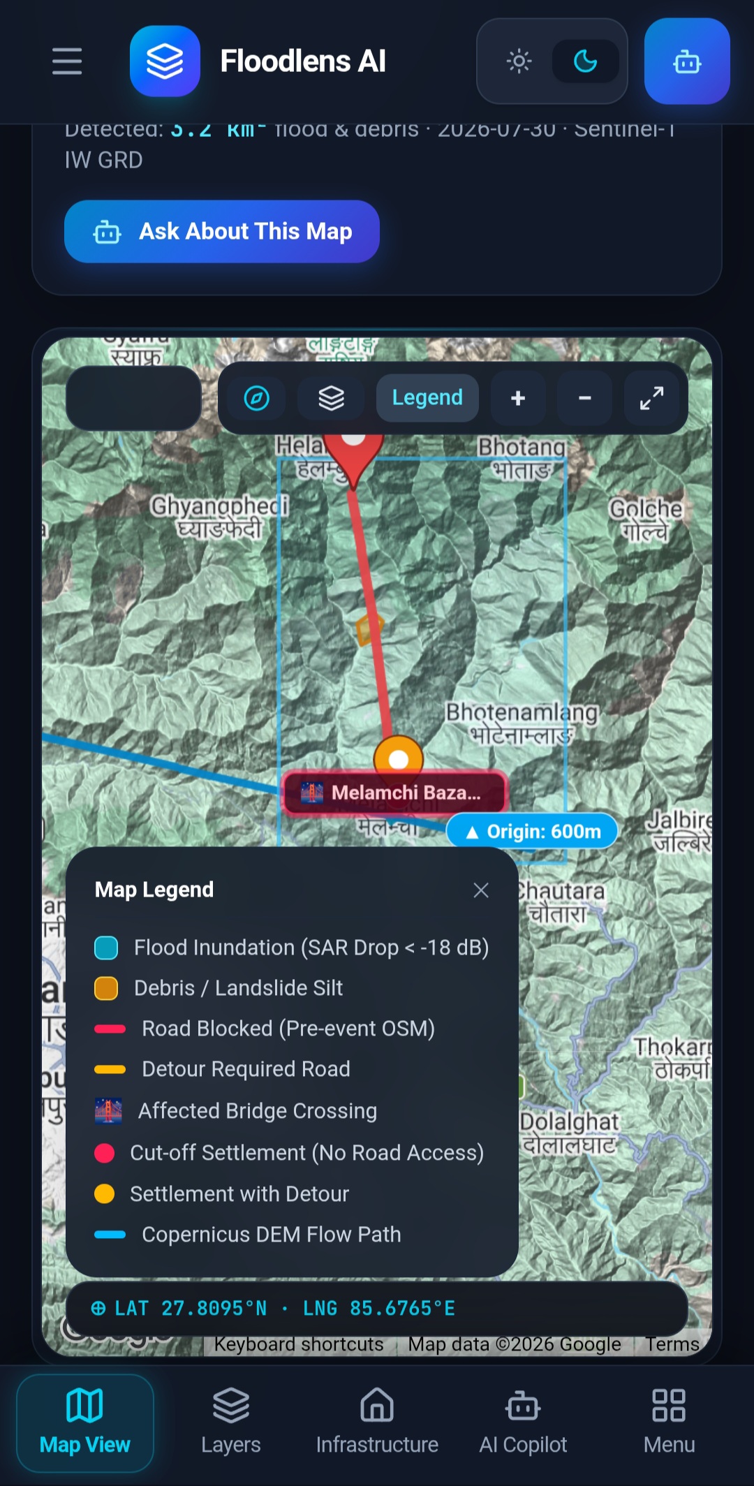
🏔️ Terrain and Flow-Path Analysis: Uses the Copernicus Digital Elevation Model (DEM) to estimate downhill flow paths and identify potential flood corridors, narrow gorges, and topographic bottlenecks.
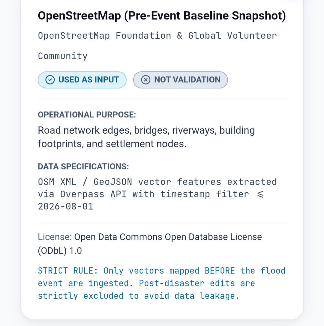
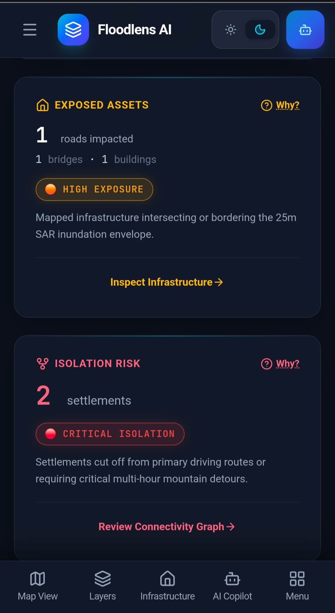
🛣️ Infrastructure Impact Assessment: Overlays flood information with OpenStreetMap data to identify potentially affected roads, bridges, schools, hospitals, and residential areas.
🏥 Settlement Isolation Analysis: Evaluates road network connectivity to identify settlements that may lose access to hospitals, relief camps, and alternative routes.
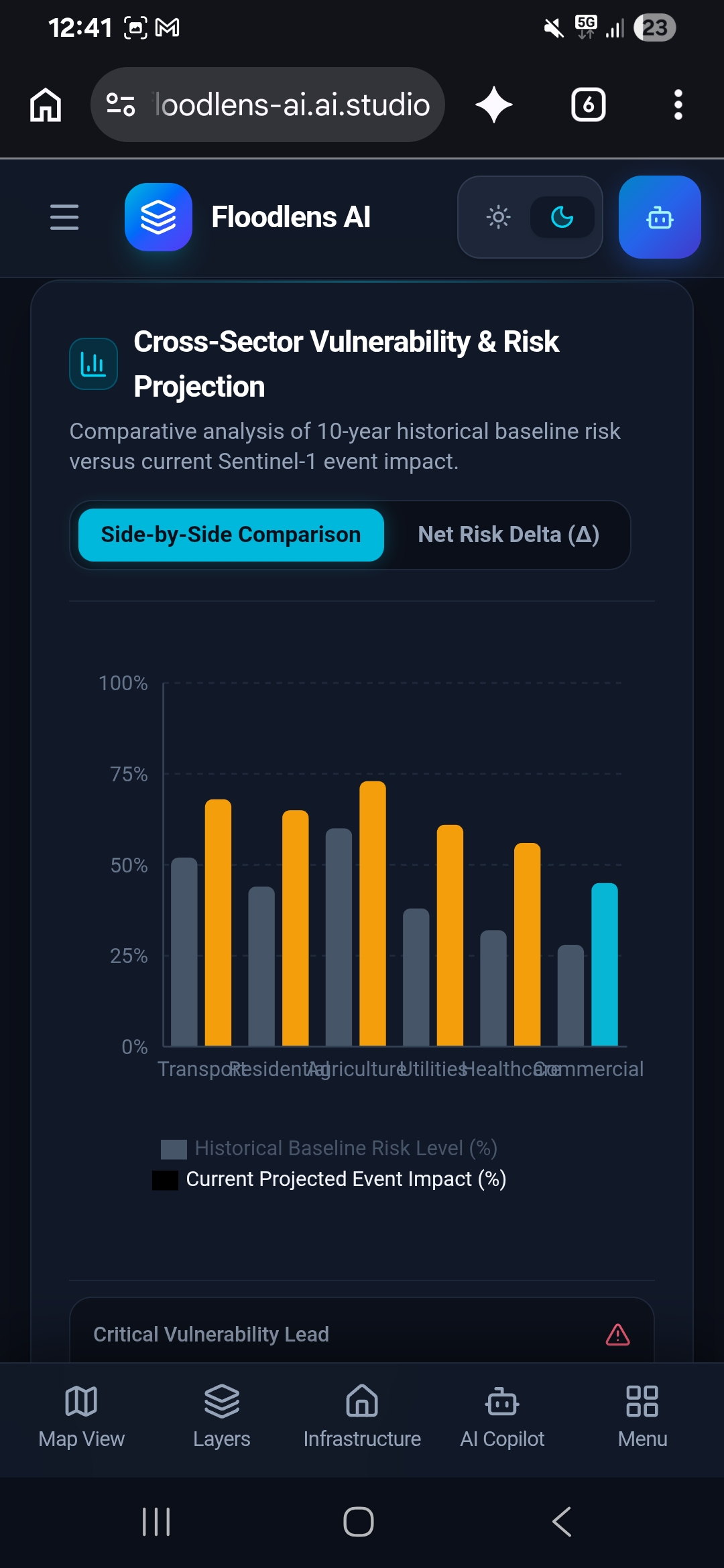
⚠️ Severity Classification: Categorizes infrastructure exposure into Critical, High, and Moderate levels to help prioritize further investigation and emergency response.
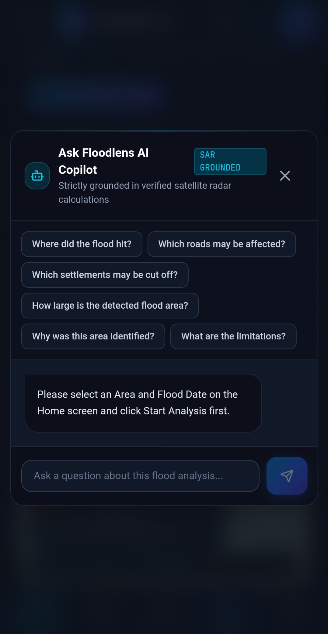
🤖 AI-Powered Situation Reports: Uses the Gemini API to generate structured situation reports containing detected impacts, response priorities, recommended field verification, and evacuation connectivity concerns.
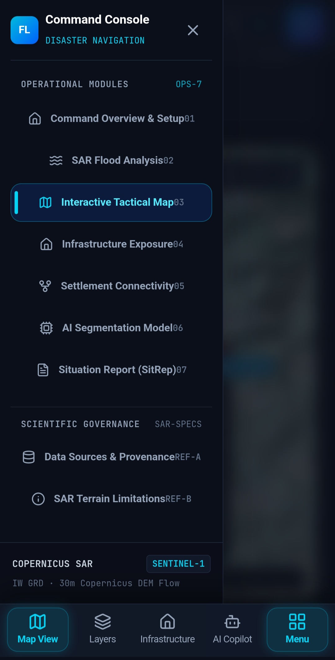
📱 Mobile-First Interface: Provides interactive maps, infrastructure analysis, an AI Copilot, and printable situation reports through a responsive interface with dark and light themes.
FloodLens AI aims to help disaster management teams understand not only where flooding may occur, but also how it could affect transportation networks and isolate vulnerable communities.
🛠️ How we built it
FloodLens AI combines geospatial data processing, satellite-based analysis, graph algorithms, and generative AI in a unified web application.
Technology Stack
- Frontend: React and TypeScript
- Styling: Tailwind CSS
- Backend: Express.js
- AI Integration: Gemini API
- Satellite Data: Sentinel-1 SAR
- Elevation Data: Copernicus DEM (30 m)
- Infrastructure Data: OpenStreetMap
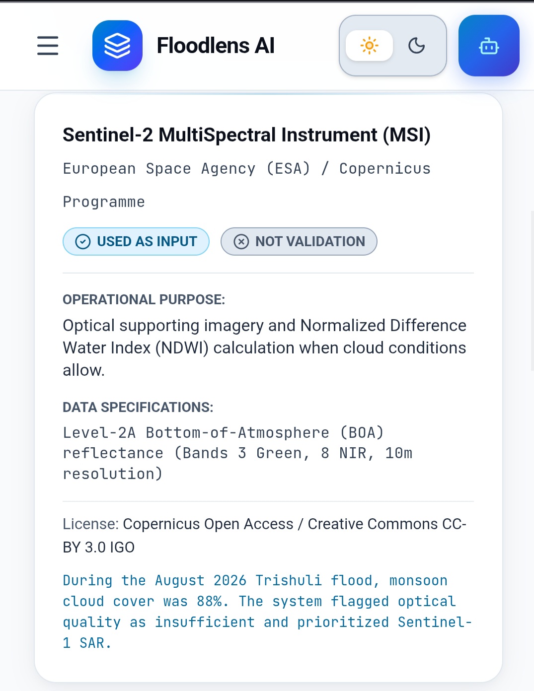
- Water Baseline Data: Copernicus Water and Sentinel-2 baseline indices
Our Approach
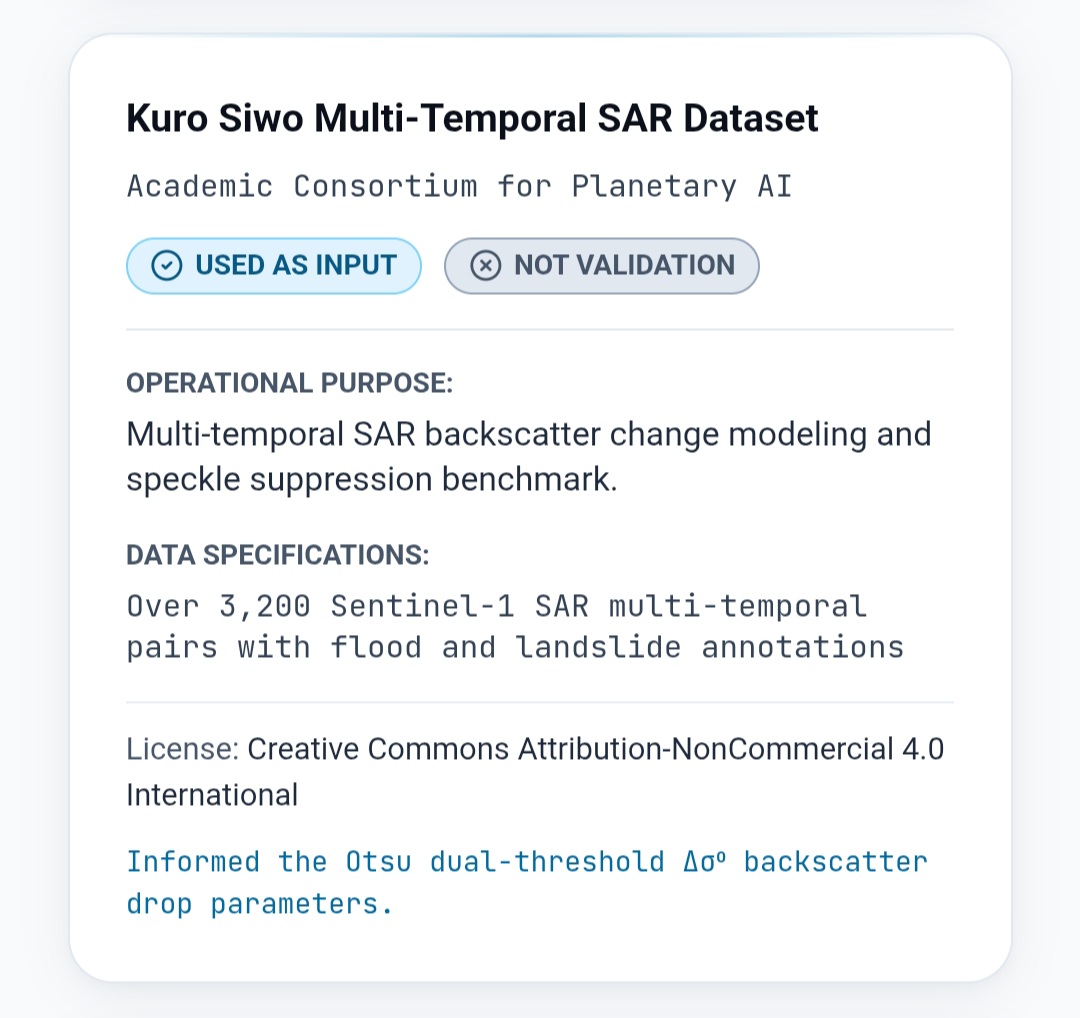
Satellite Change Detection: We designed a workflow around Sentinel-1 radar backscatter changes to help distinguish newly inundated areas from pre-event conditions.
Terrain Modeling: We incorporated elevation-based analysis to estimate downhill flow paths and highlight terrain features that may influence flood propagation.
Infrastructure Mapping: We combined geospatial flood information with road networks, bridges, healthcare facilities, and settlement data to assess potential infrastructure exposure.
Connectivity Analysis: We used graph-based road network analysis to evaluate alternative routes and identify settlements that may become disconnected when important road segments are unavailable.
AI-Powered Reporting: We integrated the Gemini API to transform structured analysis results into readable situation reports while limiting generated claims to the data supplied to the AI.
User Interface Development: We designed a responsive dashboard with dedicated sections for analysis, interactive maps, infrastructure, the AI Copilot, and situation reports.
The overall architecture connects satellite observations and terrain information with infrastructure analysis, helping users interpret complex geospatial information through a single interface.
🧩 Challenges we ran into
Developing FloodLens AI involves several technical and analytical challenges:
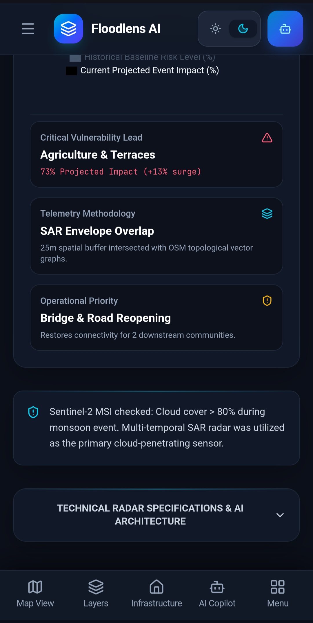
Cloud Cover and Weather Conditions: Optical satellite imagery can be limited by clouds during monsoon events. Radar imagery helps overcome this limitation, but it still requires careful processing and interpretation.
Distinguishing Floodwater from Other Surfaces: Changes in radar backscatter can result from vegetation, soil moisture, terrain geometry, and other factors. Separating actual inundation from these effects requires reliable preprocessing and validation.
Modeling Complex Himalayan Terrain: Steep slopes, narrow valleys, and rapidly changing elevation make flood-flow estimation challenging. A 30 m DEM may not capture every small channel, embankment, or road-level feature.
Assessing Road Damage: Satellite imagery can help identify potential flooding and surface changes, but it cannot always confirm whether a road or bridge has been physically damaged or remains passable.
Maintaining Reliable Connectivity Analysis: Accurate isolation assessments depend on up-to-date road networks, correct identification of blocked segments, and reliable routing data.
Avoiding Unsupported AI Predictions: AI-generated reports must distinguish observed evidence from modeled estimates and unverified assumptions. We designed the reporting workflow to prioritize supplied telemetry and communicate the need for field verification.
Combining Multiple Data Sources: Integrating satellite observations, elevation models, infrastructure data, and AI-generated reports into a consistent workflow requires careful data handling and clear communication of uncertainty.
These challenges reinforced the importance of combining automated analysis with data validation and human verification.
🏆 Accomplishments that we're proud of
We are proud to have developed the concept of a unified disaster intelligence platform that connects flood detection with road connectivity and settlement isolation analysis.
Our major accomplishments include:
- Bringing satellite-based flood monitoring and infrastructure exposure assessment together in one platform.
- Designing an approach for identifying potentially disrupted roads, bridges, and essential facilities.
- Incorporating graph-based connectivity analysis to evaluate alternative routes and potential settlement isolation.
- Integrating AI-assisted situation report generation to make complex geospatial findings easier to understand.
- Designing a mobile-first interface that organizes different analytical capabilities into dedicated sections.
- Building the system around real geospatial data sources rather than relying solely on generic AI-generated predictions.
- Establishing a workflow that emphasizes evidence, uncertainty, and field verification in disaster response.
Most importantly, FloodLens AI focuses on a critical question during flood emergencies: Which communities and essential services could lose road connectivity, and where should responders investigate first?
📚 What we learned
Developing FloodLens AI helped us understand that effective disaster intelligence requires much more than identifying water on a map.
We learned that:
- Satellite data needs context: Flood observations become more useful when combined with terrain, infrastructure, and historical baseline information.
- Flood detection and flood prediction are different: Identifying inundation from satellite imagery does not automatically provide a reliable forecast of future flooding.
- Connectivity matters: A single blocked road can have consequences far beyond the flooded area, especially in remote mountain valleys.
- AI works best with structured evidence: Supplying the AI with explicit analytical results helps produce more useful reports and reduces unsupported claims.
- Data quality determines reliability: Outdated roads, incomplete satellite coverage, and coarse elevation data can affect the results.
- Uncertainty must be communicated: Modeled flood extents and estimated road disruptions should not be presented as confirmed ground conditions without verification.
- User experience is important: Clear maps, understandable severity categories, and well-organized navigation make complex information more accessible during emergencies.
These lessons shaped our approach toward building a practical, transparent, and evidence-oriented disaster analysis platform.
🔭 What's next for FloodLens AI?
Our next goal is to improve FloodLens AI from an integrated analytical prototype into a more reliable, validated, and operational disaster intelligence system.
Planned Improvements
Real-Time Data Integration: Connect to reliable satellite data services and rainfall observations to support more timely flood monitoring.
Flood Extent Validation: Compare detected flood boundaries against trusted reference datasets and field observations to improve reliability.
Improved Hydraulic Modeling: Incorporate more detailed terrain, drainage, river flow, and hydrological information to improve flood pathway estimation.
Debris and Landslide Assessment: Investigate additional methods for identifying potential debris deposits, landslides, and damaged infrastructure.
Road Passability Verification: Integrate verified road closure reports, field observations, and additional remote-sensing evidence to distinguish potentially affected roads from confirmed blockages.
More Accurate Route Planning: Improve routing algorithms to identify alternative access routes to hospitals, relief camps, and other essential facilities.
Community-Level Alerts: Explore location-specific notifications for settlements that may face increased isolation risk.
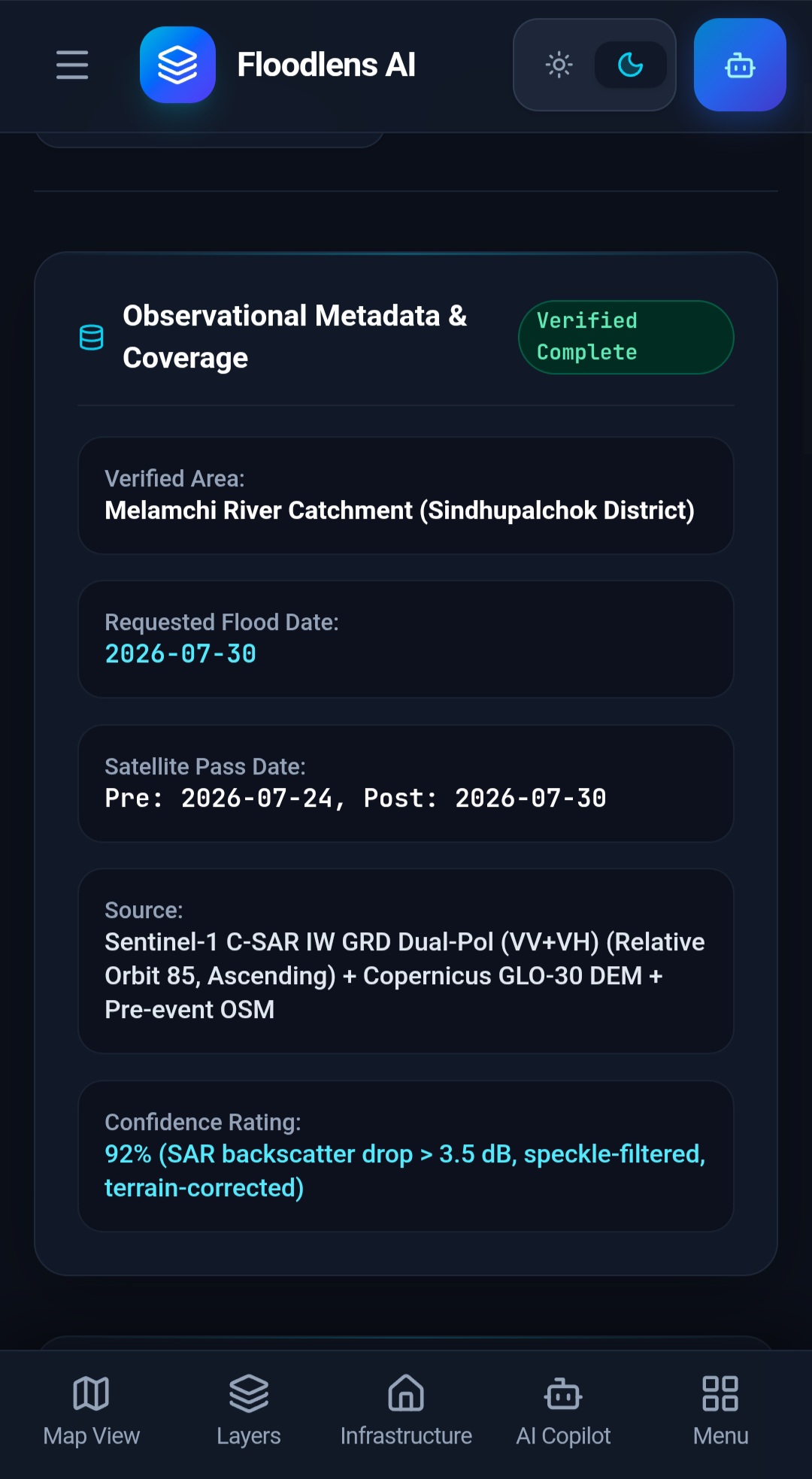
Confidence Scores and Data Provenance: Display the source, observation time, confidence level, and verification status of important findings.
Historical Event Analysis: Evaluate the system using documented flood events in regions such as Sikkim, Chamoli, and Wayanad.
Expanded Geographic Coverage: Adapt the platform for other flood-prone mountain regions and river valleys.
Field Team Integration: Explore tools for collecting ground observations and updating road conditions during disaster response.
Performance and Scalability: Improve processing efficiency and backend architecture to support larger areas and more frequent data updates.
Our long-term vision is to make FloodLens AI a trusted decision-support platform that helps disaster management teams identify infrastructure risks, investigate potentially isolated settlements, and prioritize field verification.

Log in or sign up for Devpost to join the conversation.