-
-
Front
-
The model
-
Model
-
Model
Inspiration
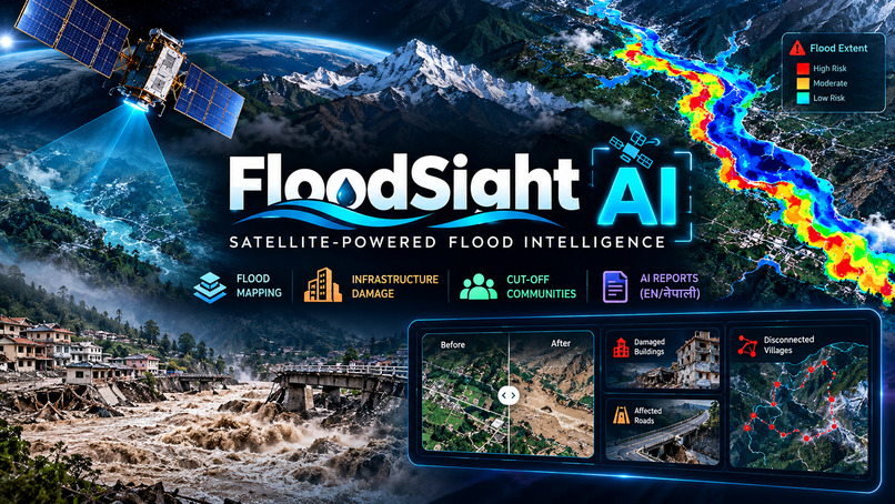
FloodSight AI — Satellite-Powered Flood Damage Intelligence
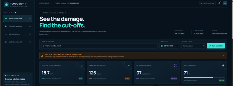
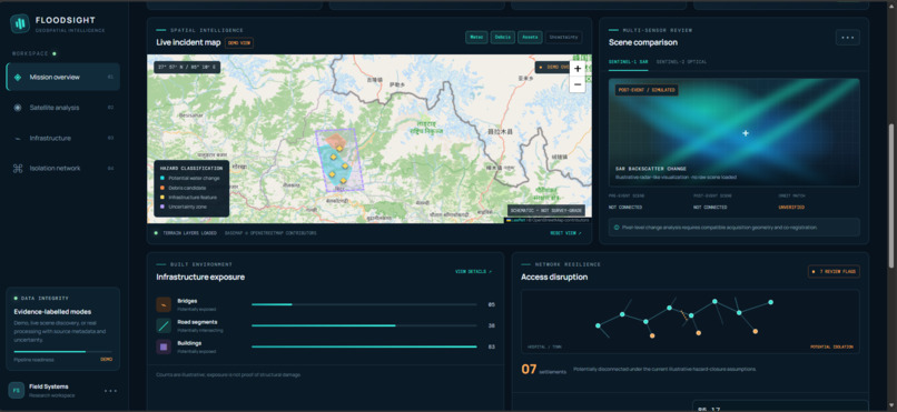
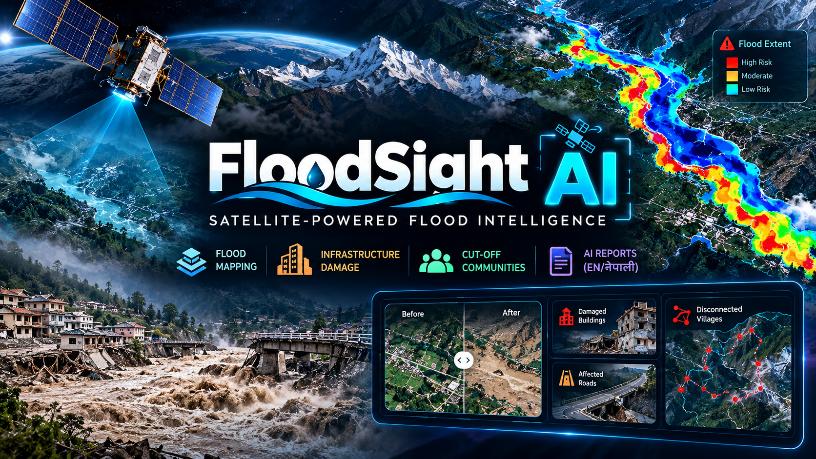
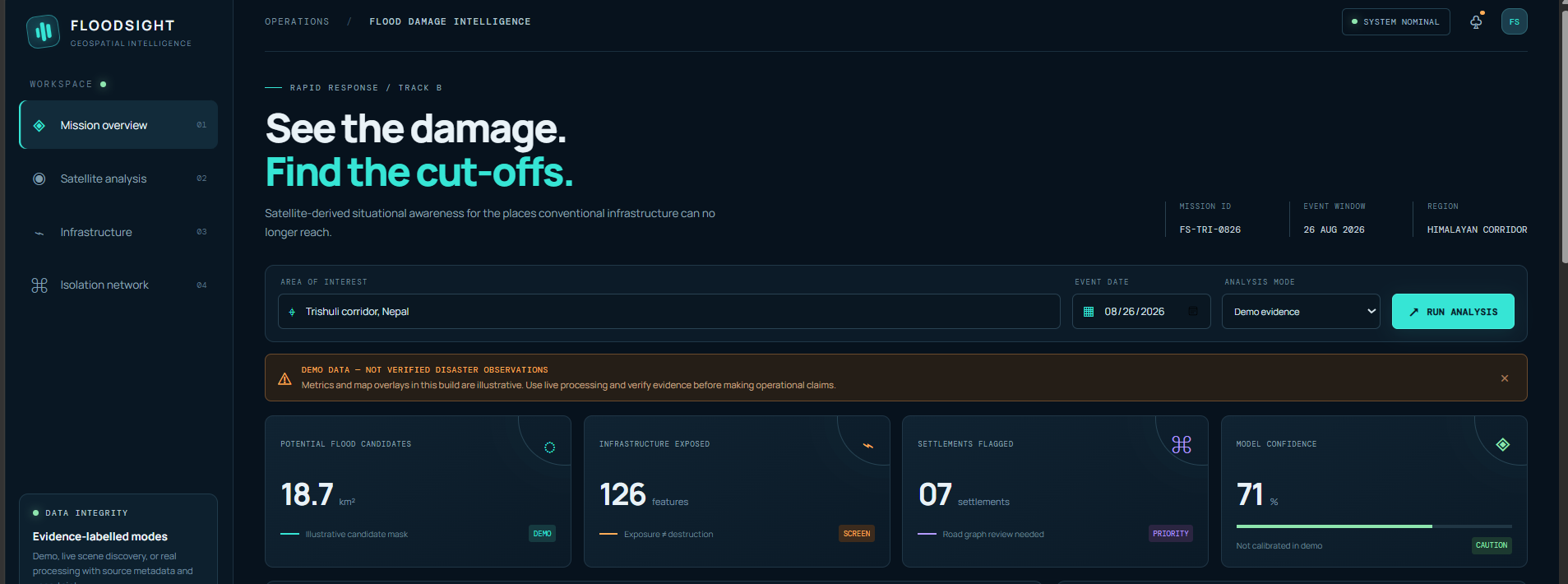
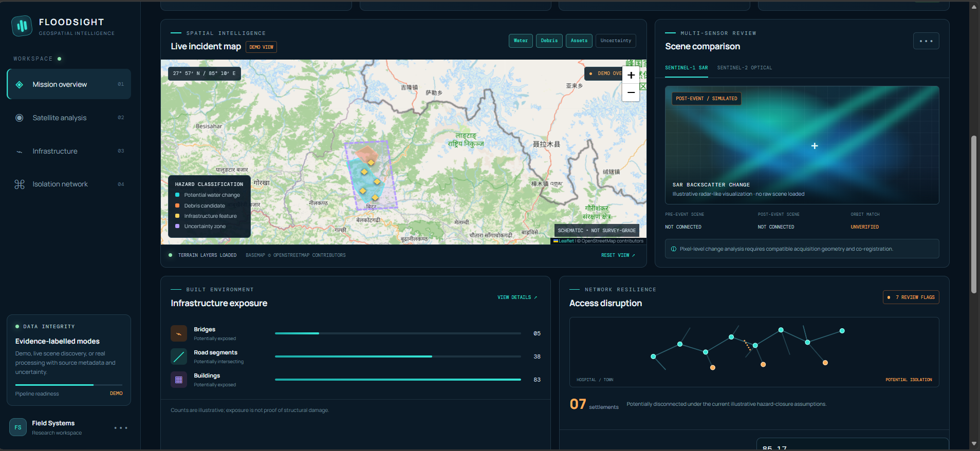
FloodSight AI is an AI-powered disaster intelligence platform designed to help rescue teams assess flood damage and identify isolated communities using satellite imagery and geospatial analysis. It compares pre-disaster and post-disaster Sentinel-1 radar imagery and Sentinel-2 optical imagery, where available, to map potential flooded and debris-covered areas. By combining satellite-derived hazard maps with pre-event OpenStreetMap data, the system estimates potentially affected buildings, roads, and bridges and identifies settlements that may have lost road connectivity to nearby towns or hospitals.
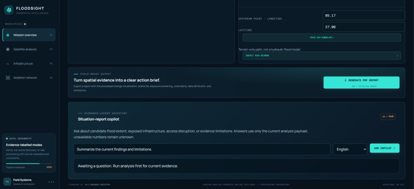
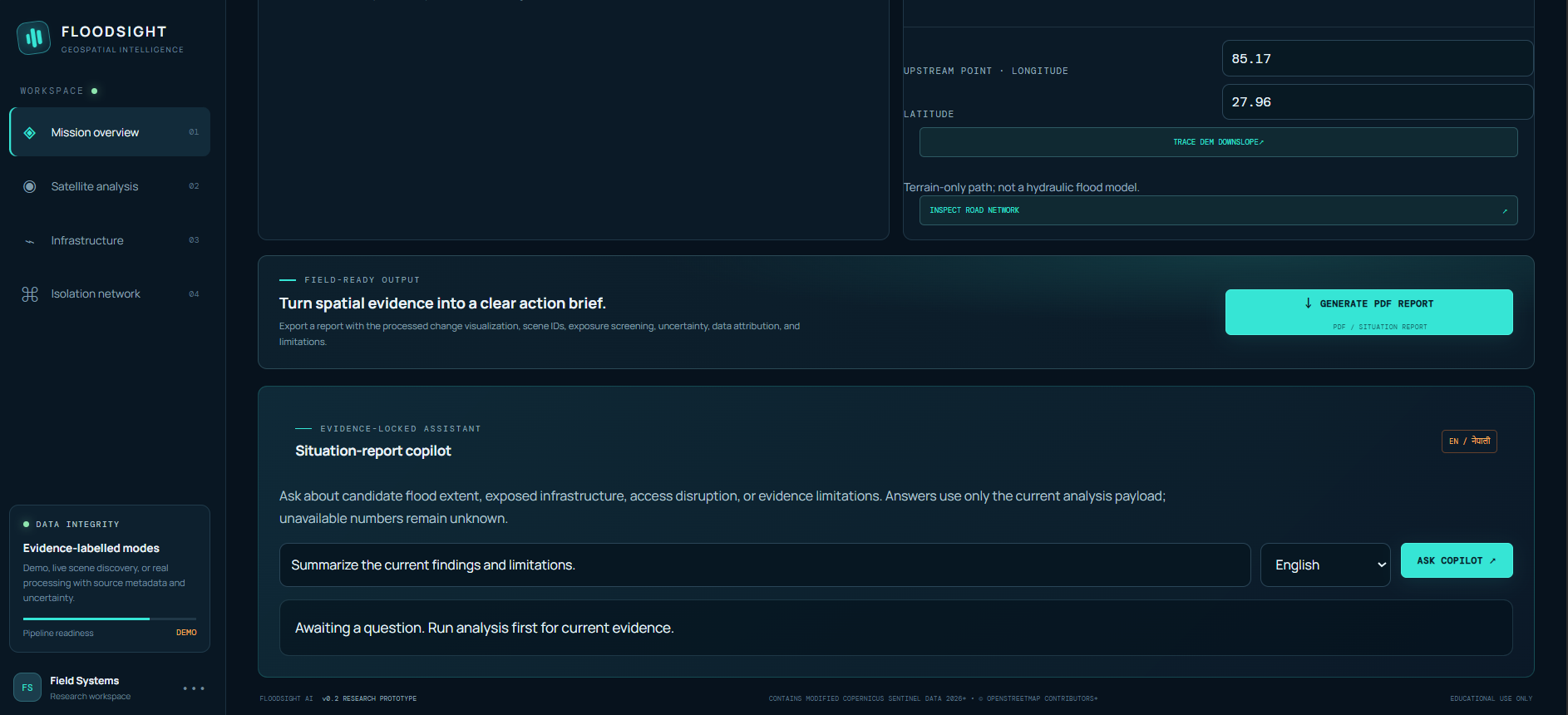
The platform features an interactive, high-resolution geospatial dashboard with color-coded hazard overlays, satellite image comparisons, infrastructure assessments, and settlement connectivity analysis. It also supports AI-assisted situation reports in English and Nepali, along with downloadable PDF reports containing maps, findings, data sources, and uncertainty information. An elevation-based flood-path tracing feature helps explore potential downstream impacts.
FloodSight AI aims to transform complex satellite data into actionable, understandable information for disaster response. It is designed as a research and hackathon prototype, with results requiring validation before operational use.
What it does
How we built it
Challenges we ran into
Accomplishments that we're proud of
What we learned
What's next for FloodLens AI
Built With
- chatgpt
- claud
- deepseek
- gemini
