Inspiration*Project name*
FloodRescue AI
Tagline
AI-Powered Flood Detection, Impact Analysis & Rescue Prioritization
Project description
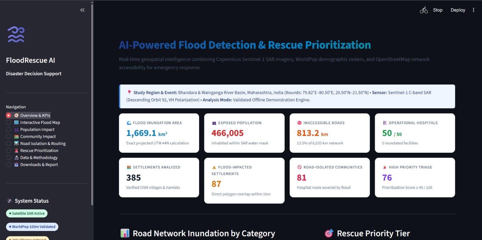
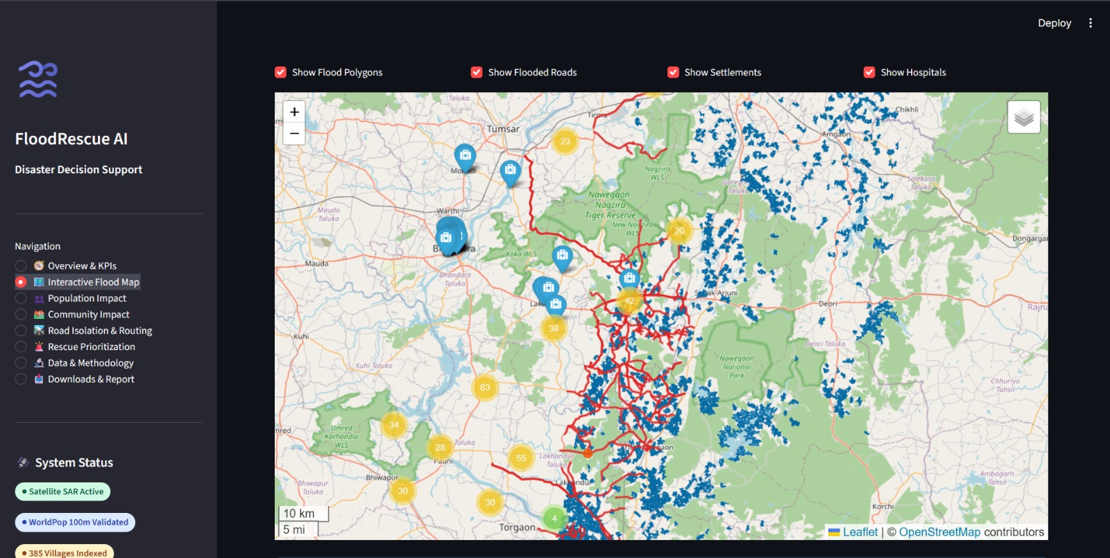
FloodRescue AI is a geospatial disaster decision-support prototype designed to help users explore flood extent, potential population exposure, settlement impacts, and road accessibility through an interactive dashboard.
The project uses flood polygons derived from Sentinel-1 synthetic aperture radar imagery processed through Google Earth Engine, population data from WorldPop, and geographic layers for visualization and spatial analysis.
Built with Python and Streamlit, the dashboard provides an overview of flood-related indicators, an interactive map, and sections for exploring population impact, community impact, road isolation, and rescue prioritization.
Our goal is to make complex geospatial information easier to understand and support better-informed disaster-response planning. The prototype's estimates require further validation before operational use.
How we built it
We developed a Python-based Streamlit dashboard to visualize geospatial data. The workflow combines satellite-derived flood polygons with population and geographic datasets to present flood-related information through maps, indicators, and analysis pages.
Challenges we faced
Handling large GeoJSON datasets, geospatial processing, and external geographic data services was challenging. We focused on making the results accessible through an interactive dashboard.
Future plans
We plan to improve validation of flood boundaries, refine population-exposure estimates, improve road-accessibility analysis, and incorporate verified real-time field reports.

Log in or sign up for Devpost to join the conversation.