Inspiration
This project was inspired by recent floods in Ellicott City, MD.
What it does
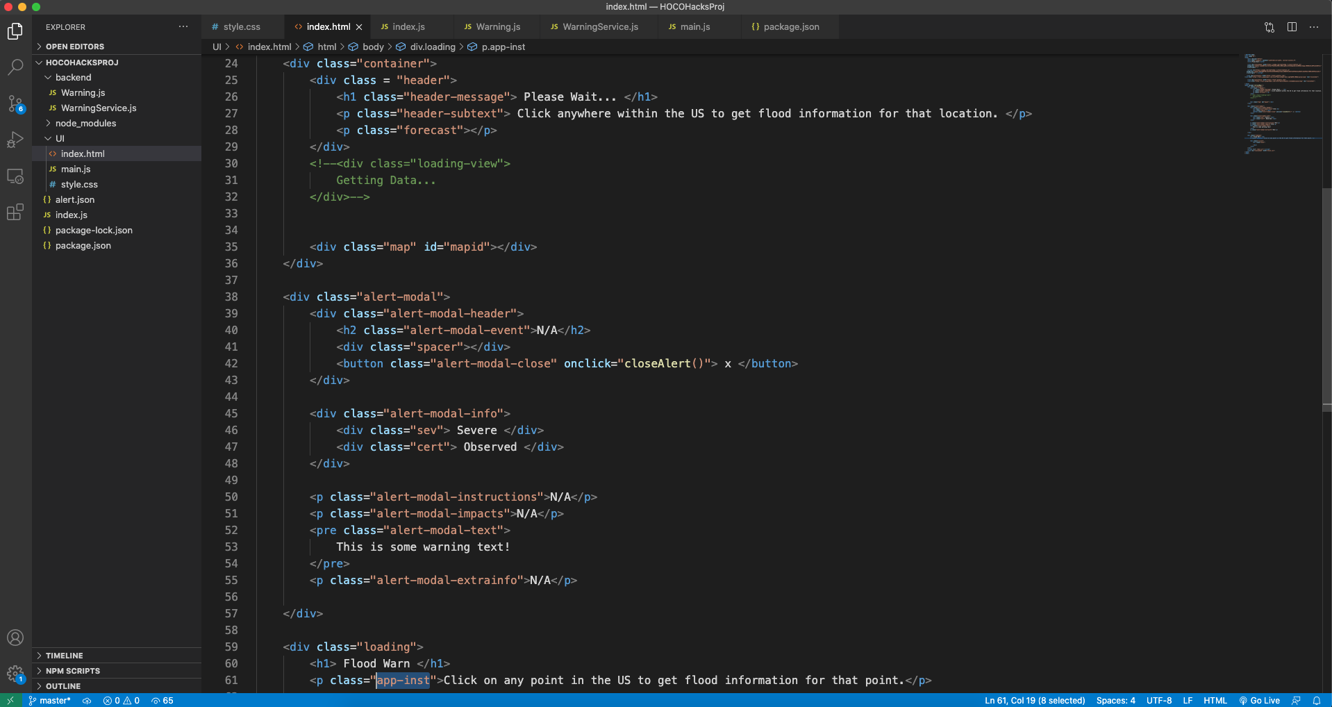
The project provides flooding information for a point the user selects on the map. The information includes the severity of the flooding, instructions on what to do, and a forecast for the water levels.
How I built it
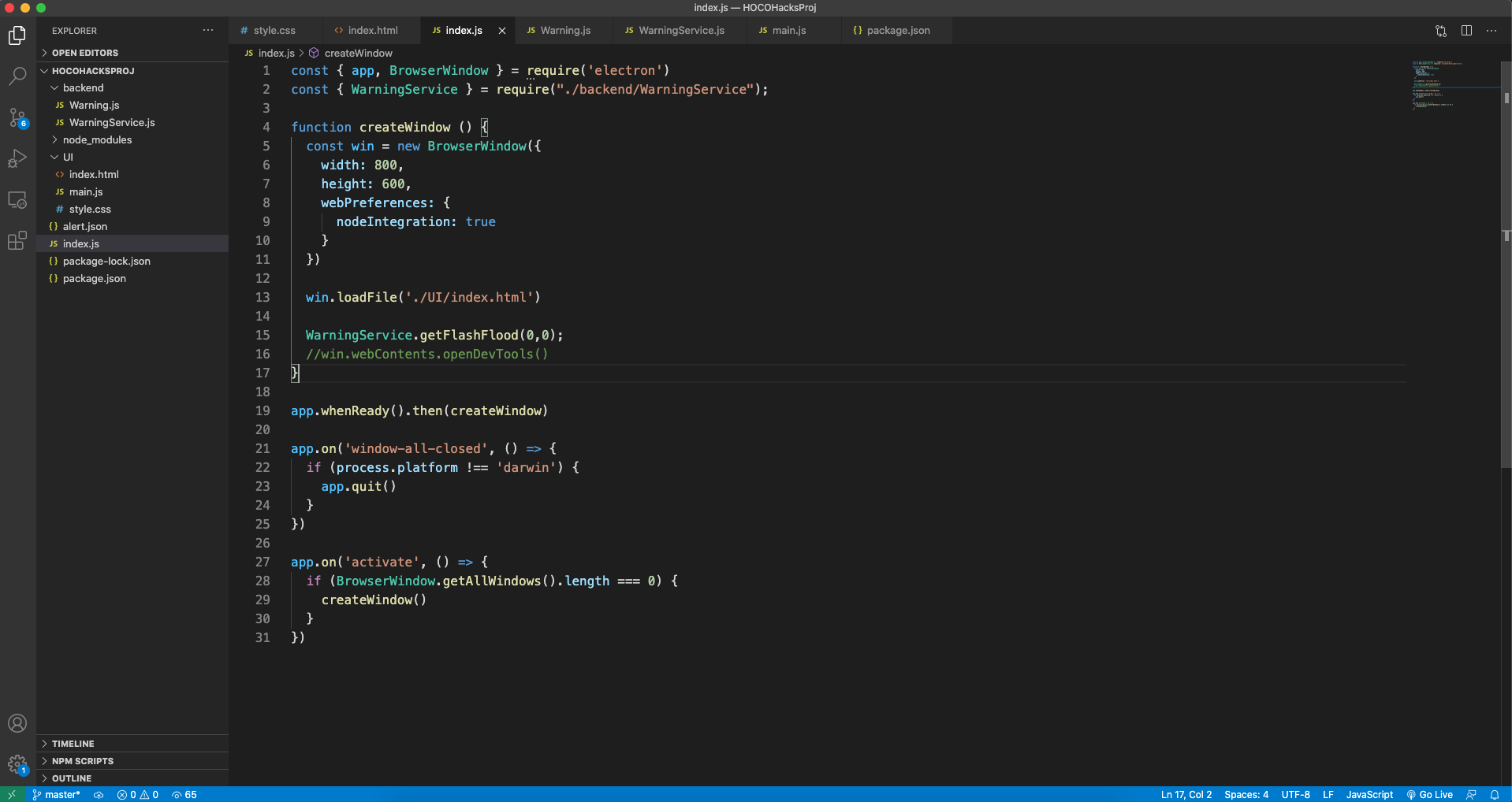
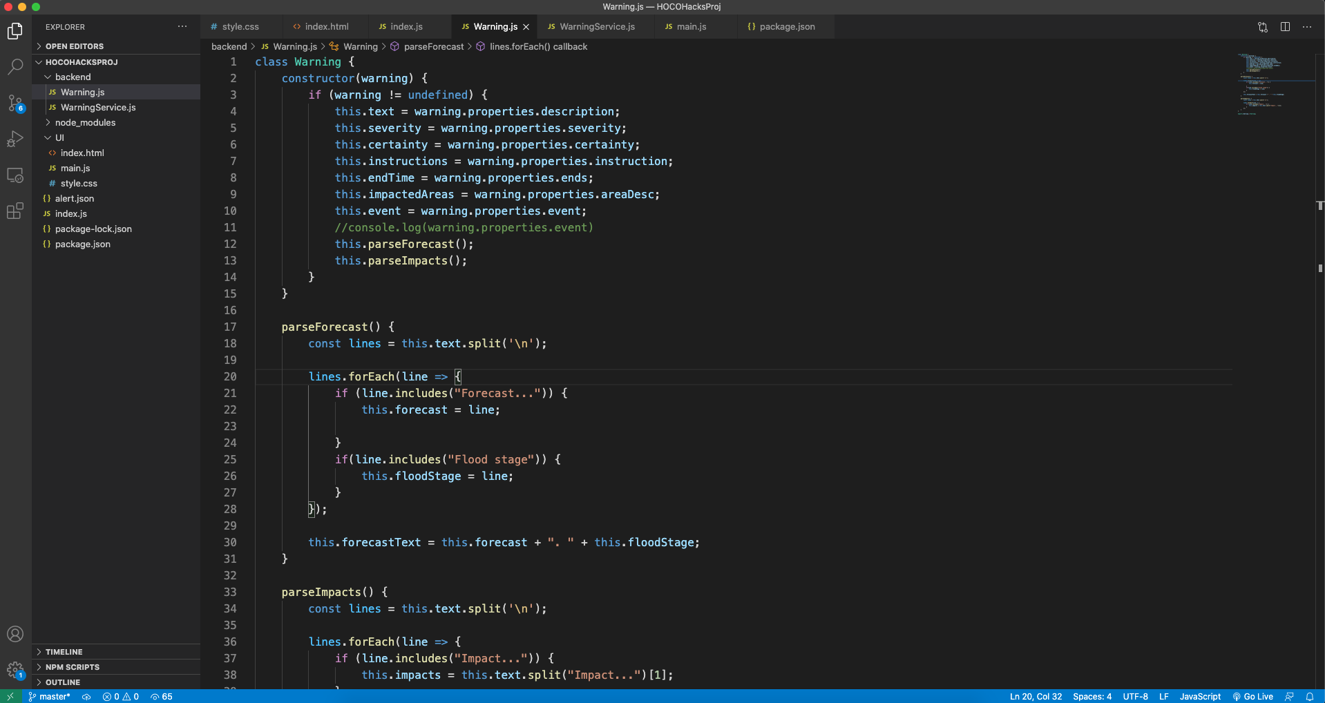
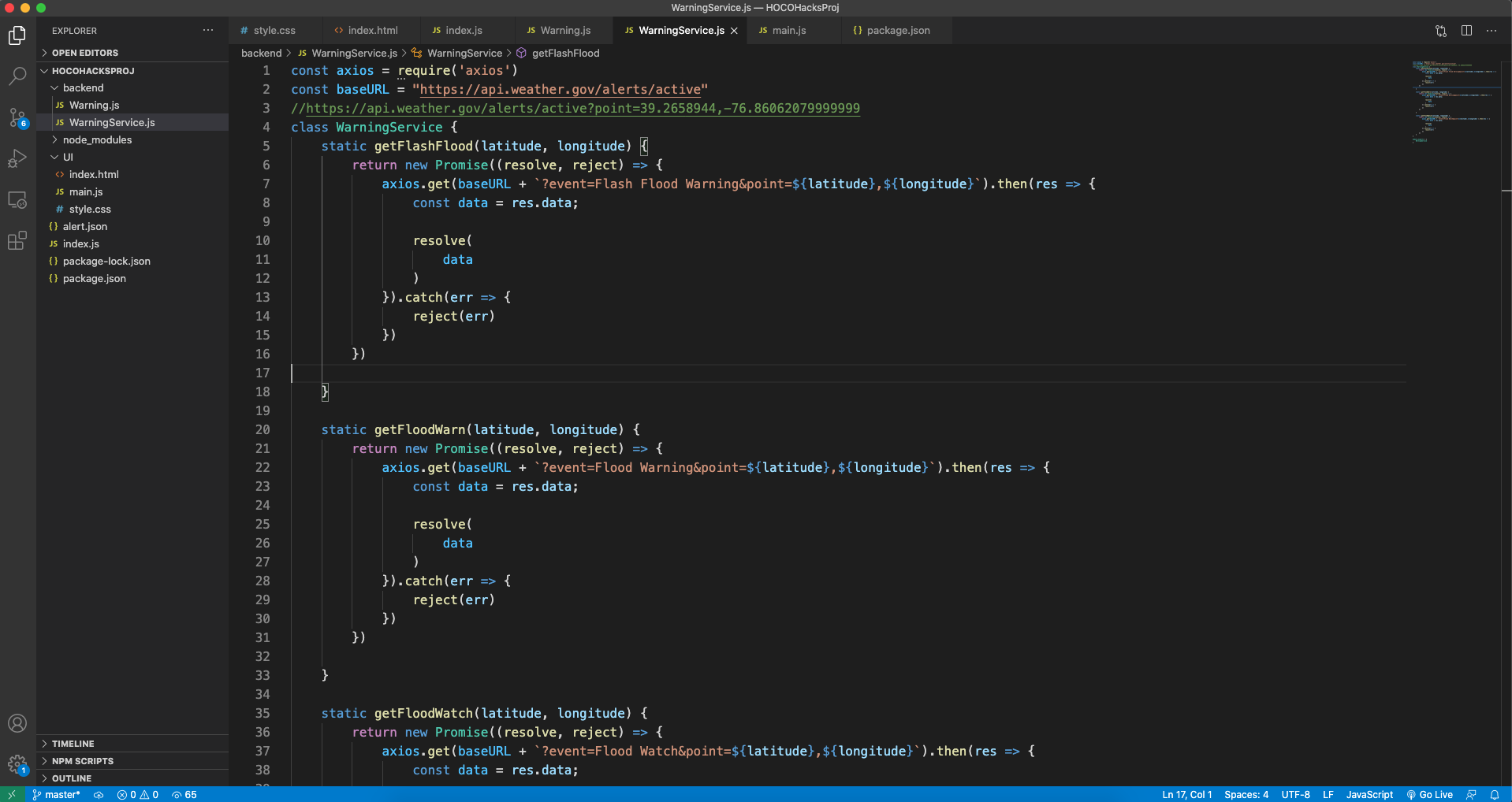
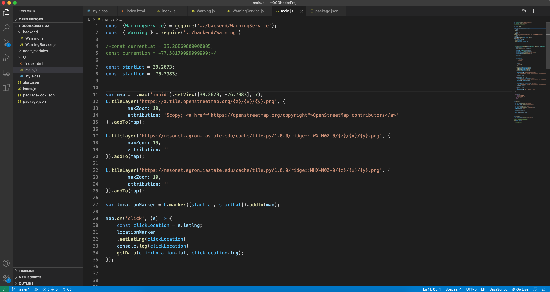
This project was built using electron which allows you to create desktop apps using javascript, HTML, and CSS. The map was created using Leaflet js, a web mapping library. The data was obtained from the National Weather Service API.
Challenges I ran into
One challenge that I ran into was rendering the radar data on the map.
Accomplishments that I'm proud of
I was proud I was able to allow the user to get flooding information from any point on the map using real data.
What I learned
I have learned how to get data from REST APIs. In addition, I have learned to use the leaflet library to render radar data on the map.
What's next for Flood Warn
One potential future feature is alerting users to future flooding. In addition, I would like to incorporate storm reports into the app.

Log in or sign up for Devpost to join the conversation.