-
-
-
-
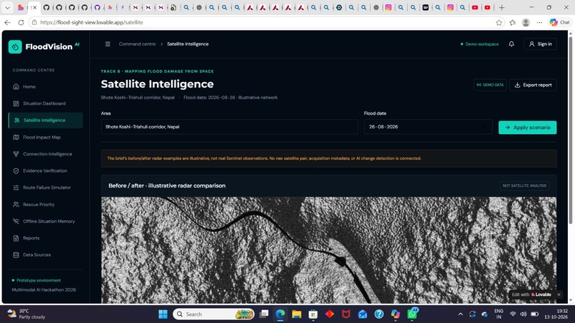
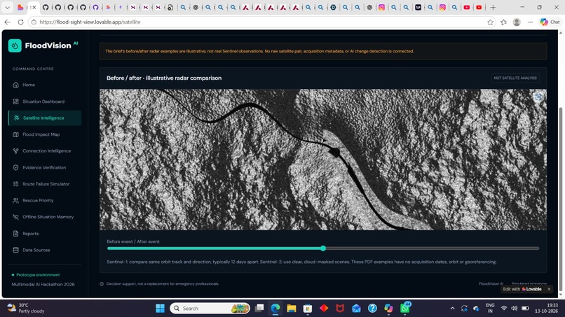
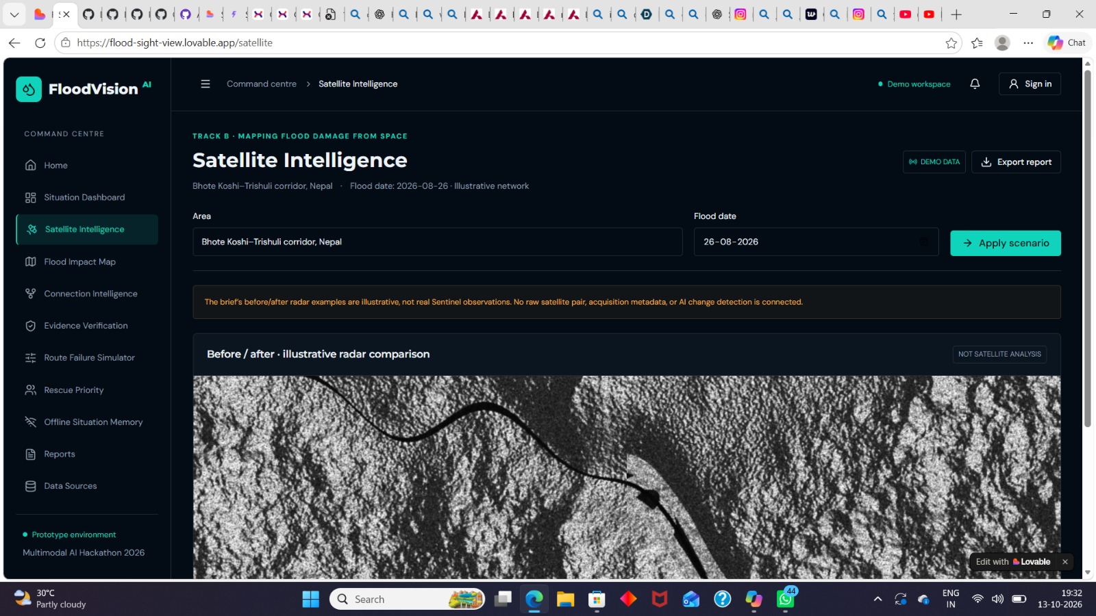
Satellite intelligence dashboard
-
Website home page
-
-
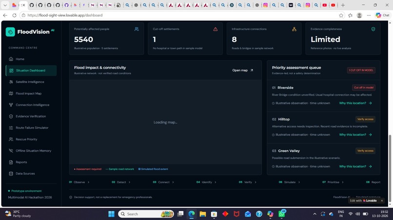
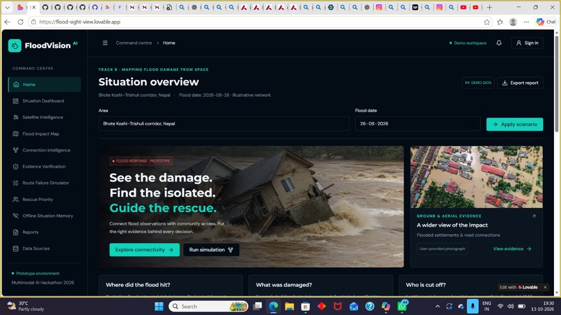
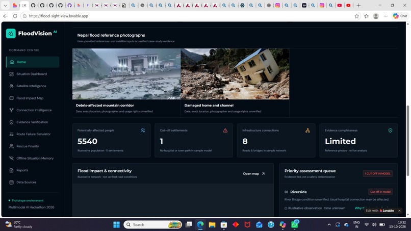
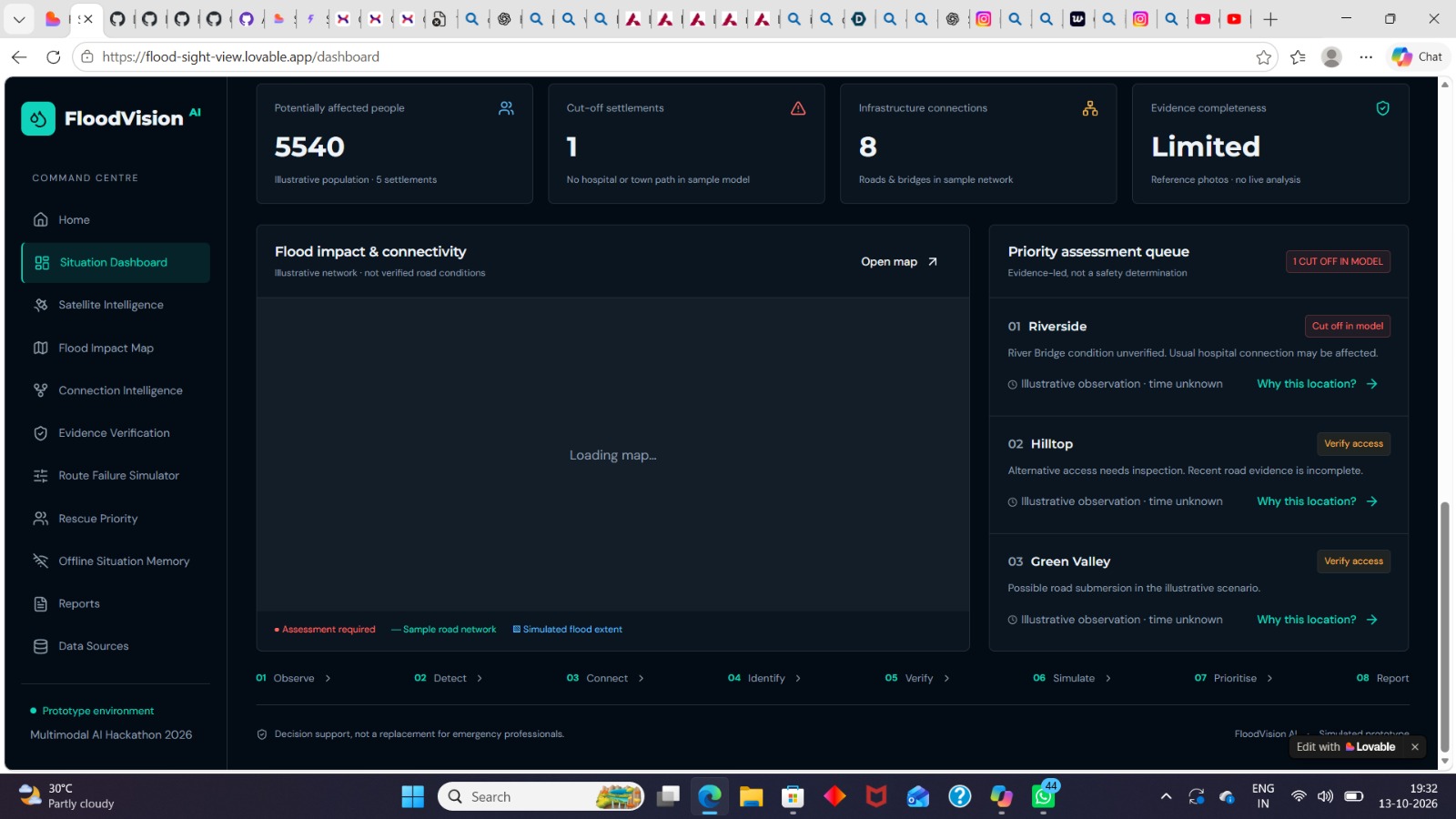
Situation overview dashboard
-
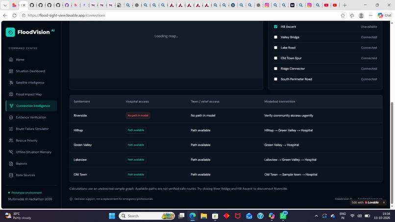
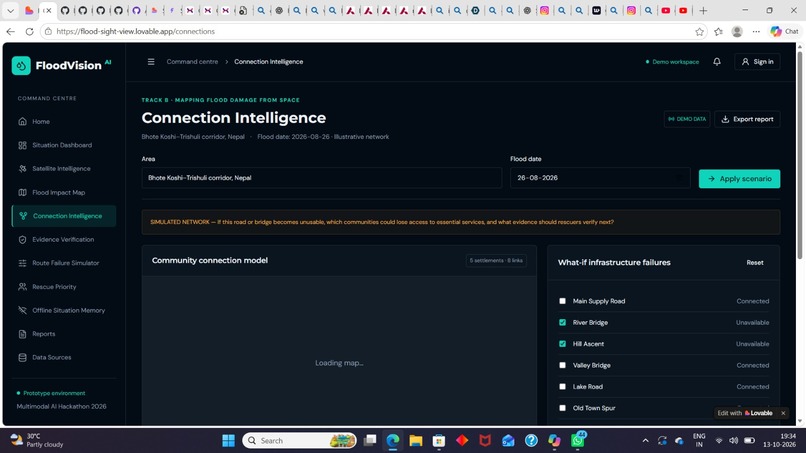
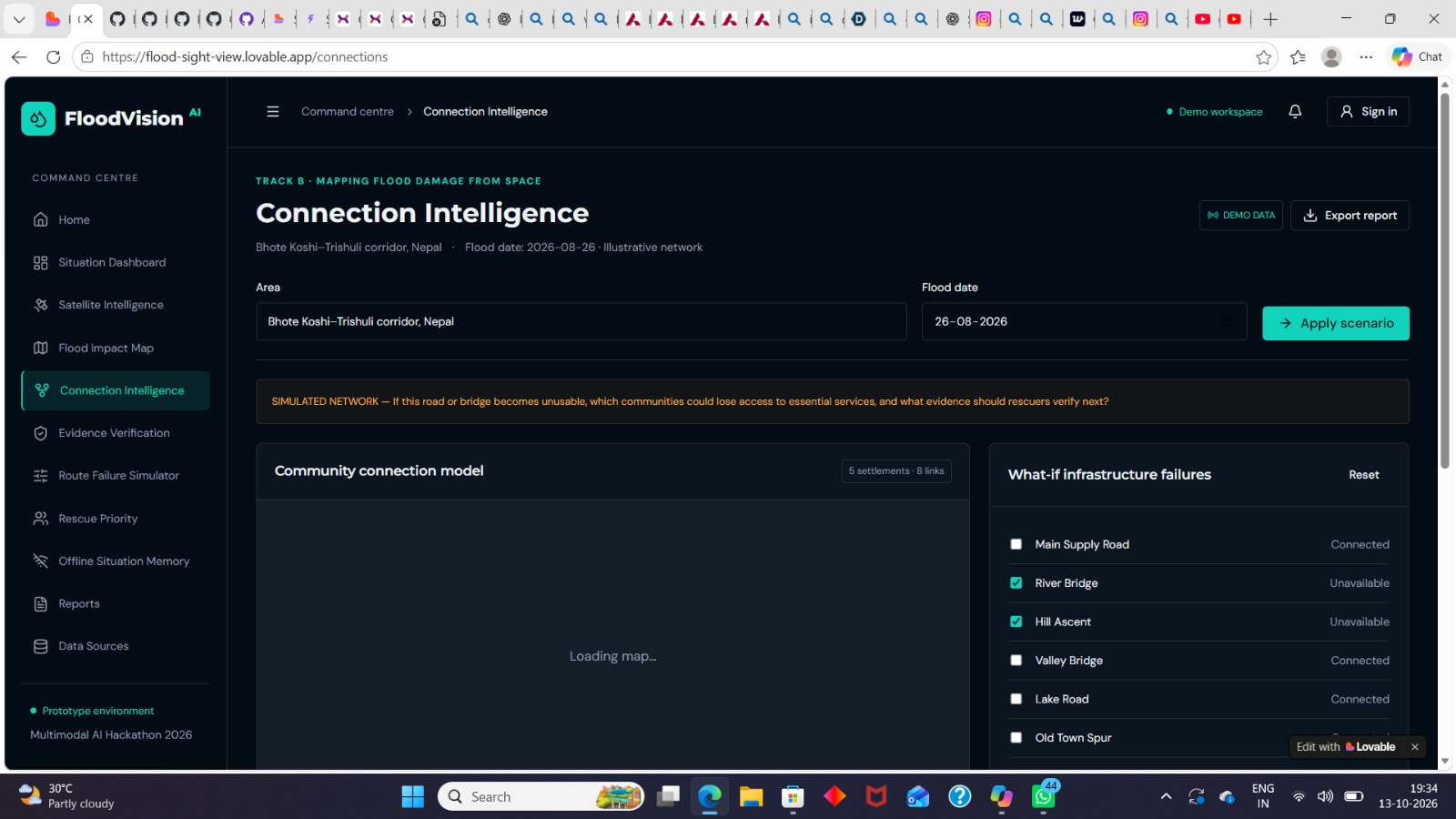
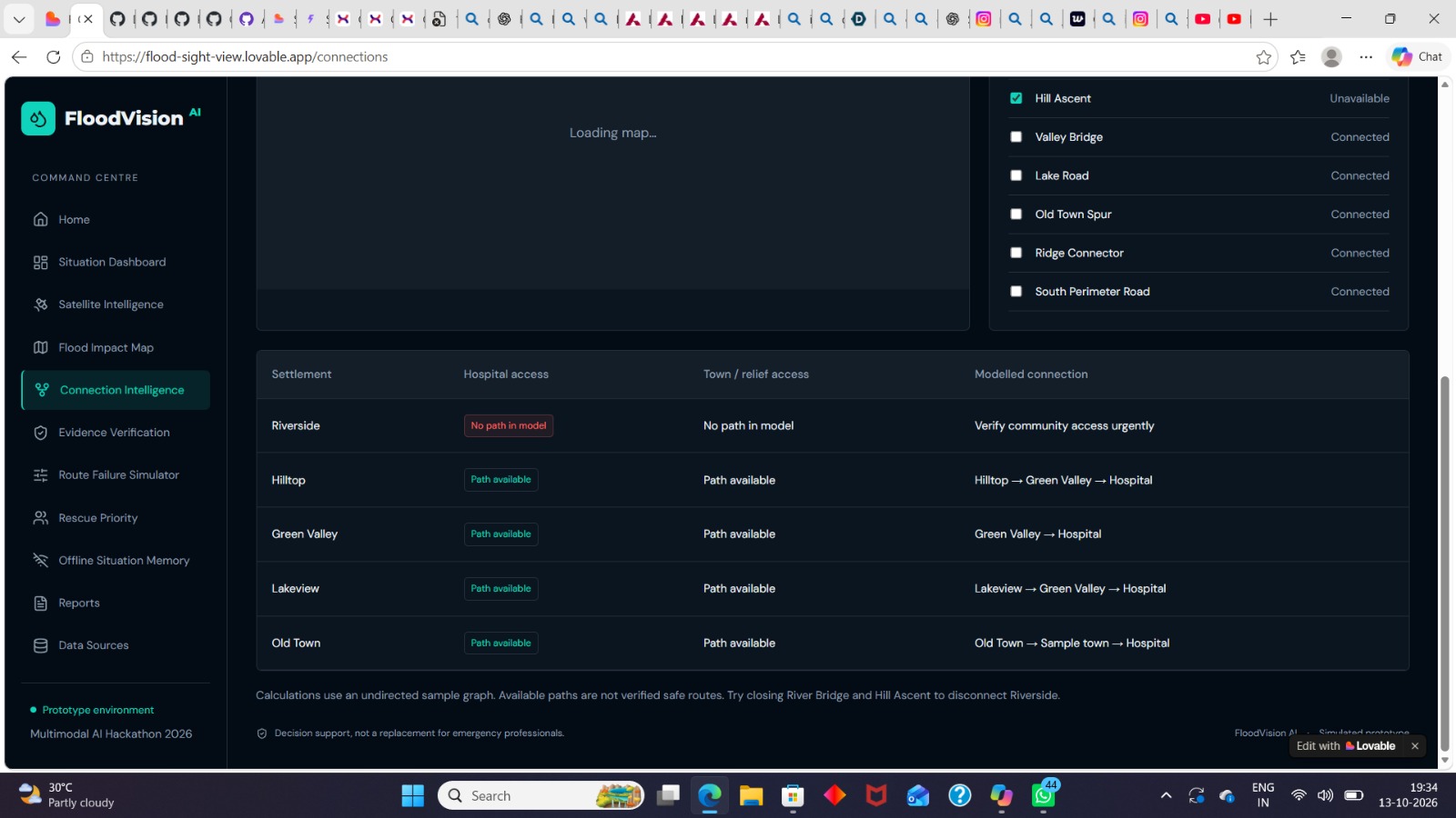
Connection intelligence dashboard
-
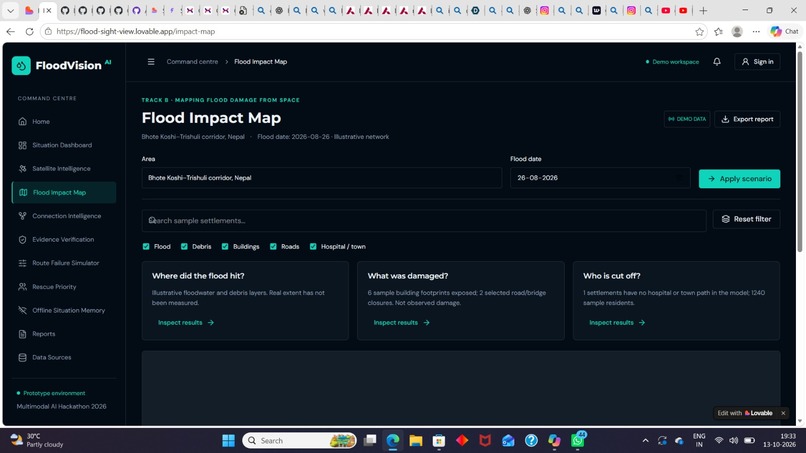
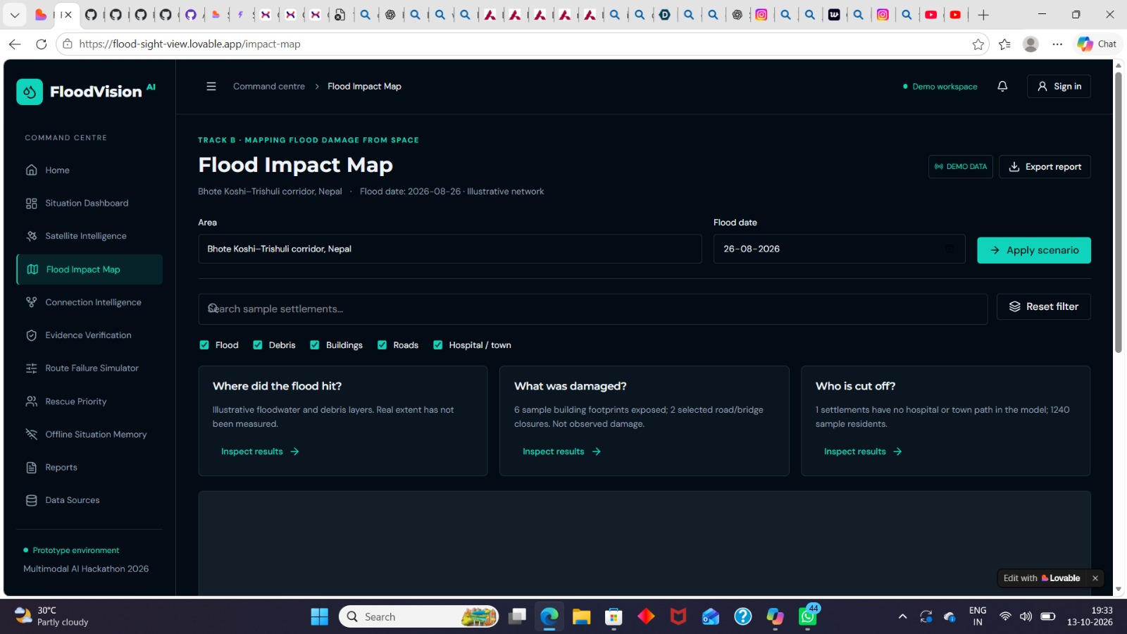
Flood impact map dashboard
-
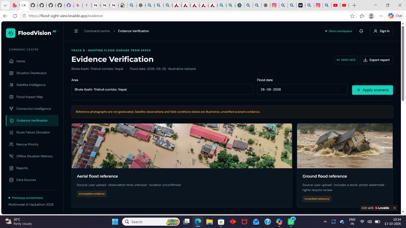
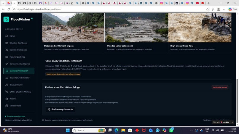
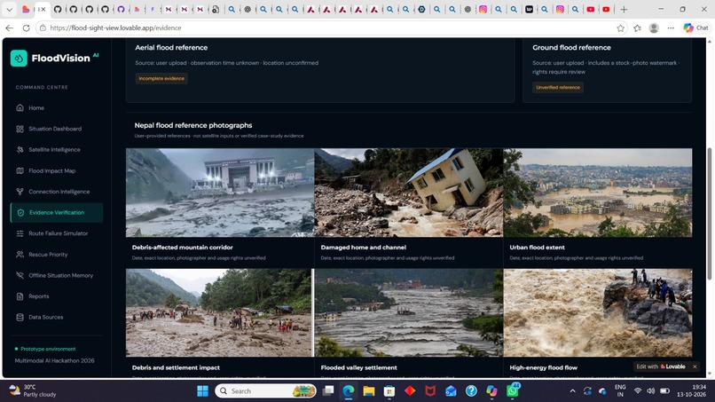
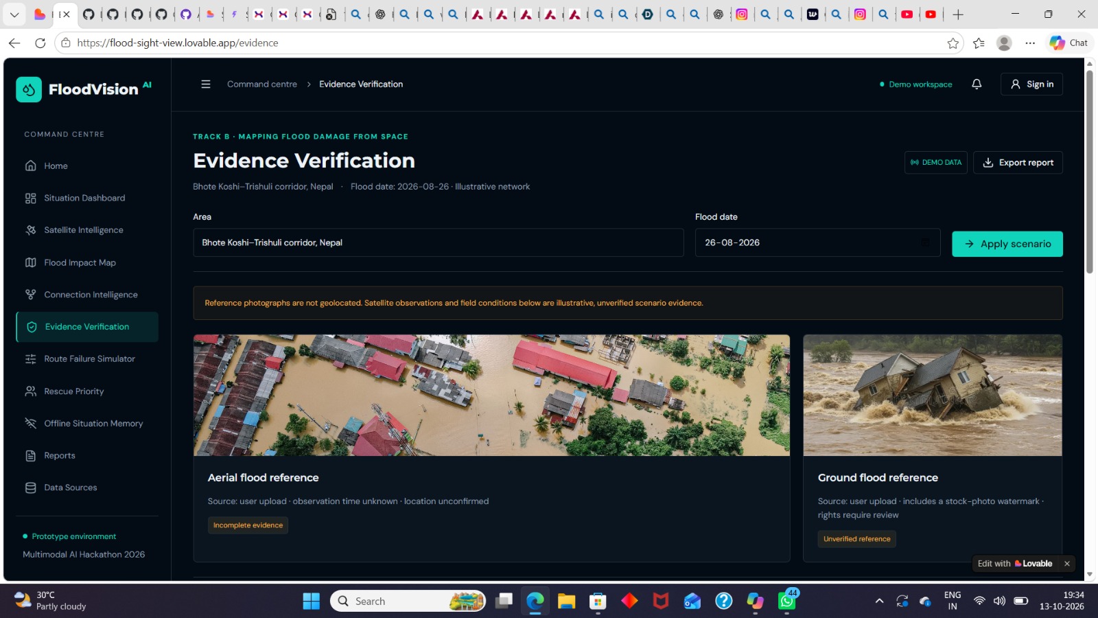
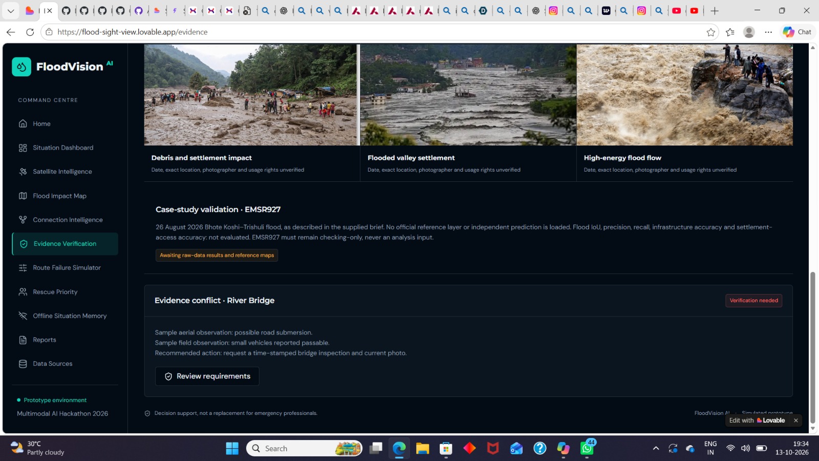
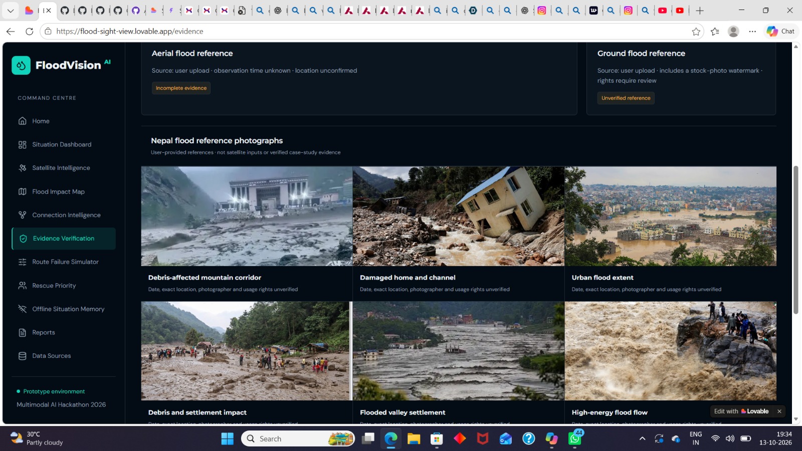
Evidence verification dashboard
-
-
-
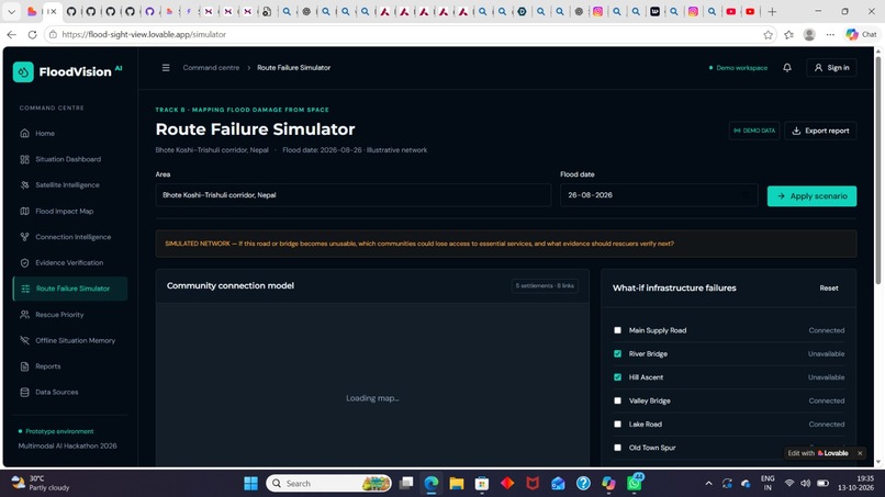
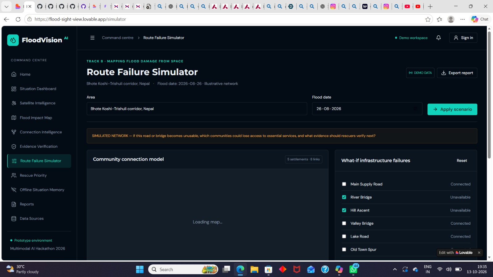
Route failure simulator dashboard
-
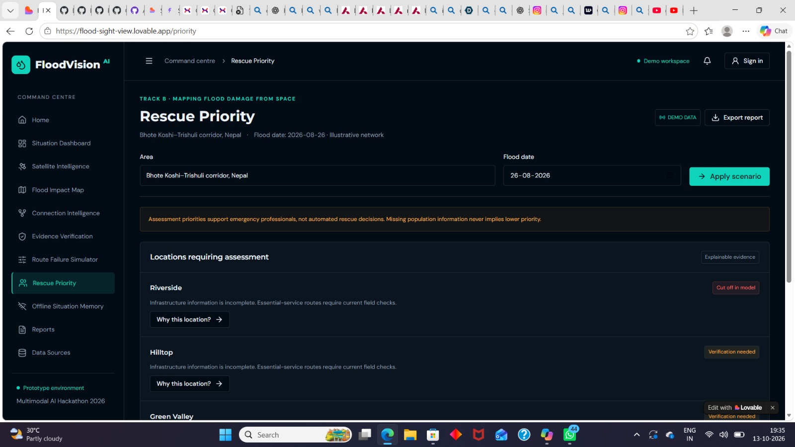
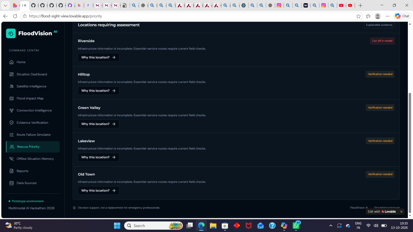
Rescue
-
-
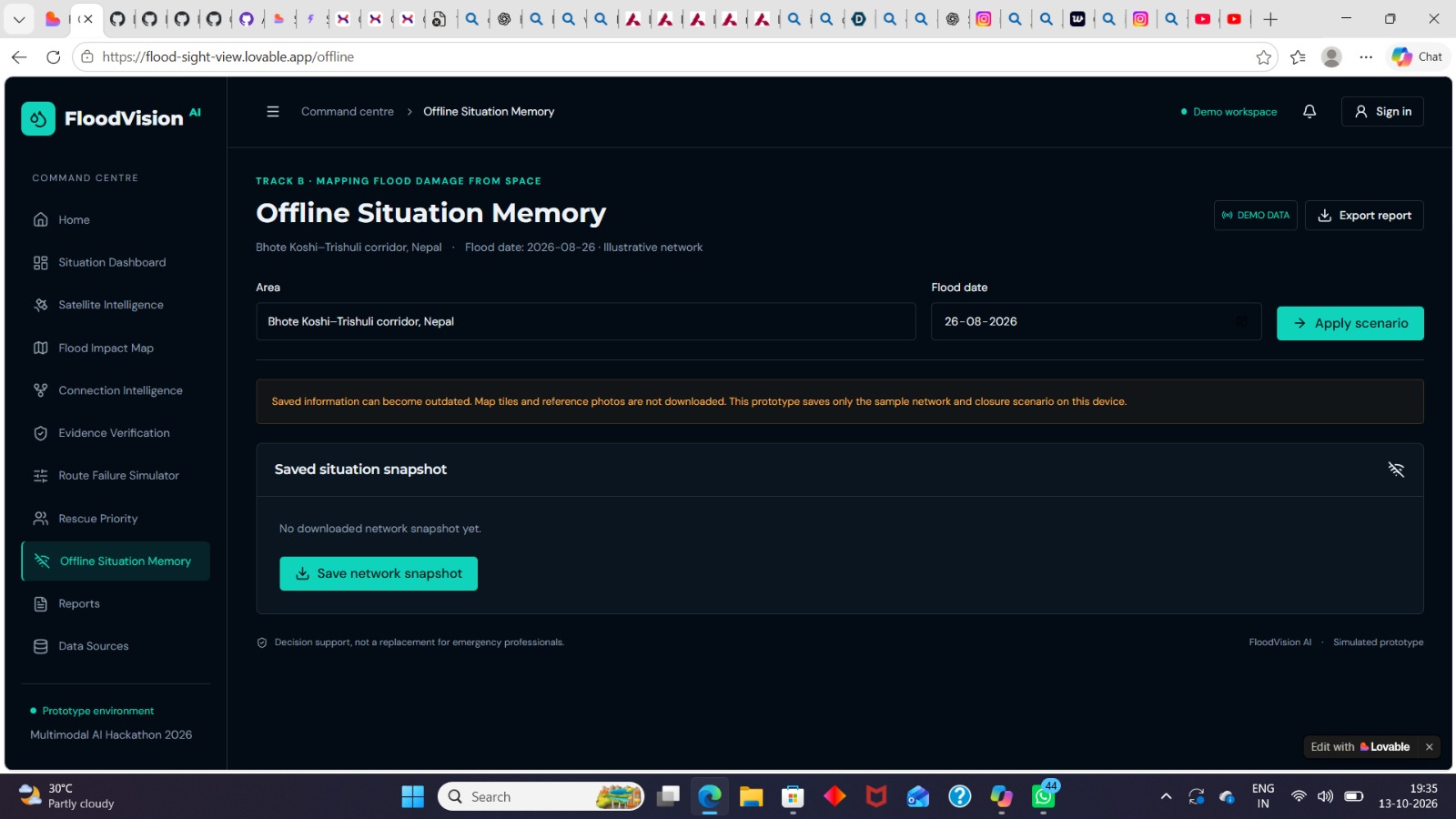
Offline situation
Inspiration
Floods can destroy homes, damage roads and bridges, and isolate entire communities from hospitals and emergency services. During floods, identifying affected areas and understanding which communities may be cut off are important challenges.
Our inspiration for building FloodVision AI came from the need for a smarter way to understand flood impacts and support rescue planning. We wanted to create a platform that connects flood observations, infrastructure information, and community accessibility in one place.
What it does
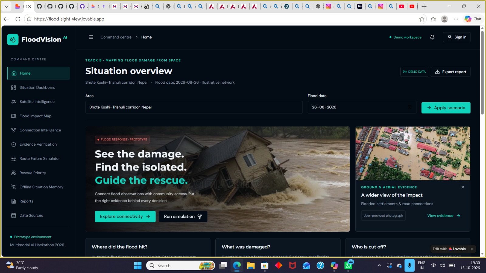
FloodVision AI is a flood impact assessment and emergency response decision-support prototype designed to help users understand potential flood damage and identify communities that may become isolated.
The platform provides:
- Flood Situation Overview: Displays a centralized dashboard for understanding a flood scenario.
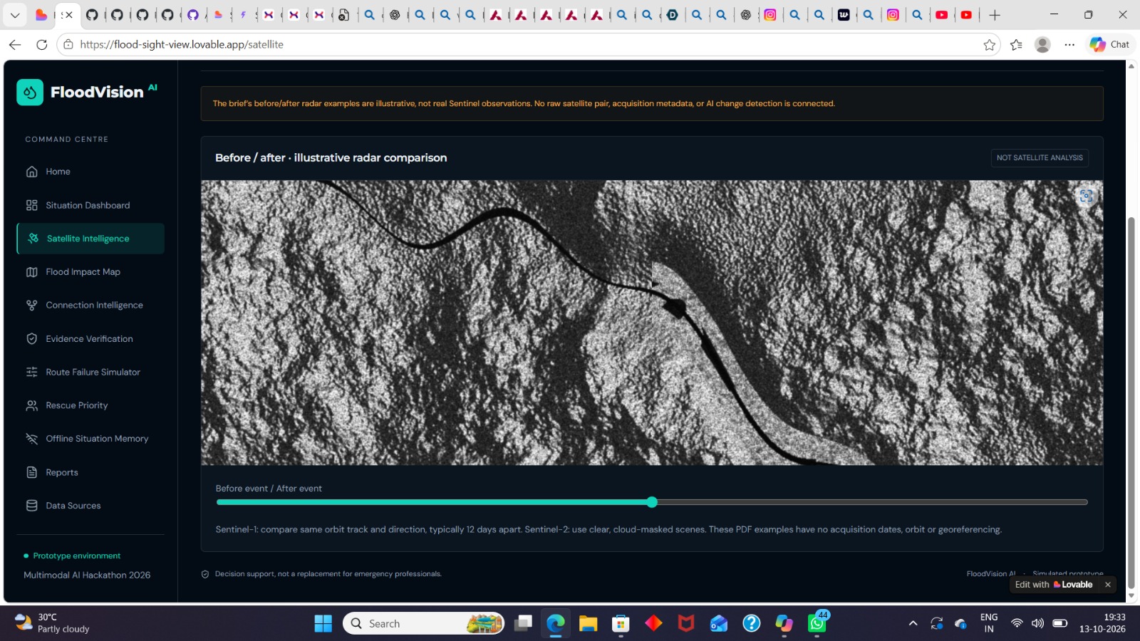
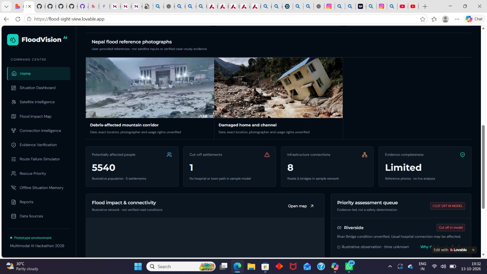
- Ground and Aerial Evidence: Presents reference photographs and visual information to help users examine possible flood impacts.
- Flood Impact Assessment: Shows illustrative flood extent, potentially affected buildings, and possible road or bridge closures.
- Community Connectivity Analysis: Helps identify settlements that may lose access to hospitals or nearby towns.
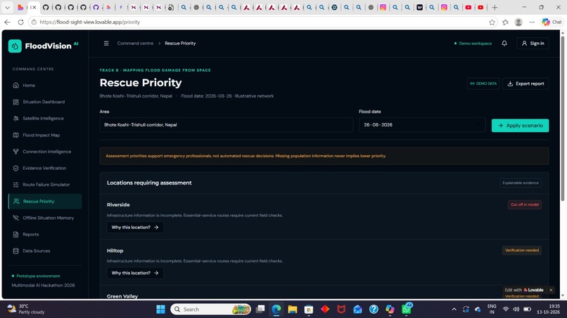
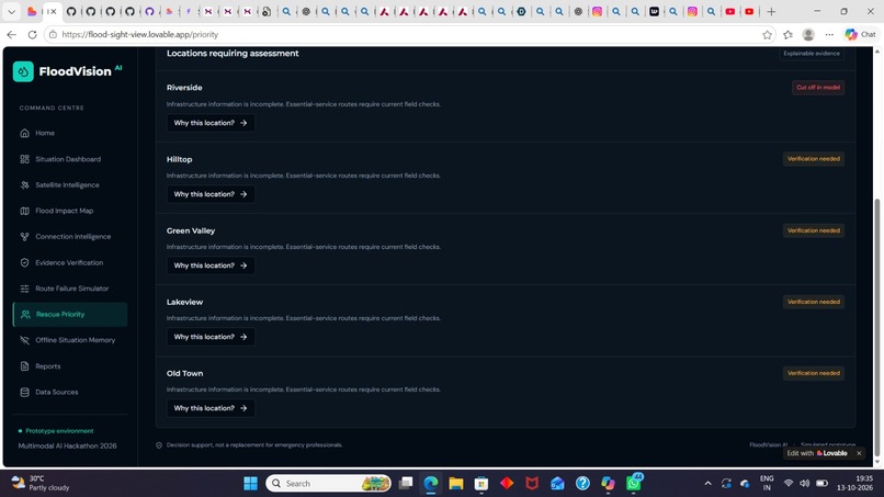
- Priority Assessment Queue: Highlights locations that may require further investigation and verification.
- Flood Scenario Simulation: Allows users to explore illustrative flood scenarios and understand their possible effects on infrastructure and accessibility.
- Report Generation: Provides an option to export a report containing information from the assessment.
How we built it
We developed FloodVision AI as a web-based prototype using Lovable. The platform brings flood scenario information, visual evidence, infrastructure connectivity, and priority assessment into a centralized interface.
The dashboard organizes the workflow into eight stages: Observe, Detect, Connect, Identify, Verify, Simulate, Prioritise, and Report.
This workflow helps organize the assessment process, from examining available evidence to identifying locations that require further verification and preparing a report.
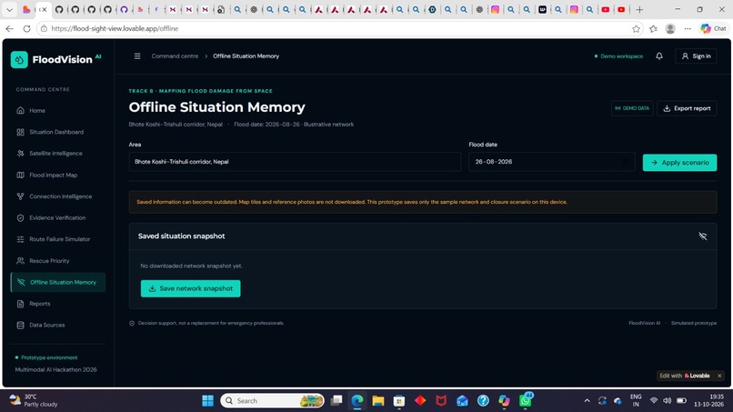
The current prototype uses illustrative flood scenarios, sample infrastructure networks, and reference photographs. Its displayed results are intended to demonstrate the concept rather than represent verified real-world flood measurements.
Challenges we faced
One of our main challenges was presenting different types of flood-related information in a clear and understandable way. We needed to organize potential infrastructure damage, community accessibility, and assessment priorities without overwhelming users.
Another challenge was distinguishing illustrative information from verified observations. We designed the platform to communicate the limitations of its sample data and emphasize the need for field verification before making real emergency decisions.
We also focused on making the interface straightforward so that users can understand the assessment workflow.
What we learned
Through this project, we learned how to transform a real-world problem into a structured digital solution. We gained experience in designing dashboards, organizing information, developing a web-based prototype, and thinking about how technology can support disaster response.
We also learned that reliable evidence, clear communication, and human verification are essential when developing technology for emergency situations.
What's next for FloodVision AI
Our future goal is to develop FloodVision AI into a more data-driven flood assessment platform by integrating reliable satellite imagery, geospatial datasets, updated road network information, and verified flood observations.
We also aim to explore AI-based flood detection, automated damage assessment, improved connectivity analysis, multilingual accessibility, and more detailed reporting.
Our vision is to help emergency response teams identify areas that need attention, understand potential access disruptions, and make better-informed decisions during flood emergencies.
FloodVision AI is a decision-support prototype. Its current illustrative outputs are not verified flood measurements and should not be used as the sole basis for emergency response decisions.
Built With
- analysisdata
- artificial
- css
- decision
- disaster
- emergency
- flood
- geospatial
- html
- javascript
- support
- web


Log in or sign up for Devpost to join the conversation.