-
-
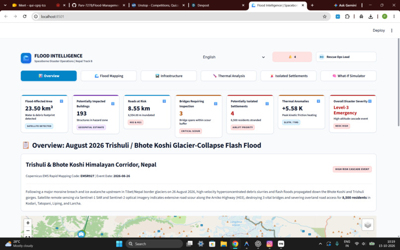
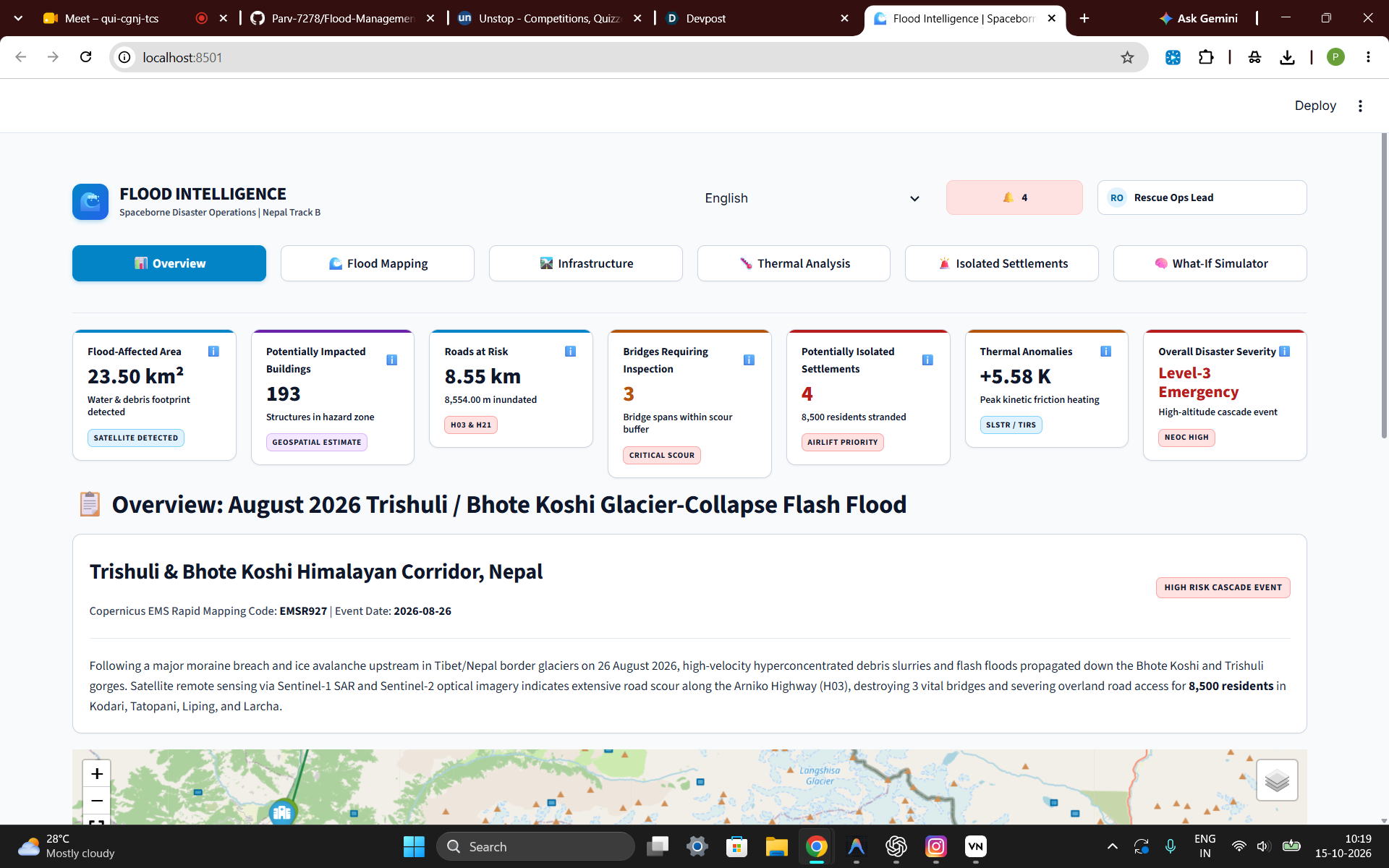
Overview
-
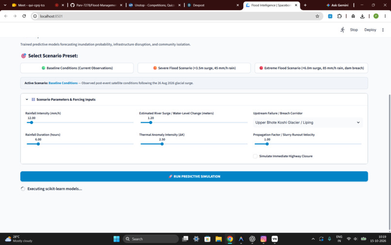
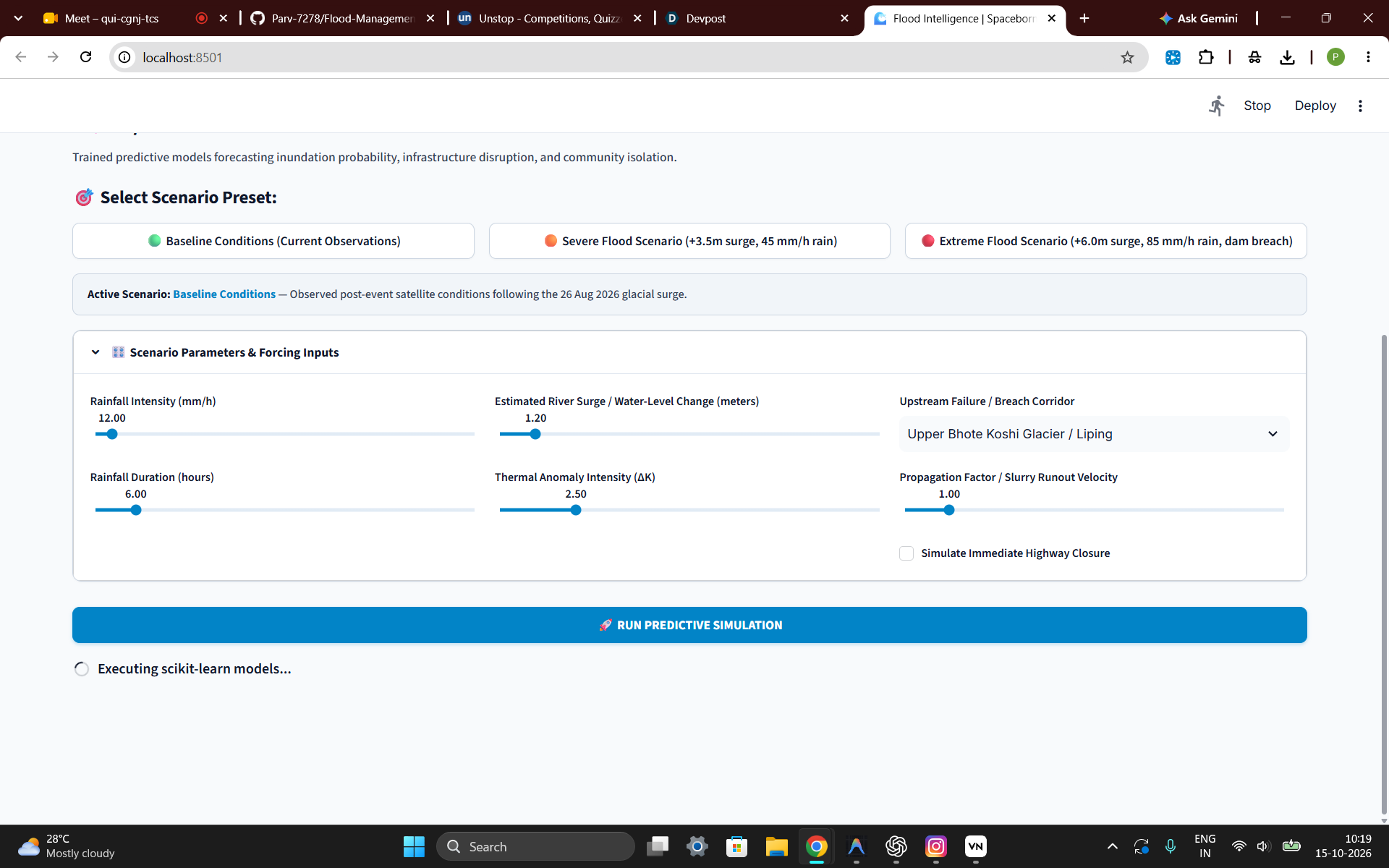
What-if scenarios
-
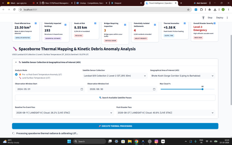
Thermal mapping
-
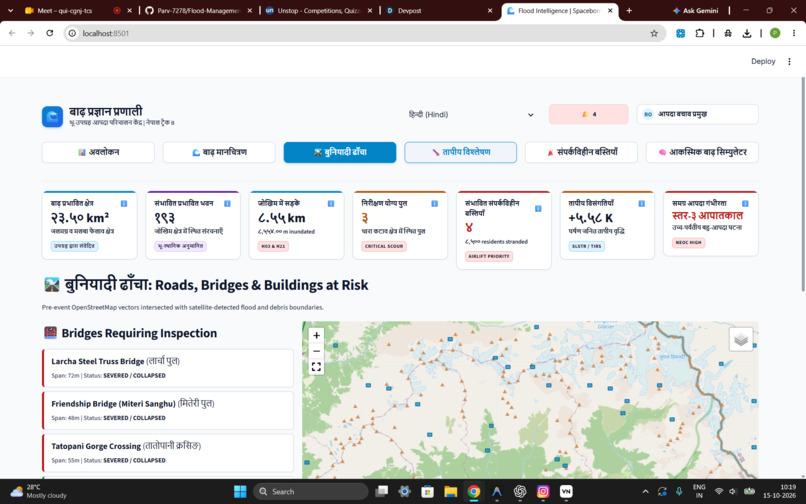
Hindi
-
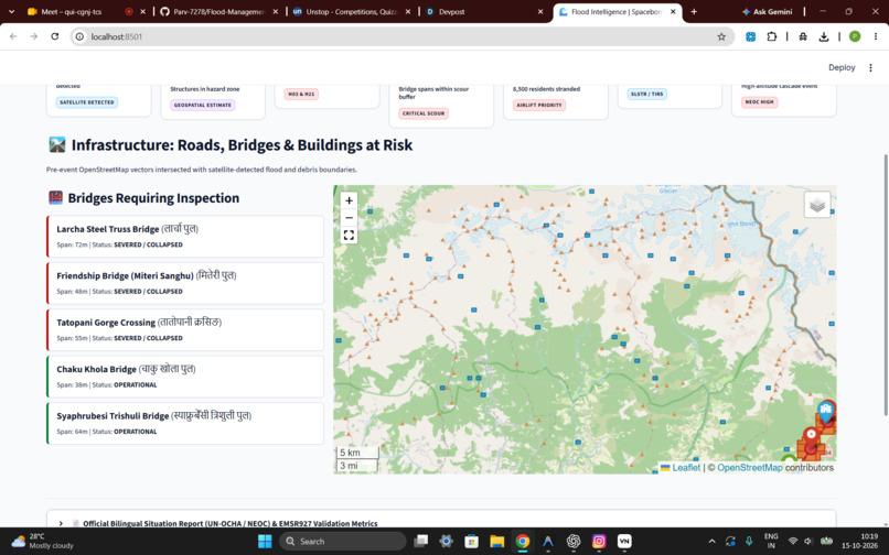
Infrastructure
-
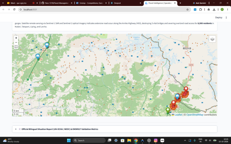
Map
Inspiration
Floods can destroy infrastructure, disrupt transportation, and isolate entire communities. We wanted to build a platform that uses satellite imagery and AI to help emergency responders understand flood impacts and prioritise vulnerable areas, especially when ground access is limited.
How we built it
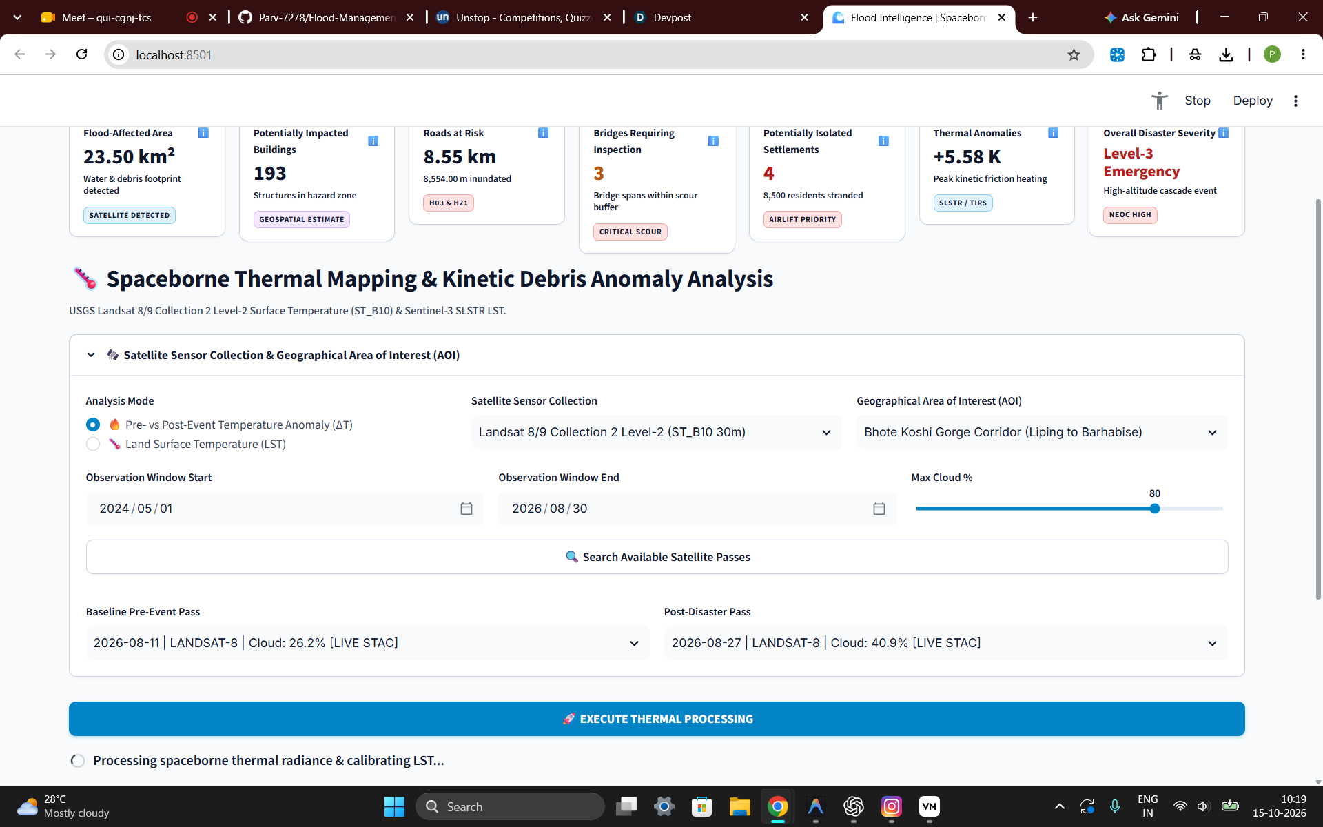
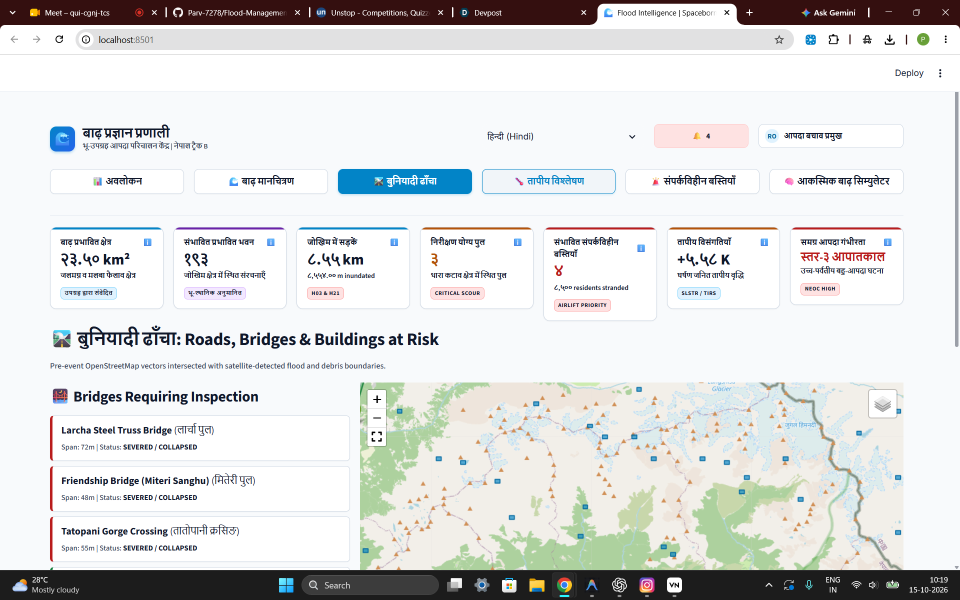
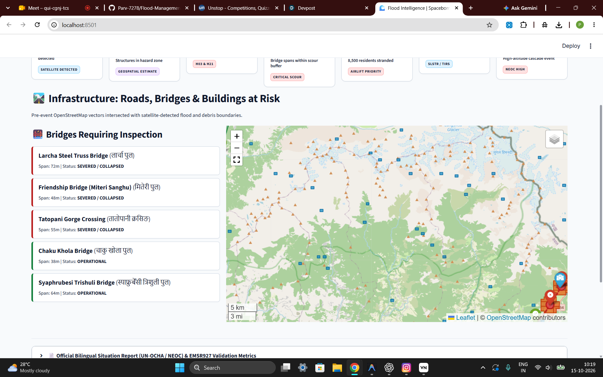
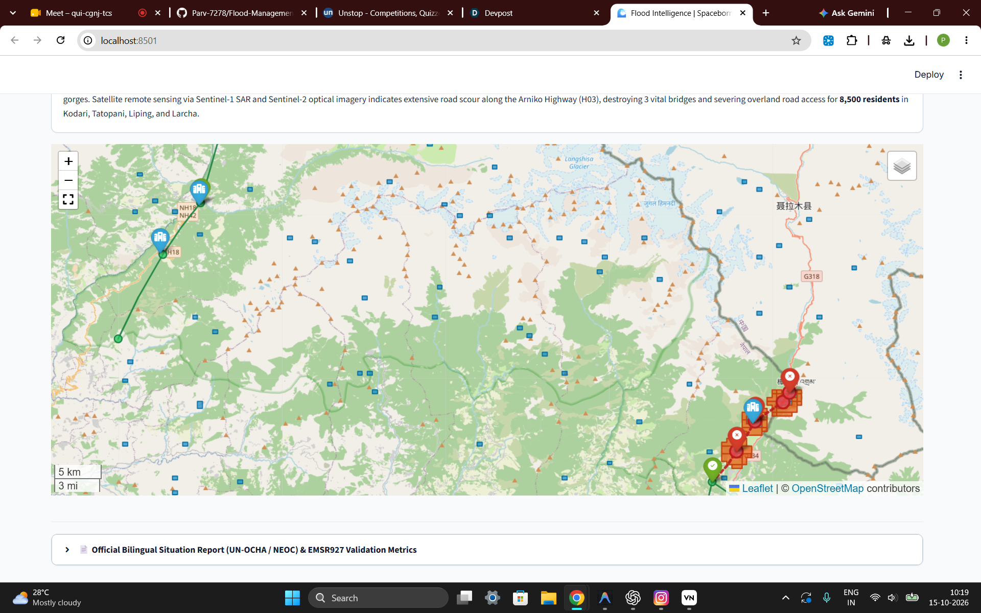
We developed a web-based platform integrating Sentinel-1 radar imagery, Sentinel-2 optical imagery, thermal observations, elevation data, and OpenStreetMap infrastructure. It combines flood mapping, infrastructure exposure analysis, road-connectivity assessment, an AI-powered What-If Simulator, and an AI Situation-Report Copilot supporting English and Hindi.
Challenges we ran into
Working with satellite datasets presented challenges involving data availability, cloud cover, coordinate systems, raster processing, and differences in spatial resolution. Integrating multiple data sources while maintaining reliable analysis and an intuitive interface was another challenge.
Accomplishments that we're proud of
We brought satellite-based flood assessment, thermal analysis, infrastructure mapping, connectivity assessment, and AI-assisted reporting together in one platform. Our solution aims to make complex geospatial information more accessible and useful for disaster-response planning.
What we learned
We learned how geospatial technologies, satellite observations, and machine learning can support disaster management. We also recognised the importance of data quality, model validation, and distinguishing potential damage from confirmed damage.
What's next for Flood Intelligence
We aim to improve flood segmentation and impact prediction, strengthen real-time satellite-data integration, enhance thermal analysis, and incorporate more reliable flood forecasts. We also plan to validate predictions against ground observations and improve the platform's usefulness for emergency-response teams.

Log in or sign up for Devpost to join the conversation.