Inspiration
A team member shared a story of a Quant Trading firm using satellite data to analyze the size of dust at oil rigs to predict the amount of oil produced. The outcome turned out to be different to the reported figures and they set up a trade waiting for the numbers being corrected and making money.
What it does
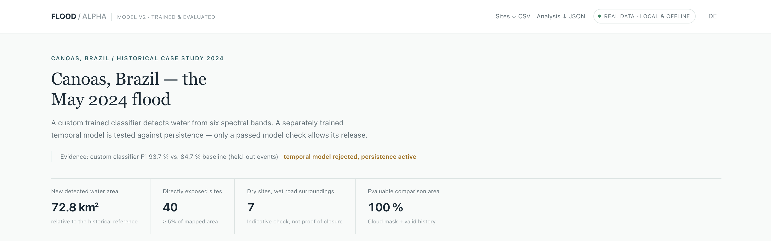
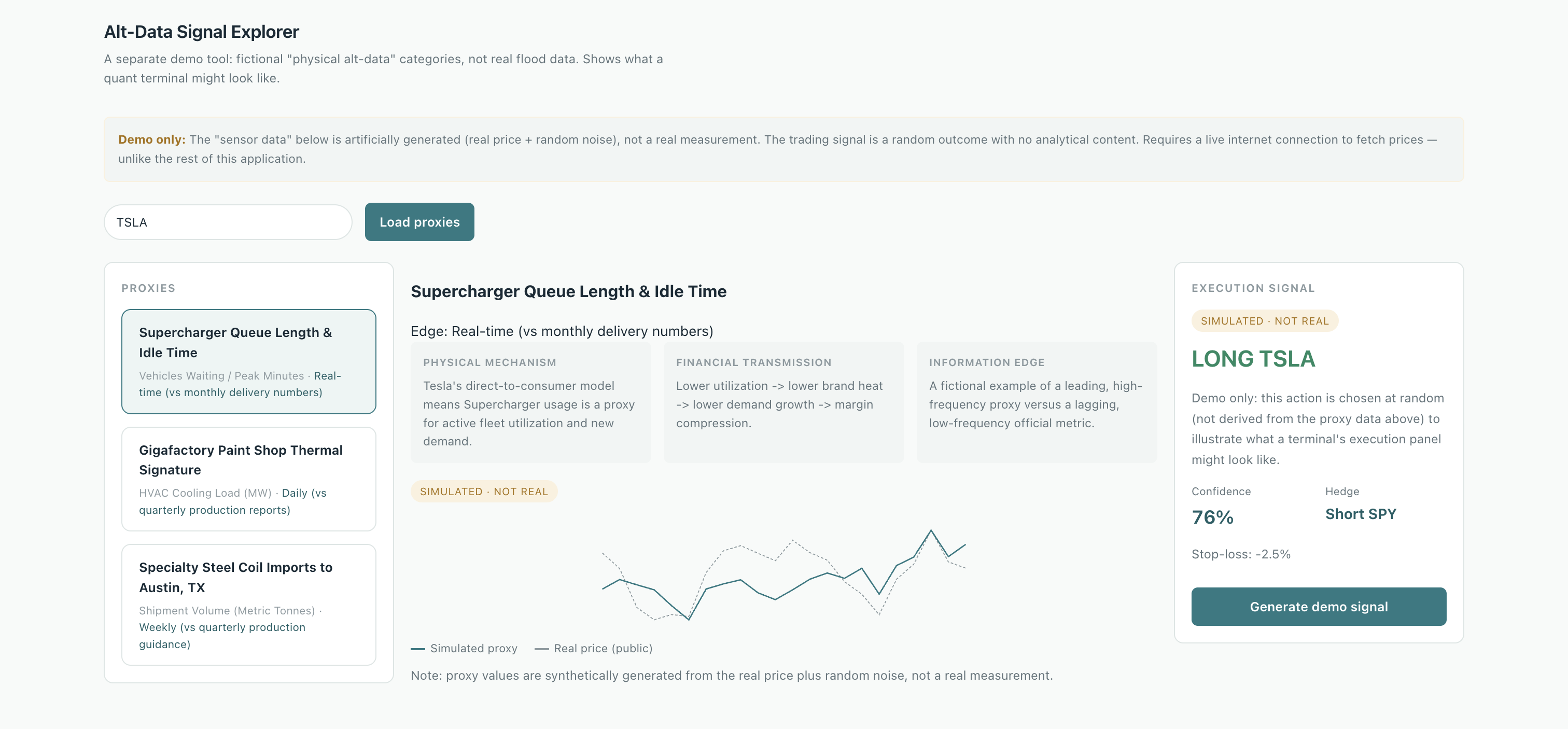
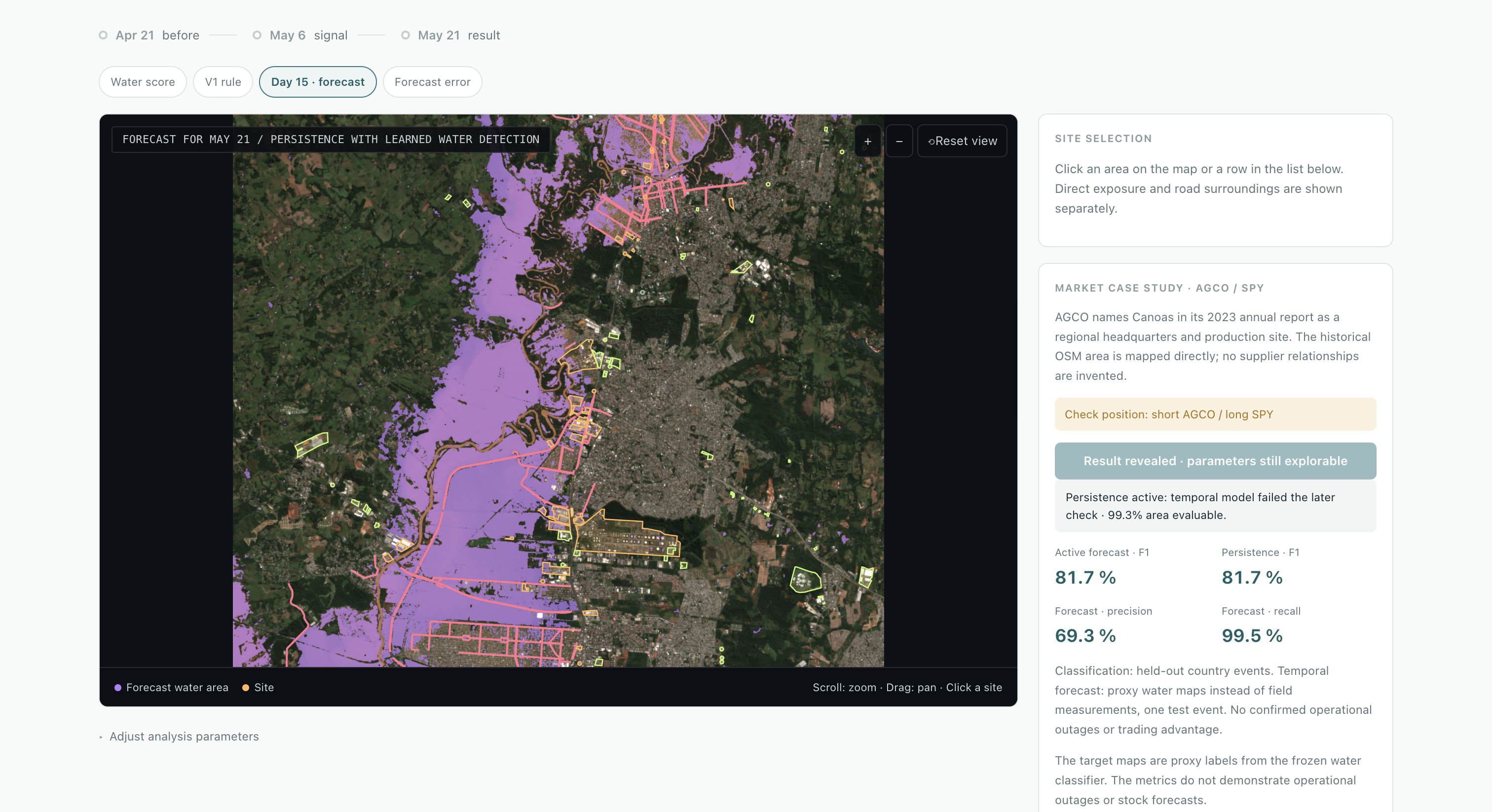
It combines unconventional data with traditional financial figures from different resources. Different data sources give a more accurate prediction of market movements as it combines different perspectives. Unconventional data can potential allow traders to be aware of price movements ahead of the time. For example, Floodings are shocks, that cannot just be predicted based on past financial data. Satellite images can inform firms before the occurrence of flooding, which can reduce or cut loses as a result of unexpected events.
How we built it
Firstly, we brainstormed a lot of ideas. After discussions, we settled down on this one. Then, We splitted the project into several parts and each member worked on a different part with an AI model to speed up tedious coding process. We also discussed occasionally to make sure everyone's on the same page, collect suggestions and ensure the vision of the final project was still agreed upon. Lastly, we synthesized all the parts and recorded a demonstration.
Challenges we ran into
Data availability, correctness of predictions, initial disagreement within the group, keeping the focus, since this platform has more potential than just financial predictions, for example aiding first aid personnel.
Accomplishments that we're proud of
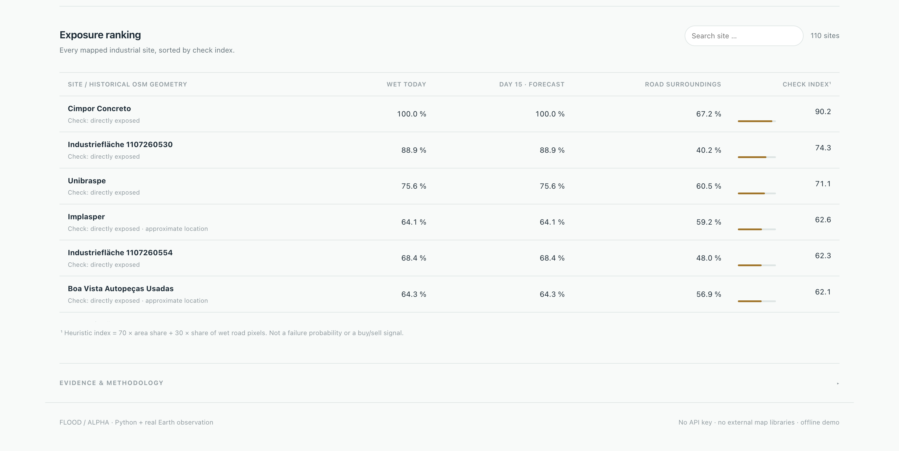
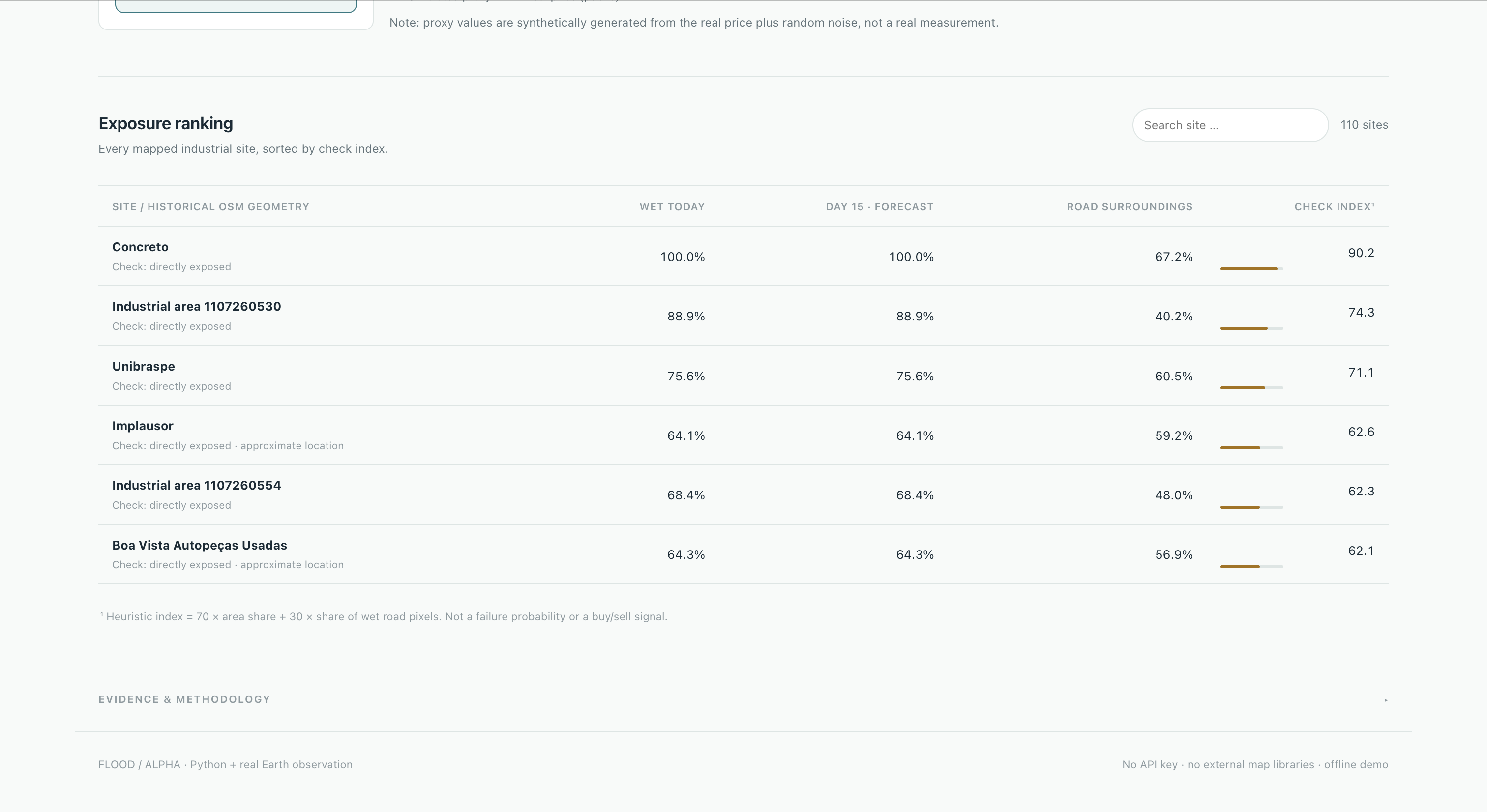
An algorithm that can systematically identify unconventional data that can give insight into market movements,, The recognition of flooded areas and the identification of industrial areas, being able to assess the affected companies.
What we learned
Teamwork, negotiation, time management, and how to work effectively with AI
What's next for Flood Alpha
The satellite images are already real, the next step would be to use real data that is connected to this satellite image conclusions to have a fully working real prediction. Further it has to be generalized to arbitrary flooding and especially the prediction of flooding in advance will be important
Built With
- chatgpt
- claude
- python
- qwen


