Inspiration One day my dad and I were driving and we ran over a pothole. He got a flat tire, and him and I had to wait three hours at the tire store. I thought about how nothing was there to warn us and how someone should've done something about it. When I started brainstorming, I looked back at that memory and realized I could help my dad and the rest of my community while integrating advanced technology such as AI and aerial footage with this new project.
What it does
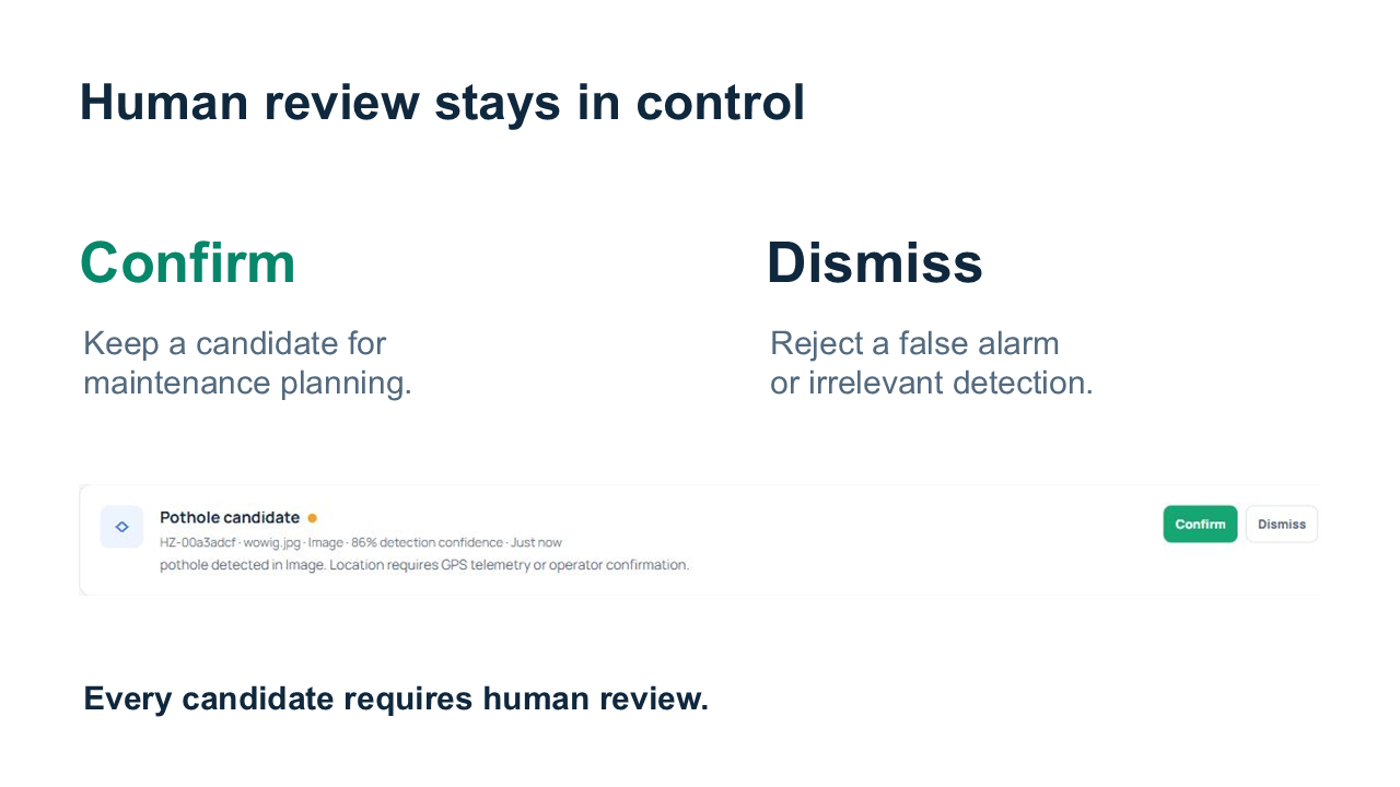
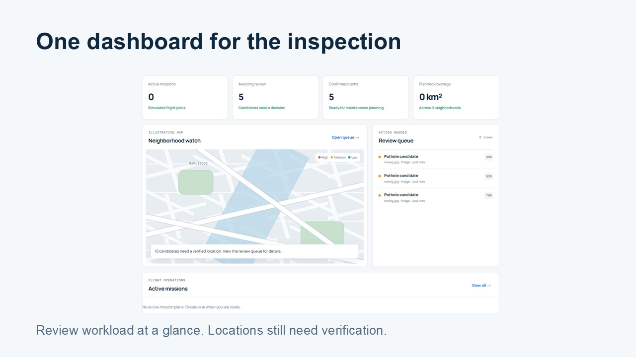
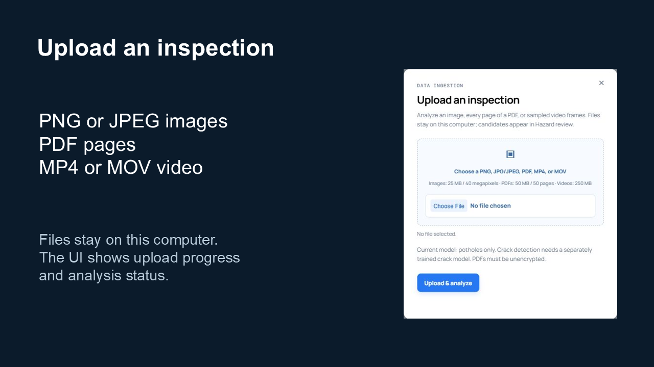
FixMyBlock helps neighborhood teams review inspection footage for potholes. Users can upload videos, images, or PDFs, then review detection candidates in a dashboard. Each candidate includes its source and model confidence, and users can confirm or dismiss it. Our long-term vision is to connect this workflow to drone inspections and verified location data.
How we built it
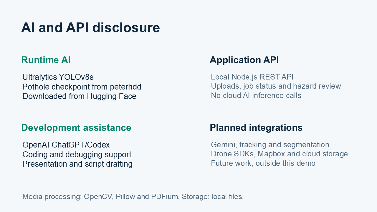
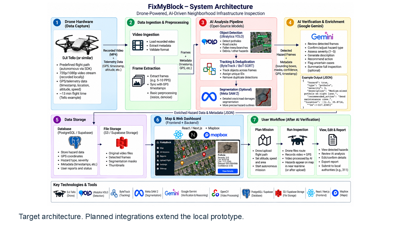
We built the dashboard with HTML, CSS, and JavaScript, backed by a local Node.js REST API. A Python worker uses OpenCV to sample video frames, Pillow to process images, and PDFium to render PDF pages. Pothole detection runs locally using Ultralytics YOLOv8s with a published checkpoint from peterhdd on Hugging Face. We used OpenAI ChatGPT/Codex for coding assistance, debugging, and presentation drafting. Gemini appears in our proposed architecture, but it is not currently connected to the application.
Challenges we ran into
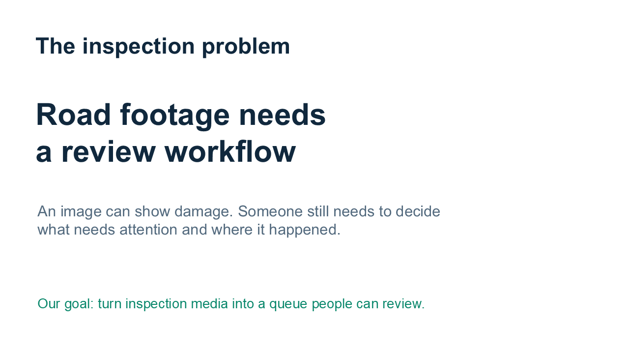
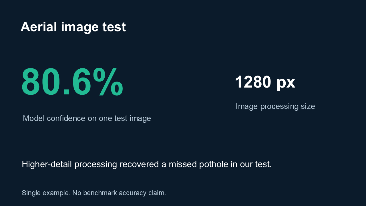
An early approach treated ordinary objects, such as cars and bicycles, as possible obstructions. We narrowed the pipeline to trained road-defect classes and integrated a pothole-specific model. Small potholes in aerial images were another challenge. Increasing the image-processing resolution recovered a previously missed candidate without lowering the confidence threshold. We also added upload progress and clearer analysis messages so users could distinguish uploading from processing. We also experienced problems with flying the drone in a way so that it could take proper footage.
Accomplishments that we're proud of
We turned our architecture concept into a runnable prototype with real local pothole detection. The app supports multiple file formats, maintains a human review queue, and saves review decisions between sessions. We’re also proud of making the prototype’s limits visible: mission planning is simulated, map locations require verification, and detections remain candidates until someone reviews them.
What we learned
Recognizing an object does not automatically make it a hazard. Model selection, image resolution, and scene context all affect detection results. We also learned that model confidence is not the same as accuracy. A successful example demonstrates progress, but broader testing is necessary before making reliability claims. Clear feedback and human review matter as much as the detection pipeline.
What's next for FixMyBlock
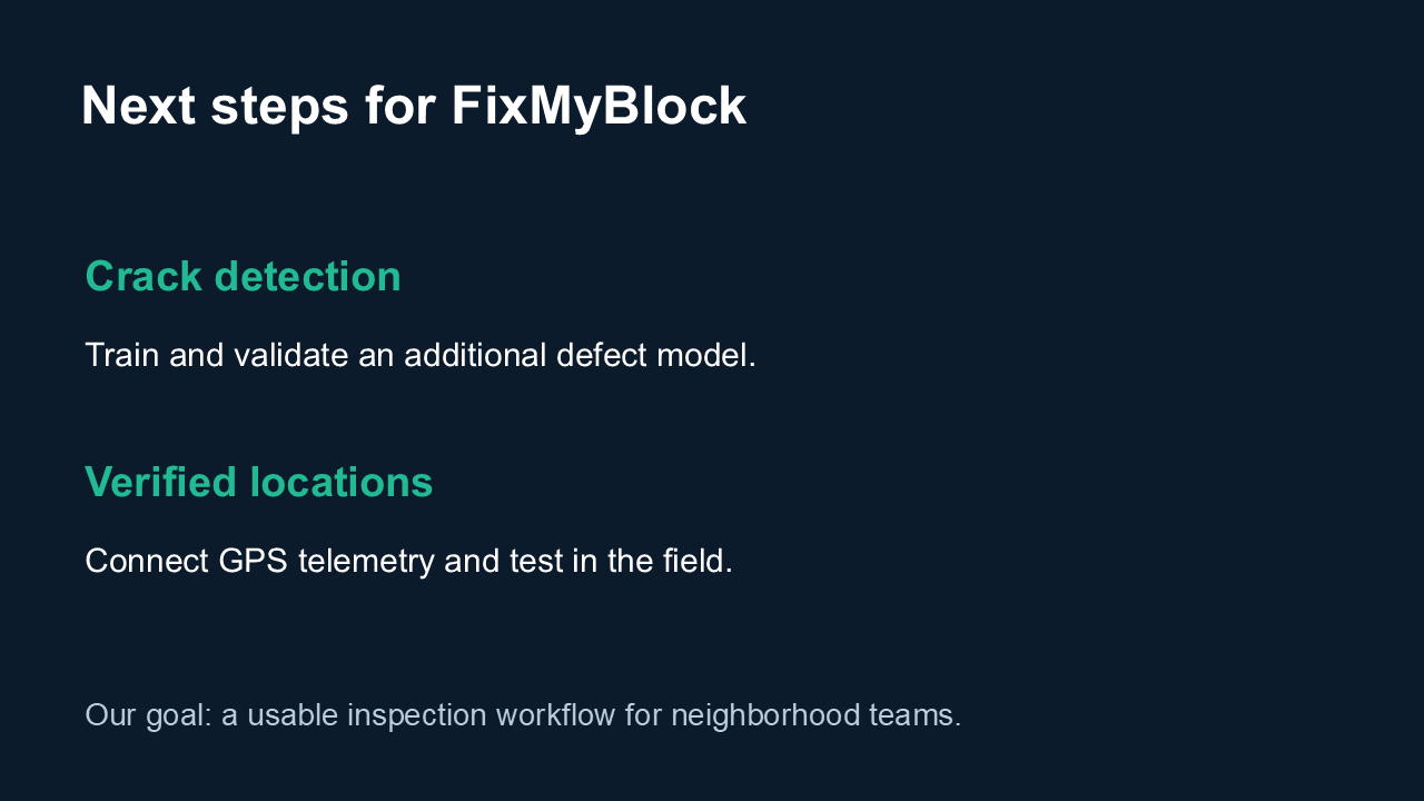
We want to add a validated crack-detection model, connect detections to GPS telemetry, and test the system across more neighborhoods and recording conditions. Our roadmap also includes drone integration, stronger tracking to reduce duplicate detections, and cloud storage. We plan to explore Gemini-assisted verification while keeping people responsible for final decisions.
Built With
- ai
