-
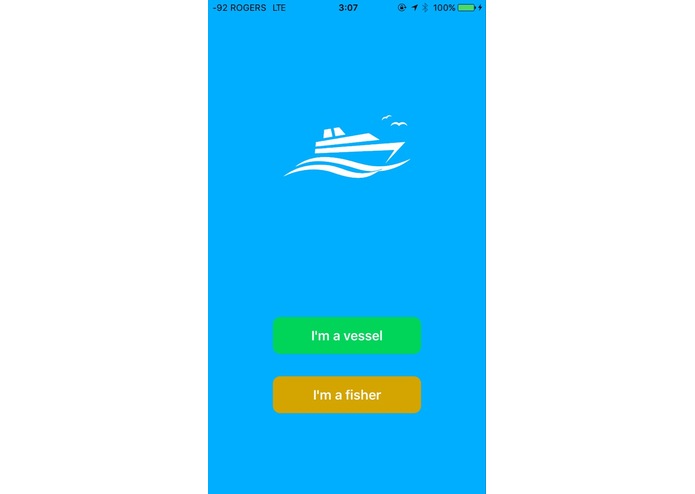
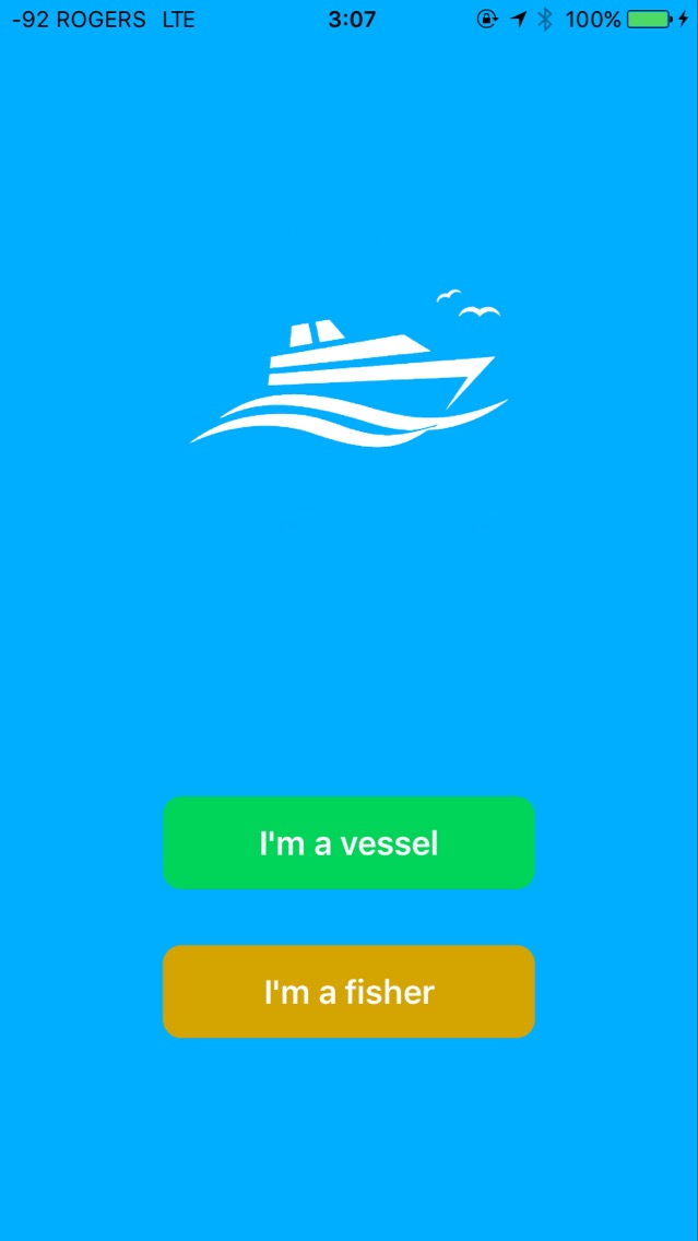
iOS launch page
-
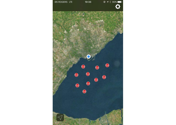
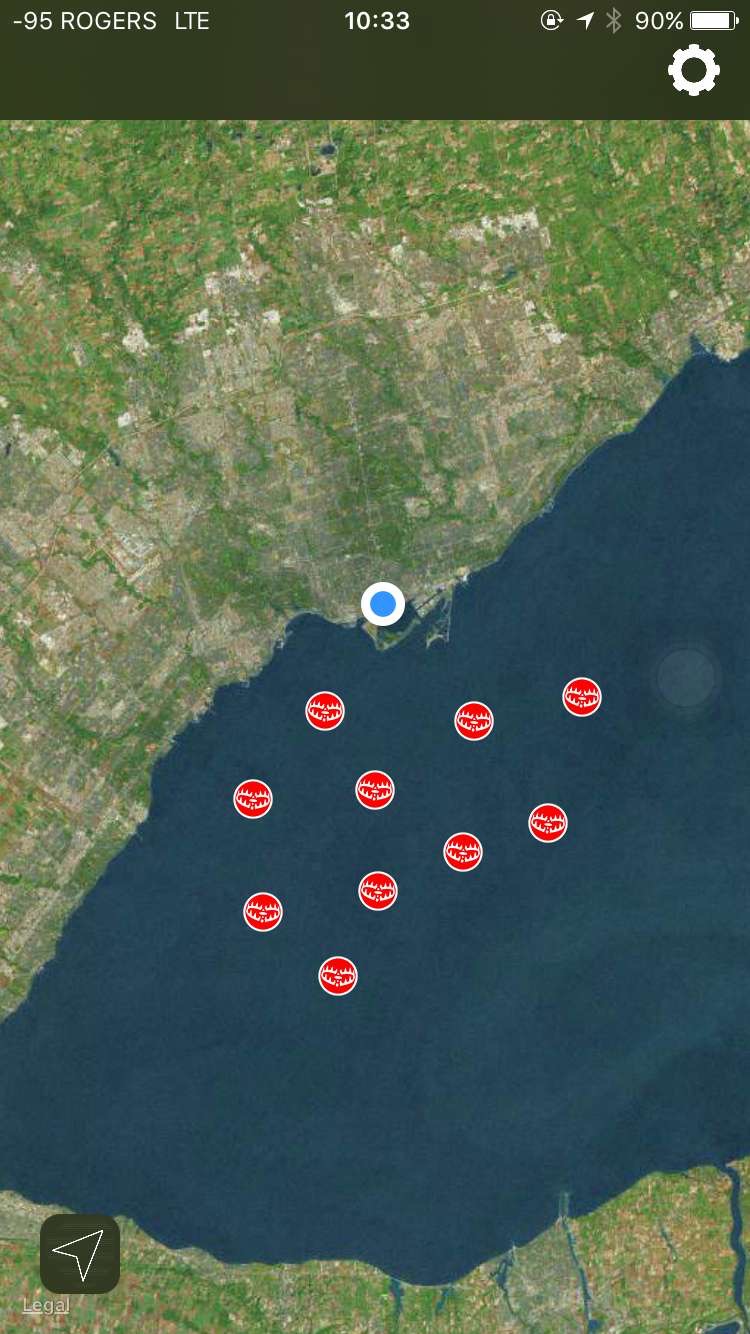
Satellite map with trap tags
-
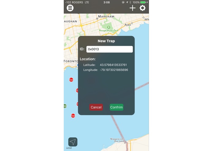
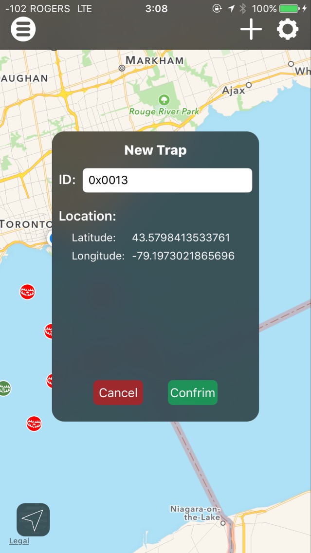
Adding a new tag with ID
-
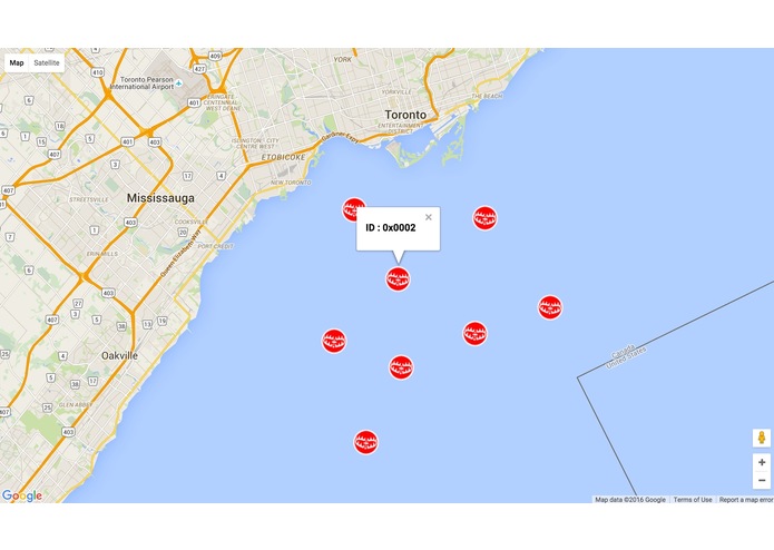
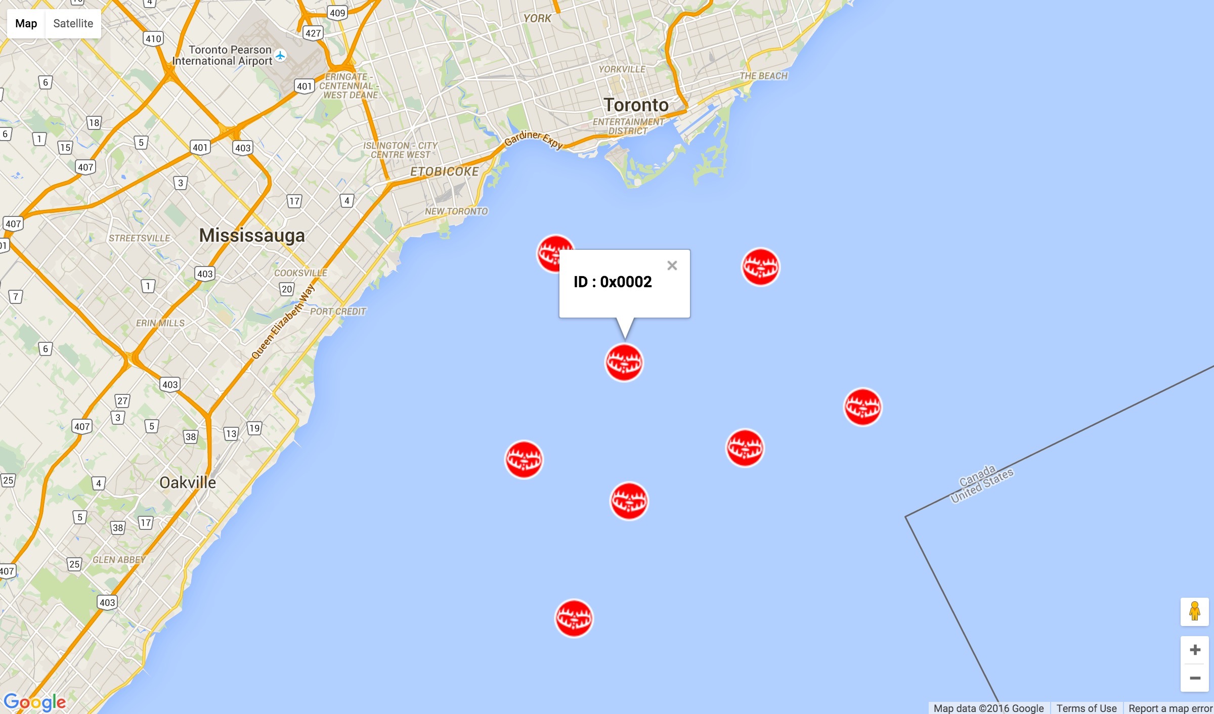
Website map
Inspiration
Nowadays, lost and derelict fishing gears are global major problem, especially in Bay of Fundy where lobster fishing is the main business there. However, the boat traffic cuts off lobster traps a lot and leave them unreached under water. So we want to make a service available to both fisher and vessel, that they can see where are those traps from map directly and prevent vessel conflict
What it does
Fishers can use our mobile app and GPS information to create a tag for placed trap, once the tag is uploaded to server, all other people can see it from map. So the vessel will know where all these traps are and choose a better way to go. Fishers can also manage their own traps, moving them to new locations or delete them from the server. All these operations will be reflected real-time in the map and vessel is always able to know the up-to-date information
How we built it
We have a web server dedicated to store all the tags and provide the information when client request, written in javascript and using express.js & mongoDB. Our mobile client will retrieve data from server and place tags on a map, phones' current location will also be available on map. The map will be updated in real-time
Challenges we ran into
Client-Server communication & several UI conflict issues
What's next for Fishing Gear in Peace
There will be an option for fishers to turn off the map, since they may only have cellular data and loading map cost lots Also there might be navigation mode for vessels, which will automatically warning you surrounding traps that are close to you.
Built With
- express.js
- java
- swiift

Log in or sign up for Devpost to join the conversation.