Inspiration
I live in California, so fires are always a big concern in the area. The state parks here have indicators for fire danger, but a majority of the areas do not have a fire chance indicators. I wanted to have a simple way to use data collected from these areas and get the fire chance of the area.
What it does
It uses a general formula which takes in temperature, humidity, wind levels and soil moisture. Data is collected from a wide array of sensors across the area. This data is passed to R and averaged. The average data is finally plugged back into the formula and it outputs the fire chance in the area.
How we built it
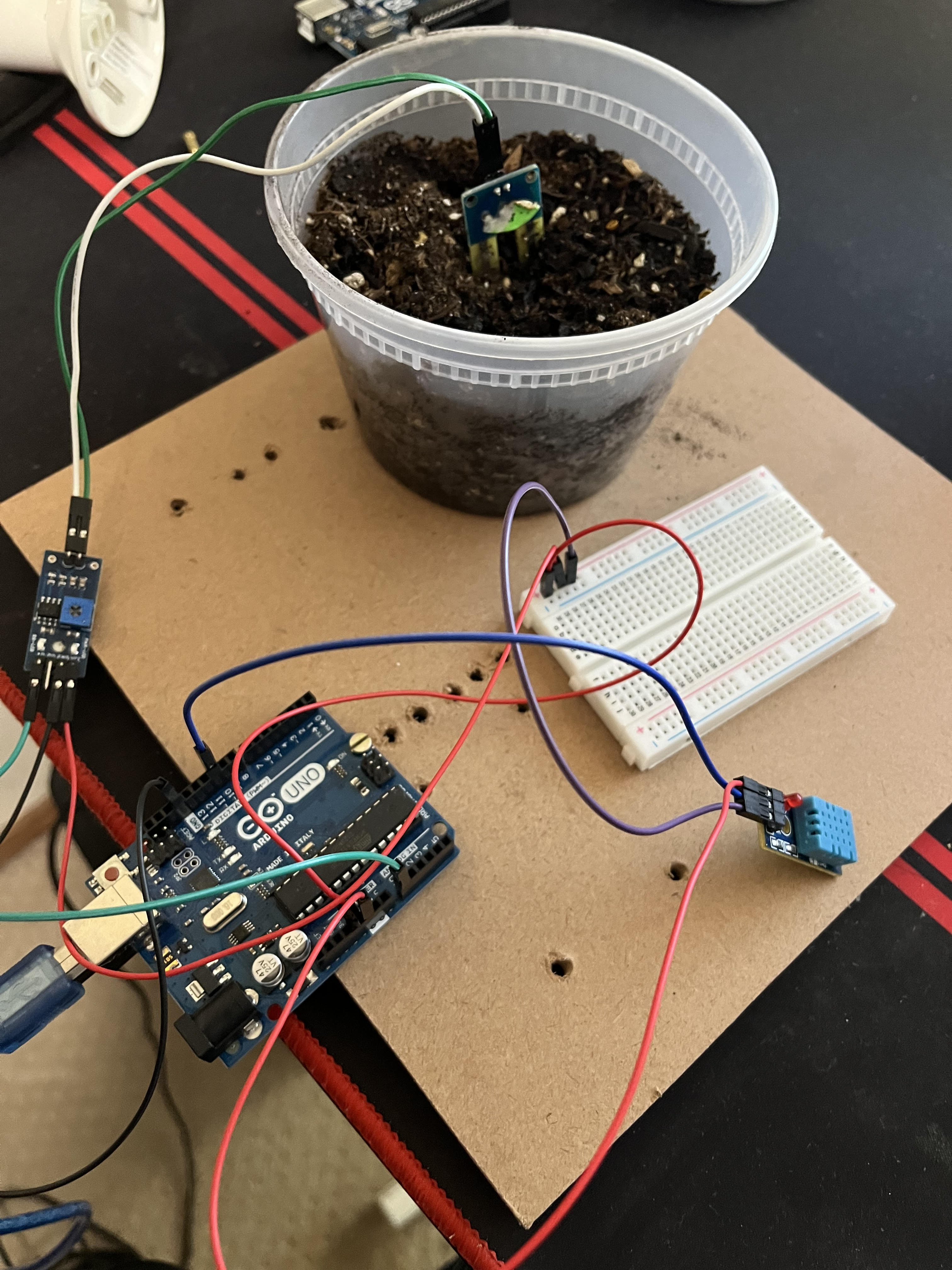
I connected a soil moisture sensor and a DHT11 Temperature and Humidity sensor to an Arduino Uno. Using this build, I generated 30 data values from each sensor to simulate 30 different locations in an area.
Challenges we ran into
The biggest challenge was scouring through many research papers and understanding the information provided. I also had to analyze many detailed and narrow focused studies and combine them together for a broader formula.
Accomplishments that we're proud of
I was proud of getting the data from the Arduino and sensors and being able to use that data in R for calculations. I was also proud of my research and finally coming up with a simple formula for accurately estimating the chance of a fire.
What we learned
Through my research, I learned a lot about the different data points that are used in estimating the chance of a wildfire.
What's next for Fire Chance Indicator
I want to incorporate machine learning and neural networks to predict which areas are most susceptible to fires. This way, authorities can be notified and can prevent fires before they even start. I also wanted to use more sensors such as infrared cameras and land plotting and come up with an even better formula to more accurately predict wildfires.

Log in or sign up for Devpost to join the conversation.