-
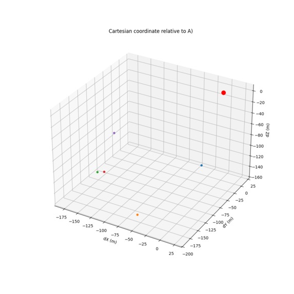
3D Visualization of each cartesian coordinate points
-
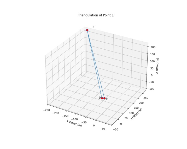
3D Visualization of the triangulation point E
-

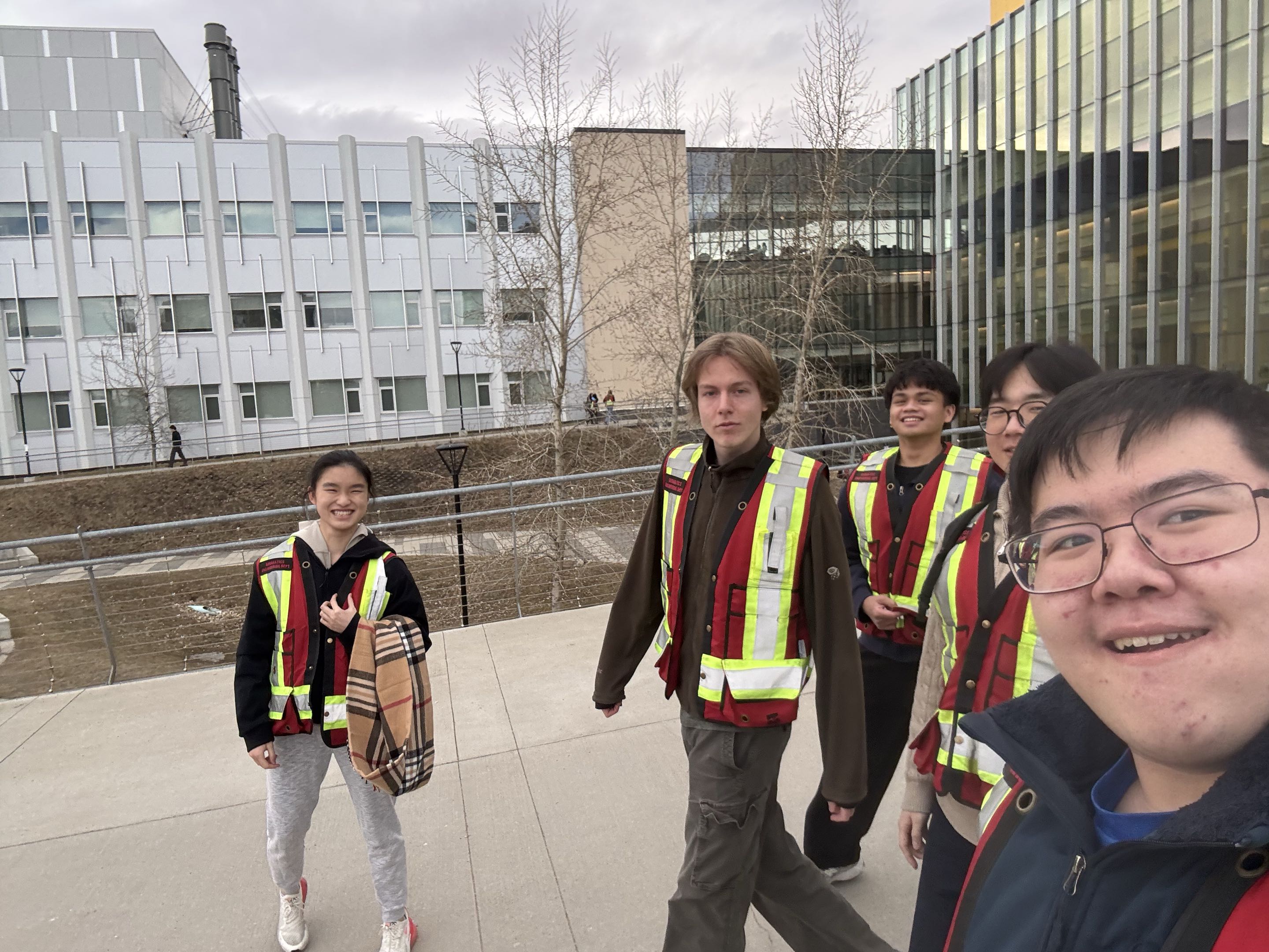
Group Photo


Inspiration
Inspired by programs such as google maps, we sought out to make a project able to process data from a receiver to translate into cartesian data.
What it does
The Github repository is a series of scripts and functions that allow conversions of coordinate data to other forms, such as converting geodetic data into cartesian or converting from ENU to coordinate.
How we built it
Built using data gained from utilizing a GNS-850 antenna with PPP configuration, following the clues and problem questions given to us throughout the event.
Challenges we ran into
Initially we attempted to use RPK configuration, however due to technical difficulties with connection, we were unable to do so. Other issues that arose may be calculation errors and overall readability of the code.
Accomplishments that we're proud of
We were able to find the final coordinate within a reasonable error range (<10%) and get through all 6 clues of the event. We are also proud of how far we got into our first hackathon.
What we learned
We learnt how tight the time constraints are for hackathons and the knowledge required to get through one in a reasonable manner. We also learnt quite a bit about the geomatics experience, and the surveying equipment used and the interfacing required.
What's next for Finding Coordinates Through PPP Data Collection
We may attempt to improve the project by giving it a proper UI, allowing the user to select what functionality they want rather than sifting through the file of the Github repo.

Log in or sign up for Devpost to join the conversation.