-
-
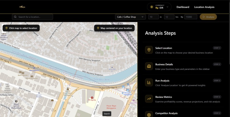
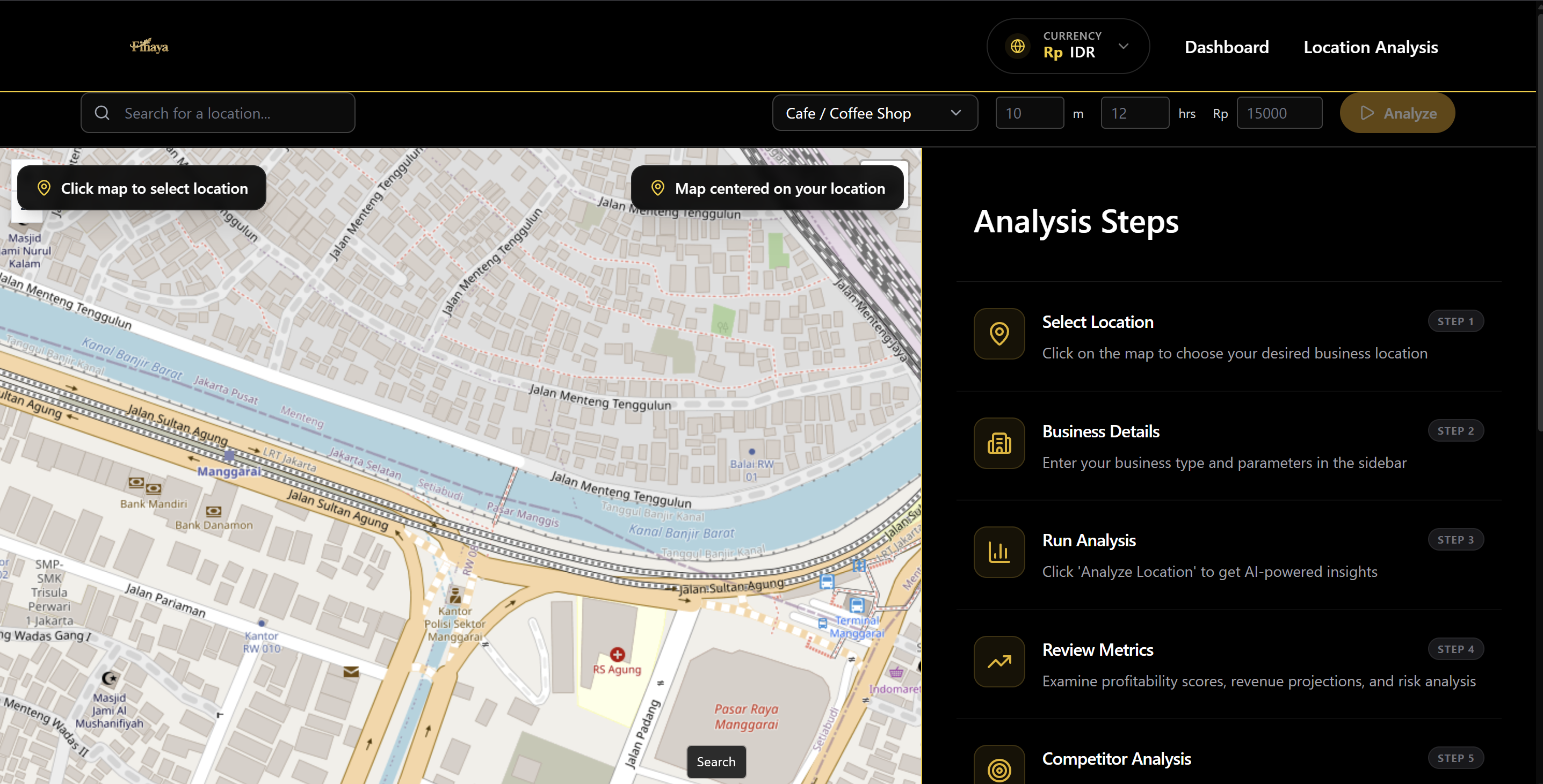
Location Analysis Page
-

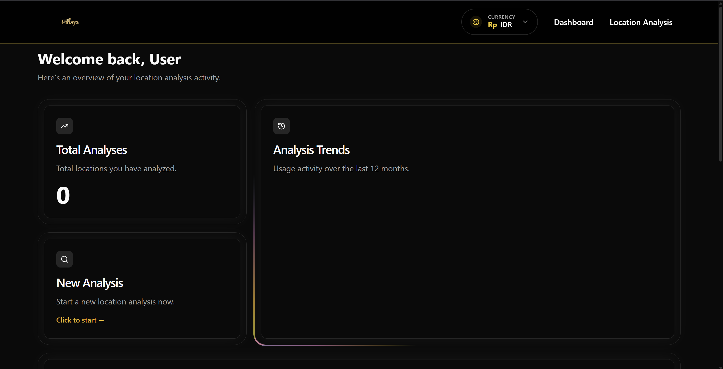
User Dashboard Page
-
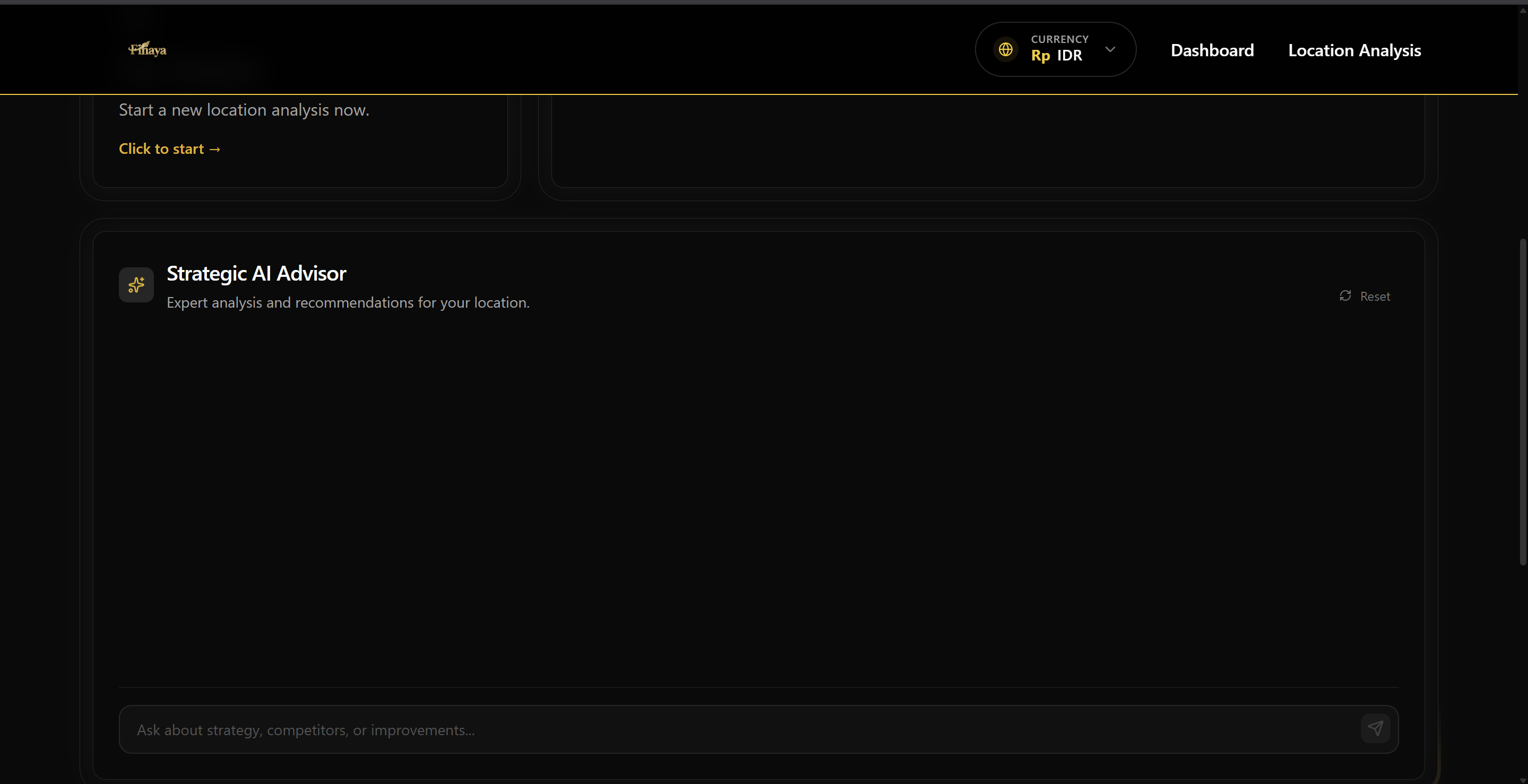
Finaya Agent for Consultation
Inspiration
The spark for Finaya ignited during the Google APAC Solution Challenge 2025 in the Philippines. Jason Loi, formerly a member of the team Sunib Bro, was ranked among the Top 10 AI solutions in APAC out of 3,300+ submissions. During the competition, he encountered a geospatial project called GeoGemma, which showcased the power of data-driven insights in selecting the perfect business location.
It was a revelation: while large corporations have entire data science teams to guide expansion decisions, local Small and Medium Businesses (SMBs) often rely on guesswork. Jason realized that many promising businesses were missing out simply because the right tools were out of reach.
Motivated by this insight, we envisioned Finaya: a platform that democratizes site selection with data. Our mission is to empower entrepreneurs to confidently identify high-potential areas for expansion—without expensive tools or specialized teams—so that every business can grow smarter, faster, and with greater confidence.
What it does
Finaya is an intelligent, agentic AI business consultant that revolutionizes how simple businesses choose their locations. By simply selecting a point on an interactive map, Finaya captures the geospatial context and uses Gemini 3 to analyze the surrounding environment.
It goes beyond simple data visualization. Finaya simulates realistic customer footfall using probabilistic traffic models, factors in weather impacts, and projects potential revenue. It acts as a virtual strategist, telling business owners not just where to open, but where they will thrive, providing actionable insights on profitability, competitor gaps, and demographic fit.
How we built it
We architected Finaya as a modern, high-performance web application:
Frontend: Built with React.js to create a responsive and immersive map-based interface. Backend: Powered by FastAPI to handle complex geospatial computations and manage the orchestration between services. Multimodal AI: We integrated Gemini 3's multimodal capabilities as the core reasoning engine. The system captures high-resolution screenshots of the selected map area and feeds them into Gemini. This allows the AI to "see" and "reason" about the location—identifying residential clusters, road accessibility, and commercial density just like a human consultant would. Simulation Engine: We combined the AI's visual understanding with a custom Traffic & Weather Engine, which calculates Visitor Impact Coefficients (VIC) to turn static map data into dynamic business projections.
Challenges we ran into
Bridging Vision and Data: One of our biggest hurdles was getting Gemini to accurately interpret map scale and density from screenshots and correlate that visual data with our mathematical traffic models. Data Integration: Seamlessly merging "soft" AI reasoning (visual analysis) with "hard" statistical data (traffic probabilities) required multiple iterations of prompt engineering and backend logic to ensure reliable results. Resource Management: Optimizing the analysis pipeline to be fast and responsive, despite the heavy lifting done by the AI and simulation engines, was a key technical challenge we had to overcome.
Accomplishments that we're proud of
True Agentic Reasoning: We are proud to have built a system where the AI acts as an agent it doesn't just read data; it explores the map and reasons about business viability. Democratizing Intelligence: Successfully creating a tool that brings enterprise-level location intelligence to the hands of everyday business owners. The "Deep Think" Integration: Successfully implementing a "Deep Think" workflow where Gemini 3 processes visual map inputs to output complex economic predictions.
What we learned
We learned how statistical modeling and geospatial technology can collaborate perfectly with Generative AI. We discovered that Gemini 3 is not just a language or image model, but a powerful spatial reasoning tool. By combining it with our probabilistic engines, we learned that we can predict area distribution and business outcomes with a level of nuance that neither traditional maps nor AI alone could achieve.
What's next for Finaya
Hyper-Local Competitor Tracking: Integrating real-time data feeds to track competitor movements and market saturation instantly. Mobile Scouting App: Launching a mobile version that allows users to snap a photo of a physical storefront for instant AI analysis on the spot. Global Expansion: Refining our traffic and demographic models to support diverse urban planning structures across different countries. Community-Driven Insights: Adding a layer for local crowdsourced reviews to give the AI "street smarts" about neighborhood vibes and trends.


Log in or sign up for Devpost to join the conversation.