-
-

Python GPS Simulator
-

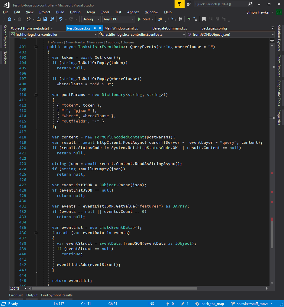
query events
-

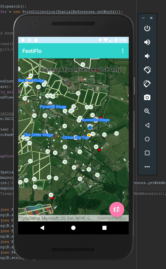
Android app
-

Crowd simulator
-

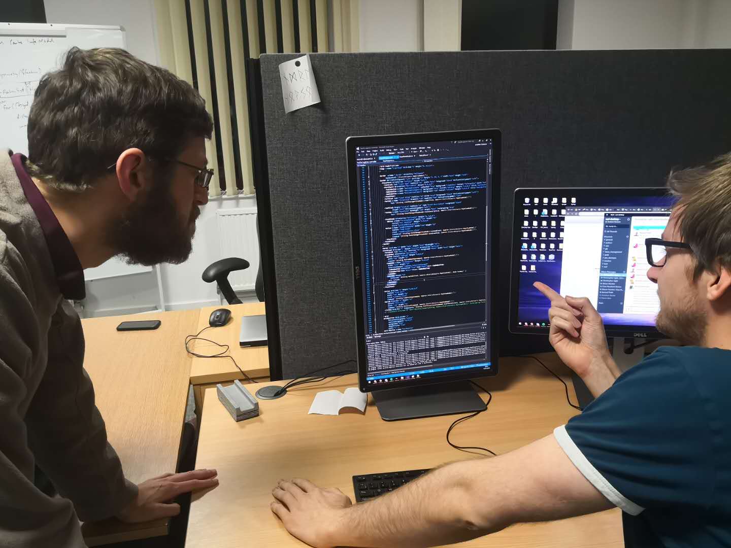
Hard at work
-

This should work...
-

Technical Explanation
-

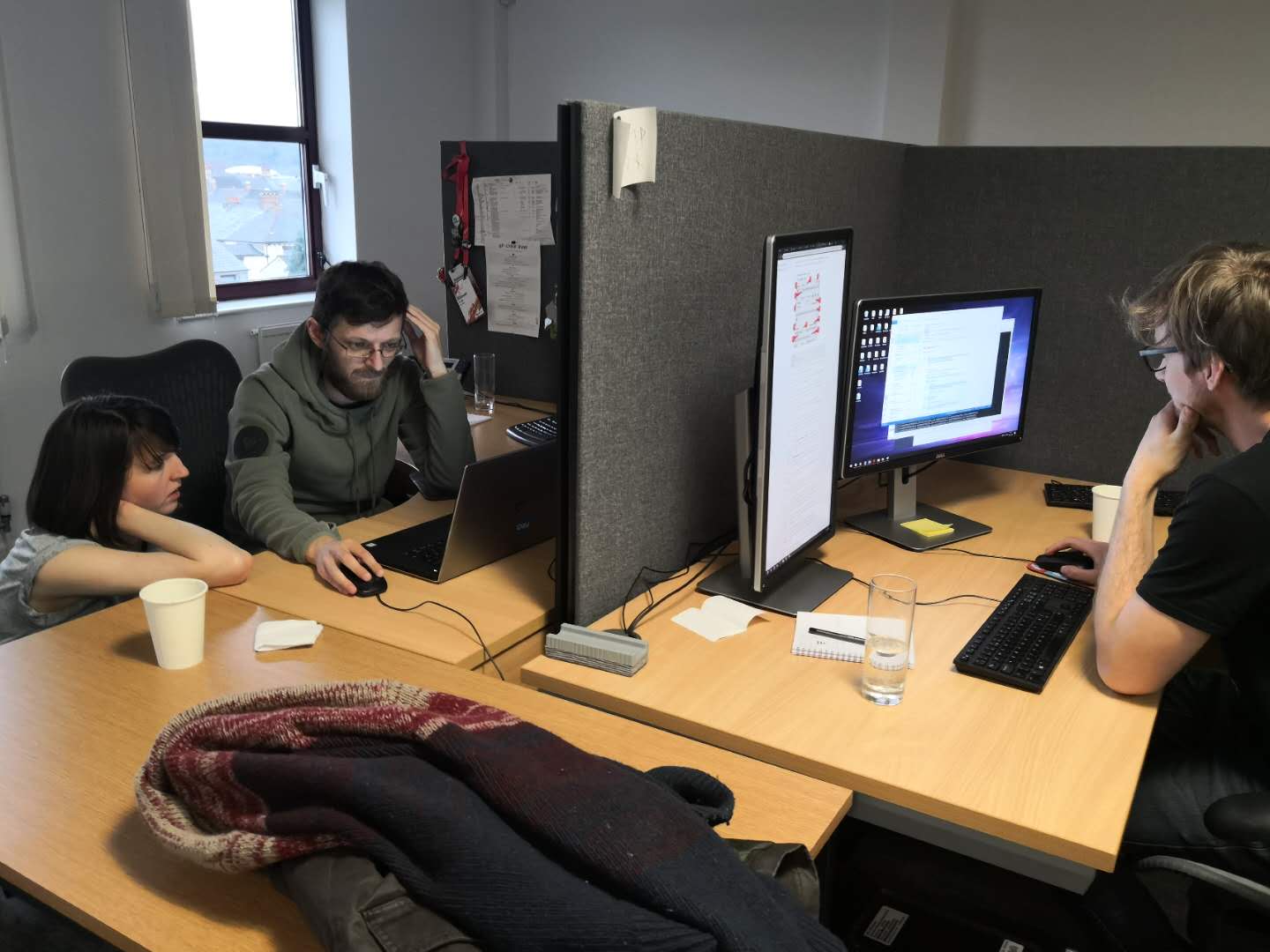
Heads Down
-

Collaboration is key
-

Tools of the trade
-

Peek a boo
-

Management app (staff at starting locations)
-

Management app (staff at allocated positions)


Inspiration
When organising an event, there are many decisions to make regarding allocation and distribution of resources. FestiFlo enables event organisers to make intelligent spatial decisions in relation to the location of their event attendees.
What it does
Direct your attendees and staff to make your festival flow!
For the directing of staff, the app functions as a central datastore where problem points can be highlighted and alerts sent out to mitigate these. For example, a toilet block that needs cleaning. The app is also beneficial to the attendees to help maximise their enjoyment of the event. It gives real-time spatial information about points of interest. E.g. What band is playing next on the Pyramid Stage.
How we built it
Starting with a georeferenced PDF sitemap of Glastonbury festival the important features were digitised in ArcGIS Pro and then shared as Web layers. The coordinates of the features were exported to CSV. This gave us a base map to use with the crowd simulation app we then created.
The app consists of three main parts; a server, a desktop client app and an android user app. To achieve communication between the server and the apps we used feature service layers and the Rest API.
The desktop client uses geometry functions from the Runtime SDK to make decisions about where staff are required based on live user location from the feature service layers. We used a graphical heat map renderer, taken directly from tutorials available online to visually represent where users are moving. The management app can send specific event messages which are then view-able by the attendees.
The android app uses feature layers and location services to work as a personal spatial message board to allow the event organisers to communicate with the attendees.
Challenges we ran into
- Lack of real data to allow us to really test it.
- We wanted to use stream layers originally, but we had trouble getting the authorisation to work and this stopped the events firing. This was probably due to configuration errors with the server and weren't sure we could get it working in the time frame.
- The dynamic feature layers we created could not be displayed in the android app. These feature services lacked extents and we were unable to solve the issue.
- We ran into authorisation issues with the SSL certificates for the server. The verification of these had to be bypassed.
Accomplishments that we're proud of
Pulling three platforms together to work with live dynamic data.
What we learned
- Rest API and integration between server, Runtime and ArcGIS Online.
- The potential power of Esri server technology.
What's next for FestiFlo
- Add AI to automate the processes.


Log in or sign up for Devpost to join the conversation.