-
-

FES Logo
-

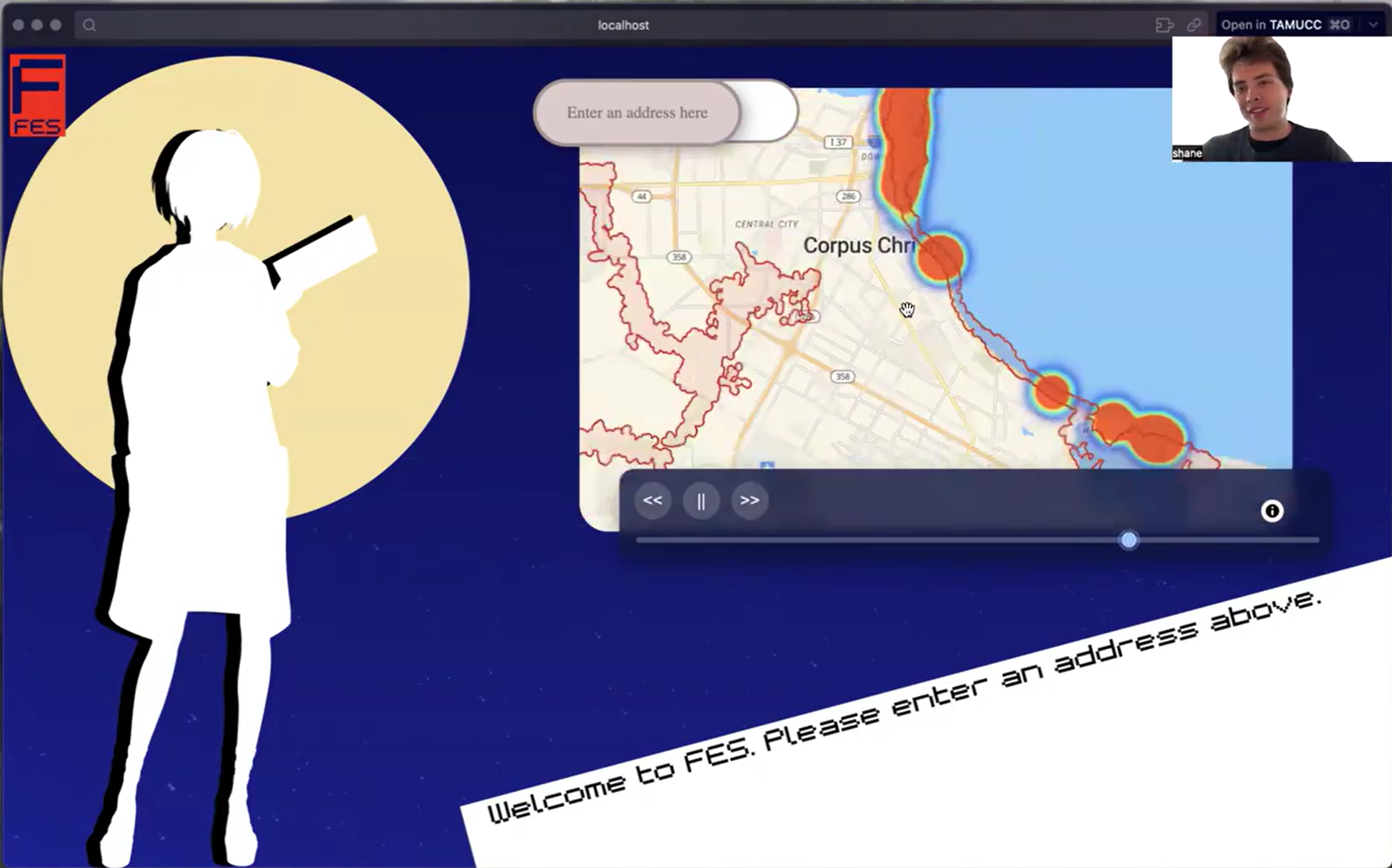
Flood Risk Heat Map
-
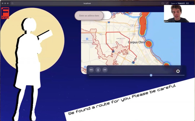
Generated Route


Inspiration
Flooding poses a major risk to the Corpus Christi area, often leaving residents and emergency services without reliable information on safe travel routes. Traditional navigation systems fail to account for real-time or predicted flood conditions, putting lives and property at risk.
What it does
-Predicts potential future flood events in the Corpus Christi area.
- Uses those predictions to map out the safest and fastest travel routes.
- Alerts users when a destination is not viable due to high flood probability.
How we built it
Languages & Frameworks: Python, Go, React
Mapping & Visualization: Maptiler, MapLibre
Routing API: OpenRouteService
Language Uses: Go was used to handle API requests and route computation between the ML model and the React frontend, ensuring efficient data flow and scalability, and Python was used to create the actual ML model to predict the flood events.
Challenges we ran into
Defining a clear project goal under time pressure
Obtaining and processing reliable flood event datasets for ML training
Handling large file uploads and GitHub repository limits
Completing the system within a 36-hour hackathon timeframe
Accomplishments that we're proud of
Develop a more accurate and defensible ML model
Enhance the frontend website** for better user interaction and visualization
Incorporate additional environmental and real-time data sources for improved flood prediction
Explore deployment as a mobile or emergency-response tool for local use
What we learned
The difficulties of creating an AI and an ambitious project.
What's next for FES: Flooding Event Simulacrum
We aim to expand the area that our model covers. We can also utilize our model for other natural disaster prevention plans, such as forest fires and tornadoes.
Built With
- ai
- go
- maplibre
- maptiler
- openrouteservice
- python
- react

Log in or sign up for Devpost to join the conversation.