Inspiration
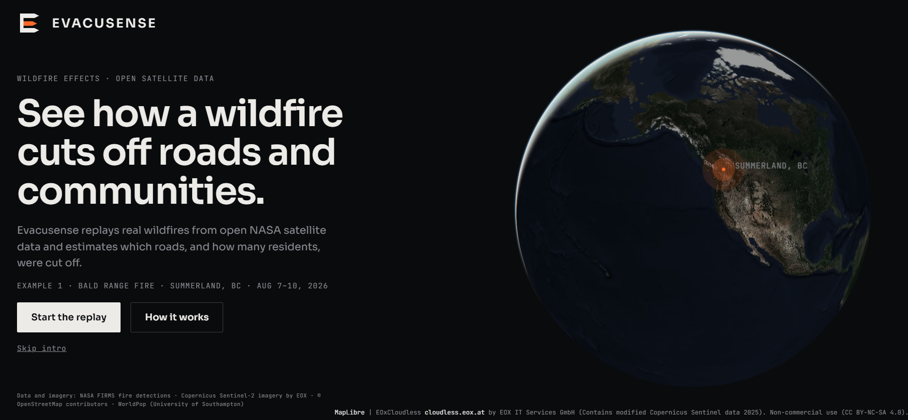
Inspired by recent disastrous wildfire in Summerland, BC during Summer 2026 as it was a major disaster that affected many people. Being made aware of the vast amount of open source satellite imagery, public datasets, and other resources, we decided to create a site to be able to provide replay and impact-estimation on this tragedy, in hopes of providing insight for future disasters.
What it does
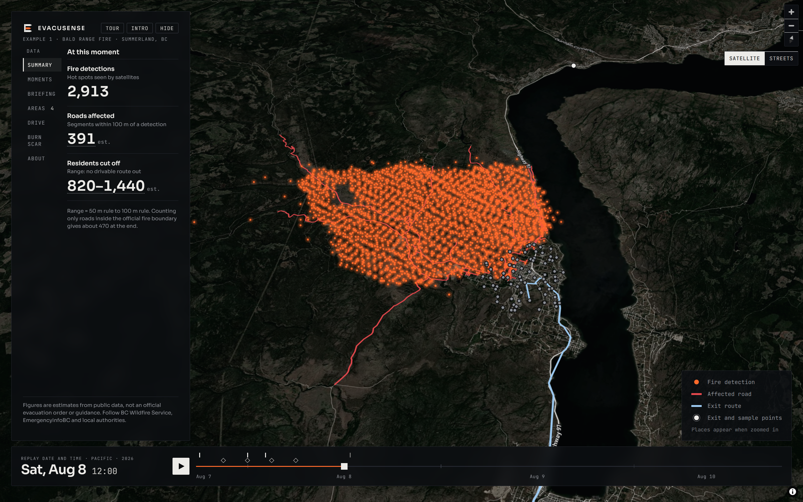
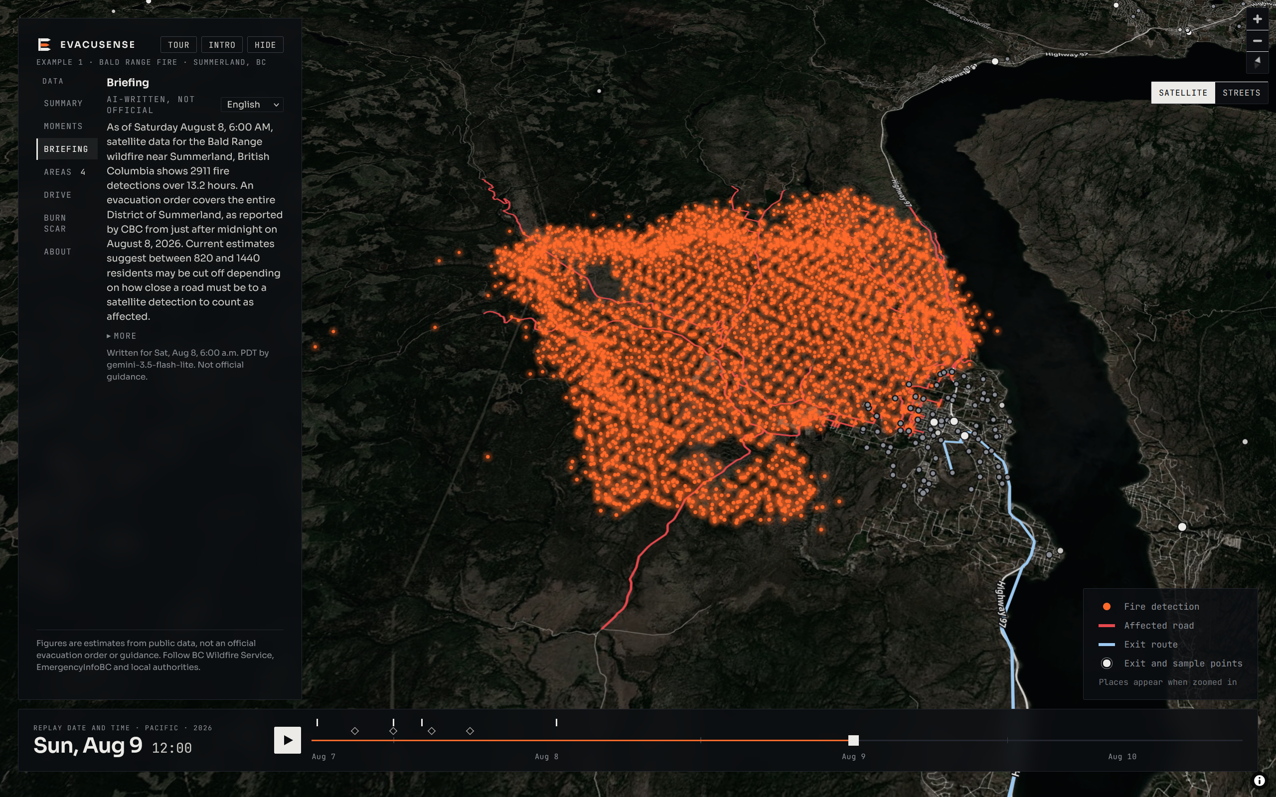
This project estimates how the forest fires grow and affect people and roads during the first few days. For our project's current state, we chose to provide in-depth analysis on the Bald Range forest fire in Summerland, BC.
How we built it
Evacusense is built as an offline Python pipeline plus a static web page. We combine NASA FIRMS fire detections, OpenStreetMap roads, WorldPop population and Sentinel-2 imagery. The pipeline marks roads near detections as likely affected, estimates how many residents lost every route to an exit, and validates the footprint against the official BC Wildfire Service perimeter (97% of detections inside). Gemini writes multilingual briefings from the computed numbers only, with code that rejects invented figures. The front end is plain JavaScript and MapLibre, deployed on Vercel.
Challenges we ran into
Initially, we were unsure of how to implement the program. There was also a lack of data on road closures and traffic for 2026, making it difficult to determine which roads would be closed at certain times. Due to this lack of data, when we tried to take the next step in creating an accurate simulation algorithm to predict forest fire effects in other areas, the simulation ended up grossly overshooting, leading us to scrap that feature until we have either better data or a better model.
Accomplishments that we're proud of
We are proud of getting the project working, and utilizing two coding languages, Python for data analysis, and Javascript for website UI.
What we learned
We learned more about calling public dataset APIs, using OpenStreetMap, and how to implement a project from scratch with the help of AI.
What's next for Evacusense
This can be expanded to show other wildfires and perhaps help predict how future fires will affect roads. We would like to plug in a validated fire-behaviour model so the same layers show scenarios, add more past fires, and get real closure and warning timestamps.

Log in or sign up for Devpost to join the conversation.