-

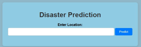
Screen that users see when they open the app
-
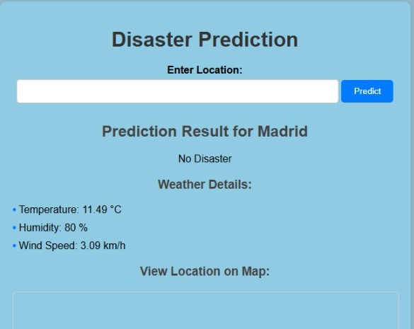
Example of response for entering the location Madrid
-

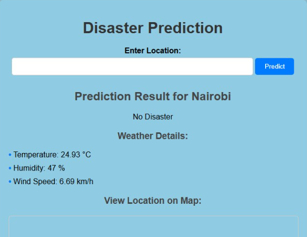
Example of response for entering the location Nairobi

What inspired us
After seeing the damage and lack of preparedness, as described by residents, we thought of developing an app that could provide users with the next steps after receiving evacuation notices
What it does
EvacuAid keeps our users informed and prepares them for natural disasters with real-time updates. The app personalized guidance on what to pack and how to navigate safely during an evacuation.
How we built it
We built EvacuAid using a geocoding services and catastrophe APIs. This gave us location-based data to convert into useful information for our users. Our goal was to provide instructions on what to do minimizing the stress for users.
Challenges we ran into
One of the main challenges we faced was integrating multiple data sources into one app. Another challenge we faced was the time difference of our team which made communication a bit difficult.
Accomplishments that we're proud of
Honestly we are proud that we were able to put the app together and bring our idea to live.
What we learned
Throughout the development process, we learned how important it is to strike a balance between delivering accurate, real-time information and making the app easy to navigate under stressful conditions. We also learned the importance of testing our app in various disaster scenarios to ensure that the information we provide is both reliable and practical. Additionally, we recognized the value of user feedback in improving the app’s functionality and usability, particularly in times of crisis.
What's next for EvacuAid
Moving forward, we plan to expand the app’s capabilities to include more disaster types and locations.


Log in or sign up for Devpost to join the conversation.