-
-
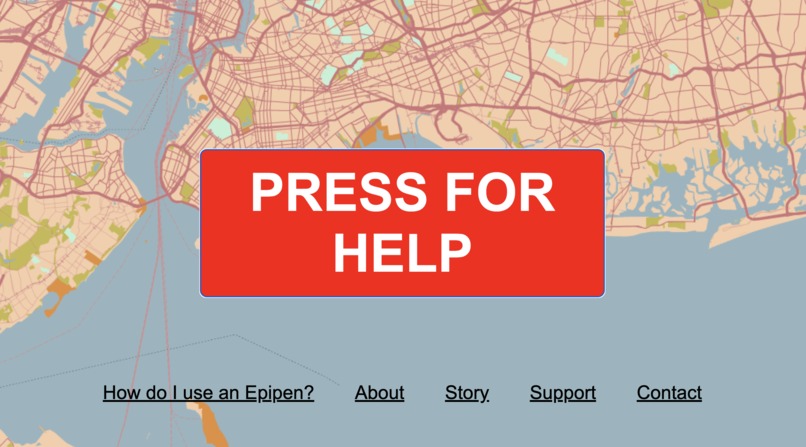
WebPage
-
Navigation
-

Mobile Demo
-
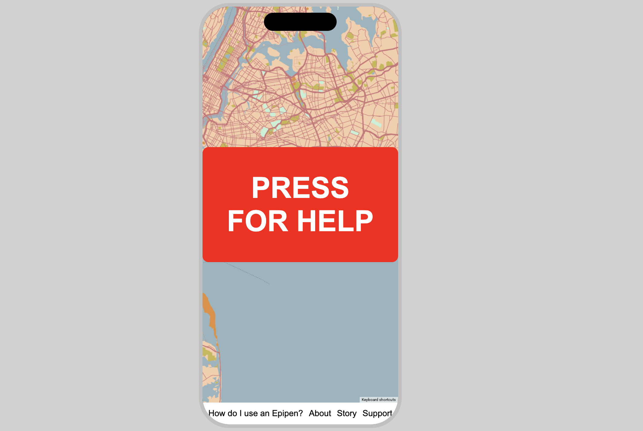
Mobile Lock Screen
-
Mobile Scan
-
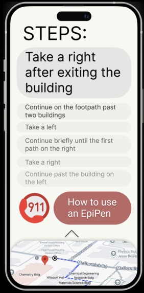
Mobile Navigation
-
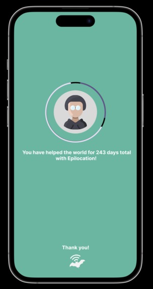
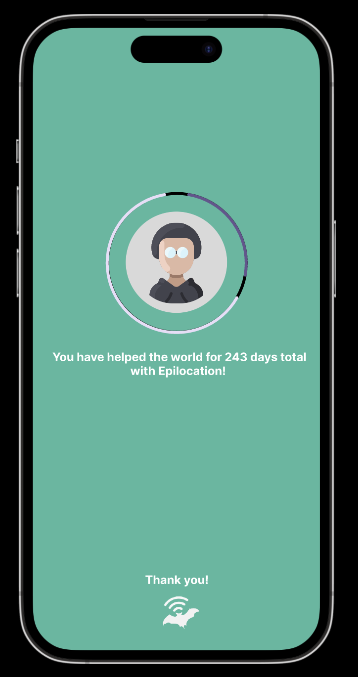
Mobile Profile
-
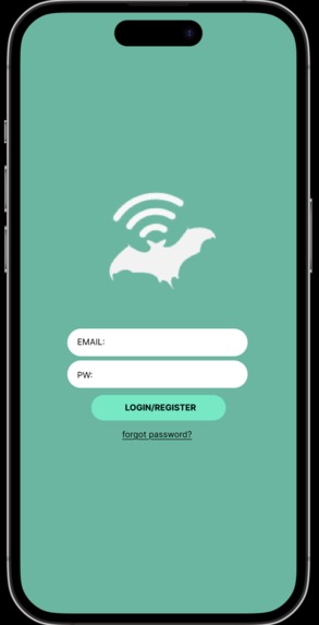
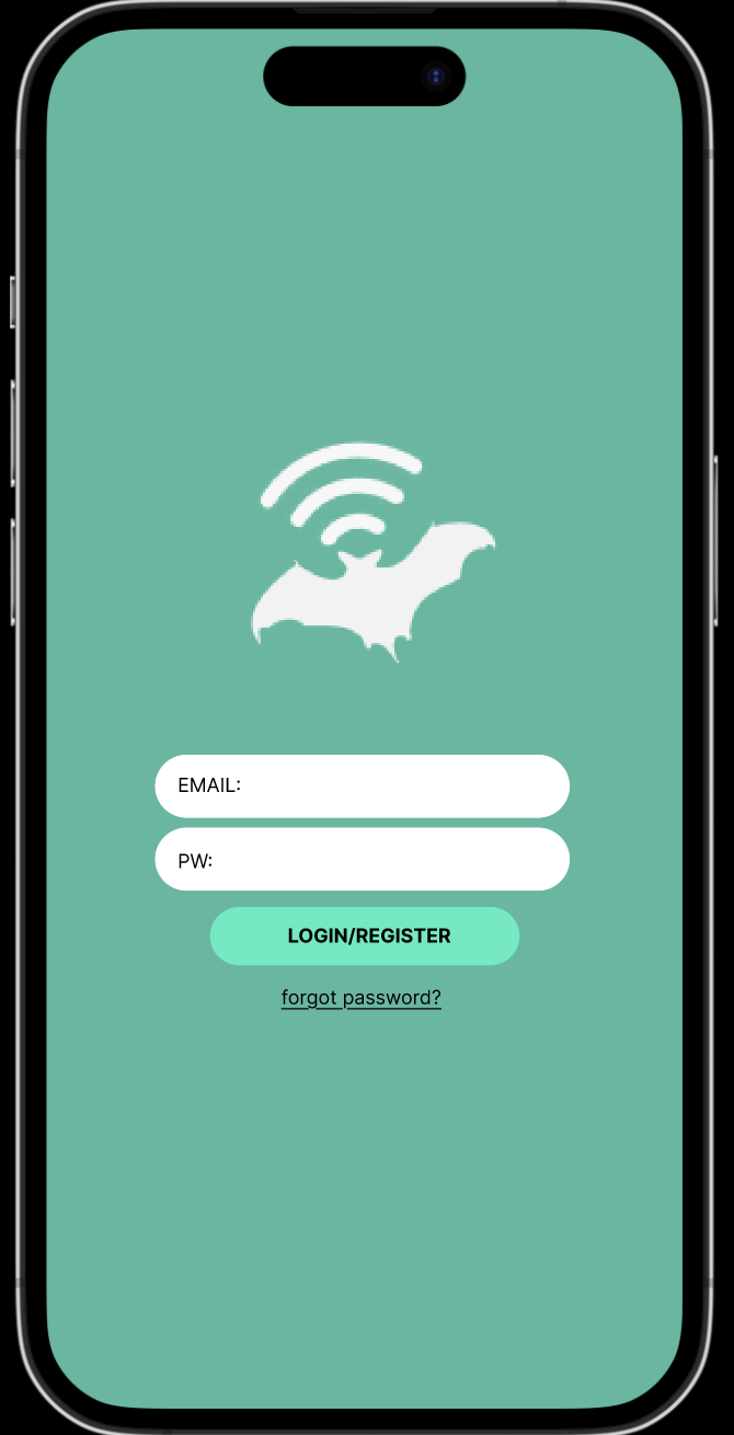
Mobile Login


Inspiration
The idea for EpiLocation was born from the realization that while AEDs (Automated External Defibrillators) are widely available and strategically placed in public spaces, another lifesaving device—the EpiPen—is often overlooked. Anaphylaxis, a life-threatening allergic reaction, requires immediate treatment with epinephrine. However, EpiPens are rarely included in emergency preparedness plans or tracked like AEDs. This disparity inspired us to create a platform that highlights the importance of placing EpiPens near AEDs and provides a system to locate and track both devices during emergencies.
What It Does
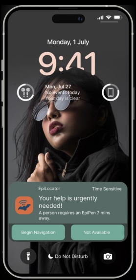
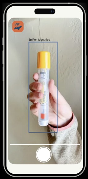
EpiLocation is an interactive platform designed to: Display AED and EpiPen locations on a map. Use geolocation to route users to the nearest lifesaving device during emergencies. Provide a mobile-friendly interface that mimics a smartphone app for intuitive navigation. Advocate for the inclusion of EpiPens in public emergency preparedness plans.
How We Built It
Frontend: Designed a responsive user interface using HTML and CSS. Created an iPhone-like frame for the mobile app interface. Integrated interactive buttons like "PRESS FOR HELP" for quick access to emergency features.
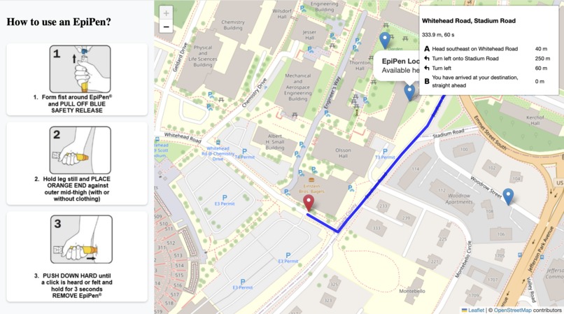
Mapping Technology: Used Leaflet.js to create an interactive map displaying AED and EpiPen locations. Integrated real-time routing functionality using Leaflet Routing Machine.
Backend: Stored device coordinates in coordinates.txt and fetched them dynamically. Used JavaScript to handle geolocation, routing, and user interaction.
Mobile Simulation: Styled the app to resemble a mobile device screen with a "dynamic island" at the top for aesthetics.
File Organization: Organized assets such as images (1_step.png, 2_step.png, 3_step.png) and pages (aboutPage.html, contactPage.html) in a structured directory.
Challenges We Ran Into
Data Collection: While AED data is readily available through registries, finding publicly accessible EpiPen data was challenging due to prescription restrictions and liability concerns.
Geolocation Accuracy: Ensuring accurate user location detection and routing required iterative testing across devices.
Mobile Responsiveness: Designing a seamless experience across various screen sizes while maintaining the iPhone-like aesthetic was technically demanding.
Accomplishments That We're Proud Of
Successfully integrated AED and EpiPen tracking on an interactive map. Developed a fully responsive mobile-friendly interface with real-time geolocation and routing. Advocated for increased awareness of anaphylaxis preparedness through our platform's design and functionality.
What We Learned
Emergency Preparedness: The importance of combining technology with advocacy to address gaps in public safety infrastructure.
Technical Skills: Mastered Leaflet.js for mapping and routing functionality. Improved our ability to handle geolocation data dynamically.
Collaboration Tools: Learned how to resolve Git conflicts effectively and maintain a clean repository.
User-Centered Design: Understood the value of creating intuitive interfaces that prioritize accessibility during emergencies.
What's Next for EpiLocation
Crowdsourced Mapping: Enable users to add new AED/EpiPen locations via mobile submissions.
Indoor Navigation: Develop indoor navigation features for locating devices within large buildings like malls or airports.
Advocacy Campaigns: Partner with organizations to promote policies that mandate placing EpiPens near AEDs in public spaces.
Integration with Emergency Services: Collaborate with 911 systems to provide real-time device locations during emergencies.
Offline Mode: Add offline functionality through Progressive Web App (PWA) features so users can access maps without an internet connection.
EpiLocation is not just a tool—it’s a movement toward creating safer communities by ensuring lifesaving devices are always within reach during critical moments!
Built With
- api
- github
- html
- javascript
- opensource


Log in or sign up for Devpost to join the conversation.