

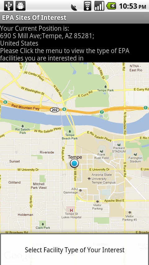
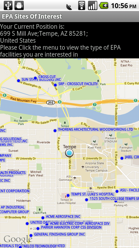
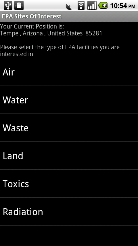
The purposes of this application are to allow users to identify EPA facilities in their cities and view EPA reports of those facilities in terms of different categories via android devices. Our database is created based on A single National Zip from http://www.epa.gov/enviro/html/frs_demo/geospatial_data/geo_data_state_single.html , and the database is run from a remote server so the data file is not downloaded to the phone. To use our applications, please turn on your GPS and connect Wifi/3G/4G. It will first identify your location based off of the GPS. After you click MENU button, you can switch to the type list of EPA facilities(air, water, waste, land, toxics and radiation ). You can click the type item in your interest. After several seconds, it will give you an list of corresponding facilities in your city and their distance (in meters) from you. Clicking any facility item will show you EPA's report of that facility. If you click MENU button again, you will switch back to initial map view and get a general picture of those facilities' locations.
EPA Sites of Your Interest
Updates

Leave feedback in the comments!
Log in or sign up for Devpost to join the conversation.