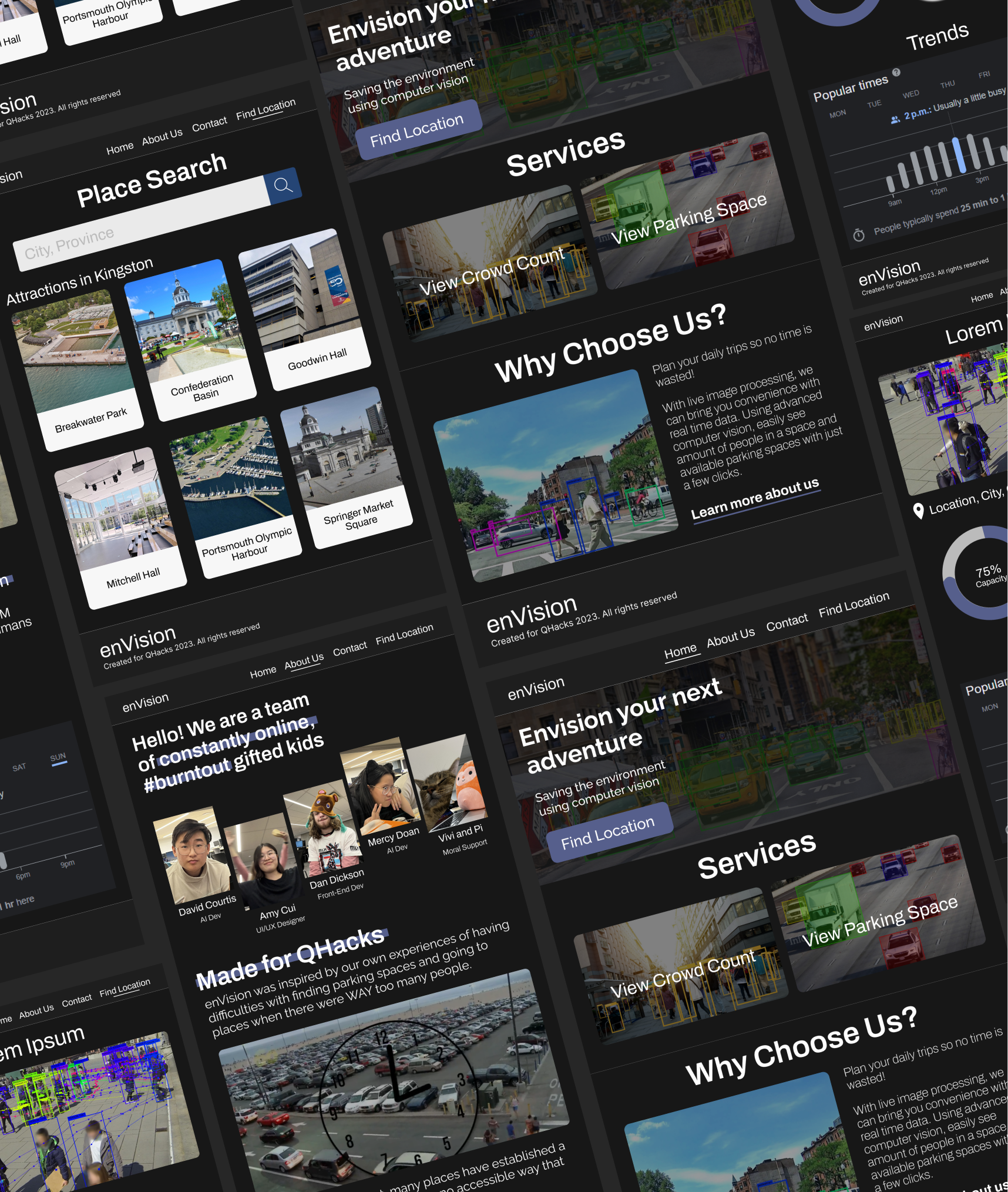
enVision your next adventure
Saving the environment using computer vision
Inspiration
Have you ever driven to a community attraction, only to waste time and energy searching for parking spots?
In well developed countries, it is estimated that 30% of fuel is wasted due to vehicles navigating in search of parking — the equivalent of 18.6 billion pounds of carbon emissions annually. In commuter cities, nearly six out of 10 drivers abandon their search for a parking space at least once, and drivers have spent an average of nearly 20 minutes searching for parking. Drivers who require accessible parking may have even more difficulties, especially in unfamiliar places.
Our project is inspired by two distinct challenges that can be effectively addressed through one simple solution. The first pertains to the difficulties with locating available parking spots within public parking facilities. The second relates to the limitations in obtaining information about the crowd and capacity levels of specific areas without physically visiting them. Solving these challenges would allow everyone to enjoy the best parts of community attractions and experience every city without hassle.
What it does
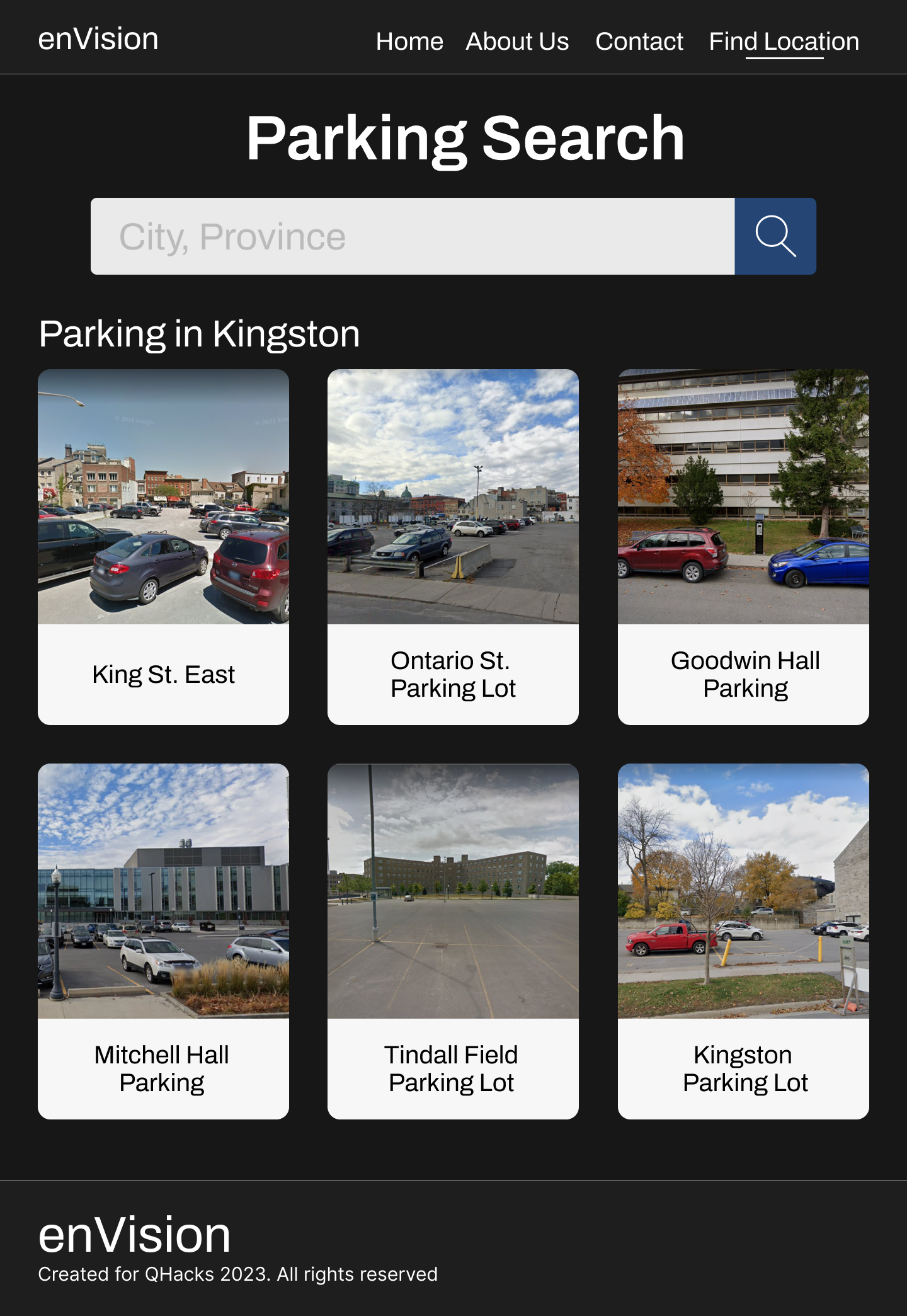
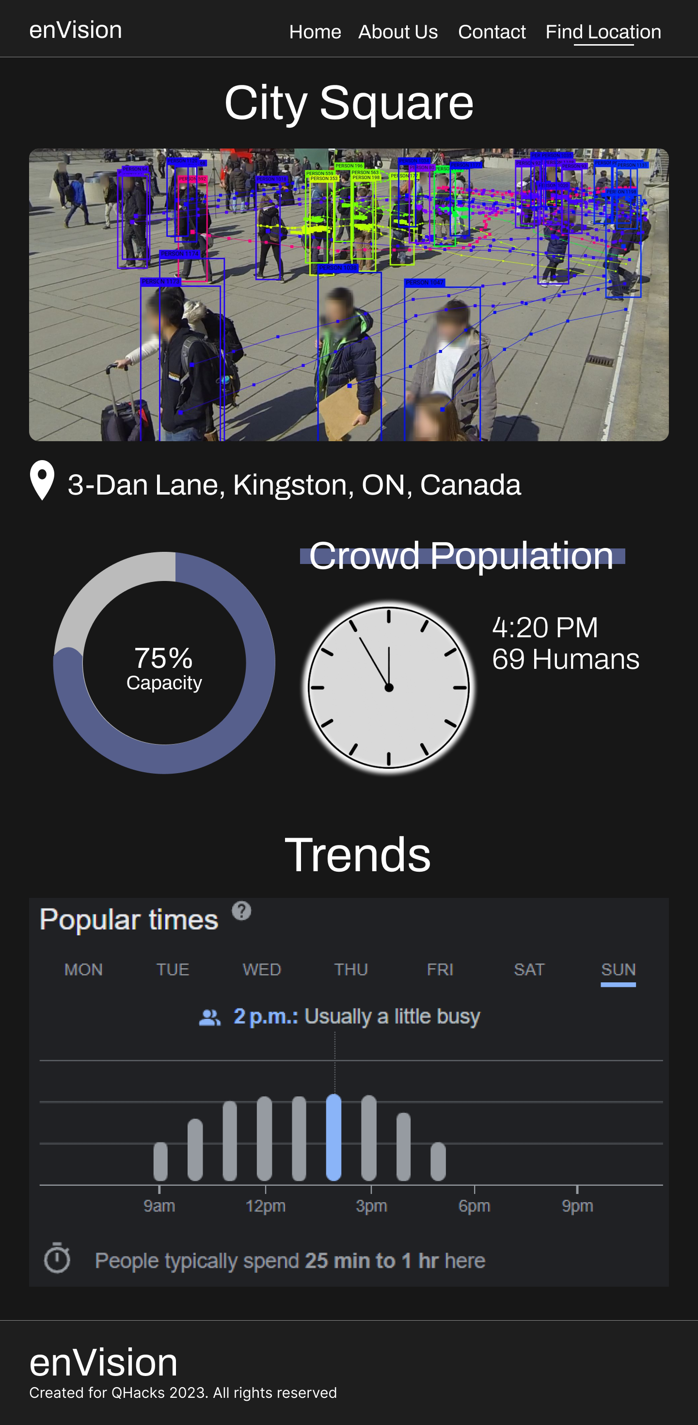
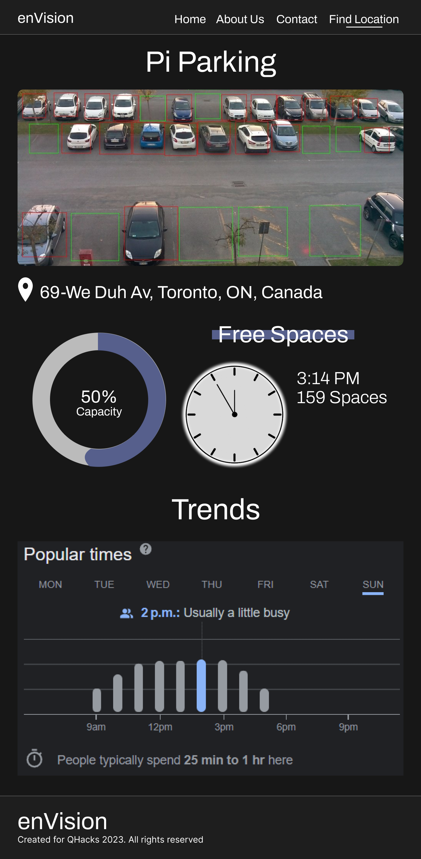
This is where enVision comes in. enVision offers a solution to both reducing carbon emissions and making spaces more accessible. Powered through satellite imagery, CCTVs, and utilization of state-of-the-art analysis and data processing in CV, enVision is able to identify available parking spaces globally, while also providing real-time insights on crowd density in a given area.
Features
We envision a future where community living is green, accessible, and convenient.
- Green: Plan your trip ahead of time to prevent long parking searches
- Accessible: Witness venues in advance to ensure accommodations are met
- Convenient: Use real-time computer vision analysis from live satellite imagery to spend more time in the places that matter
How we built it
We used Figma to design and prototype the website, and Wix/Velo to create our website where users can view all our real time data. The AI model is trained on a dataset of public satellite imagery which we used Convolutional Neural Networks to upscale. Then, we compared multiple Computer Vision models, and chose between Transformers, CNN, and R-CNN models to perform image analysis.
What's next for enVision
Given the time constraint, we decided to prioritize the training of AI for the detection of cars as a means of addressing the parking lot problem. Our next step for enVision will be to complete the training of AI for human detection, which will enable us to proceed with the crowd detection and analysis phase. At present, we are focusing on implementing the project in the city of Kingston due to the availability of existing public live feeds. However, we hope to expand the scope of the project to include other cities within Ontario in the future.


Log in or sign up for Devpost to join the conversation.