Inspiration
We were inspired partly by JPMorgan Chase's challenge regarding utilizing social media data in order to benefit first-responders. Also by A&M mascot Reveille :)
What it does
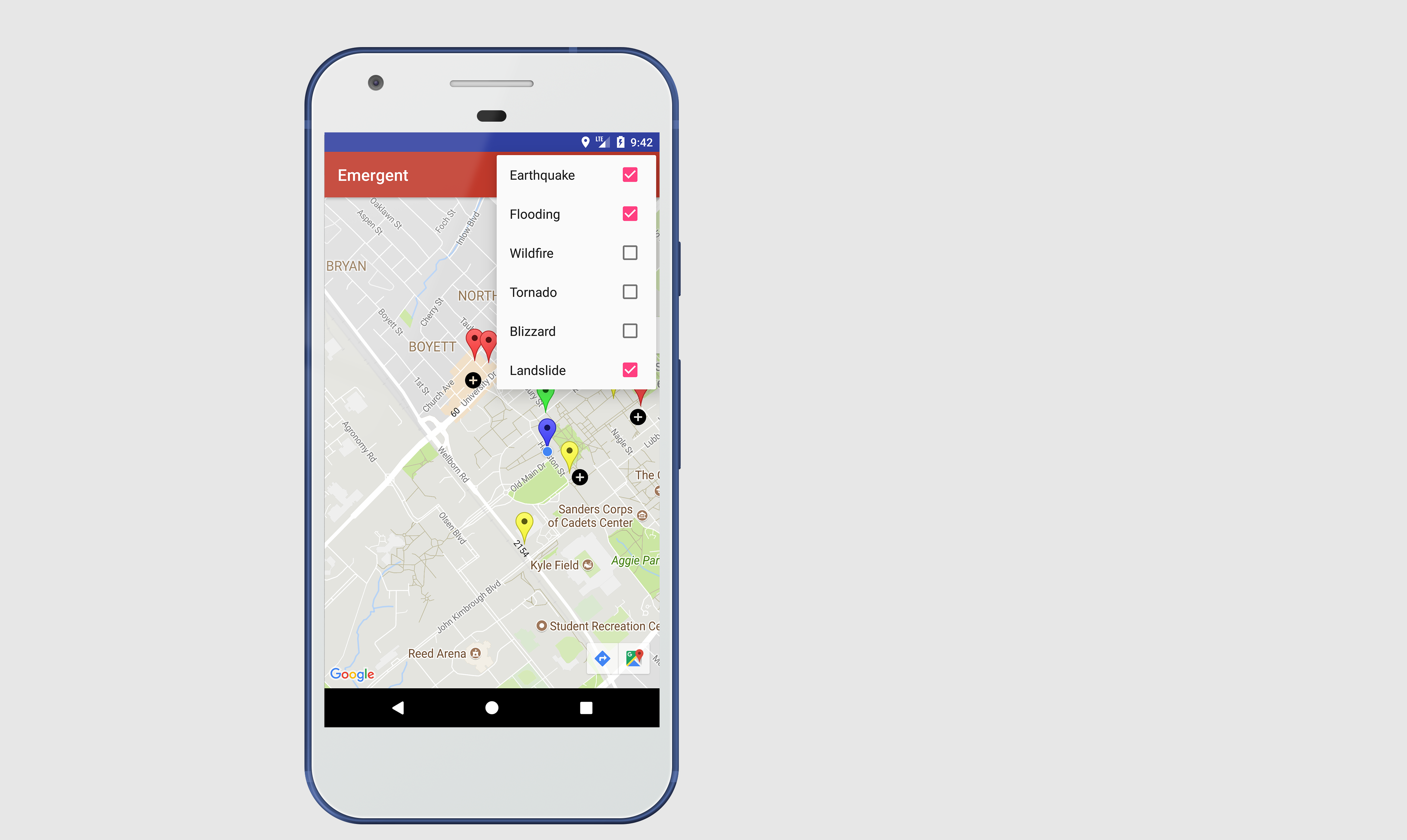
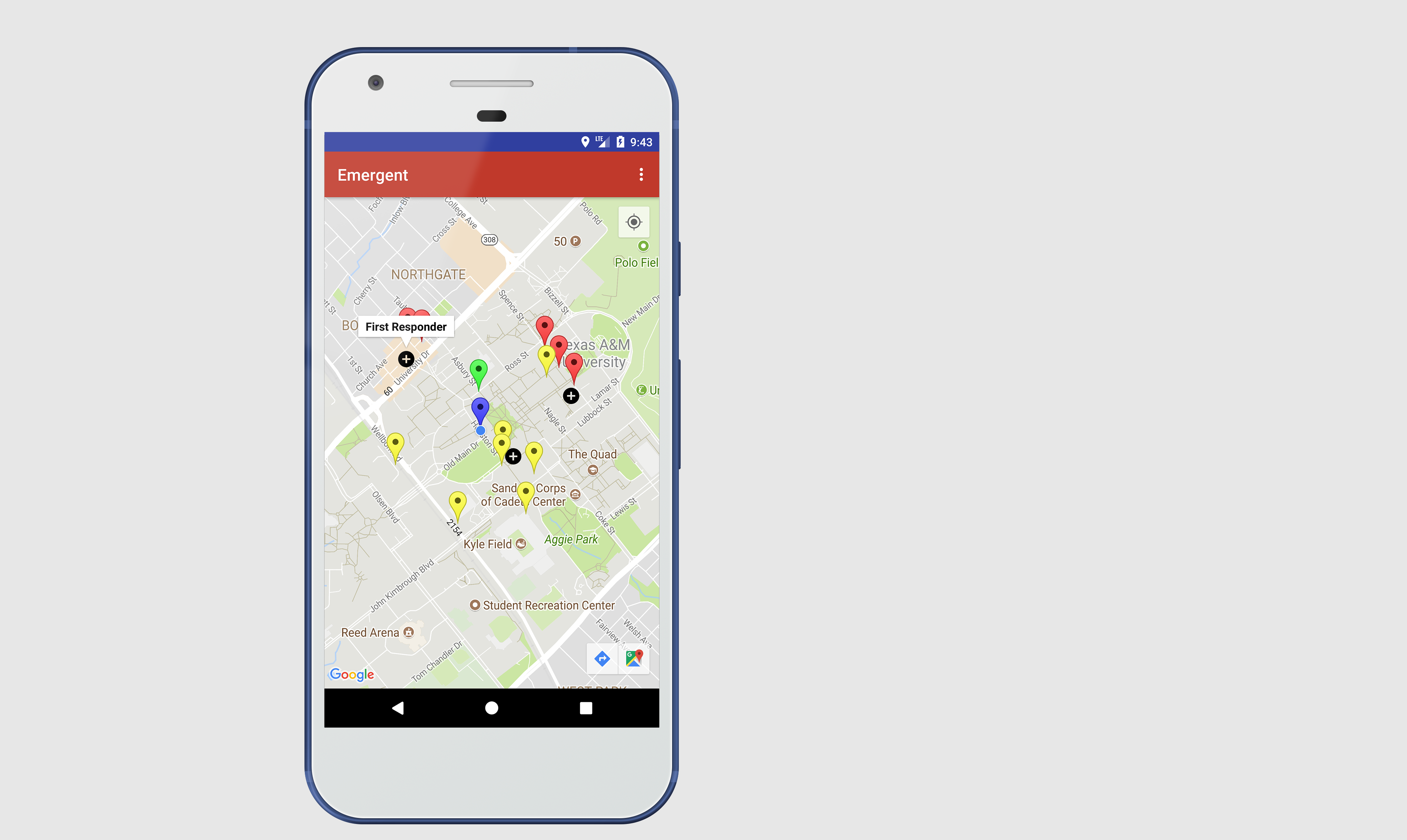
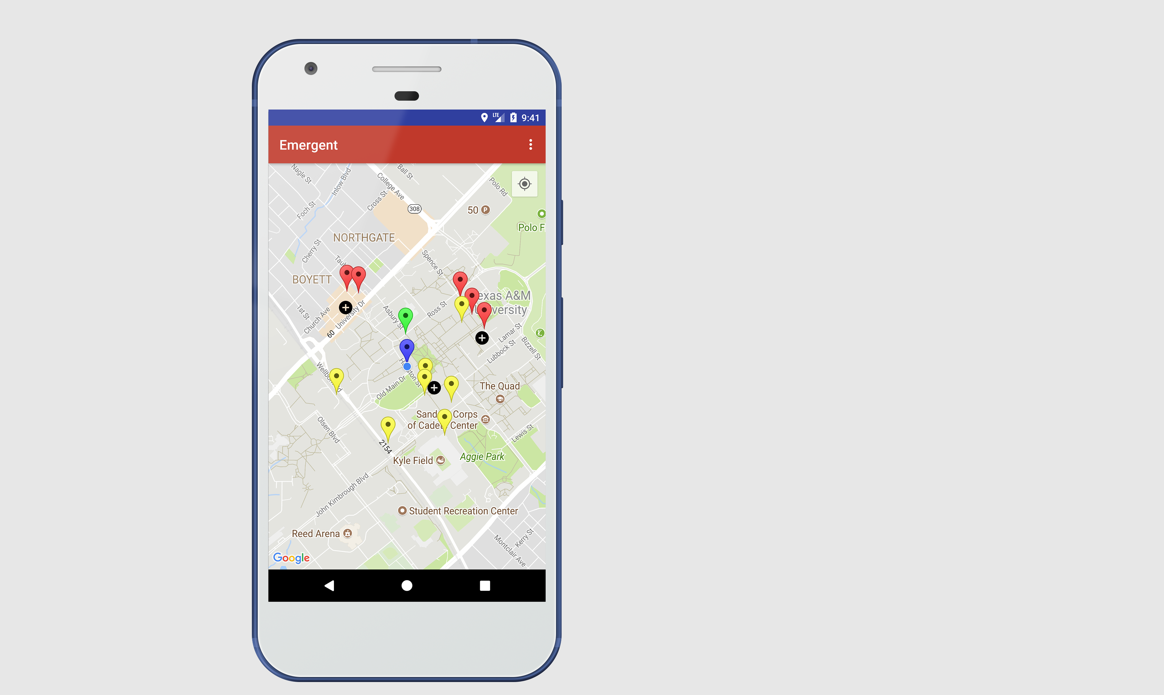
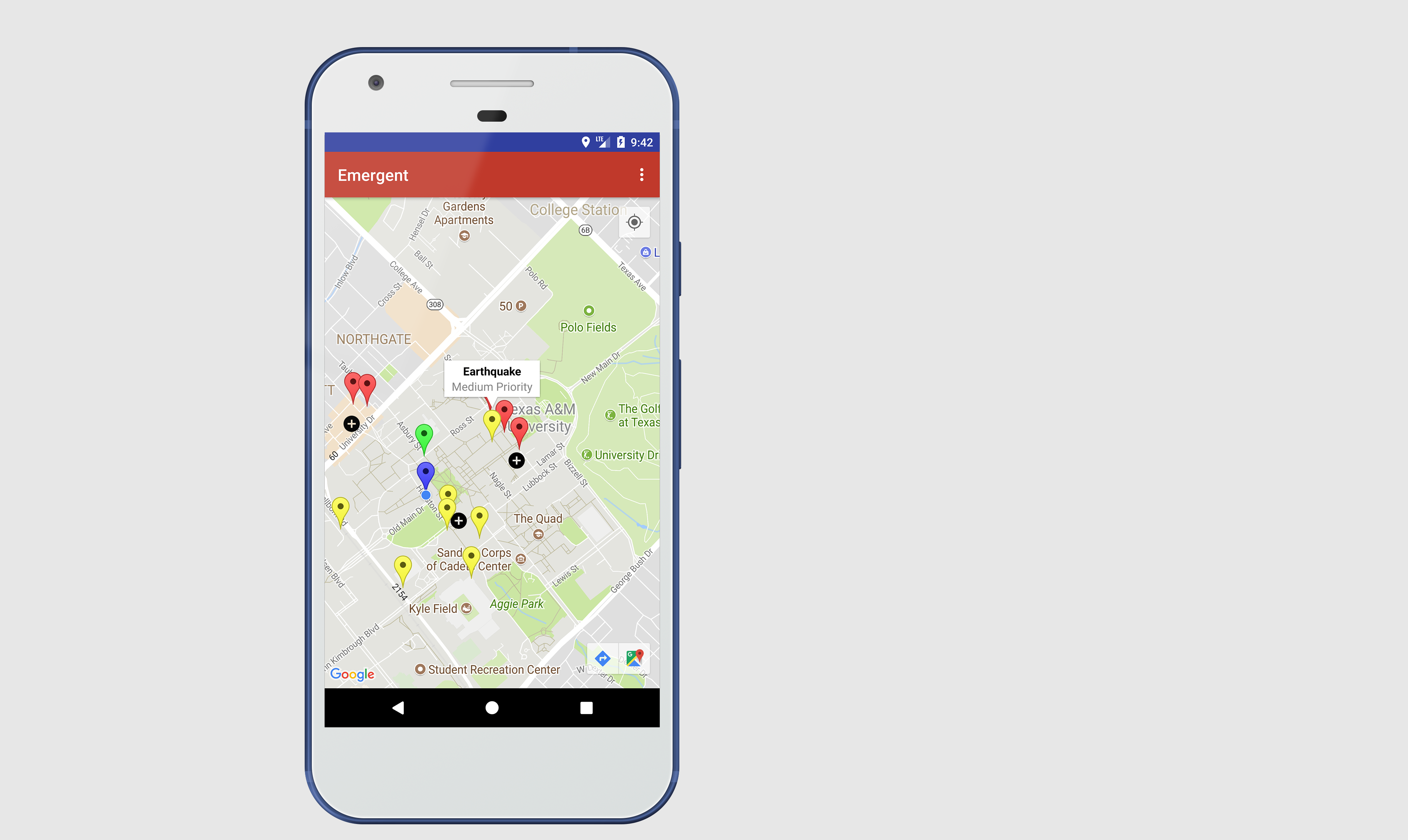
Our app parses through live Twitter feeds and searches for keywords which closely relate to disasters. We detect the geographic location of these tweets and feed all this data into our display. Each point is categorized by the type of natural disaster and rated on a scale ranging from low to high danger.
How we built it
We used a Java library (Twitter4J) to parse through Twitter feeds and input it into our system. We also utilized Google Maps API in order to create an interactive map on the UI of our app.
Challenges we ran into
Time constraints, TwitterAPI limiting our functionality.
Accomplishments that we're proud of
Being able to overcome API limitation and display our data.
What we learned
We learned that it is important to fully read through API documentation before proceeding with the project.
What's next for Emergent
We're seeking to create a viable product that would actually be useful in society. We wish to integrate our app with first-responders and have them maximize the potential of our app, thus improving disaster response times.

Log in or sign up for Devpost to join the conversation.