-

ECU Fletcher Icon
-
Student Recreational Center Icon
-

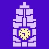
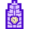
PeeDee Icon
-
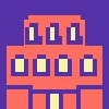
ECU Library Icon
-
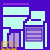
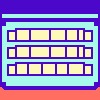
Student Center Icon
-

Bate Building Icon
-
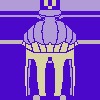
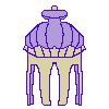
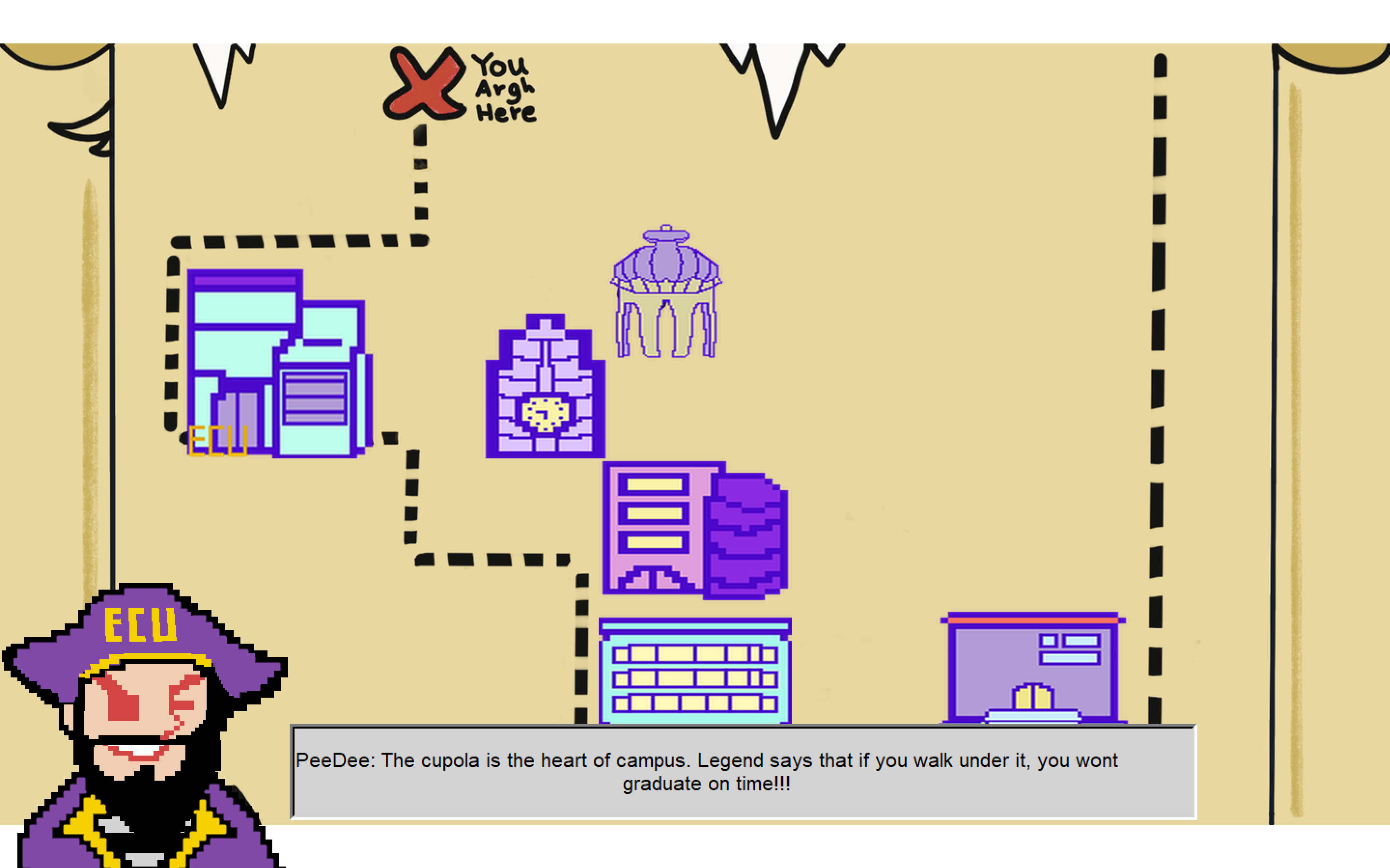
ECU Cupola
-
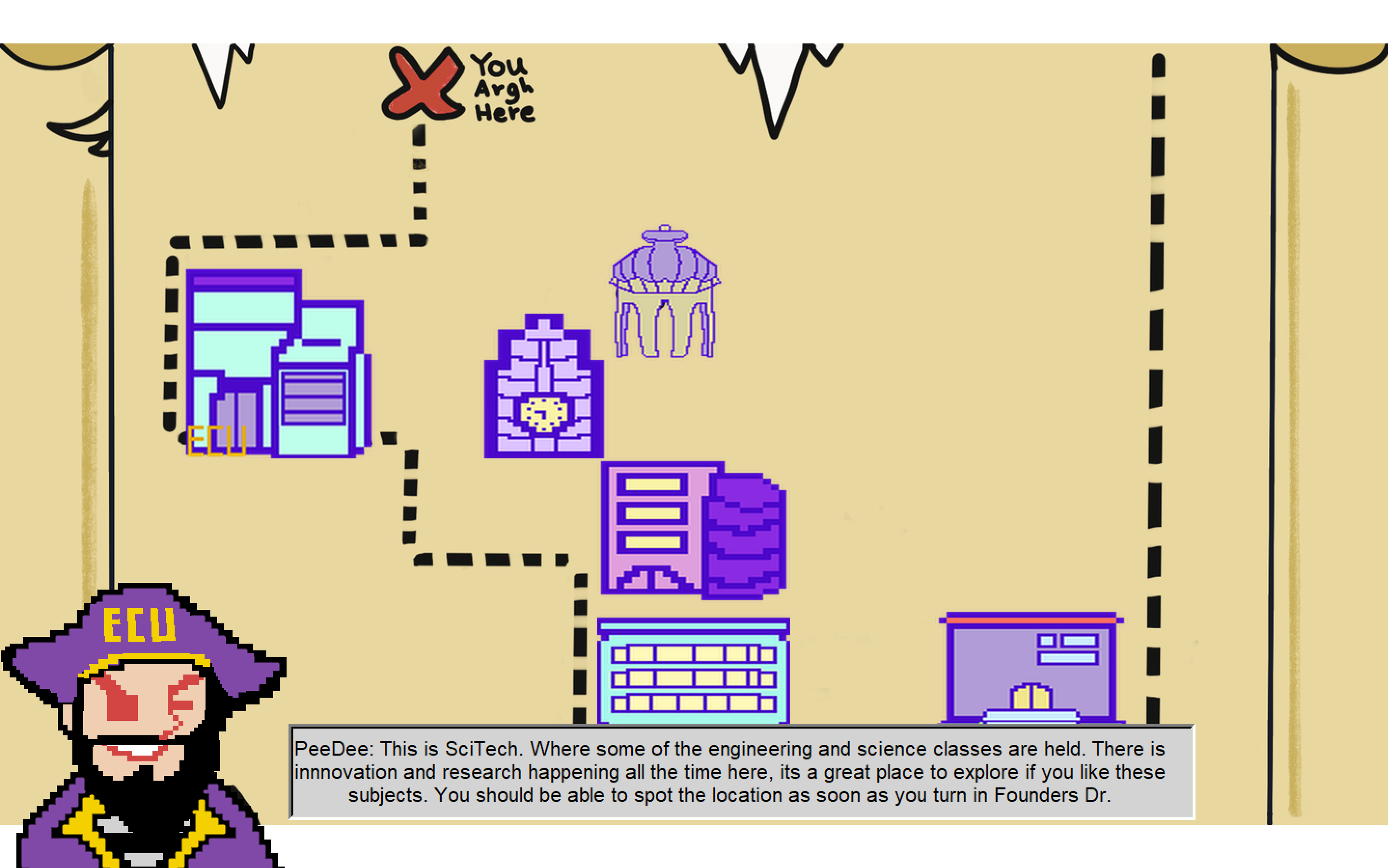
ECU's SciTech Building
-

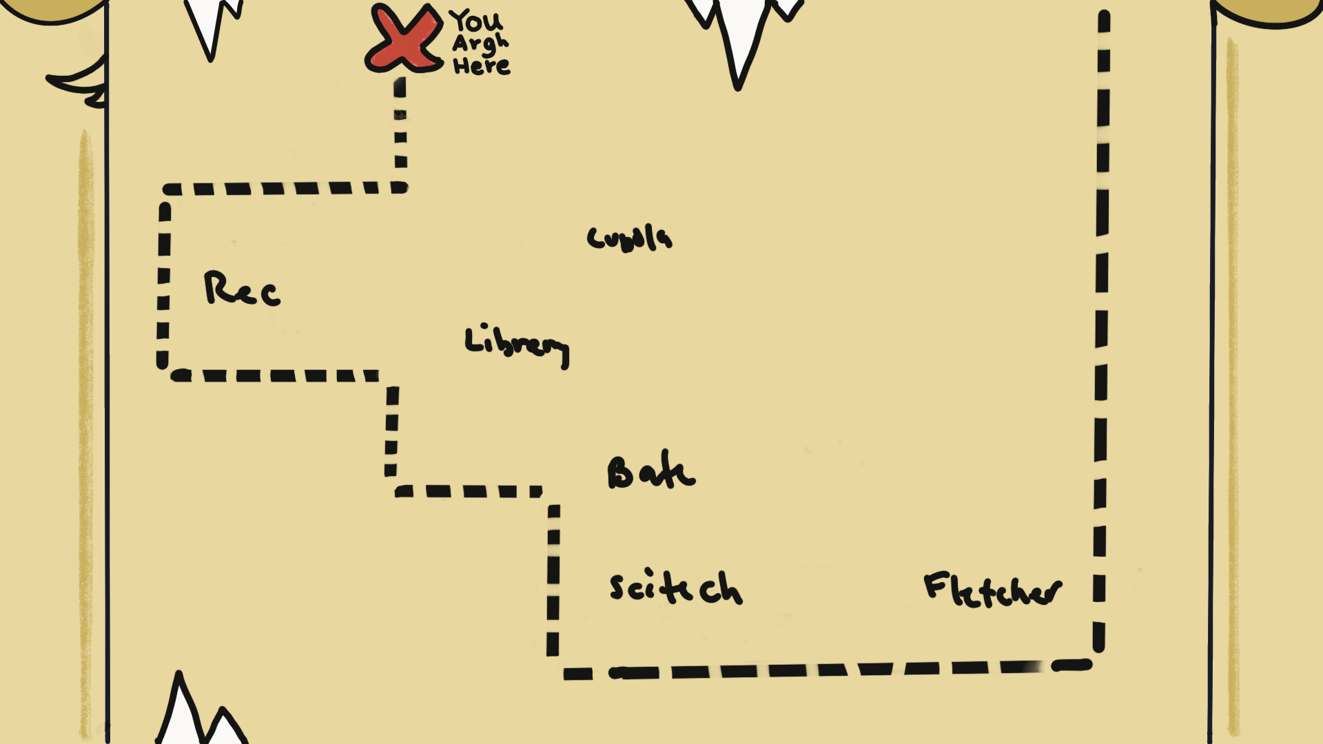
ECU Interactive Map
-

Demonstration 3
-

Demonstration 2
-

Demonstration 1


what inspired you
We saw the current ECU map had a poor GUI, and wanted to create a detailed, organized, and creative way to show the locations on the map.
what you learned
Essentially, the app will show all the buildings on ECU's campus (represented as small icons on the screen). When the user clicks on on of the icons a pop up box appears and ECU's mascot (PeeDee) explains the purpose and history of the building clicked on.
how you built your project
To build we used the programming language Python and two of it's libraries tkinter and Pillow. For the Digital Art we used procreate and ibis paint x.
Challenges we ran into:
Tkinter and Pillow were libraries we were unfamiliar with so overall learning how to use it was a challenge. A few issues we ran into were:
- losing resolution for images we imported
- scaling the images to fit into the screen
- resizing images while maintain aspect ratio
Accomplishments that we're proud of
A few accomplishments we were proud of was figuring out how add the images into Python. Creating the text/pop up boxes with PeeDee explaining the specific building.
What we learned
- Learned how to use a few python libraries
What's next for ECU Interactive Map
The current look of our ECU Interactive Map is on the rougher side, so we'd love to clean it up a bit and give a organized professional look.


Log in or sign up for Devpost to join the conversation.