-
-

Landing Page
-

Inspiration
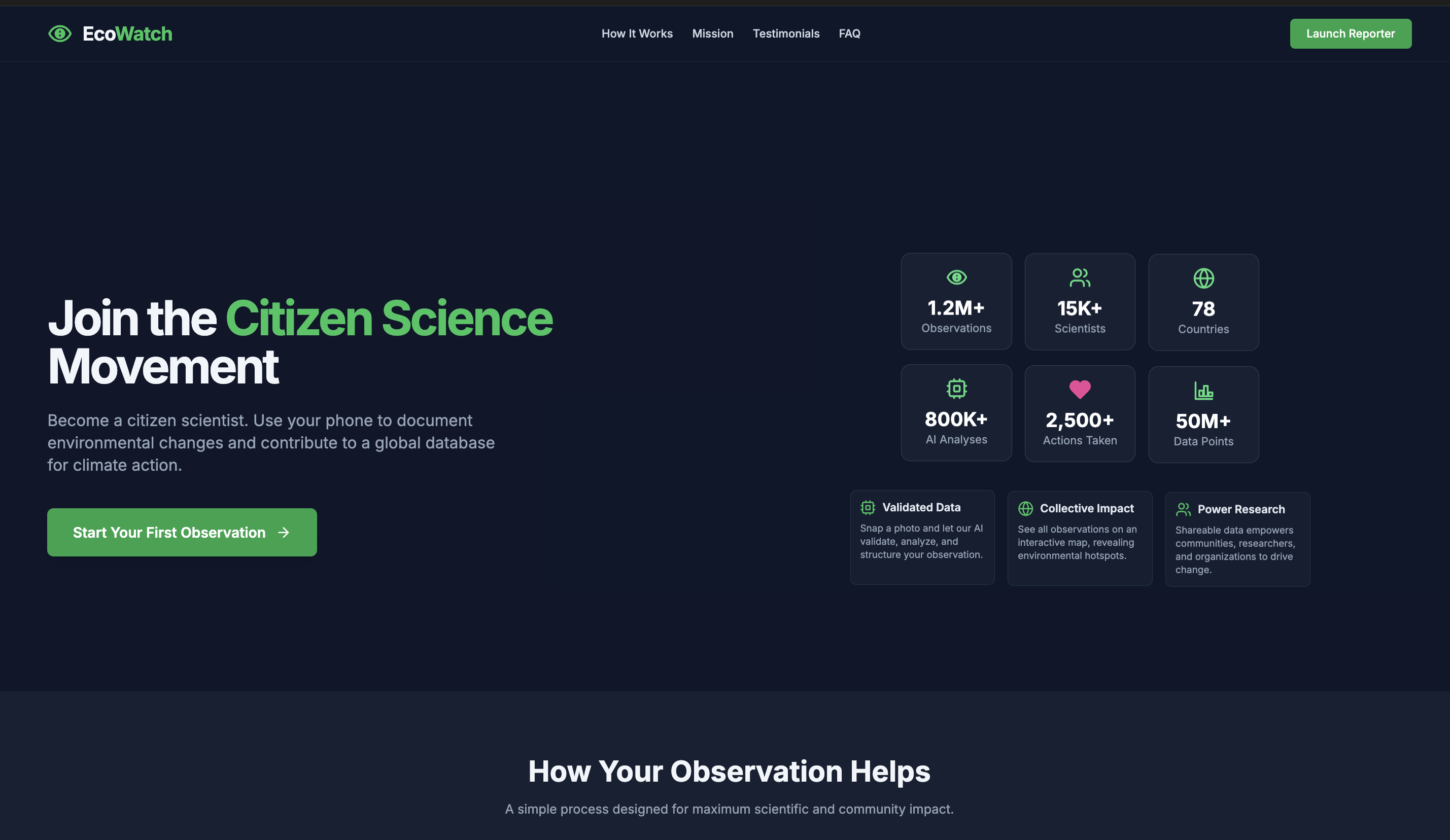
EcoWatch was born from a simple yet urgent observation: climate change is visible, local, and personal—but often undocumented. Citizens witness pollution, erosion, illegal dumping, or deforestation daily, yet lack an accessible tool to report it meaningfully. We wanted to create a movement where everyday people could turn their phones into climate monitoring tools—transforming scattered observations into a powerful, collective dataset.
What it does
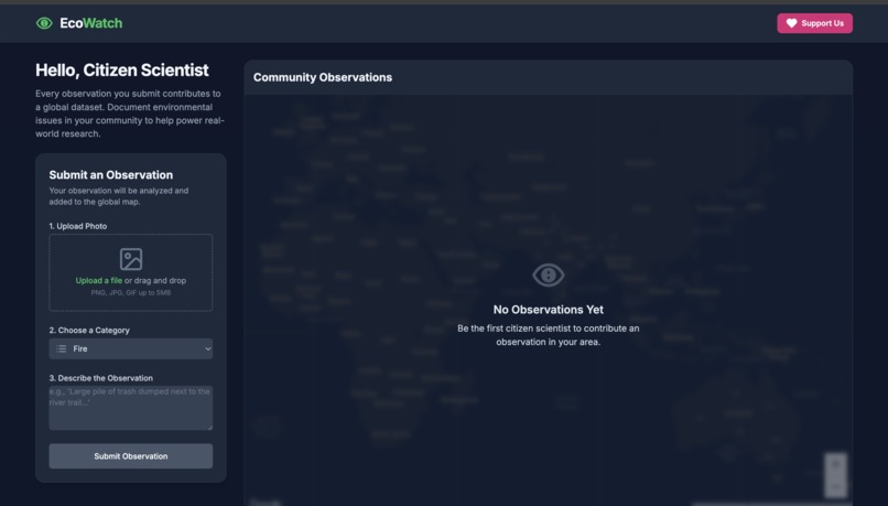
EcoWatch is a citizen science platform that enables anyone to snap, tag, and map local environmental issues. Users take a photo of a climate-related problem (like waste, erosion, flood zones, or deforestation), and our AI model classifies the issue, adds contextual metadata, and geolocates it using the Google Maps Platform.
Each report contributes to a growing real-time map of environmental hotspots, enabling communities, researchers, and policy-makers to respond to problems faster and smarter.
How we built it
We combined several technologies to bring EcoWatch to life:
Google Maps Platform for real-time geolocation, visualisation, and heatmapping
TensorFlow Lite + custom image classifier to recognise types of climate issues from photos
Supabase for storing user submissions and syncing updates across the app
React Native for a simple mobile-friendly front end
Node.js backend for processing, filtering, and reporting data
We trained our image classifier on a dataset of labelled environmental issues (trash, erosion, floods, smoke, tree cutting, etc.) and paired it with natural language processing to extract user comments.
Challenges we ran into
Dataset limitations: Finding and curating a diverse dataset of localised environmental issues was difficult.
AI accuracy: Training the model to distinguish similar scenes (e.g., erosion vs. construction sites) required multiple iterations.
Offline-first design: We wanted EcoWatch to work even with low connectivity, which required caching and background syncing.
Citizen usability: Striking a balance between simplicity and useful data collection was challenging—we didn’t want to overwhelm the user.
Accomplishments that we're proud of
Built a working MVP that detects climate issues from photos with over 80% accuracy. Integrated real-time Google Maps heatmaps based on live citizen submissions. Designed a lightweight reporting flow that even children or elders can use. Received positive feedback from environmental researchers during our early demo tests.
What we learned
People are willing to help if given the right tools. The barrier isn’t motivation—it’s usability. Local issues often go unnoticed by satellite or government monitoring, making citizen-led data incredibly powerful. Smart AI doesn’t replace people—it enhances their ability to contribute meaningfully.
What's next for EcoWatch Inspiration
Add community voting to validate reports and reduce spam. Partner with schools and local NGOs to promote climate reporting as an educational activity. Integrate government dashboards so policy-makers can act on verified reports. Expand our AI to detect temporal patterns (e.g., recurring floods or smog in certain areas). Launch a public API for researchers and journalists to access and analyse the data.
Log in or sign up for Devpost to join the conversation.