-
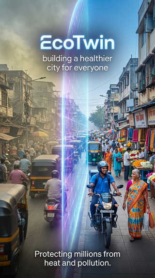
EcoTwin: The Hyperlocal Urban Digital Twin. Building a healthier city for everyone. Powered by Gemini.
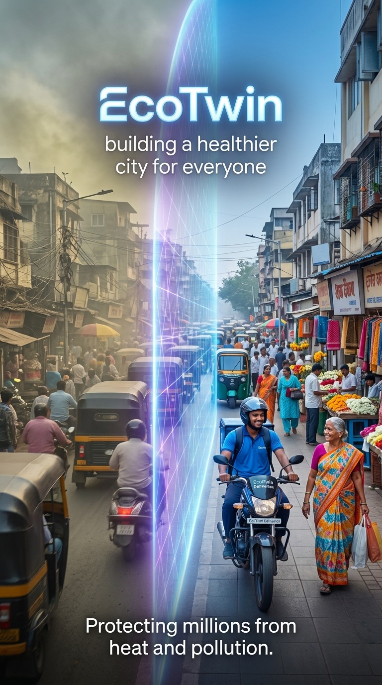
EcoTwin: The Hyperlocal Urban Digital Twin
Building a healthier city for everyone. Powered by Gemini.
Every year, crores of Indians, young and old, suffer due to extreme heatwaves and severe pollution-related illnesses. This problem is only getting worse. According to a brand new research study in August 2026 from Vrije University Brussels, 14.5 Crore Indian children (61% of all Indian children) are exposed to 1 additional month of excess heat annually due to climate change. Traditional environmental tracking relies on sparse, city-wide sensors that can’t tell you what the air or heat is like on your specific street corner. And current safety efforts are mostly reactive, with help arriving too late, if at all.
Now, imagine a new world where you could access a perfect digital twin - like Gemini - that knows everything happening in your city down to the micro-location level and can help protect you.
Introducing EcoTwin, an intelligent, real-time digital twin, powered by Gemini, designed to protect urban populations. While EcoTwin will initially combat immediate crises like heatwaves and toxic pollution, it is architected as an extensible city operating system capable of expanding to solve broader urban challenges—such as tracking micro-drainage waterlogging during monsoons, monitoring localized noise pollution, and managing urban green-space deficits.
To bring this to life, EcoTwin integrates Google and Gemini technology directly into every layer of its lifesaving features:
- Instant Multimodal Hazard Assessment (Gemini 3.5 Flash & Vision): Anyone can snap a photo of their immediate surroundings and upload it to EcoTwin. Powered by Gemini’s native multimodality, EcoTwin instantly analyzes the image to recognize localized dust levels, sun exposure, or industrial smoke, instantly returning tailored safety precautions and hazard ratings for that exact spot.
- Proactive Micro-Guidance & Navigation (Gemini API + Google Maps Platform): EcoTwin goes beyond passive data tracking by actively protecting vulnerable people on the move. For instance, if an elderly citizen is walking outside during a heat spike, the system triggers a proactive notification guiding them to a nearby shaded zone—like a local chai dukaan—complete with turn-by-turn routing via the Google Maps Platform.
- Real-Time Worker Protection (Managed Agents in Gemini API): For delivery drivers and outdoor laborers caught in dense traffic pollution, EcoTwin deploys automated agents to dispatch context-aware alerts. It might notify a driver: "Hazardous pollution detected ahead at the next intersection; pull over safely to the nearby bus stand 500 meters on the left to put on your face mask."
- Native Multimodal Hyper-Personalization (Real-time translation and multimodal in Gemini API): All alerts and notifications are available in local dialects with voice overs so those who find it hard to read can immediately get life-saving guidance. For instance, elderly citizen might get a message read out to them in Hindi or a delivery driver could get a message in Telugu based on their phone settings and preferences.
- Scalable City Intelligence (Google Earth Engine & BigQuery GIS): To maintain accuracy across millions of micro-locations, EcoTwin continuously ingests massive geospatial datasets. It pairs satellite telemetry from Google Earth Engine with real-time traffic and weather metrics processed via BigQuery GIS, giving city planners a unified, live dashboard to optimize urban forestry, deploy cooling stations, and protect public health before thresholds are breached.
EcoTwin leverages Gemini to deliver proactive, life-saving action to build a safer, healthier city for everyone.
Built With
- gemini
- gemini-api
- gemini-flow
- google-cloud
- google-maps
- nano-banana
- veo3.1

Log in or sign up for Devpost to join the conversation.