-
-
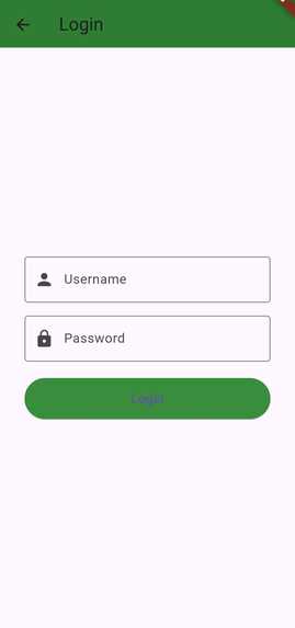
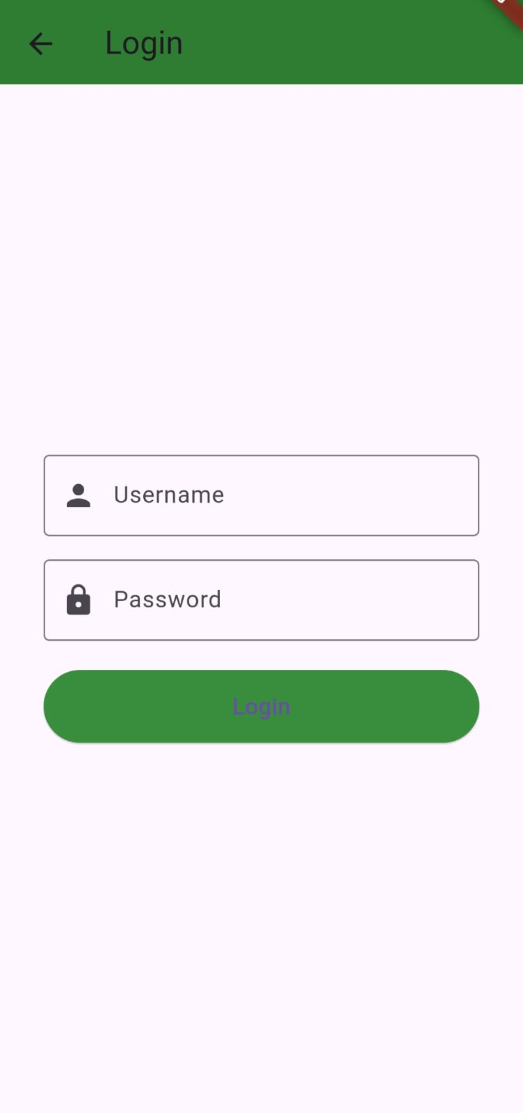
Login Page
-
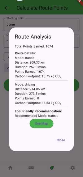
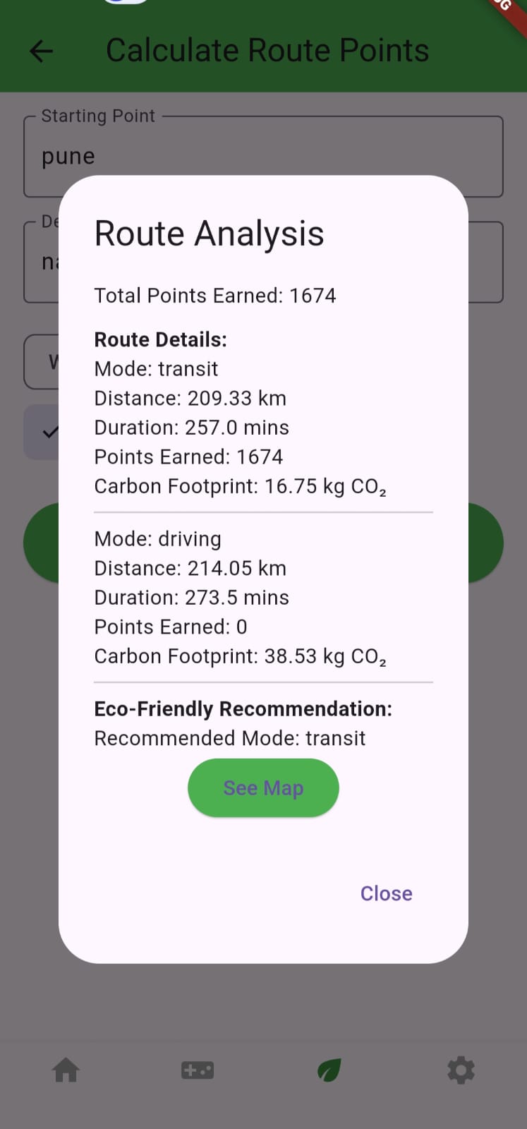
Route details for each mode selected
-
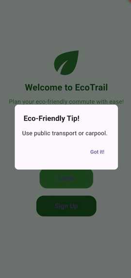
Login/Signup with a eco-friendly tip
-
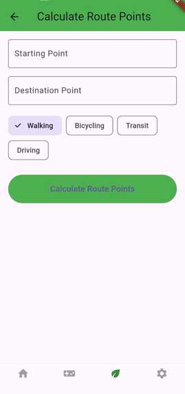
Take input from user for giving route details and eco friendly recommendations
-
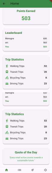
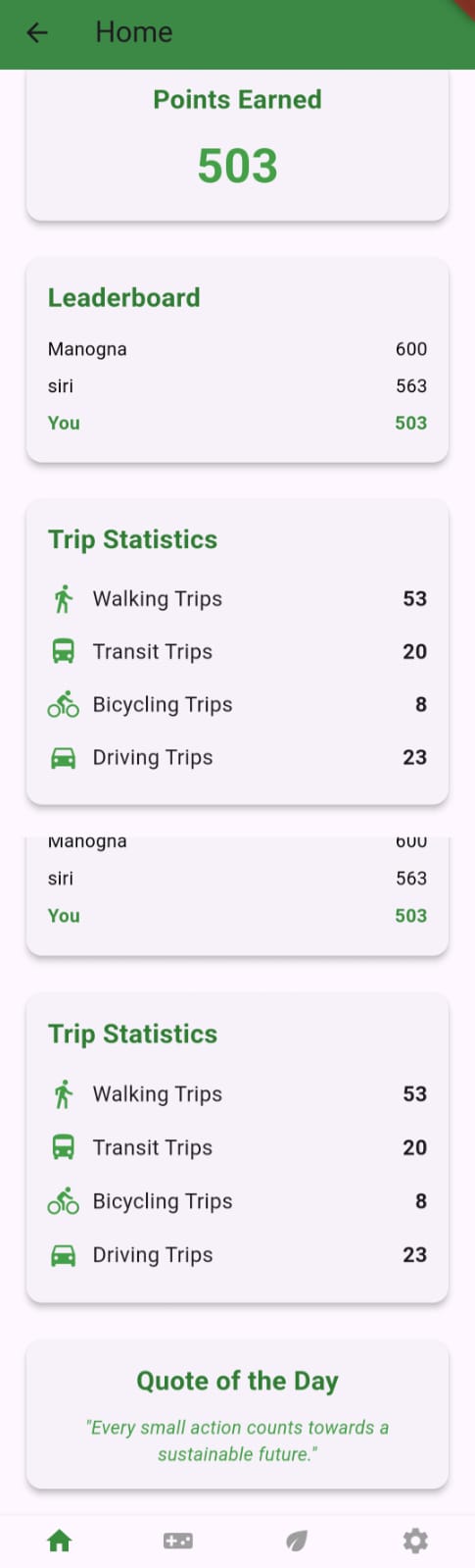
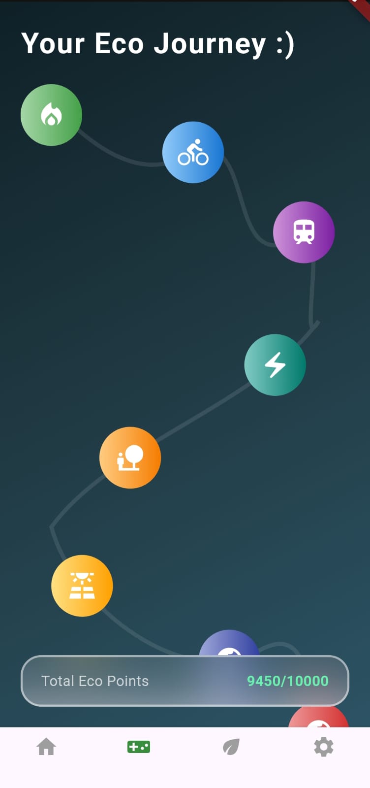
Home page with points, leaderboard, progress tracking and quote for the day
-
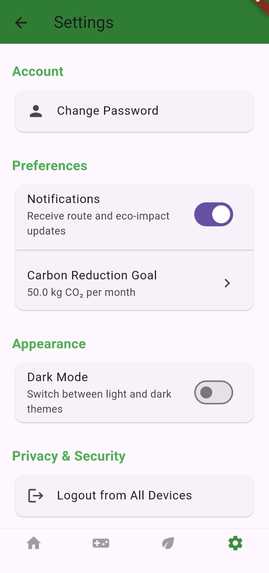
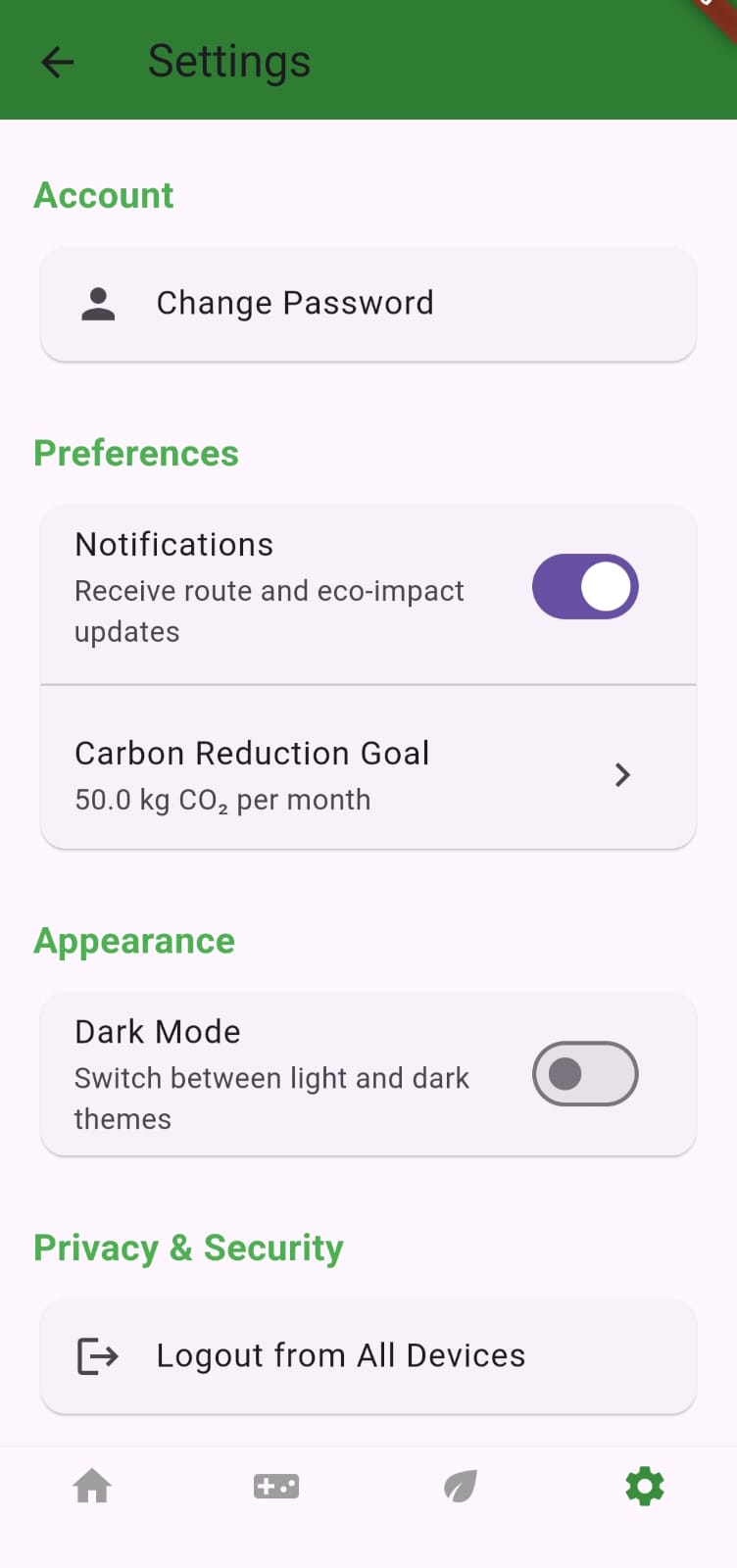
Settings page for updating password, carbon content, notifications etc.
-
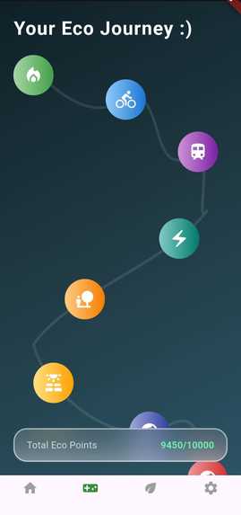
Game page for badges
-
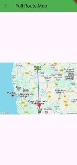
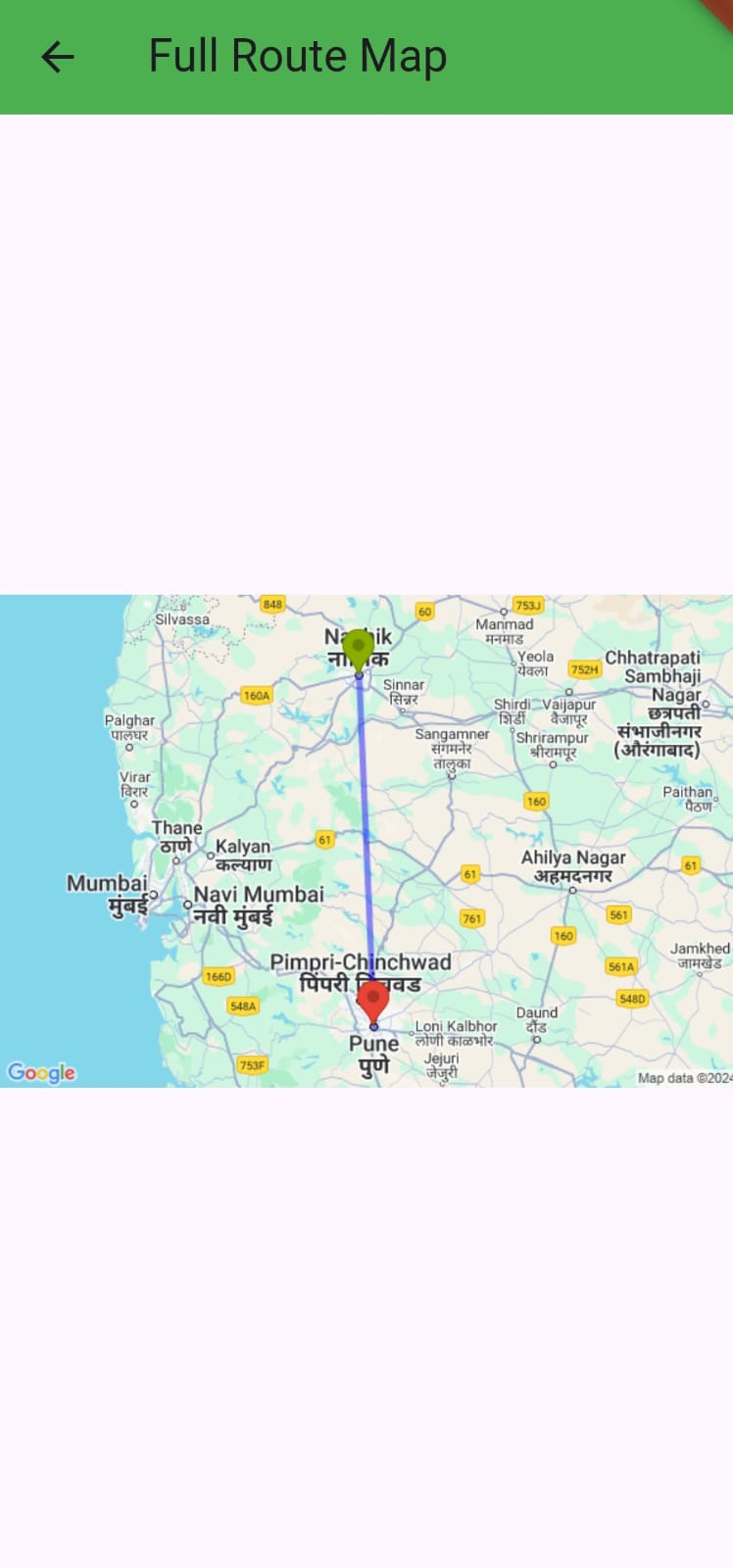
Visualized representation of places on map


Inspiration
The inspiration for EcoTrail came from our growing interest in sustainability and the desire to make a meaningful impact on how people commute daily. We noticed how small changes in transportation choices could reduce carbon footprints and contribute to a healthier planet. We wanted to create a tool that not only helps users find the most optimal and eco-friendly routes but also encourages them to make greener choices. By gamifying the process and incorporating daily eco-friendly tips, EcoTrail aims to make sustainability both fun and achievable.
What it does
EcoTrail is an eco-friendly commute planner app that helps users plan the most sustainable route from their source to their destination. The app allows users to input their travel details, such as starting point, destination, time, and preferred mode of transport (e.g., walking, cycling, or public transit). Based on this information, EcoTrail provides optimal routes with real-time data, showing not only the quickest path but also the environmental impact of each mode of transport. Users can track their sustainability points, earn badges for eco-friendly travel behavior, and compete on the leaderboard, making it more engaging. The app also sends daily eco-friendly quotes/tips to motivate users toward greener habits.
How we built it
EcoTrail was developed using a combination of technologies. The front-end of the app is built using Flutter, allowing for a smooth and user-friendly interface. We utilized the Google Maps API for route planning and mapping, which helped display accurate, real-time travel paths and carbon footprint data for various modes of transportation. MongoDB is used to store user data, sustainability points, and badge achievements. The backend is powered by Flask, which handles API requests, processes user input, and manages the logic behind the sustainability scoring system.
Challenges we ran into
The biggest challenge during development was integrating the Google Maps API to render real-time routes and calculate carbon footprints for different modes of transport. This was our first time working with a maps API, and there was a learning curve in understanding how to process and display this data dynamically. Additionally, designing a clean user interface while displaying multiple layers of information, such as route data and environmental impact, was tricky. The balance between functionality and simplicity was hard to achieve, but it made us rethink how to present information clearly to users.
Accomplishments that we're proud of
We are proud of the seamless integration of the Google Maps API for real-time route planning, which allows users to compare travel options based on time and carbon footprint. The gamification elements, such as the badges and leaderboard, added an engaging layer to the app, encouraging users to make eco-friendly choices consistently. Additionally, the daily tips and quotes provide daily motivation to users and contribute to the app’s holistic approach to sustainability. Ultimately, we are proud of creating an app that combines environmental consciousness with user engagement.
What we learned
Throughout this project, we learned a lot about working with APIs, especially Google Maps for route planning and integrating real-time data into a mobile app. We also gained experience in designing user interfaces that balance both functionality and simplicity. The backend with Flask and MongoDB helped us understand how to manage and store user data efficiently while creating a smooth and dynamic user experience. Most importantly, we learned how to create an app that not only addresses real-world problems but also engages users in a fun, rewarding way.
What's next for EcoTrail
In the future, we plan to make EcoTrail even more dynamic and real-time. For instance, we could add features that provide ongoing suggestions based on the user's current location, like "There’s a bike station 2 kilometers away." This would help users make spontaneous decisions and further encourage eco-friendly behaviors. Additionally, we could integrate live traffic data to offer real-time updates on the most optimal route options, ensuring that EcoTrail continues to provide value even when the user isn't actively planning a route.


Log in or sign up for Devpost to join the conversation.