Inspiration
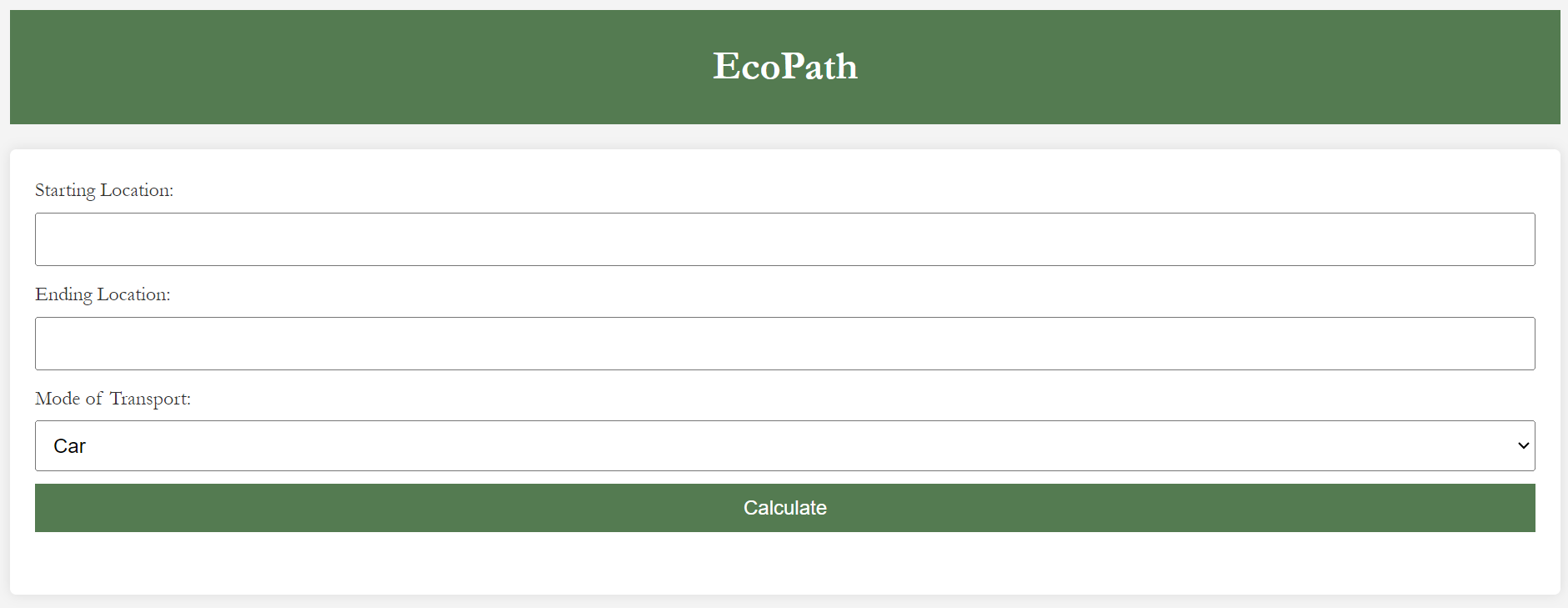
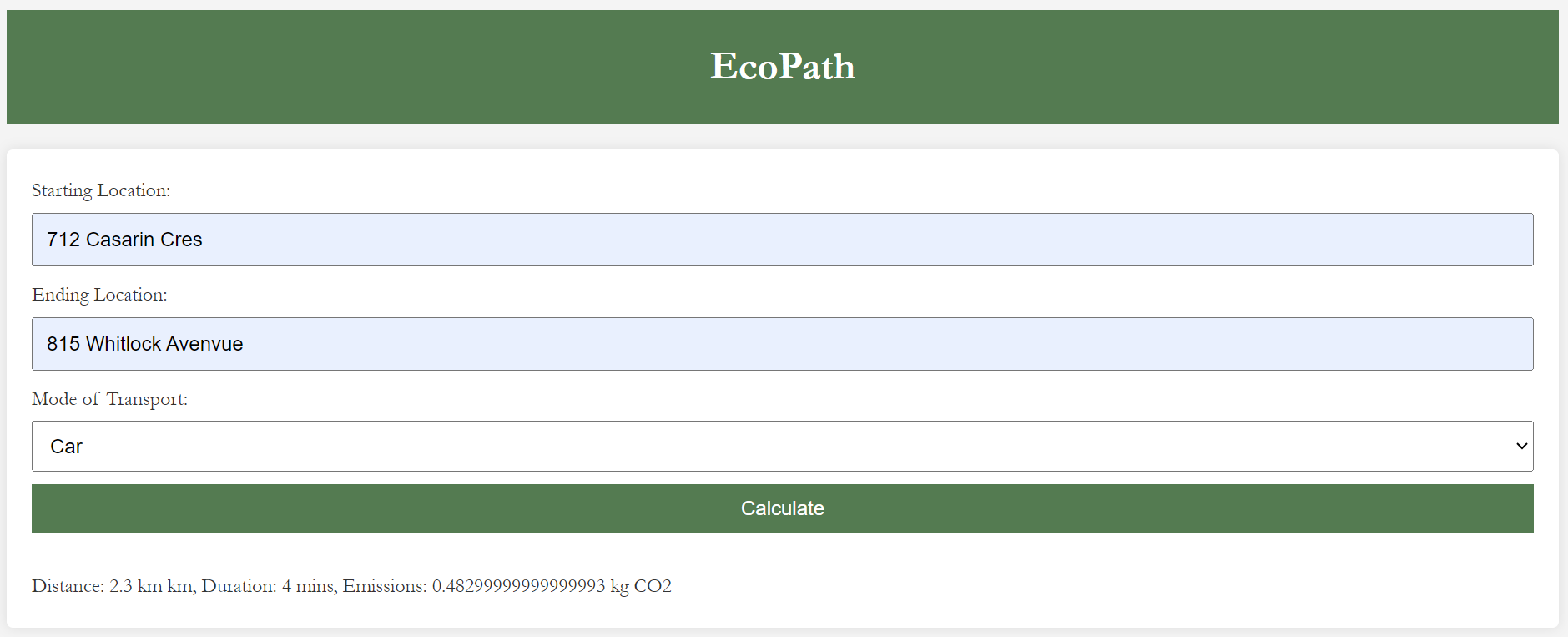
As climate change concerns grow, individuals and organizations are increasingly aware of their carbon footprints. However, many lack easy access to information about the environmental impact of their travel choices. Just enter the start and end points of travel and our app will display the carbon for many forms of transportation!
What it does
- Integrates an interactive map for easy navigation and better user experience.
- Allows input of start points and destination addresses.
- Uses Google Maps API to find the fastest route to your destination for various modes of transportation.
- Uses average values of fuel type, efficiency, and carbon emissions per fuel burned to calculate emissions for various modes of transportation.
What's next for EcoPath
- Display routes on the map
- Add additional transportation options
- More accurate carbon calculator

Log in or sign up for Devpost to join the conversation.