-
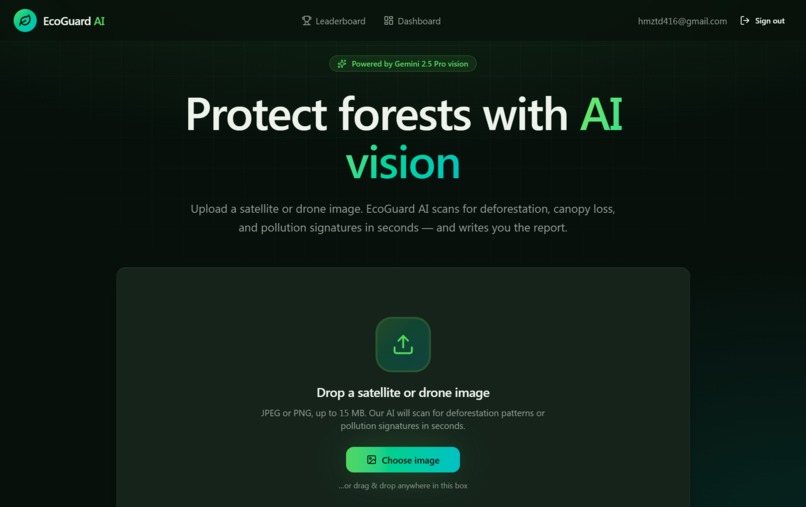
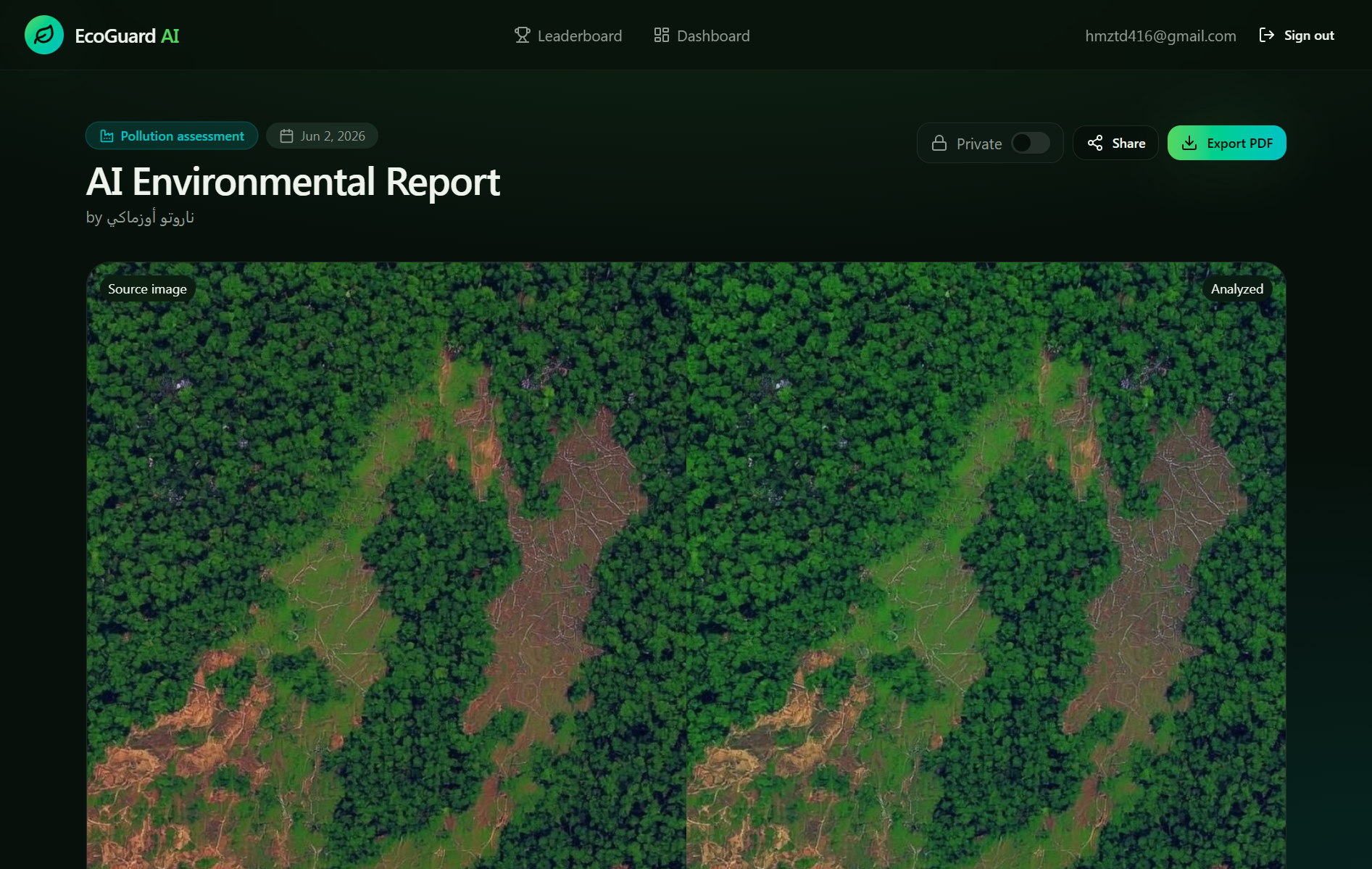
Website interface
-
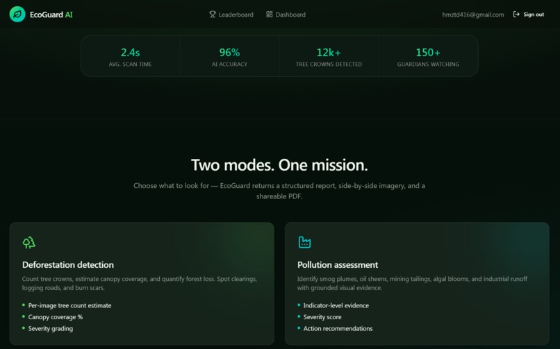
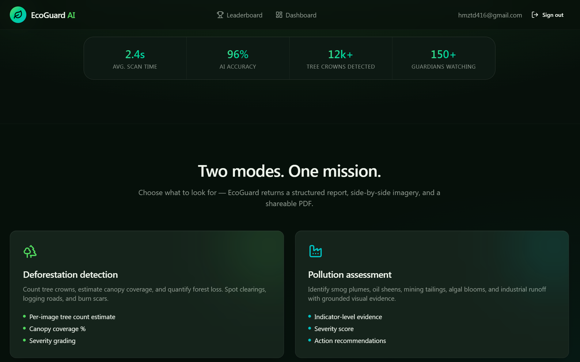
Two modes. One mission.
-

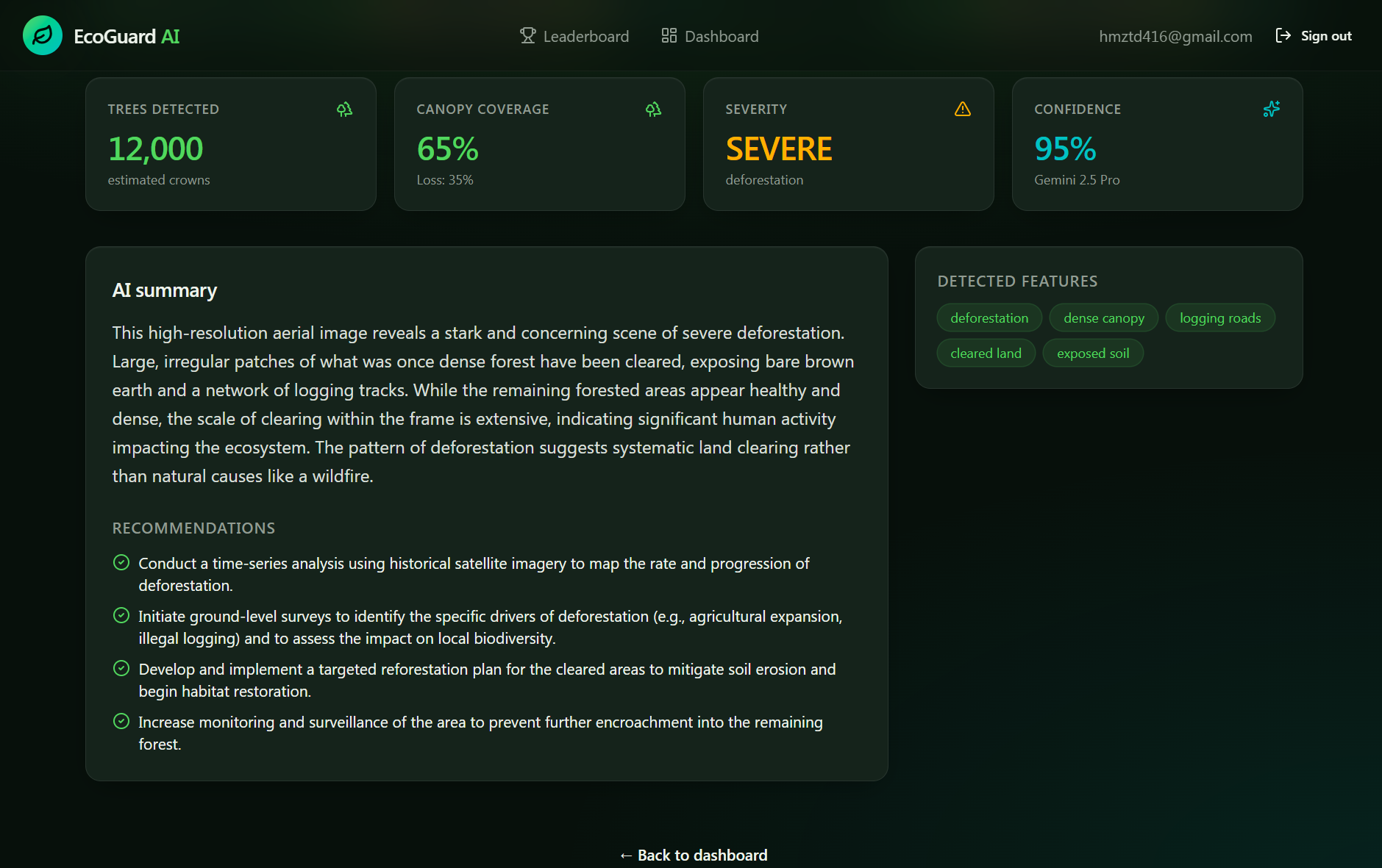
Deforestation detection
-
Deforestation detection Count tree crowns, estimate canopy coverage, and quantify forest loss. Spot clearings, logging roads, etc
-

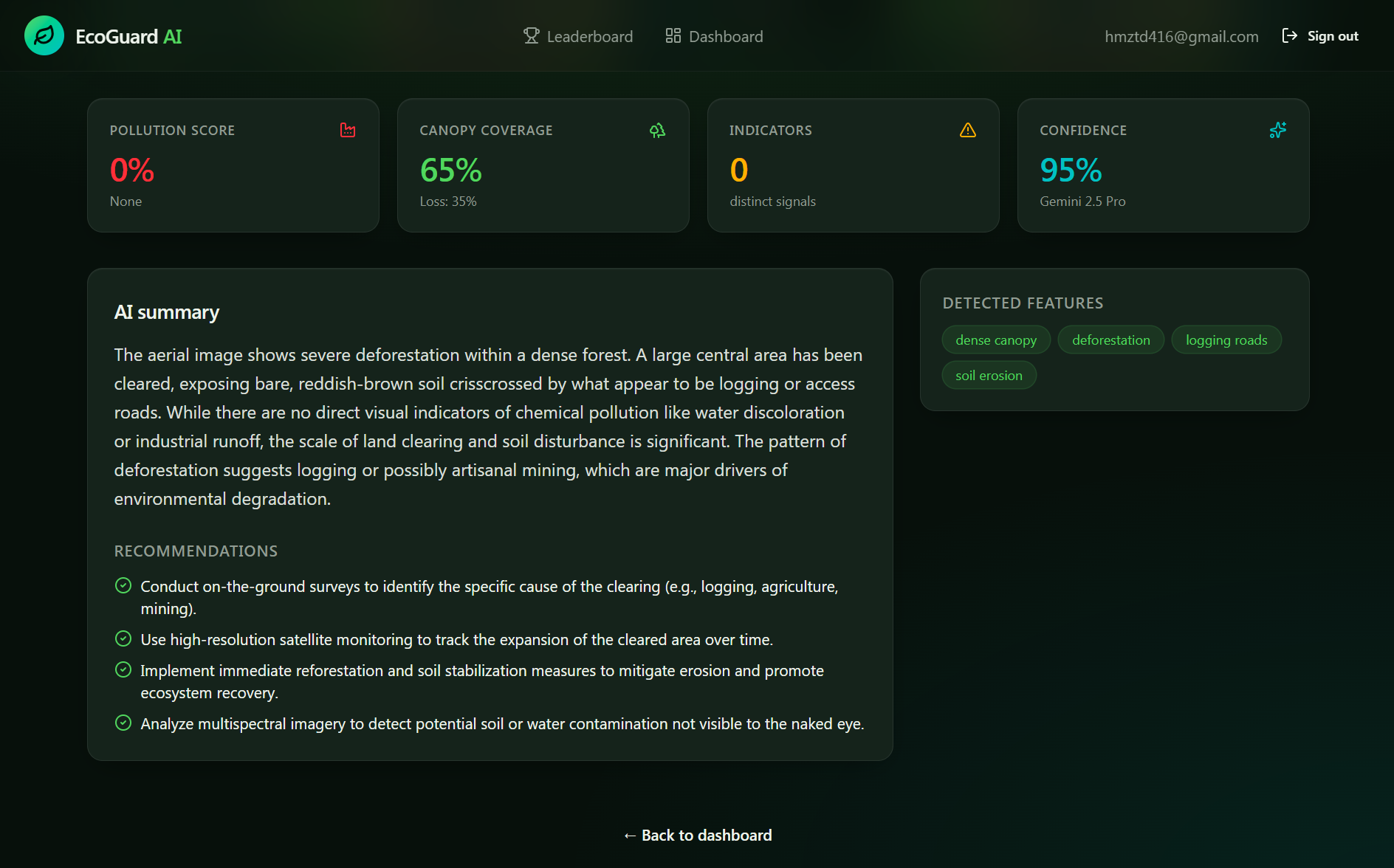
Pollution assessment
-
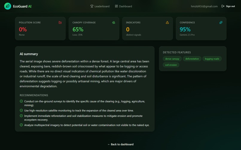
Pollution assessment Identify smog plumes, oil sheens, mining tailings, algal blooms, and industrial runoff with grounded visual evidence
-
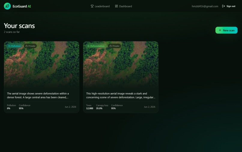
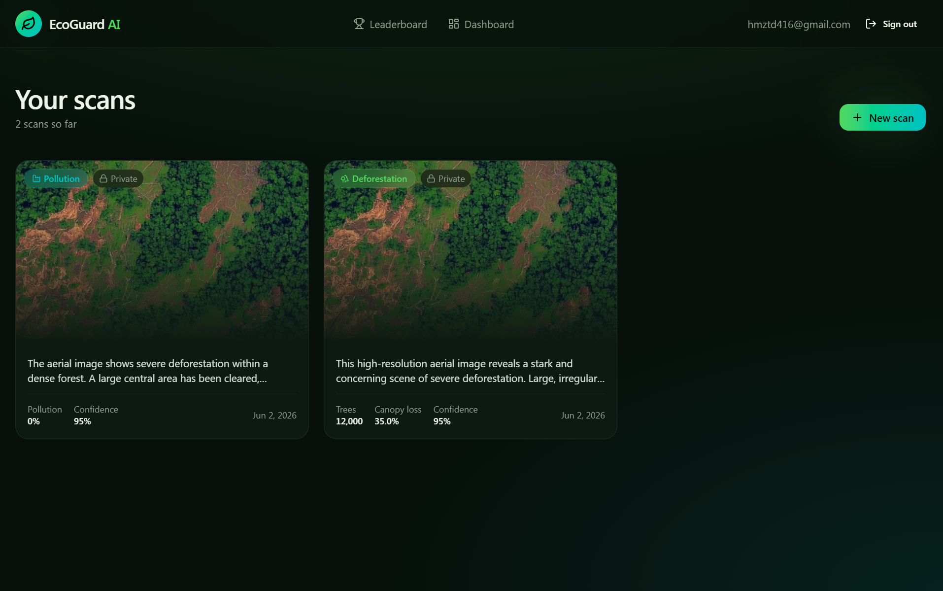
Your scans No scans yet — let's protect some forests
-

Guardians leaderboard The most active environmental guardians on EcoGuard AI.
-
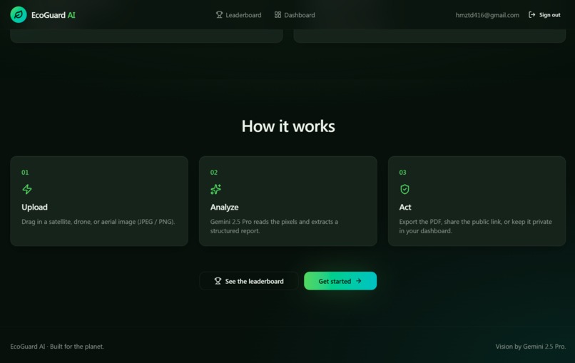
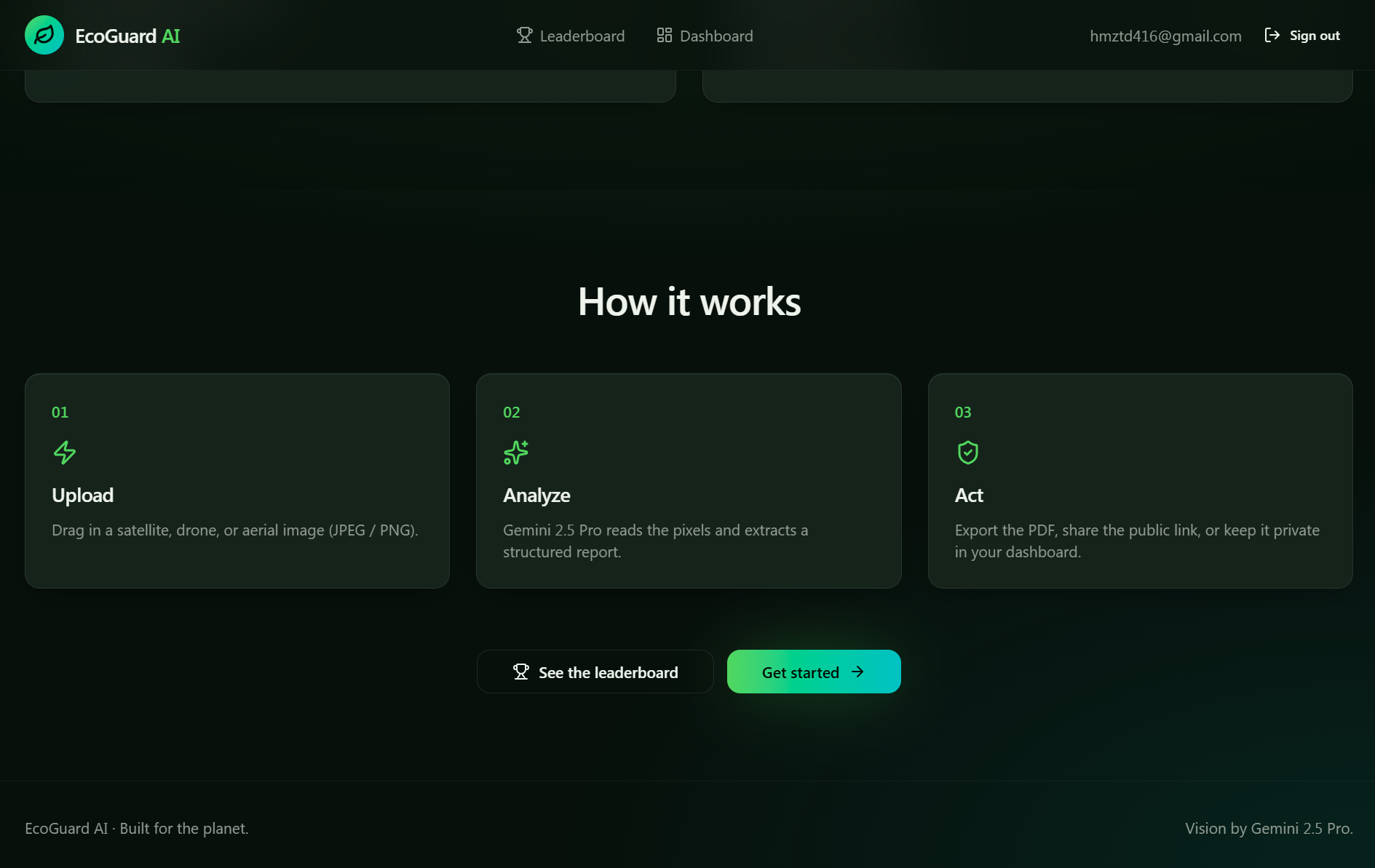
How it works


Inspiration
I am Egyptian, and Egypt is not known for its forests. However, I have relatives in Brazil, and during my visit last year, I saw with my own eyes the scale of the environmental disaster happening in the Amazon rainforest. I watched large areas transform from dense forests into barren land due to illegal logging, agriculture, and mining.
That scene deeply affected me and made me think: how can we use artificial intelligence to help monitor and protect such vital forests for our planet?
That's how the idea of EcoGuard AI was born — a simple yet powerful tool that allows anyone (researcher, environmental activist, or ordinary citizen) to upload a satellite or drone image and know within seconds whether deforestation is happening in that area.
What we built
We built a complete web platform that allows users to:
- Upload satellite or drone images easily
- Analyze the image using advanced vision models
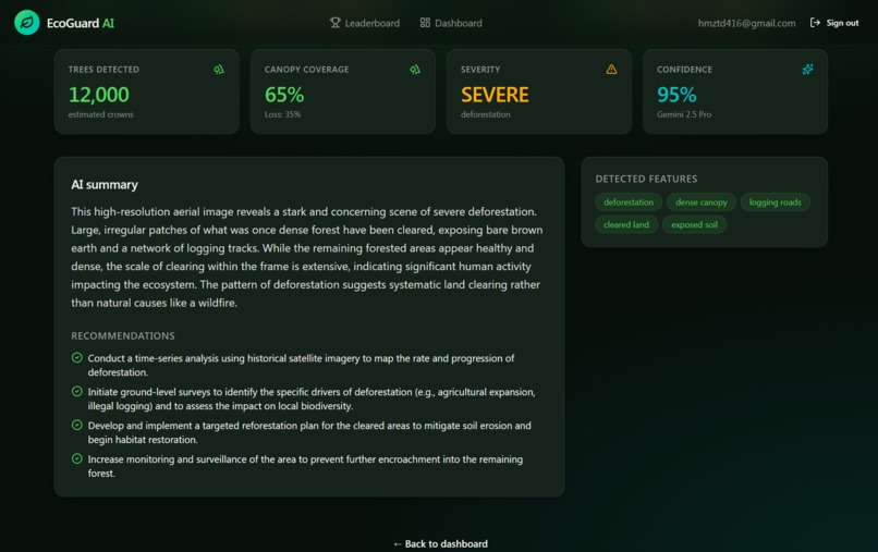
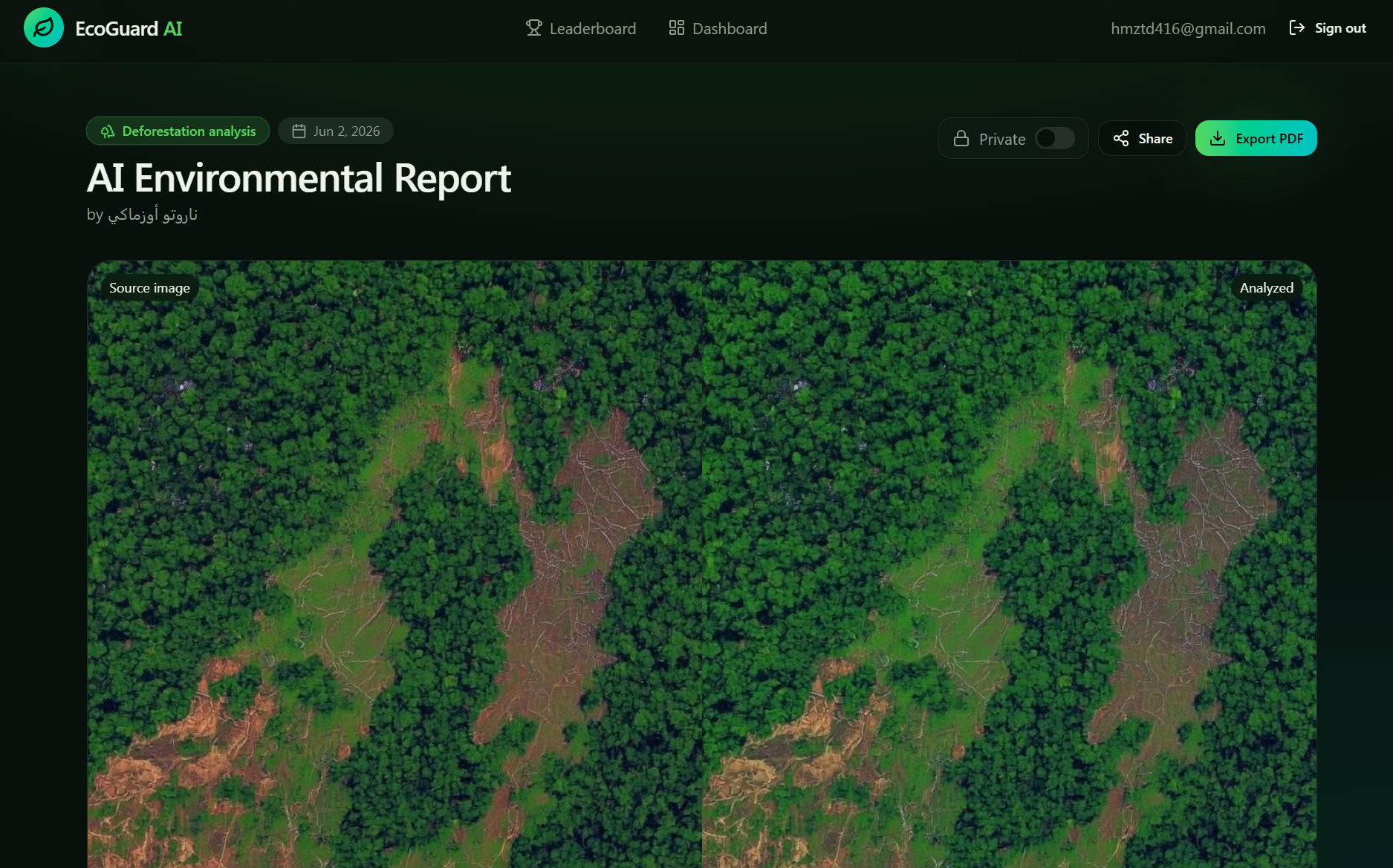
- Receive a detailed report containing tree loss percentage, estimated tree count, and environmental analysis
Technical Features
- Modern Dark Forest design
- Professional PDF report export
- Personal dashboard + analysis history
- Interactive map
- Full Arabic & English support
How we built it
- Next.js 15 + TypeScript – Frontend framework
- Supabase – Database & authentication
- Lovable AI (Gemini) – Image analysis & deforestation detection
- Tailwind CSS + Shadcn/ui – Styling & components
- Leaflet Maps – Interactive mapping
- jsPDF – PDF report generation
Challenges we faced
- Making the analysis as accurate as possible on satellite imagery
- Building an easy-to-use interface for non-technical people
- Completing the project in a short time
What we learned
Using AI models for aerial image analysis, integrating interactive maps with analysis data, and the importance of building a user experience that works for everyone regardless of their technical background.
The story behind EcoGuard AI
EcoGuard AI started from a personal experience in the Amazon, and our goal is to help protect the world's most important forests using artificial intelligence.
Built With
- gemini-ai
- lovabl
- next.js
- supabase
- tailwind-css


Log in or sign up for Devpost to join the conversation.