-
-
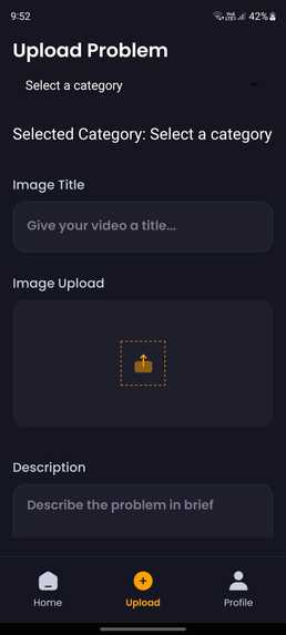
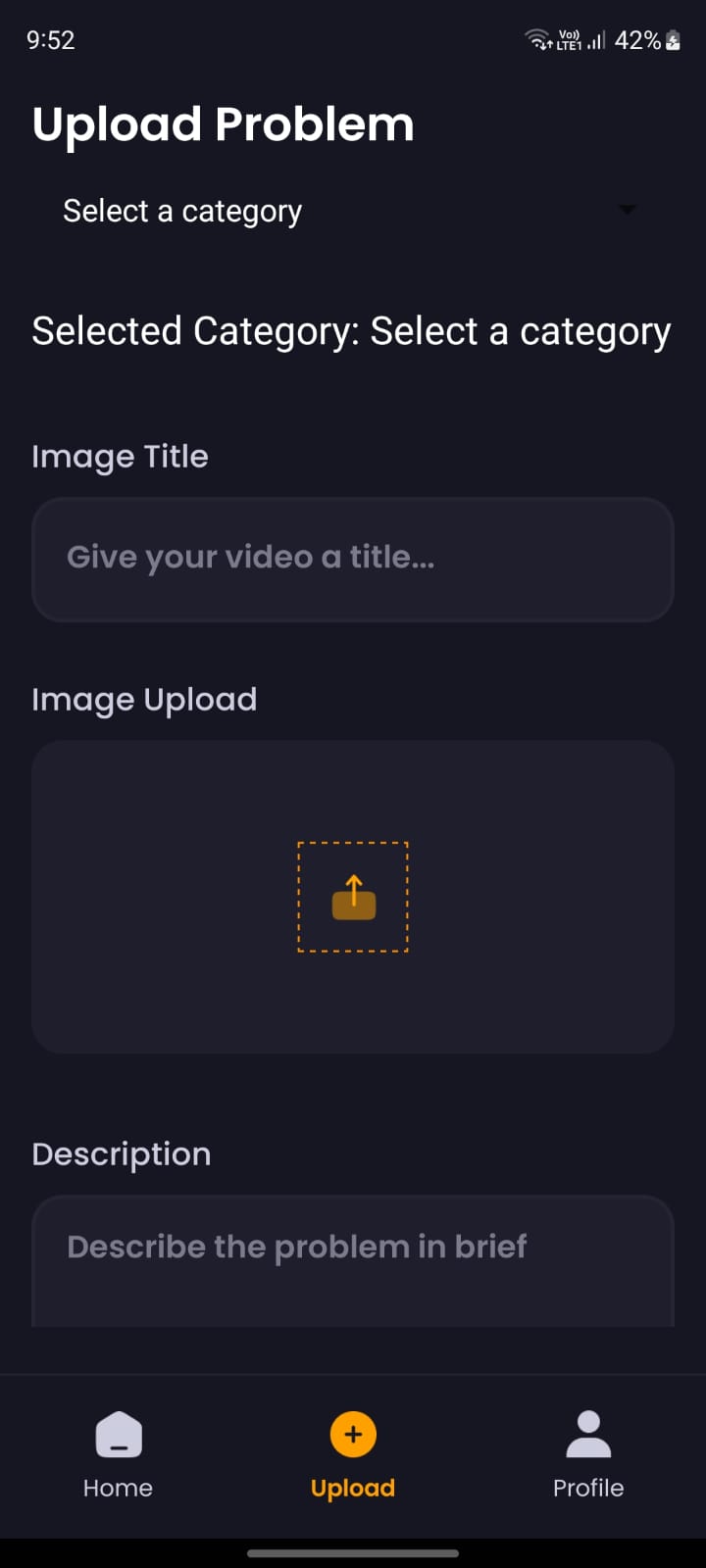
Upload Screen for uploading the different problem
-
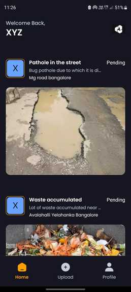
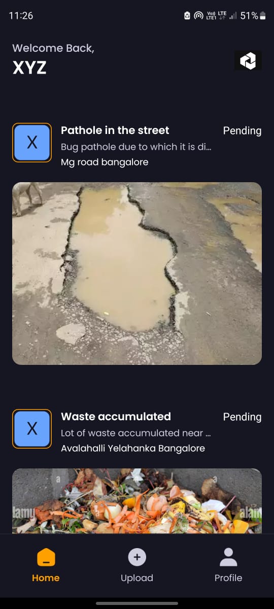
Dashboard page where all the latest issues are displayed
-
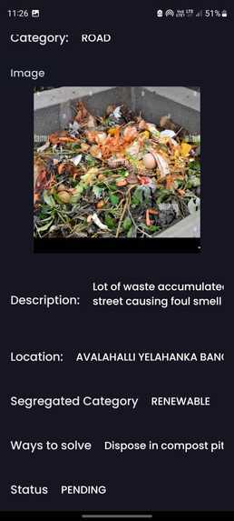
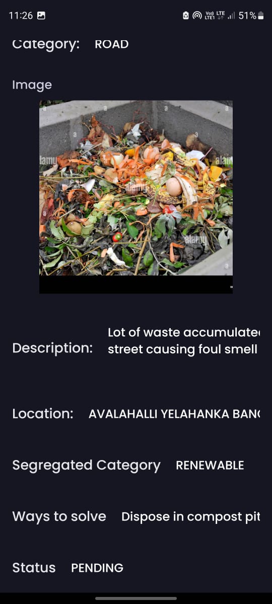
Individual page for the each problem to show all the fields
-
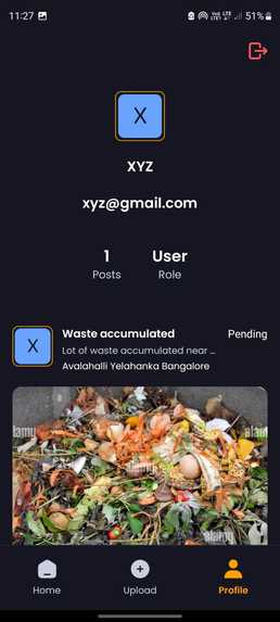
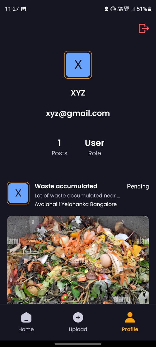
Profile page where the user can view all his posts
-
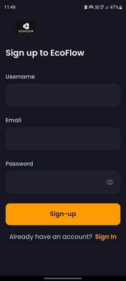
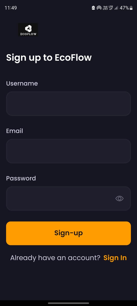
Sign-up form for authenticating new user
Inspiration
Frustrated by overflowing bins and unnoticed road hazards in my city, I envisioned a solution that empowered citizens to actively contribute to a cleaner and more efficient urban environment. EcoFlow aims to be the one-stop app for a smarter city experience.
What it does
The core concept relied on a user-friendly mobile app. While the actual development involved various programming languages and frameworks (replace with the specific ones you used), the initial focus was on designing a seamless user experience.
Here's a breakdown of the key functionalities:
Image recognition for waste sorting: I explored the potential of using pre-trained models to identify different types of waste based on user-submitted pictures. Geolocation and waste management integration: The app would leverage user location to connect with local waste collection services and ensure timely pick-ups. Road issue reporting: A user-friendly interface would allow citizens to report road problems like potholes or damaged signs, complete with pictures for clear identification.
How we built it
React native for the client application, nodejs and express for server to connect with gemini api. Appwrite for authentication, database and storage
Challenges we ran into
Developing a fully functional app with all the envisioned features required extensive resources and expertise. Balancing the complexity of the features with the limitations of a hackathon timeframe proved to be a challenge. Additionally, integrating with existing waste management systems and city infrastructure would demand collaboration with local authorities.
Accomplishments that we're proud of
All the major functionalities by gemini for advanced image recognition and processing is a good accomplishment.
What we learned
This project sparked a journey of learning about smart city solutions, waste management systems, and citizen engagement initiatives. I explored existing apps and delved into technologies like image recognition for waste sorting.
What's next for EcoFlow
Advanced Image Recognition: Refining the image recognition models to accurately identify a wider range of waste types and road problems (e.g., damaged traffic signs, uneven pavement). Real-time Route Optimization: Implementing algorithms to optimize waste collection routes based on real-time data (bin fullness, location) and historical trends. Predictive Maintenance: Utilizing data analysis to predict potential road issues based on wear and tear patterns, enabling preventative maintenance. Gamification and Incentives: Encouraging user participation through gamification elements (leaderboards, badges) and potential rewards for consistent waste sorting and road issue reporting.

Log in or sign up for Devpost to join the conversation.