-
-
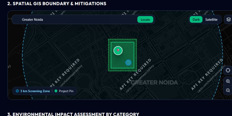
Mapping System
-

Dashboard
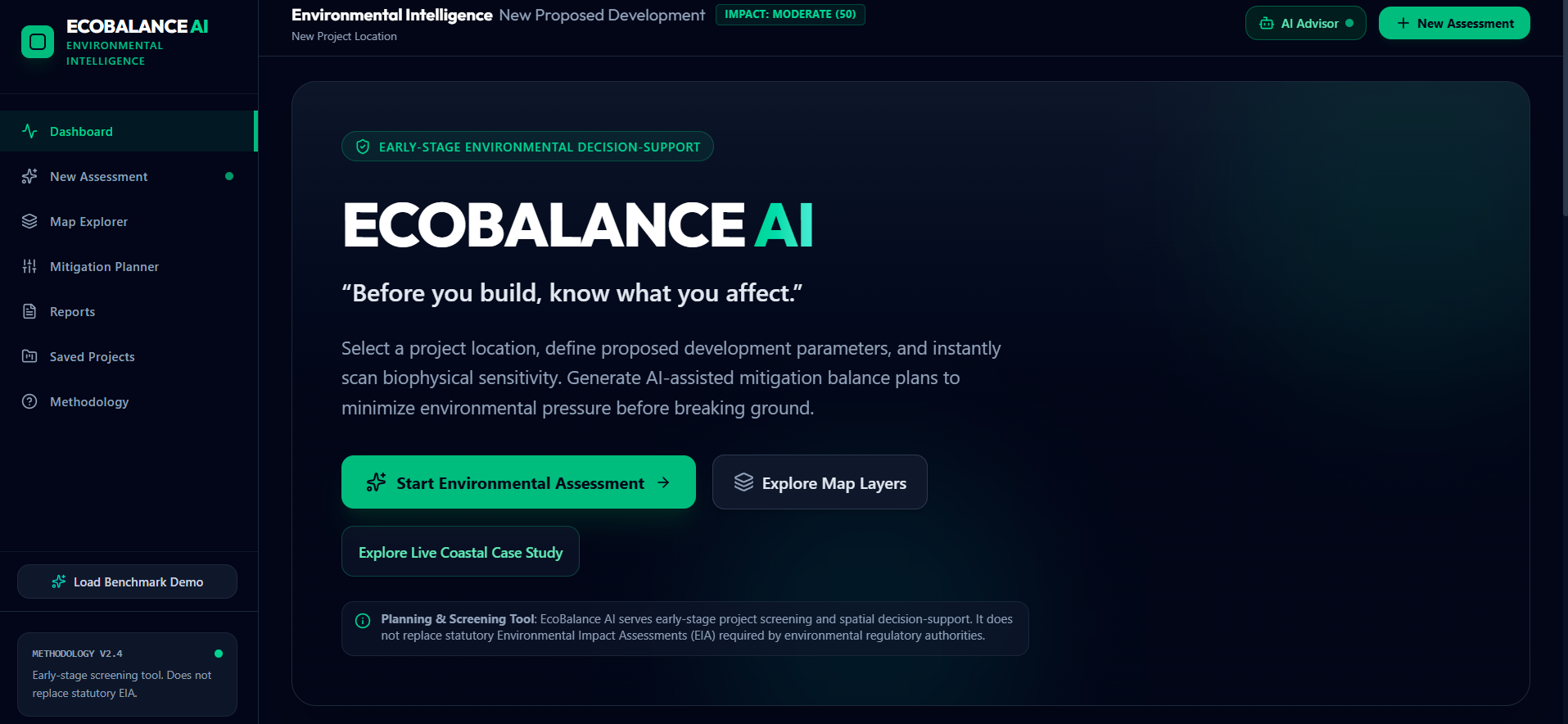
EcoBalance AI is an AI-powered spatial GIS and environmental screening platform that helps urban planners, engineers, and developers analyze ecological impact and generate nature-based mitigation plans before construction begins.
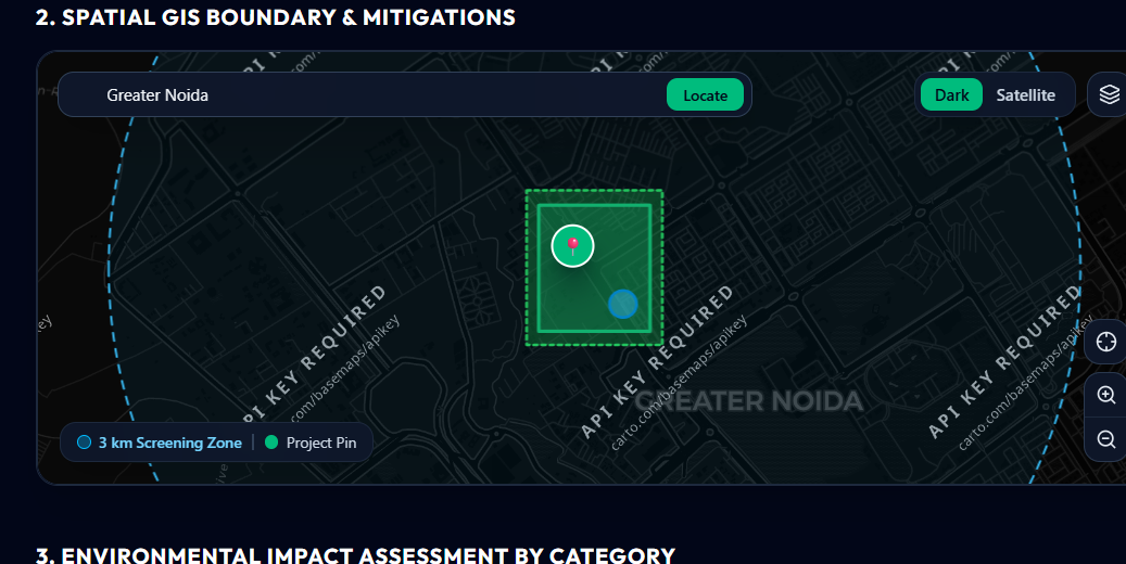
EcoBalance AI ("Before you build, know what you affect") is an intelligent environmental pre-check and decision-support system. By inputting precise GPS coordinates onto high-resolution satellite GIS maps, the platform instantly scans nearby biophysical receptors—including water bodies, tree canopy, biodiversity habitats, thermal heat risks, and flood buffers. Using context-aware AI models (powered by Google Gemini), EcoBalance AI evaluates unmitigated development pressure, simulates nature-based mitigation strategies (such as bioswales, green roofs, and native tree belts), and generates comprehensive environmental pre-check reports to minimize ecological footprint prior to statutory EIA permitting.
High-Precision GIS Satellite Siting: High-resolution satellite & hybrid basemaps with locked pin positioning and 6-decimal WGS84 coordinate accuracy. Automated Biophysical Sensitivity Scanning: Instant spatial detection of water bodies, forests, wetlands, protected species habitats, and thermal risks within customizable screening zones. AI-Powered Mitigation Optimizer: Context-aware Google Gemini assistant suggesting tailored nature-based engineering solutions (bioswales, permeable paving, native buffers). Before vs. After Impact Simulation: Visual delta metrics comparing unmitigated building pressure against nature-positive design outcomes. Automated Pre-Check Reporting: Instant executive-ready environmental audit summary.
🛠️ Tech Stack Frontend: React 19, TypeScript, Vite, Tailwind CSS, Leaflet GIS Backend: Express (Node.js), TypeScript (tsx) AI Engine: Google Gemini API (@google/genai)

Log in or sign up for Devpost to join the conversation.