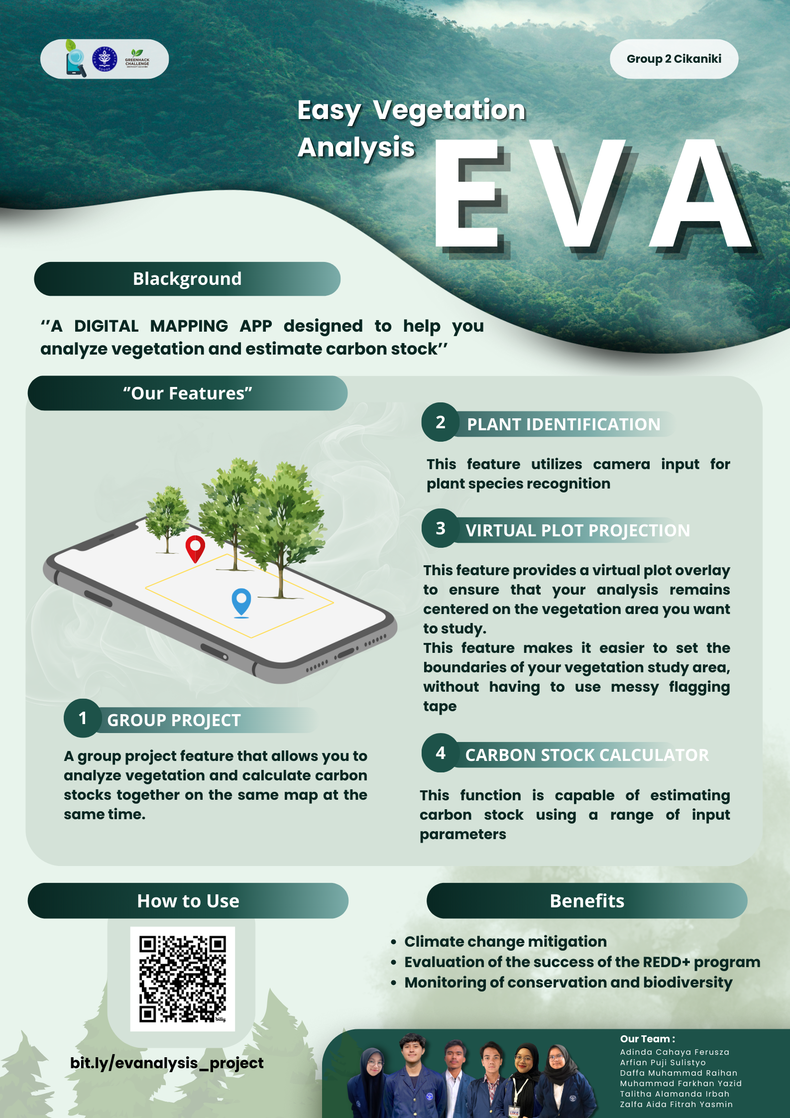
EVA is a digital mapping App designed to help analyze vegetation and estimate carbon stock
This idea of mobile app was inspired from our experienced practical activities in vegetation analysis.
Our app has a bunch of cool features that improve to other digital mapping apps. We believe that adding several features to the digital map application would significantly aid in the green monitoring process
- Group project
Group projects allow user to collect data simultaneously using different devices. This feature requires an internet connection. With group projects, users can collect data at the same time on the same map, the collected data is unified, and the work will be much Efficient.
- Virtual plot projection
Virtual plot projection provides a virtual plot overlay to ensure that user analysis remains centered on the vegetation area user's want to study. This feature makes it easier to set the boundaries of your vegetation study area, without having to use tradisional way using messy flagging tape
- Plant Identification
These tools use image recognition technology to compare user plant photo with a vast database of plant species. Once a plant is identified, user can access information about it
- Carbon Stock calculator
The carbon stock calculator allows you to directly obtain carbon stock calculation results by inputting the required data from allometric equations and others.
Eva mobile app is design to assist in green monitoring and help contribute to climate change mitigation
Built With
- canva


Log in or sign up for Devpost to join the conversation.