Inspiration
What it does
How we built it
Challenges we ran into
Accomplishments that we're proud of
What we learned
What's next for EarthGuard AI
🌍 Inspiration
Environmental change is happening continuously, but it is often difficult to understand what those changes mean for a specific area and what could happen if current trends continue.
We built EarthGuard AI to make environmental intelligence easier to understand and more actionable. The idea is to connect satellite observations, environmental analysis, AI-assisted insights, and future scenario simulation in one platform.
🛰️ What EarthGuard AI Does
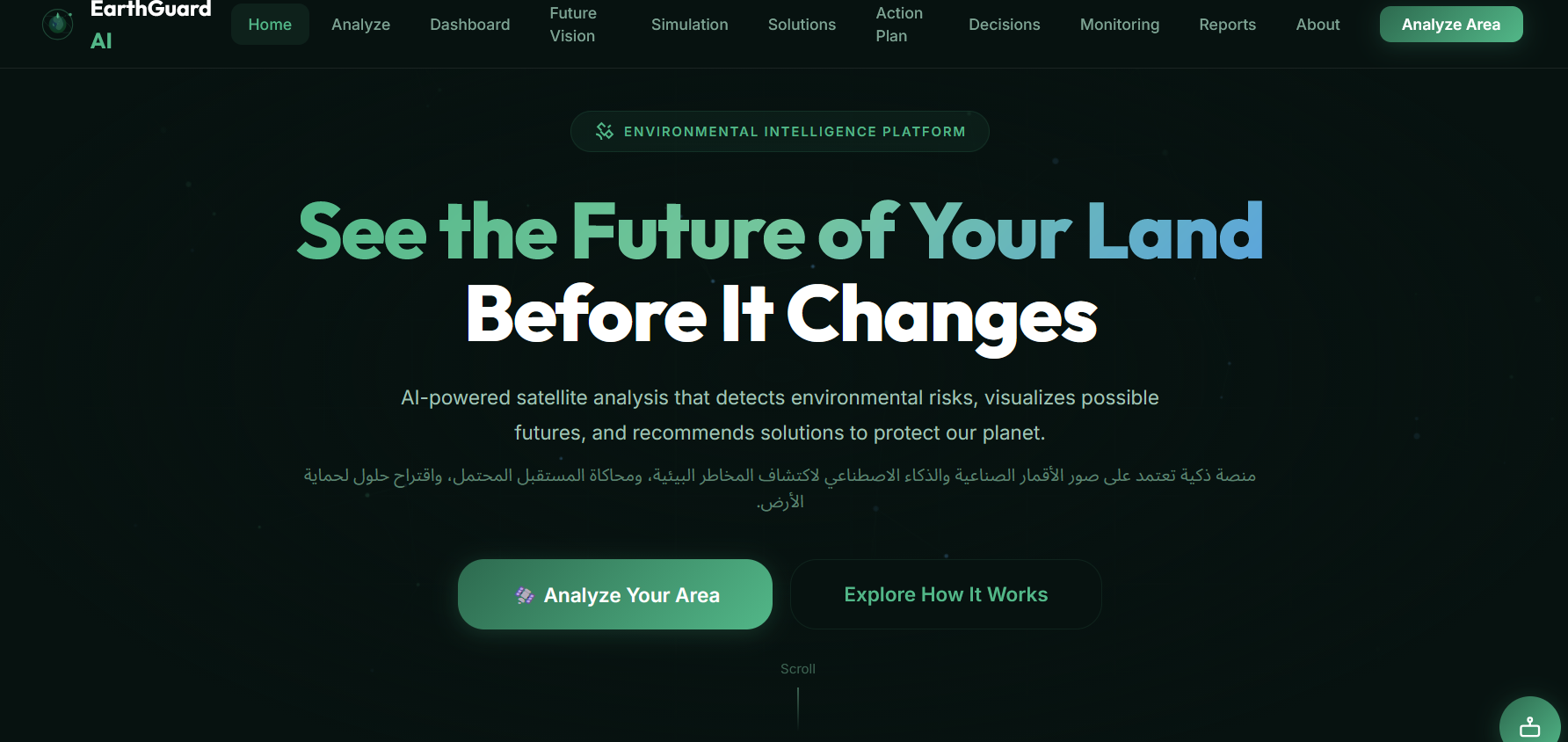
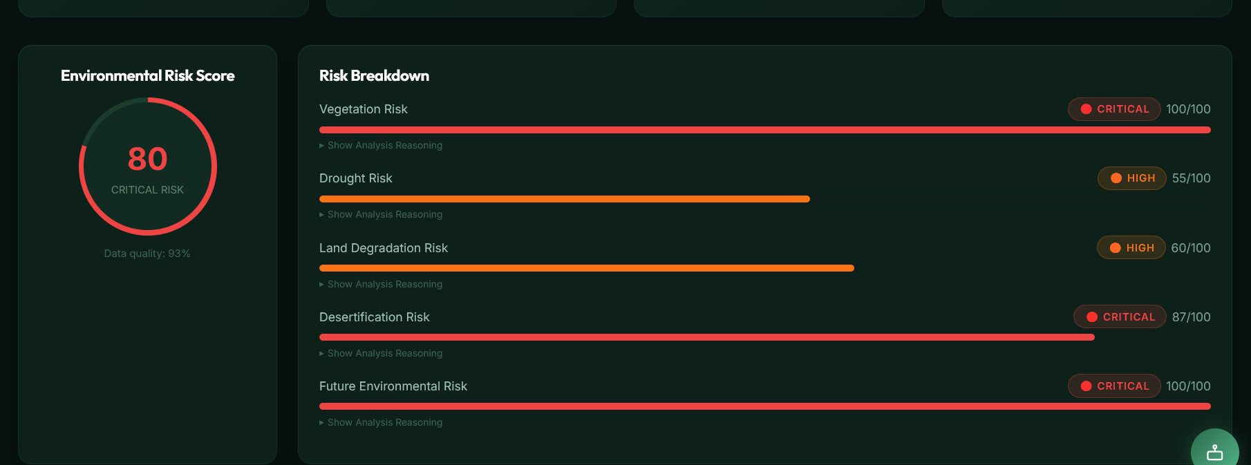
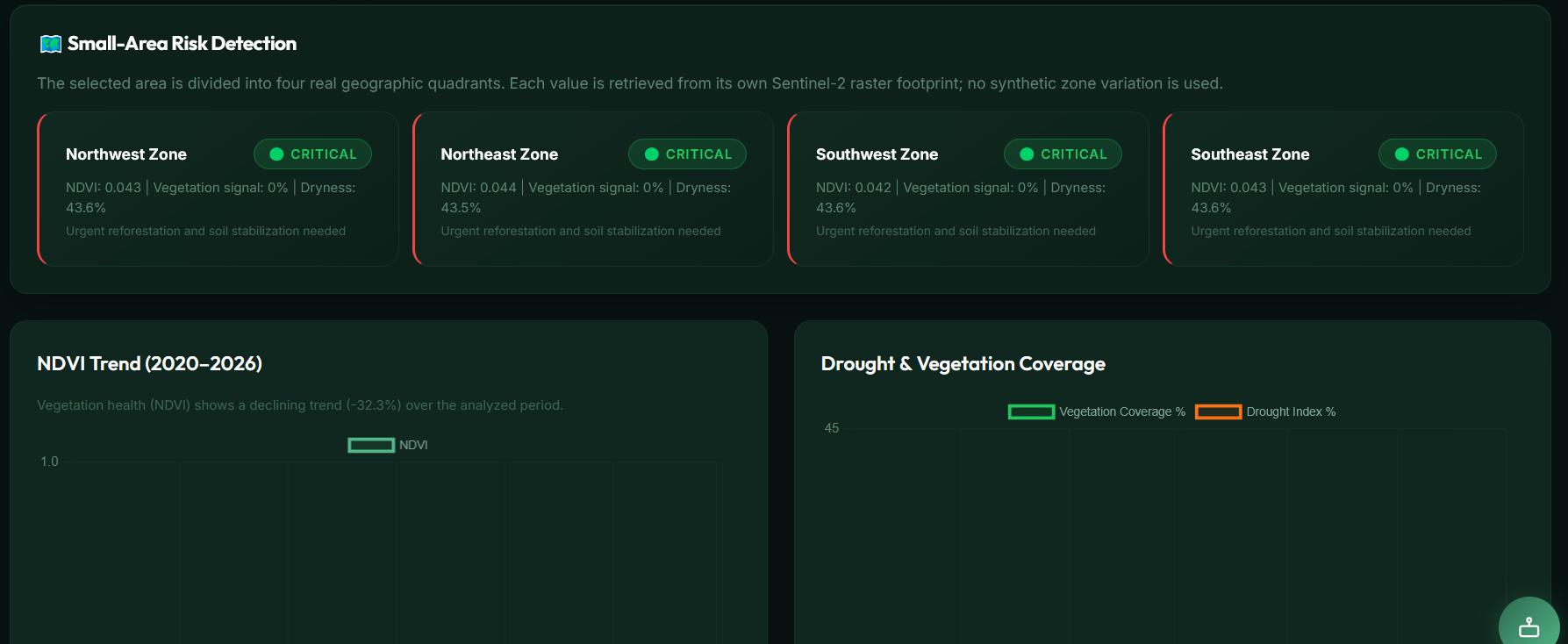
EarthGuard AI is an environmental intelligence platform that analyzes Earth observation data to identify environmental risks and help users explore possible future scenarios.
The platform is designed around the following workflow:
Satellite Data → Environmental Analysis → Risk Detection → Future Simulation → AI Recommendations → Action
It focuses on indicators such as:
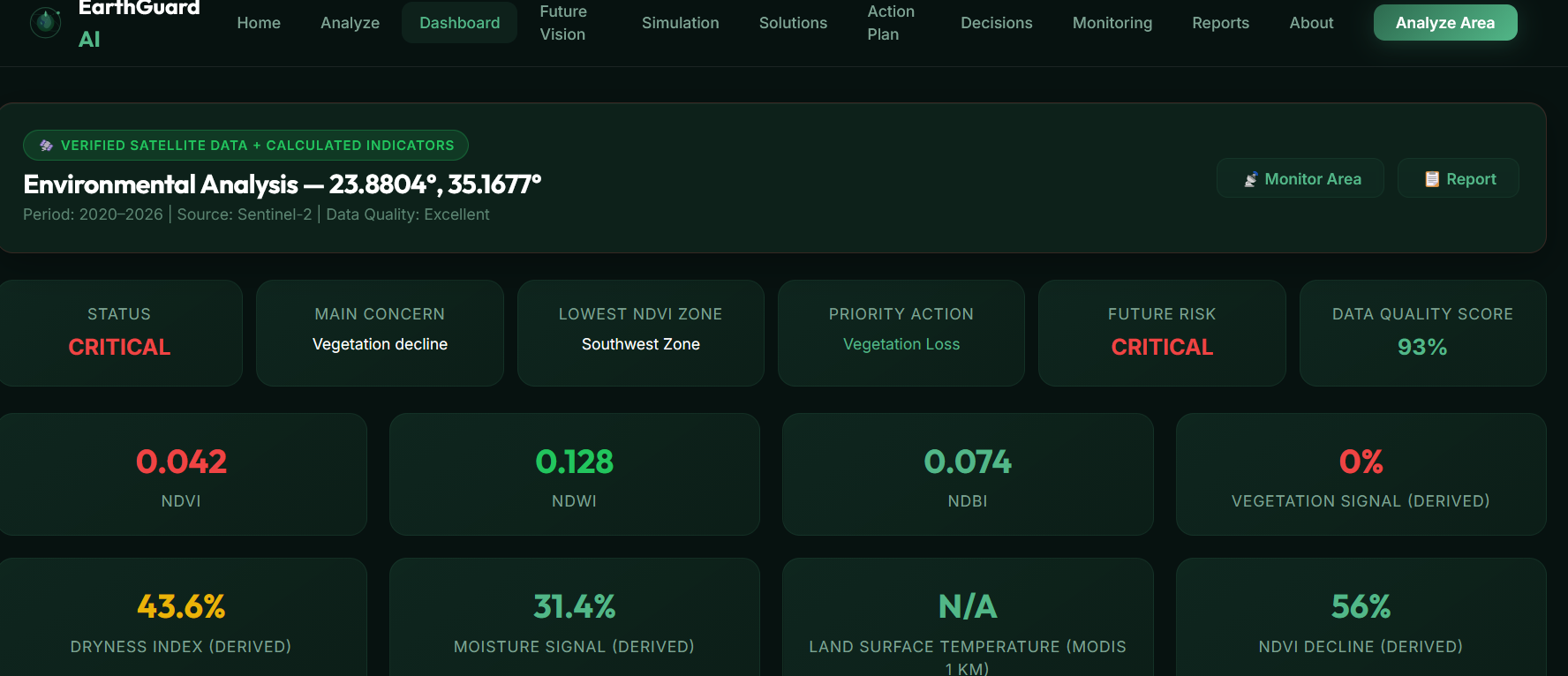
- NDVI — vegetation health and vegetation change
- NDWI — water and moisture-related conditions
- NDBI — built-up and urban expansion patterns
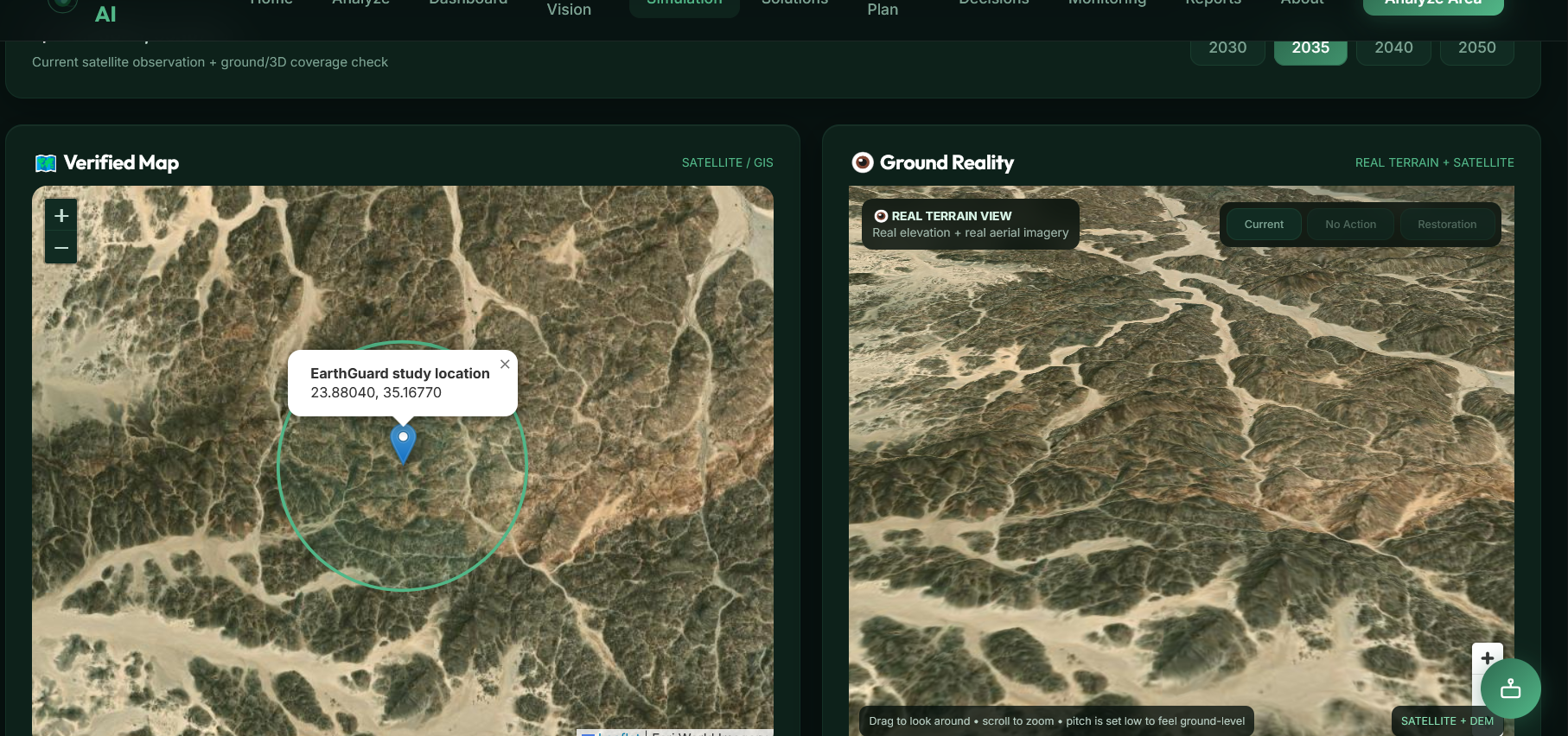
The platform integrates multiple Earth observation sources, including Sentinel-2, Landsat, MODIS, VIIRS, and NASA GIBS, to provide broader environmental context.
🔮 Future Scenario Simulation
One of the most important features of EarthGuard AI is its Future Vision / Simulation capability.
Instead of simply showing the current environmental condition, the platform allows users to explore possible future outcomes based on environmental trends and scenario assumptions.
The simulation is intentionally presented as a possible scenario, not a guaranteed prediction. This helps users understand how environmental conditions could evolve if current trends continue and compare potential outcomes.
This makes the platform useful not only for observing environmental problems, but also for thinking about prevention and intervention.
🤖 AI-Assisted Recommendations
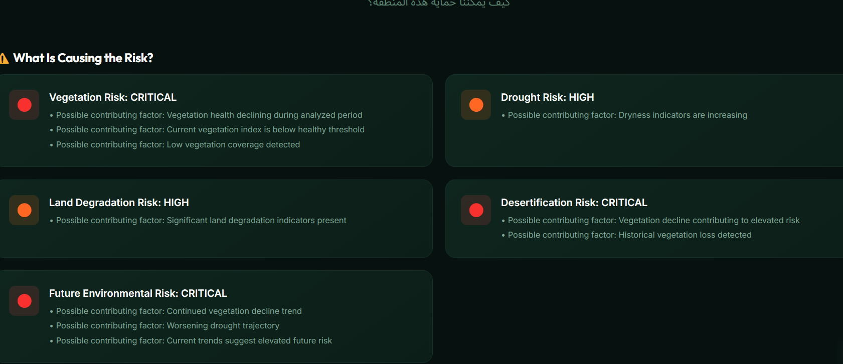
After identifying environmental risks, EarthGuard AI provides AI-assisted recommendations and possible actions.
The goal is to move from:
"What is happening?"
to:
"What could happen next?"
and finally:
"What can we do about it?"
🛠️ How We Built It
EarthGuard AI was built as a modular web platform with separate layers for data, analysis, AI-assisted insights, simulation, solutions, and visualization.
The interface uses web technologies and interactive mapping to allow users to select and analyze areas visually.
The platform was designed to keep the analysis transparent and avoid presenting simulated scenarios as scientific certainty.
📚 What We Learned
During development, we learned how challenging it is to combine different Earth observation data sources into a single user experience.
We also learned that environmental analysis is not only about collecting satellite data. The results need to be translated into understandable indicators, risks, scenarios, and actionable recommendations.
Another important lesson was the need to clearly distinguish between observed data, analysis, and simulated future scenarios.
🚧 Challenges
One of the biggest challenges was integrating multiple satellite data sources while keeping the platform responsive and understandable.
Another challenge was designing a future simulation that communicates possible environmental change without misleading users into thinking that a simulation is a guaranteed prediction.
We addressed this by treating future results as scenario-based visualizations and keeping the distinction between real observations and simulated outcomes clear.
🌱 Impact
EarthGuard AI aims to make environmental intelligence more accessible to students, researchers, decision-makers, and people who want to better understand environmental change.
By combining satellite analysis with future scenario simulation and actionable recommendations, the platform can help users move from awareness to preparation and action.
🎯 Vision
Our vision is simple:
Understand the Earth today.
Simulate the possibilities of tomorrow.
Act before it's too late.
Built With
- artificial
- css
- data
- gis
- html
- intelligence
- javascript
- landsat
- leaflet.js
- learning
- machine
- modis
- nasa
- remote
- satellite
- sensing
- sentinel-2

Log in or sign up for Devpost to join the conversation.