-
-
Tella
Inspiration
We were inspired by Minecraft’s ability to turn complex 3D environments into interactive worlds. We wanted to take that idea further by using real Earth elevation data instead of procedurally generated terrain and processing it directly on an FPGA. We also wanted to make the experience more meaningful by pairing terrain exploration with an AI assistant that helps users learn about disaster preparedness and response.
What it does
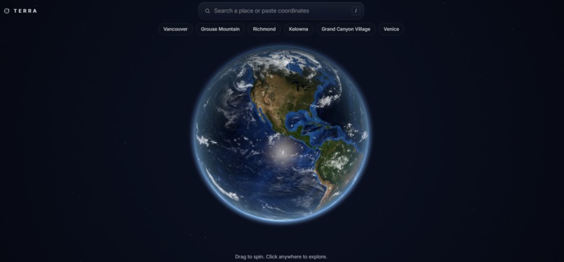
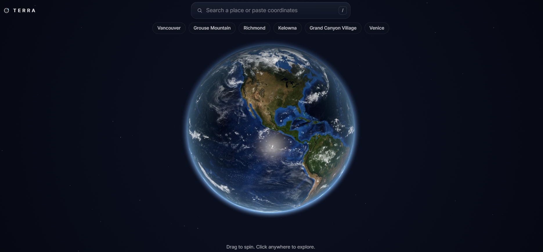
Terra converts real-world Digital Elevation Model (DEM) data into a Minecraft-style voxel environment. Users can select a real location and explore its terrain as an interactive 3D world, with the FPGA handling terrain generation and rendering through parallel hardware processing.
Alongside the terrain explorer, Terra includes an AI-powered chatbot that helps users learn about disaster preparedness and response. Users can ask questions about emergency preparedness, evacuation procedures, and different natural hazards through a Gemini-powered assistant.
Together, the two components combine real geographic data, FPGA parallel computing, 3D visualization, and AI-powered education in one platform.
Our goal is to demonstrate how hardware-based (FPGA)parallel processing can turn large amounts of geographic data intuitive visualizations.
How we built it
We started with real Earth elevation data and converted elevation values into block heights that could be represented as voxels. We then stored and processed the terrain data on the FPGA and built hardware logic for terrain generation and rendering.
The FPGA uses parallel processing and pipelining to efficiently handle terrain operations, with the resulting world displayed through VGA.
Separately, we built an AI chatbot using the Gemini API to provide accessible disaster-preparedness information and answer users’ questions about natural hazards and emergency response.
Challenges we ran into
One of our biggest challenges was fitting a 3D terrain engine into the limited resources of an FPGA. We had to carefully manage memory, simplify the terrain representation, and optimize our rendering pipeline.
Another challenge was converting large real-world elevation datasets into a compact format that could be processed efficiently in hardware.
For the AI component, we also had to design the chatbot so that it provides useful educational information without presenting itself as a replacement for official emergency services or disaster authorities.
Accomplishments that we're proud of
We successfully transformed real-world geographic data into an interactive Minecraft-style environment running on FPGA.
We are especially proud of combining geospatial data, FPGA hardware acceleration, voxel graphics, and AI into one project. Rather than simply recreating a game, we created an interactive way to explore real places while providing an AI assistant that helps users become more informed about disaster preparedness.
What we learned
We learned how to design hardware around a real-world application and optimize algorithms for parallelism, pipelining, memory usage, and FPGA resource constraints.
We also learned how a familiar interface like Minecraft can make complex geographic information easier to understand, and how AI can complement a technical visualization system by making information more accessible through natural-language interaction.
What's next for Tessa
Our next step is to bring the terrain explorer and AI assistant closer together so users can select a real location, explore its terrain, and receive location-relevant educational information about natural hazards and disaster preparedness.
Improve terrain resolution and rendering performance, integrate more authoritative emergency-information sources, and eventually develop Terra into a broader platform for interactive geographic exploration and public disaster preparedness education.

Log in or sign up for Devpost to join the conversation.