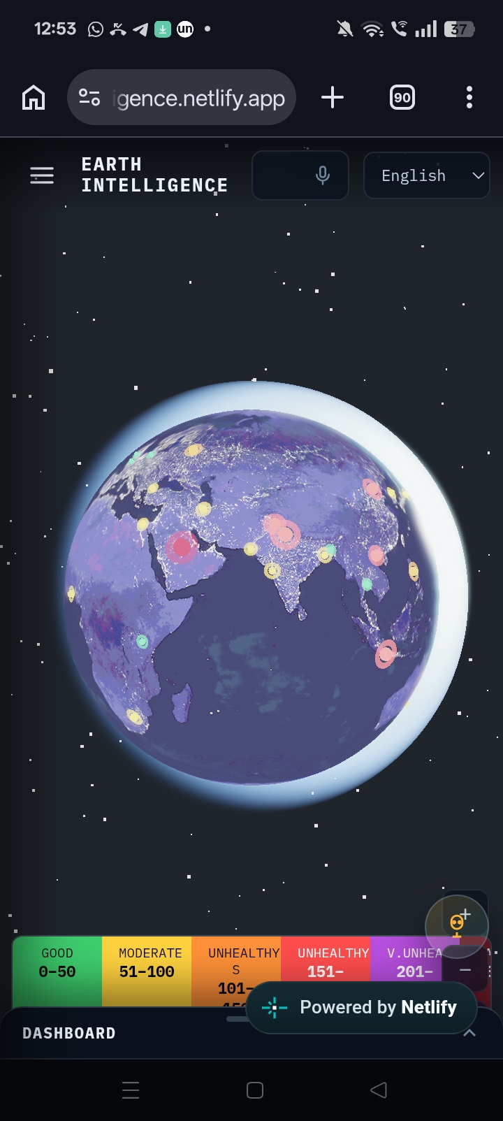
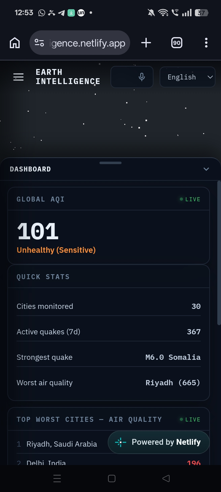
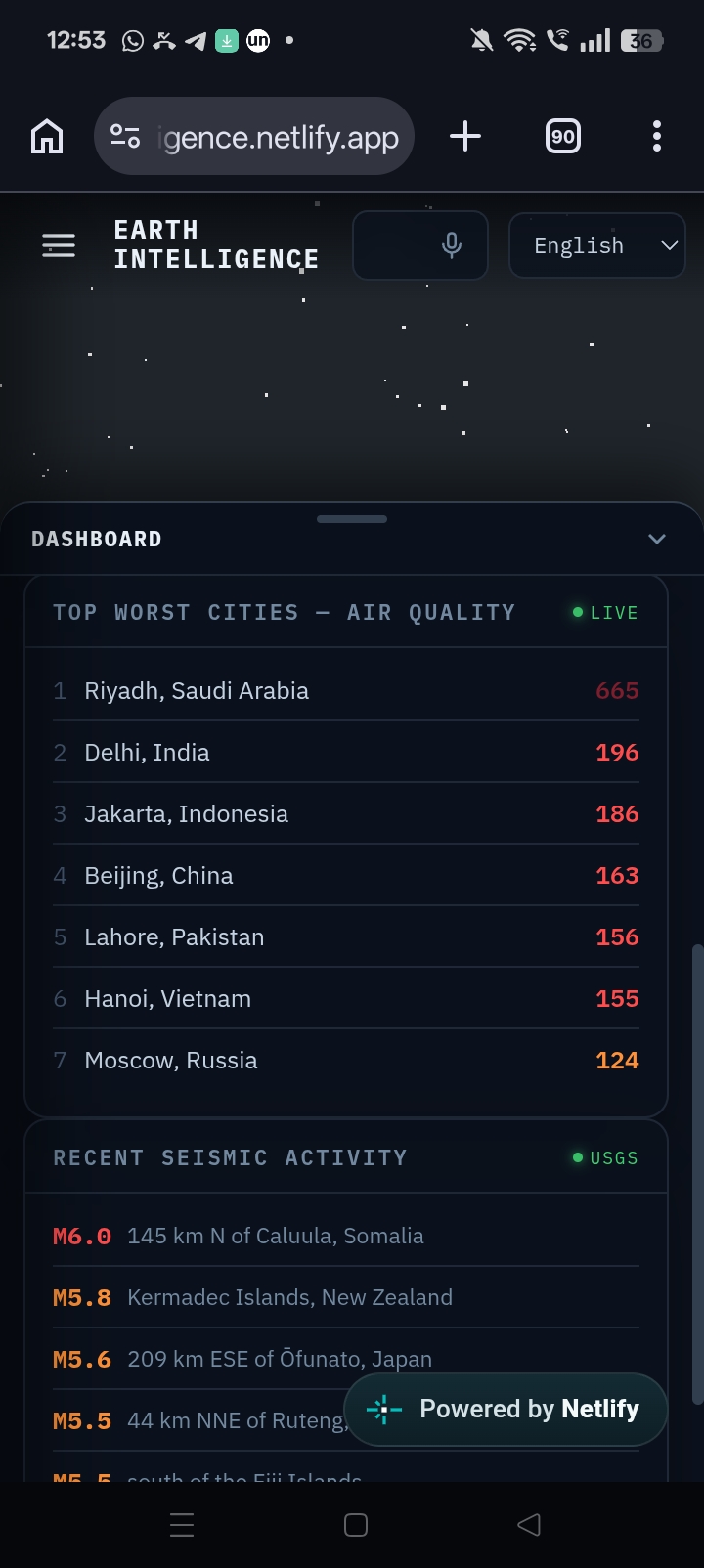
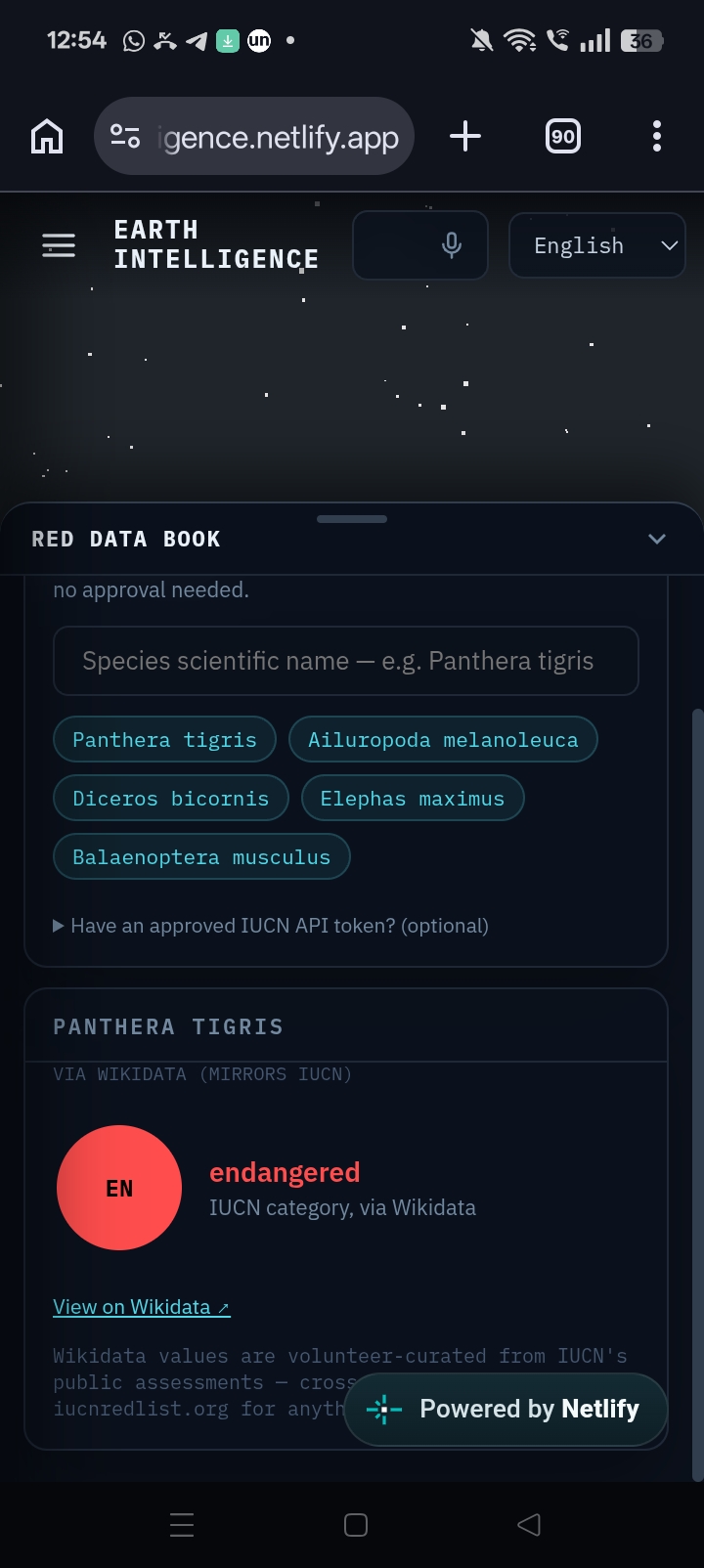
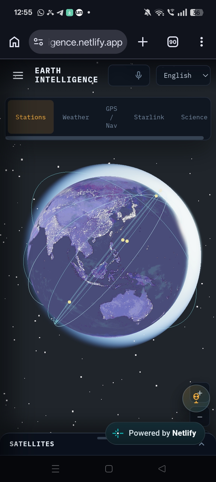
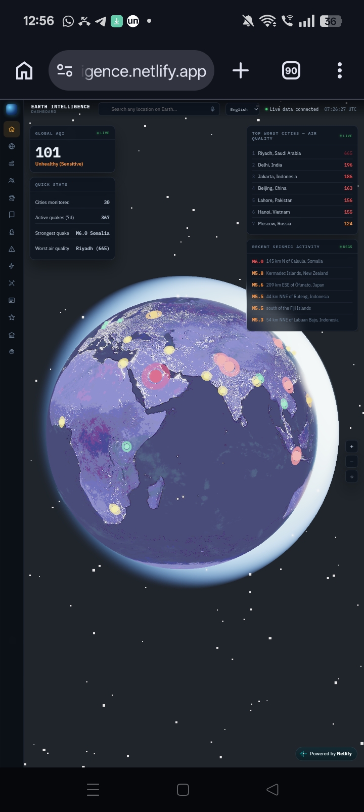
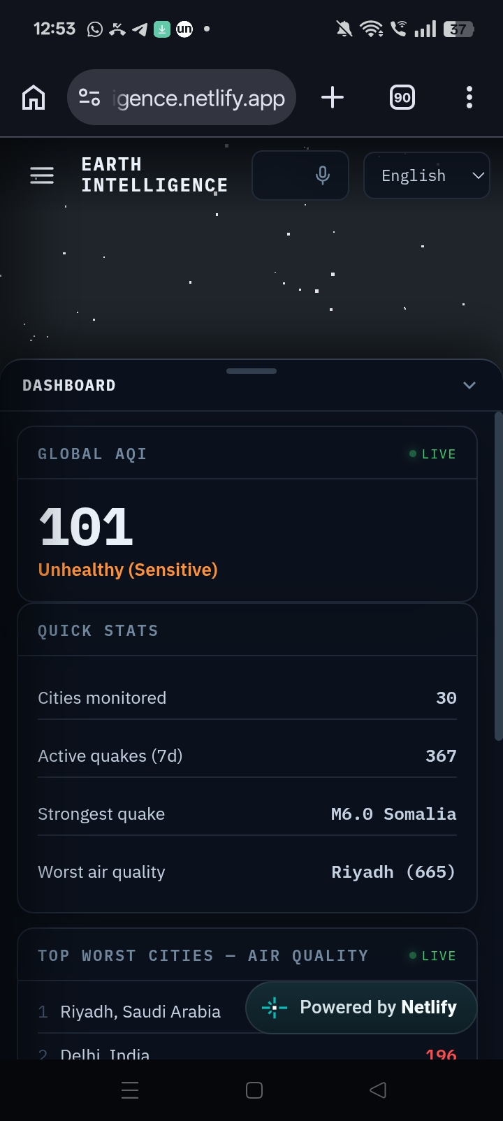
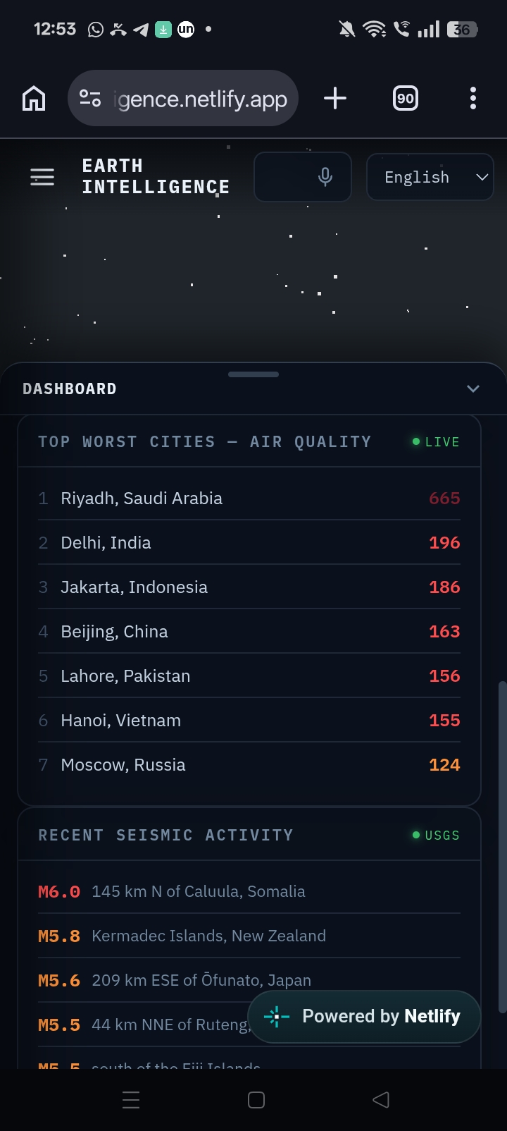

Earth Intelligence – Planet. People. Wildlife. Future.
🚀Demo website URL: https://earthintelligence.netlify.app
Inspiration
Natural disasters and extreme weather events are becoming more frequent, yet critical information is scattered across multiple platforms. People often need to switch between weather websites, disaster portals, satellite trackers, pollution monitors, and news sources to understand what's happening.
We wanted to build a single intelligent platform that brings all of this information together through an intuitive interactive 3D globe, making Earth observation more accessible, understandable, and actionable for everyone.
What it does
Earth Intelligence is an AI-powered geospatial platform that combines weather forecasting, disaster monitoring, pollution intelligence, satellite visualization, environmental news, and an AI assistant into one unified experience.
Features
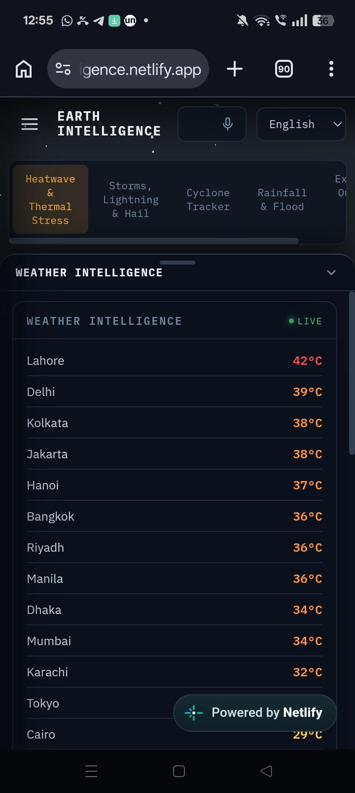
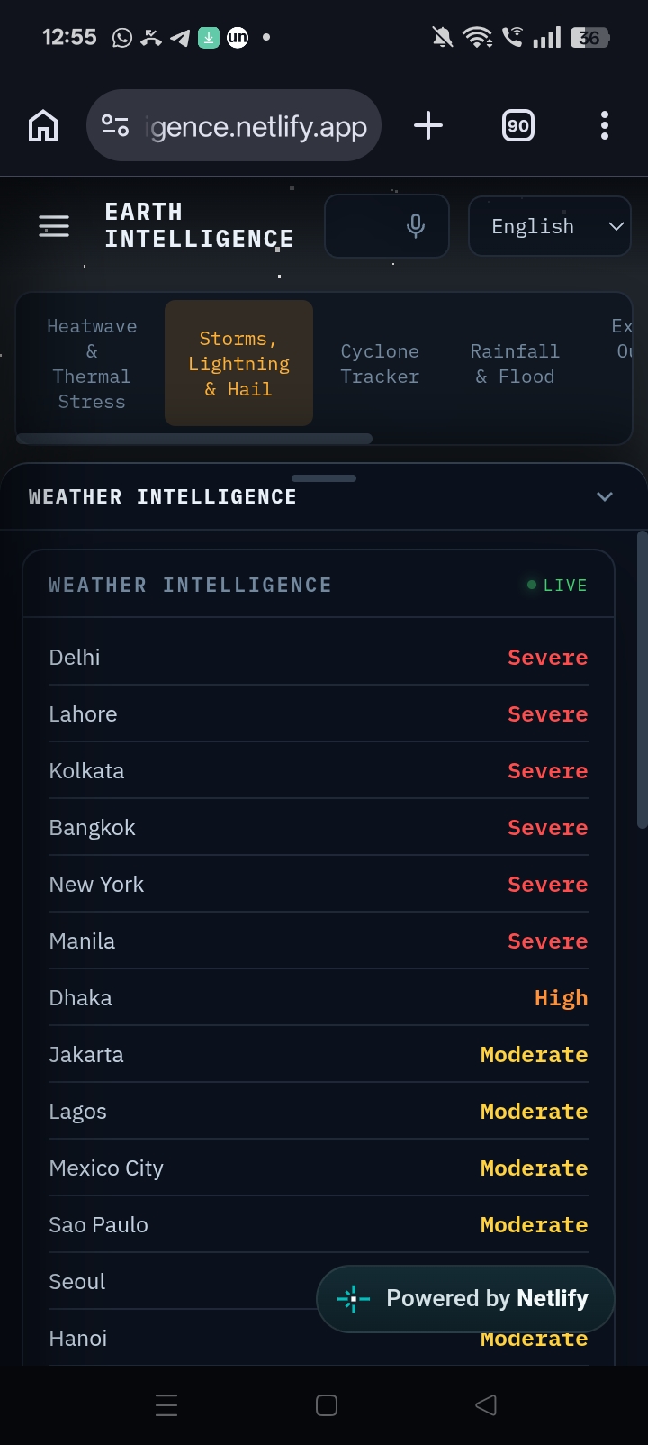
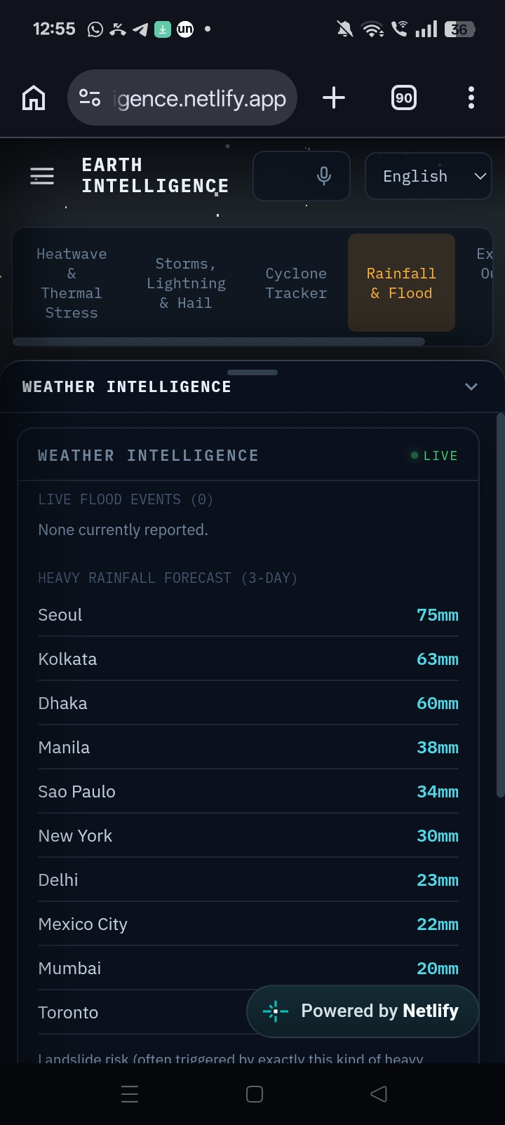
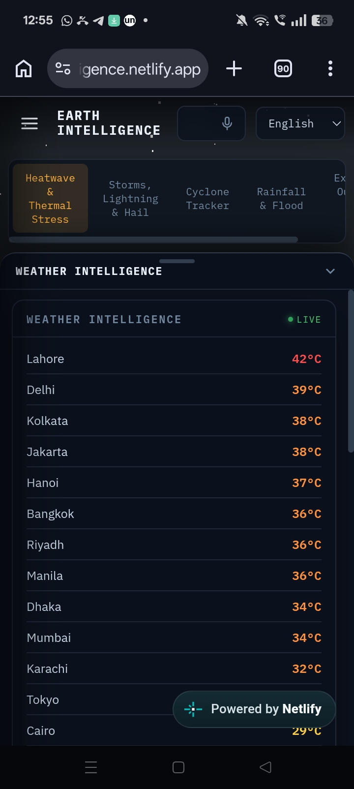
🌦 Weather Intelligence
- Heat Index
- Wet Bulb Globe Temperature (WBGT)
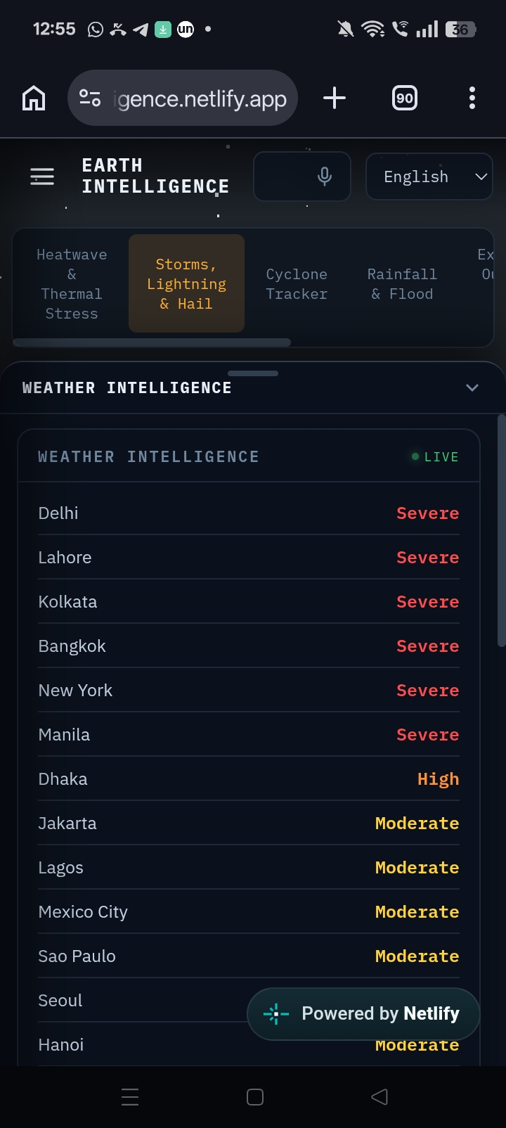
- Storm analytics
- Hail risk
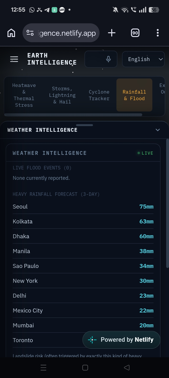
- Rainfall analytics
- Flood risk analytics
🌀 Live Cyclone Tracking
- Active cyclone tracking
- Historical cyclone path visualization
🌋 Disaster Intelligence
- Floods
- Wildfires
- Landslides
- Volcanoes
- Severe storms
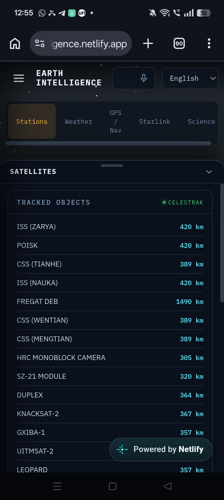
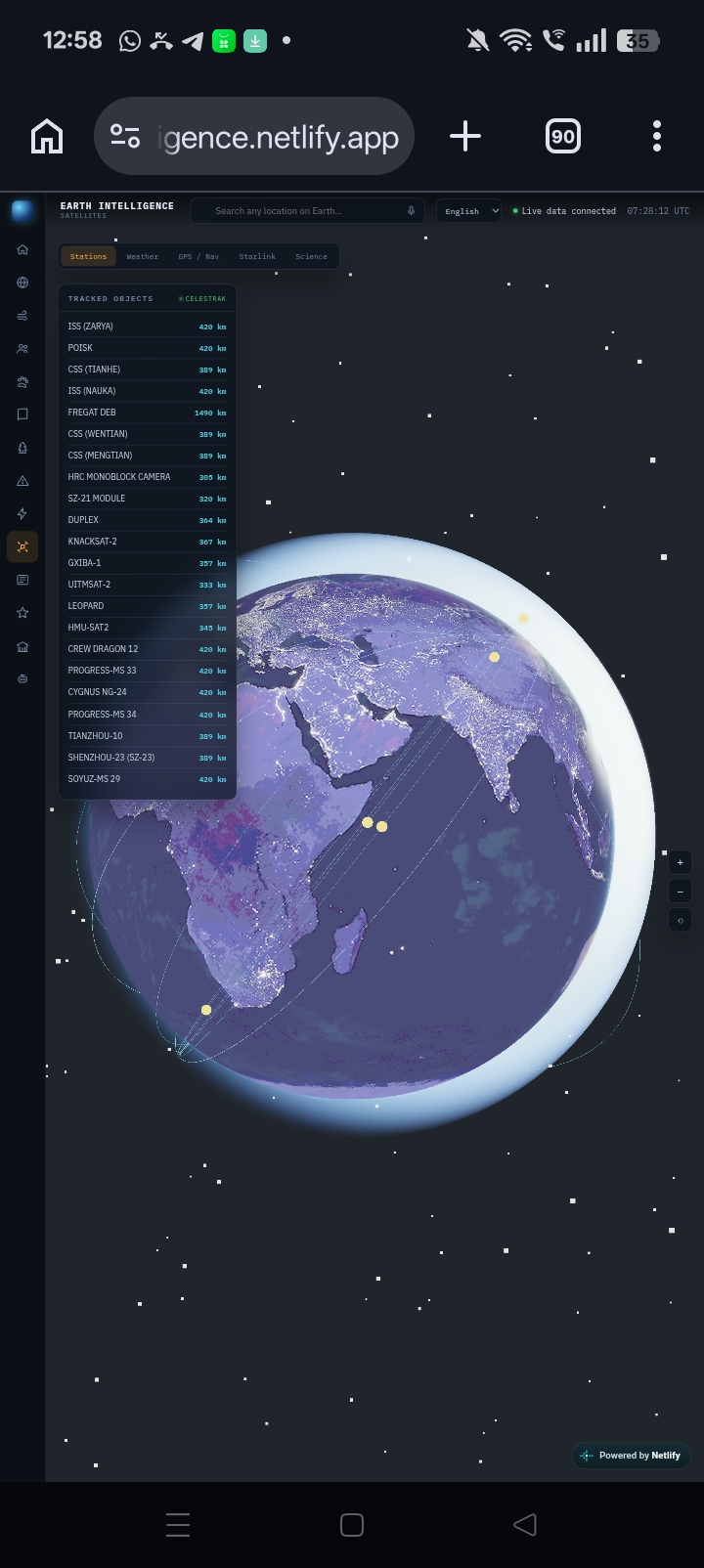
🛰 Interactive Satellite Visualization
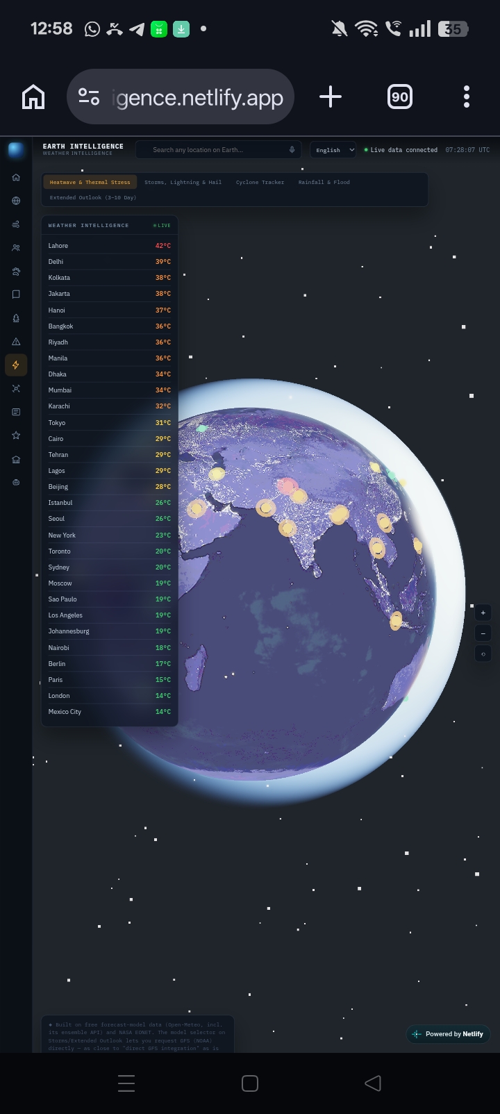
- Browser-based 3D globe
- Earth observation layers
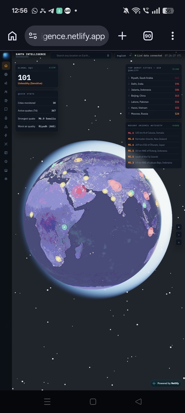
🌫 Air Pollution Monitoring
- Real-time air quality monitoring
- Air Quality Index (AQI) visualization
- Pollutant concentration insights
📰 Environmental News
- Live environmental and climate news
- Disaster-related updates
- Global sustainability and weather headlines
🤖 AI Assistant
- Natural language weather and environmental queries
- AI-powered explanations and insights
🌍 Interactive 3D Earth
- Unified visualization of environmental datasets
How I built it
Frontend
- HTML
- CSS
- JavaScript
3D Graphics
- Three.js
APIs
- Open-Meteo API
- NASA EONET API
- GNews API
- Groq API
Deployment
- Netlify
The application integrates multiple public APIs, processes incoming environmental data, and presents it through a high-performance interactive 3D globe with dedicated modules for weather, disasters, pollution, satellites, news, and AI-powered insights.
Challenges I ran into
One of the biggest challenges was integrating multiple independent data sources into a seamless user experience.
Another challenge was working with publicly available datasets. Many advanced weather products such as Doppler radar feeds, INSAT imagery, and institutional forecasting services are not freely accessible. Rather than simulating unavailable capabilities, we focused on building scientifically grounded analytics using trusted public datasets while clearly distinguishing current functionality from future enhancements.
Optimizing the 3D globe and rendering multiple real-time datasets efficiently in the browser was another major engineering challenge.
Accomplishments that I'm proud of
- 🌍 Built a fully interactive browser-based 3D Earth platform.
- 🛰 Integrated multiple real-time environmental datasets into one application.
- 🌦 Developed Weather Intelligence features that interpret weather conditions instead of simply displaying forecasts.
- 🌀 Implemented historical cyclone path visualization.
- 🤖 Built an AI assistant capable of explaining weather and environmental information in natural language.
- 🚀 Successfully deployed the platform online for public access.
What I learned
This project strengthened my understanding of:
- Geospatial visualization
- Browser-based 3D graphics
- API integration
- AI-assisted user interaction
I also learned the importance of designing around real-world constraints. Instead of relying on unavailable proprietary datasets, I focused on building a transparent, scalable platform using trusted public data while leaving room for future integration with official weather and Earth observation services.
Most importantly, I learned that combining artificial intelligence with intuitive visualization makes complex environmental information significantly easier to understand and act upon.
What's next for Earth Intelligence
🌎 Planet
- Integrate official weather and Earth observation services (IMD, INSAT, Doppler Radar)
- Higher-resolution climate and environmental analytics
- Advanced hazard prediction and early warning systems
- Ocean, glacier, and ecosystem monitoring
👥 People
- Personalized weather alerts and risk notifications
- Multilingual AI assistant with voice support
- Community-driven environmental observations
- Decision-support tools for disaster management agencies
🐘 Wildlife
- Real-time wildlife habitat and migration visualization
- Conservation and biodiversity monitoring
- Protected area intelligence
- Integration with additional global biodiversity datasets
🚀 Future
- AI-powered predictive environmental analytics
- Digital Twin of Earth for simulation and planning
- Mobile and offline applications
- IoT sensor integration
- Smart city and climate resilience capabilities
Vision
Earth Intelligence is designed to become a unified planetary intelligence platform connecting Planet, People, Wildlife, and the Future.
Our vision is to help individuals, researchers, governments, and organizations better understand, protect, and make informed decisions about our planet through geospatial visualization, artificial intelligence, and real-time environmental data.
Built With
- css
- groqapi
- html
- javascript
- nasa-eonet-api
- netlify
- three.js

Log in or sign up for Devpost to join the conversation.