Inspiration
We took a quick stroll around downtown Chicago, and we found it difficult, as non-Chicagoans to find useful bus stops. All the bus stops had a map with every bus and every route, which was a bit too much to take in.
What it does
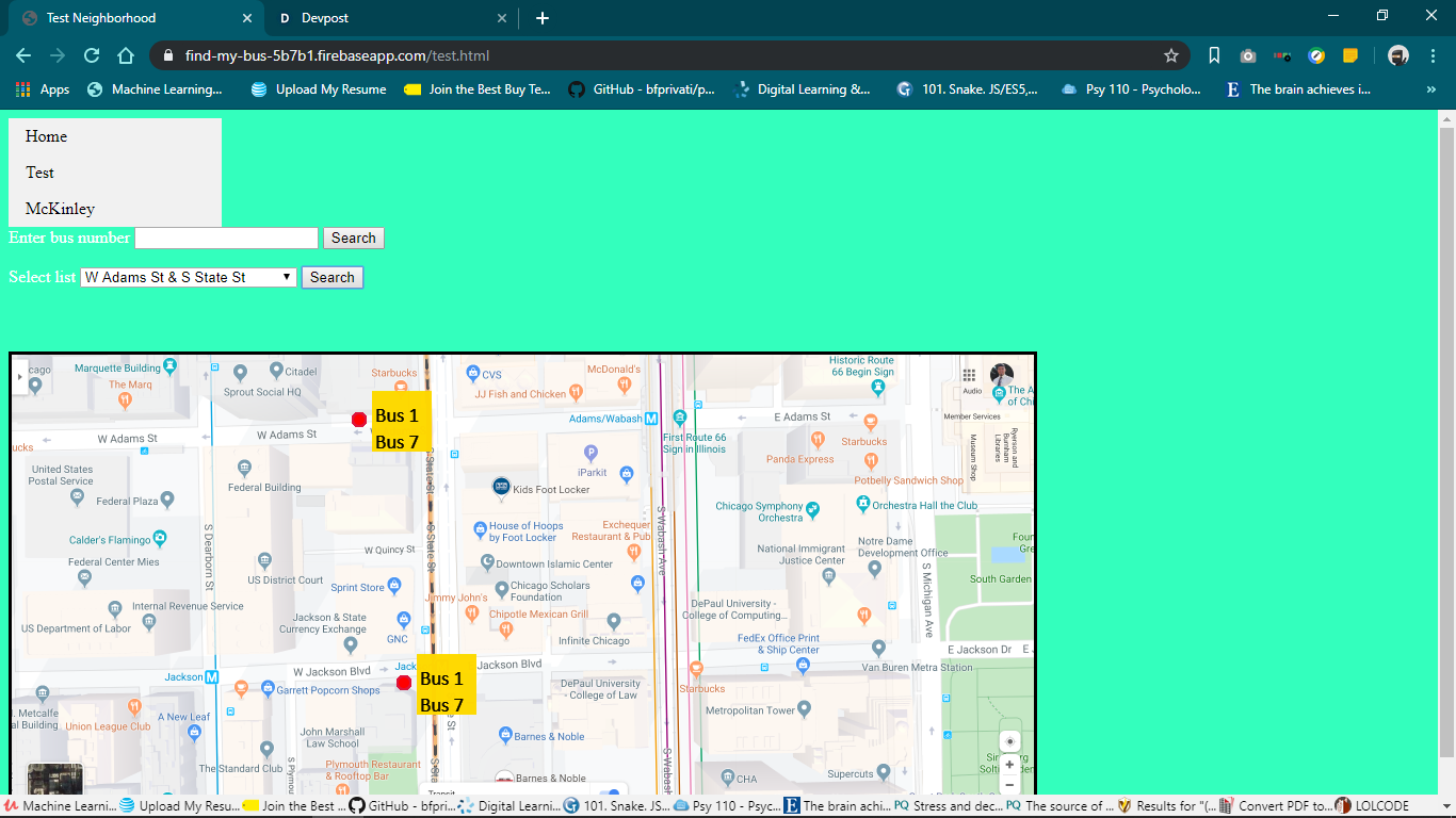
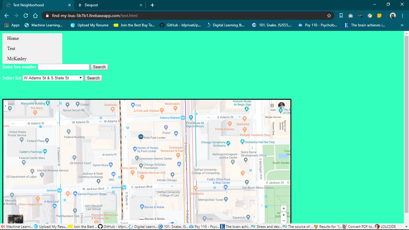
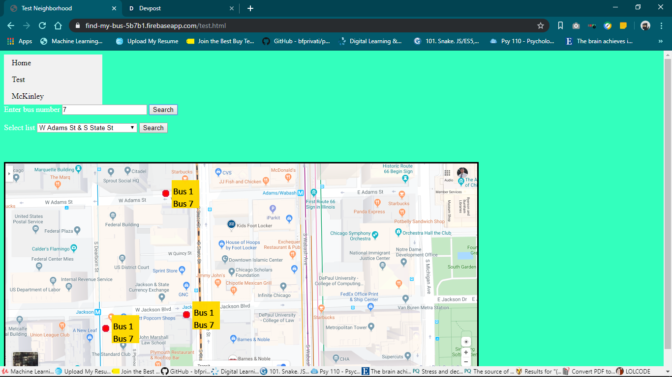
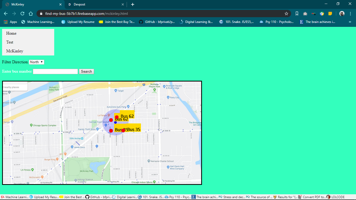
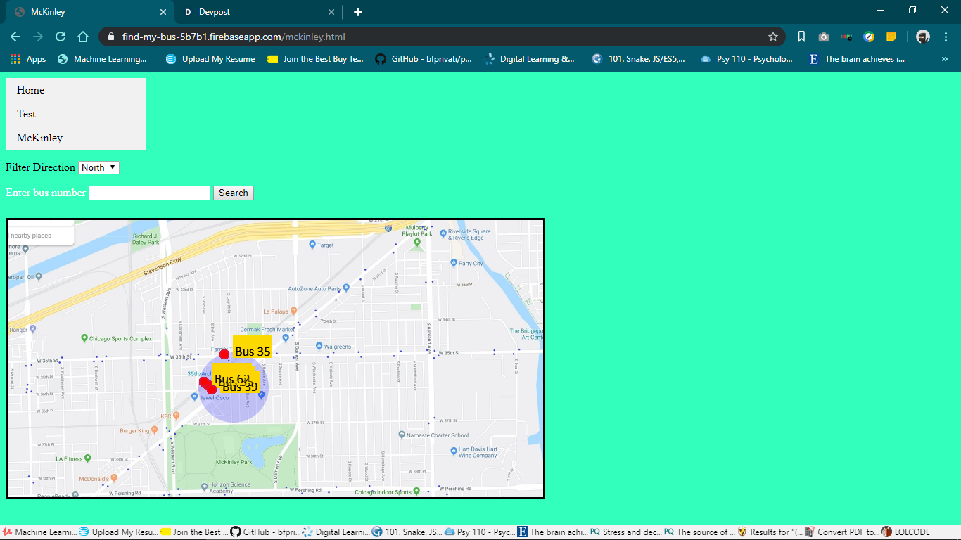
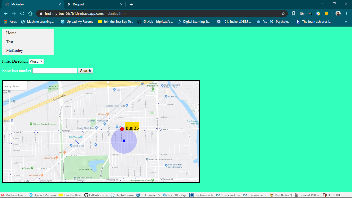
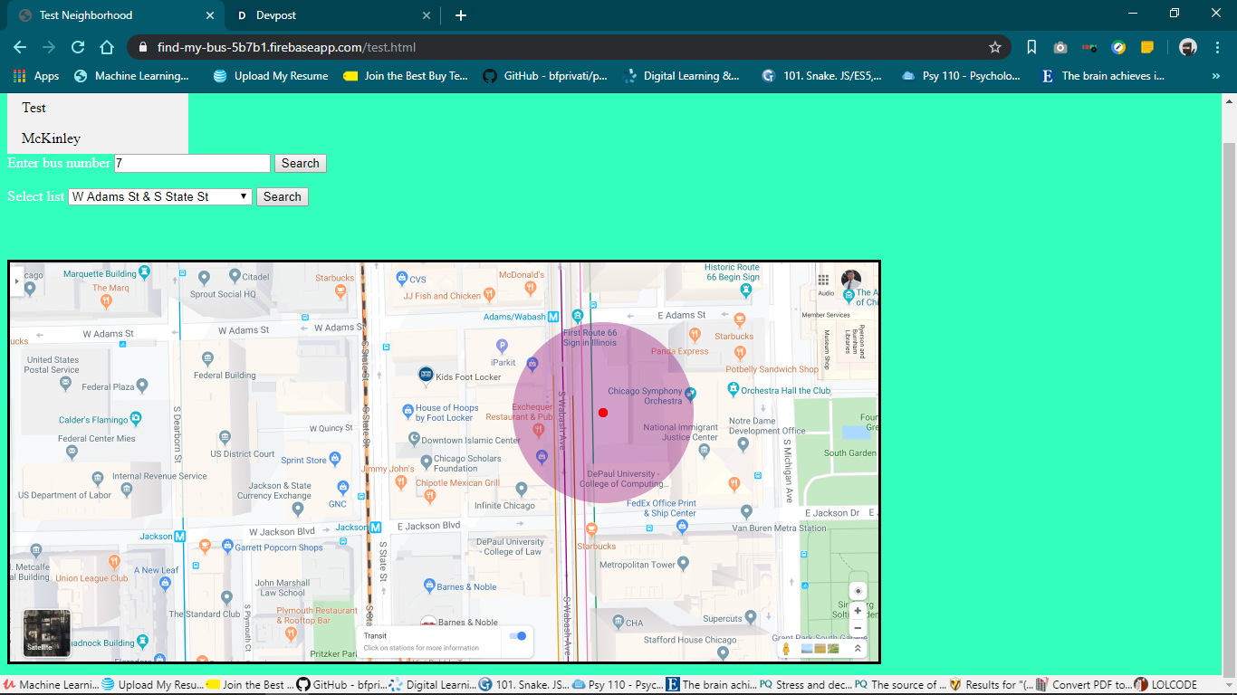
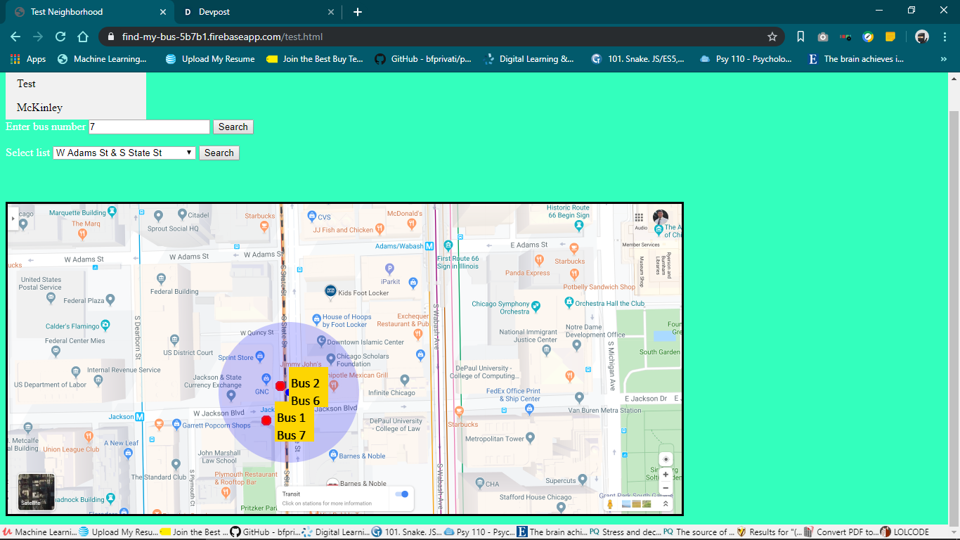
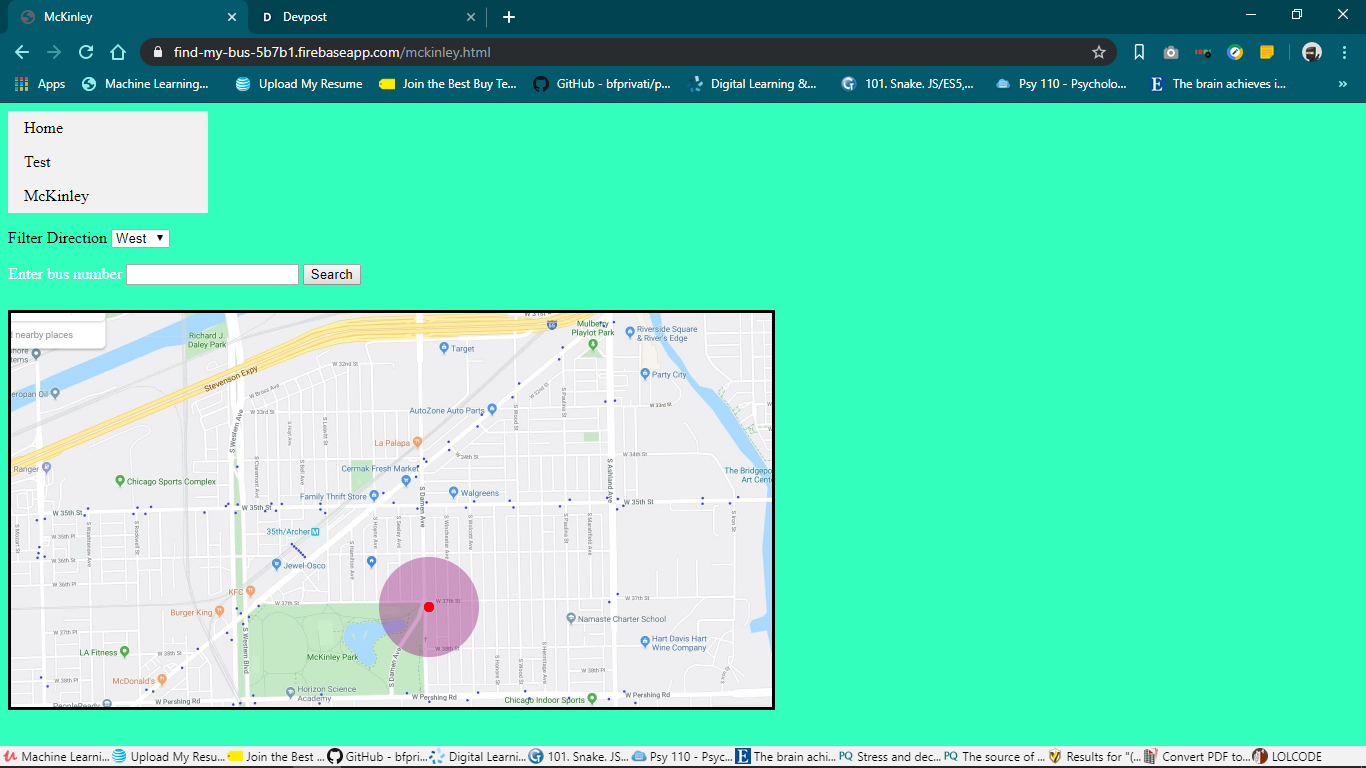
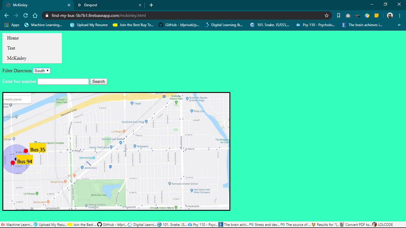
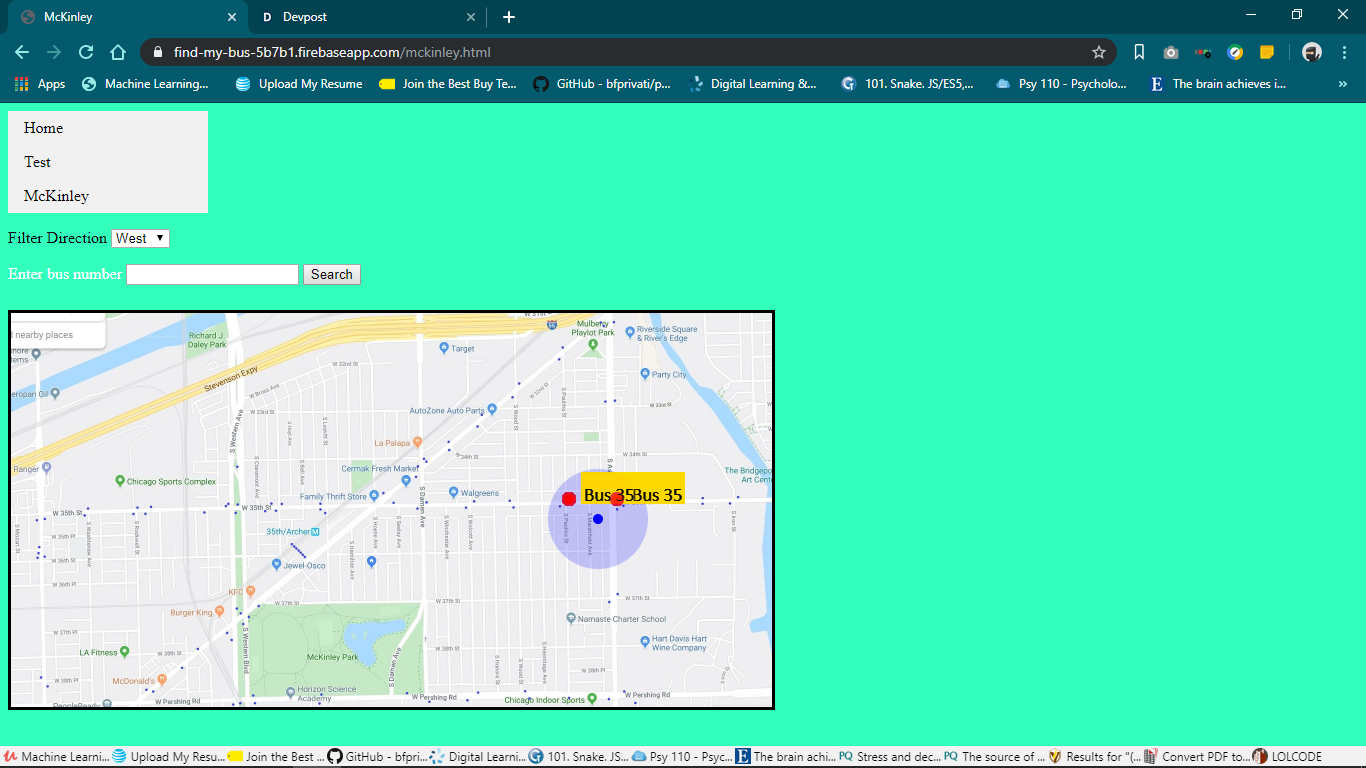
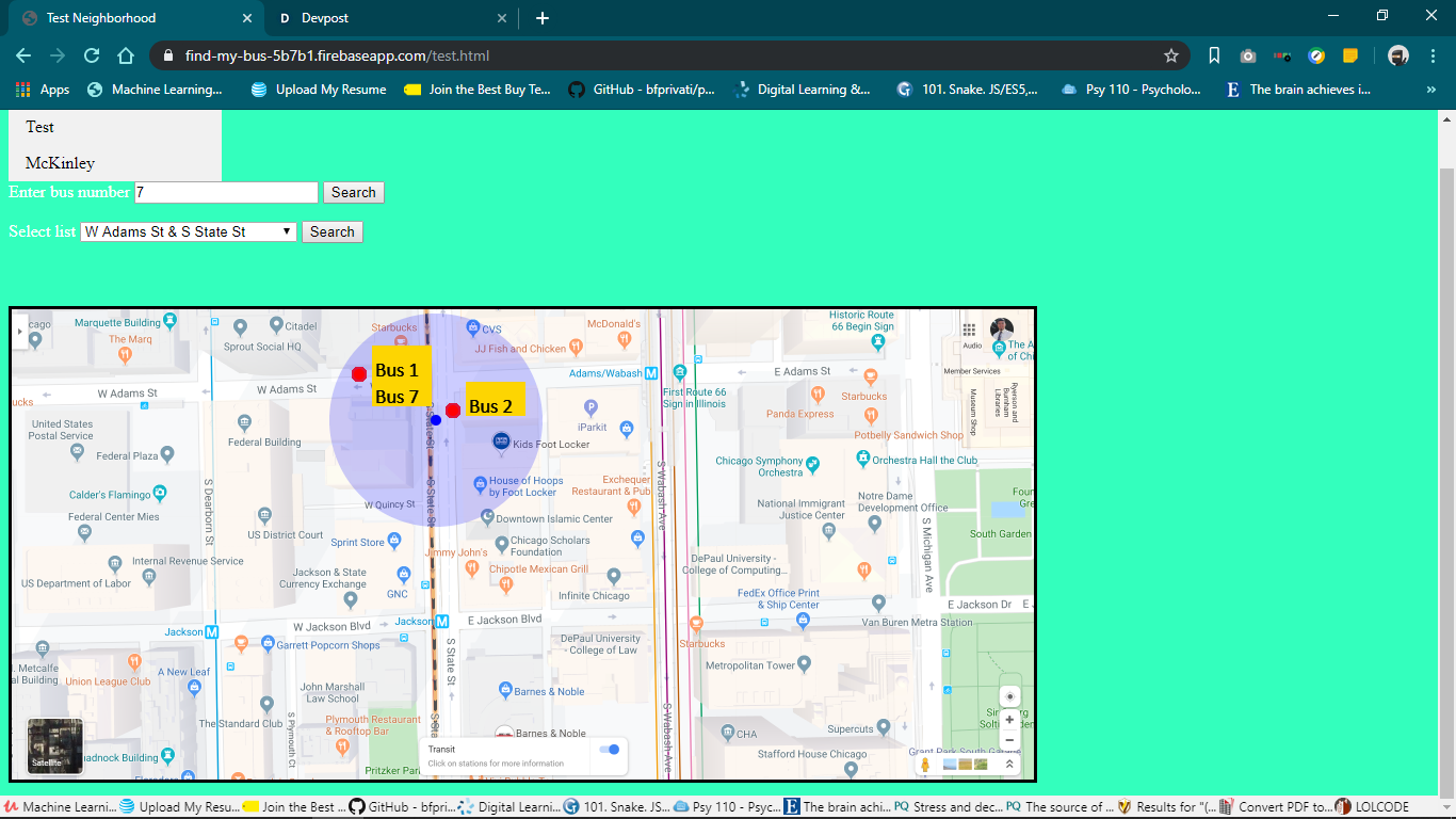
It allows users to be able to click on a map to see bus stops near where they clicked. They can input a bus number to see all the bus stops it travels too.
How we built it
We used google maps to take a screenshot of a neighborhood, and then used the cta bus tracker website to find the routes and stops of buses in that area. We then took that info and put it on our html page, and used to javascript to handle various different events that the user would cause.
Challenges we ran into
We had a bit of trouble coming up with an initial idea, but we took a stroll around the city looking for inspiration, and came across an idea (making an interactive map for bus stops). Because there were more than one person working on the same code, there were some discrepancies in we indexed certain objects in lists. One way we could solve this for next year, is having a set standard for working on code amongst ourselves.
Accomplishments that we're proud of
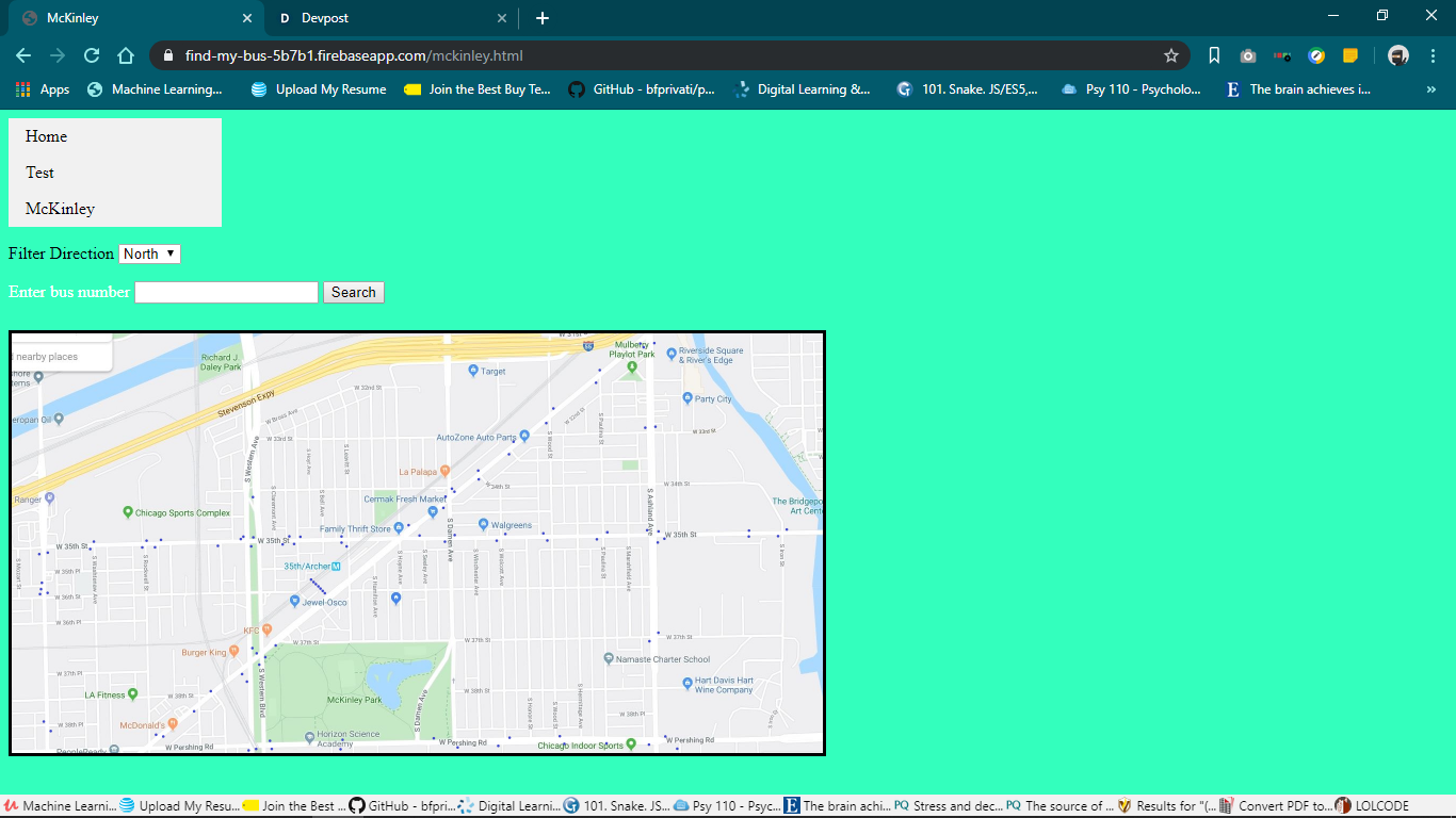
We successfully finished a map that displays all of the bus stops for McKinley. We can also search for all of the stops a certain bus goes too, and filter bus stops based on the direction their buses are going.
What we learned
We actually learned how to host a website using firebase through the help of the mentors. We also learned how to divide up work efficiently as a team.
What's next for Dude Where's My Bus Stop!?
We planned on being able to zoom in and zoom out of our map. We also of course, plan to add many more neighborhoods the user can choose from (seeing as how we are only limited to McKinley).

Log in or sign up for Devpost to join the conversation.