-
-
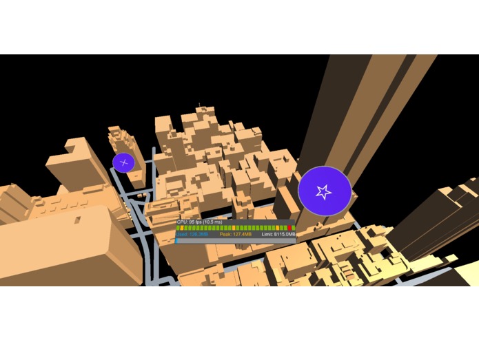
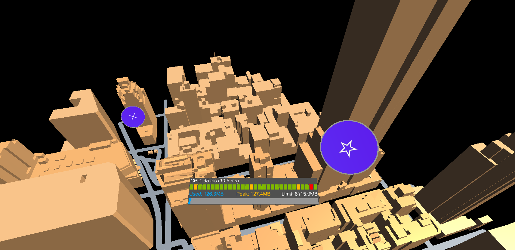
Blue buttons show points of interest around the city
-
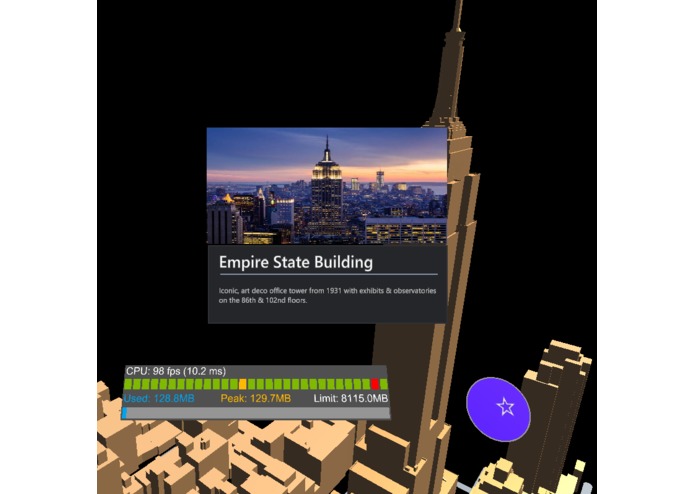
Clicking a location pops up important location information
-
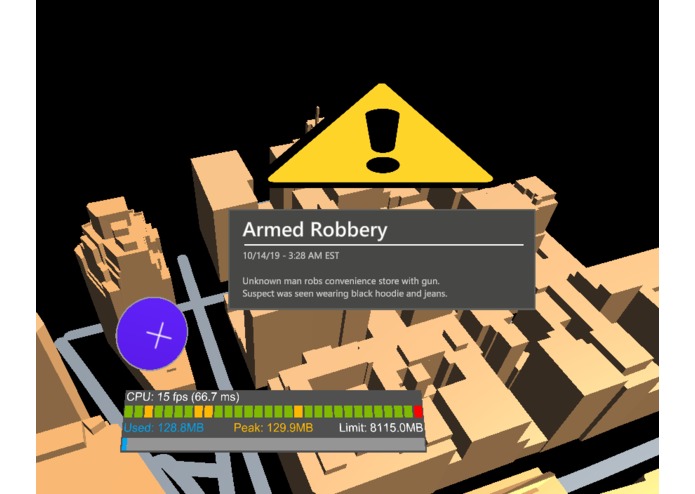
Clicking an event pops up important event information
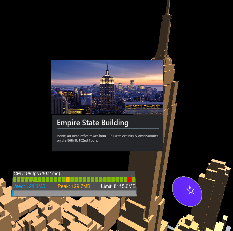
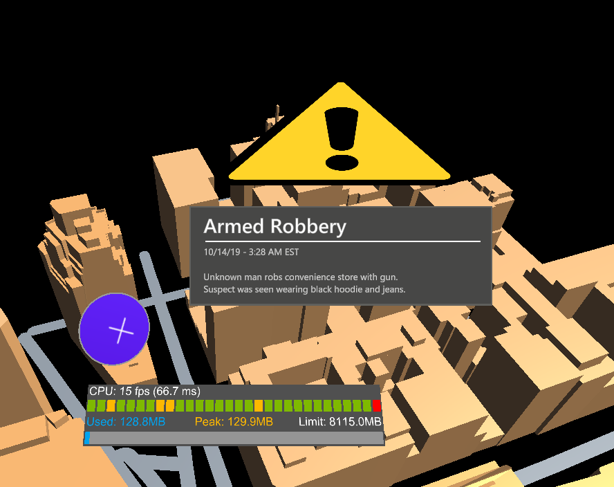
HoloMaps is an mixed reality map app for HoloLens designed for social good. Easily see important information about buildings, landmarks, and events in your immediate vicinity.
HoloMaps is useful for tourists who are exploring new environments, locals who want to discover new places to visit, and citizens who want real-time city safety updates.
It includes information about landmarks, buildings, and current events such as emergency and safety alerts. Simply click any blue button for a location or event, and see relevant information around you.
How we built it
HoloMaps was built using Unity, Microsoft Mixed Reality Toolkit, and C#. We used a 3D model of Manhattan, New York provided by Google Maps Unity SDK.
Challenges and Accomplishments
- Creating the app without any experience developing for augmented reality
- Collaborating across multiple devices to build models in Unity
- Learning how to use Unity's interface and writing Unity scripts
- Programming gestures to activate and deactivate the map
- Testing without a HoloLens device
What's next for HoloMaps
- Expanding beyond Manhattan to other major U.S. cities and eventually the world
- Including more important information such as natural disasters

Log in or sign up for Devpost to join the conversation.