-
-
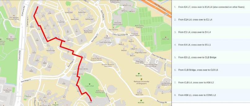
From EA to COM1


Inspiration
Some people love the rainy day aesthetic. So did we, until we found ourselves trying to rush to a lecture venue in the rain. Learning about the existence of various corridors and walkways between buildings got us curious - is it possible to walk from one end of NUS to another end without being exposed to the elements?
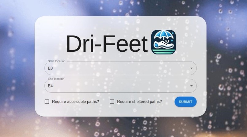
What it does
We provide a search interface that allows users to select their start and end points, as well as whether they require their routes to be wheelchair accessible/sheltered/both. Our server will try to find a path satisfying the user’s requirements - if such a path is found, it is rendered on a map, and step-by-step instructions are given on how to traverse this route e.g. which lifts, staircases to take.
How we built it
Using React, Flask and Mapbox GL JS. Google Maps was used as a collaborative tool.
Challenges we ran into
- Converting real world information like routes into data was a tedious process that required careful planning of the types of data we wanted to collect and a search on the ground to discover the routes for ourselves
- It was difficult to produce a nice looking path in certain edge cases and the output graphic needs to be refined to remove unusual artefacts
Accomplishments that we're proud of
- Rendering the route on an interactive map
- Finding and physically covering all routes listed in the map
- Helping a passer-by find their way around NUS by chance
What we learned
- How to scope a project into a functional but doable workload by choosing to show routes between buildings in faculties which layout we find confusing, instead of paths between individual classrooms in all of NUS (which is the next step for us!)
- How to embed and modify interactive maps
What's next for Dri-Feet
- Adding more faculties into the system
- More granular routes between individual rooms in each building, which can help students and visitors find places that they hardly visit

Log in or sign up for Devpost to join the conversation.