-
-

Logo
-
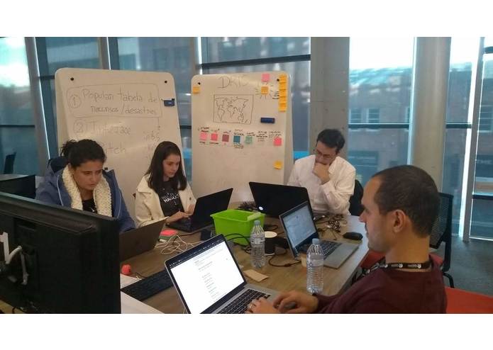
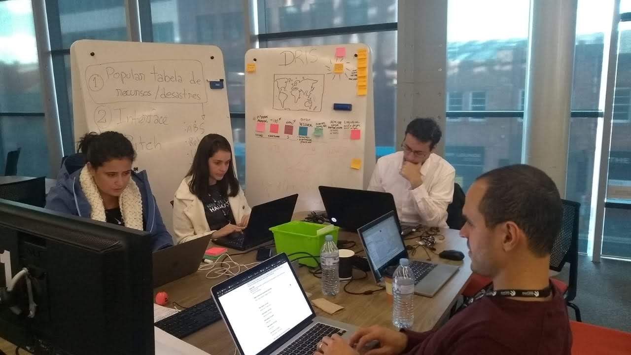
Team
Inspiration.
We present an online geo-referenced decision support system to help the incident controller plan and manage the resources needed for disaster recovery. The main value of this decision tool concerns the availability of precise updated information about any kind of resource demanded in a disaster handling situation, e. g. fireman workforce, ambulances, power transmission repair, water supplies, house repair, hygiene supplies, etc.. We expect to add agility and precision in the disaster recovery process by incorporating this tool to the incident controller routine.
What it does
When a new disaster is registered, the system provides an initial resource demand based on world past similar events (machine learning algorithm) and then the incident controller can update the disaster status at any time.
How we built it
We've prototyped it on R Studio with Shiny package and ggmap geocoding package to plot maps.
Challenges we ran into
Information availability, data integration.
Accomplishments that we're proud of
Team work
What we learned
Disaster recovery management.
What's next for DRIS - Diaster Resilience Intelligence Solution.
Implementation of the developed ideas.
Built With
- r
- rstudio


Log in or sign up for Devpost to join the conversation.