-
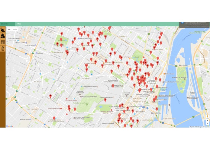
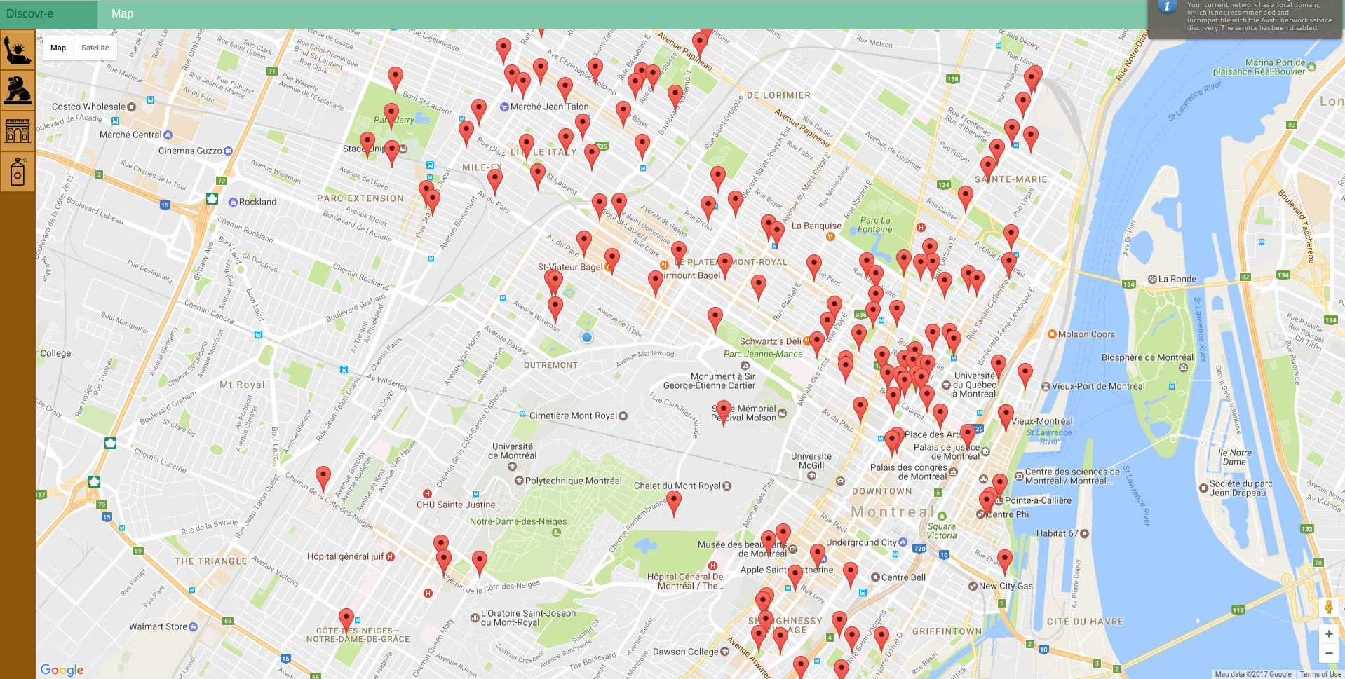
Screenshot
-
Inspiration
We decided to use several public data sources to display cultural and heritage sites overlooked in Montreal. The different public sources come from multiple level of government and from different offices within these governments.
What it does
The application will send you notifications when you walk around sites of interest that are overlooked by most people living in montreal : heritage buildings, public art, murals and the like. Or you can simply look over the map and see what's around you.
Challenges we ran into
Using non-standard data. Some of the data was already organized, either in a csv, json or xml format. However, a good deal of the interesting information is freely available directly on the sites of the government offices (Heritage Montreal, for instance). We tried a webscraper to pull the data and organize it ourselves. We are halfway there, but no time to finish in the time limit of 24h :-)
Accomplishments that we're proud of
We made google maps worked, bare-bone javascript, without using a framework
What we learned
How to use the google maps API
What's next for Discovr-E
Enable notifications. Add more data sources. Finish the webscraping work.


Log in or sign up for Devpost to join the conversation.