-
-
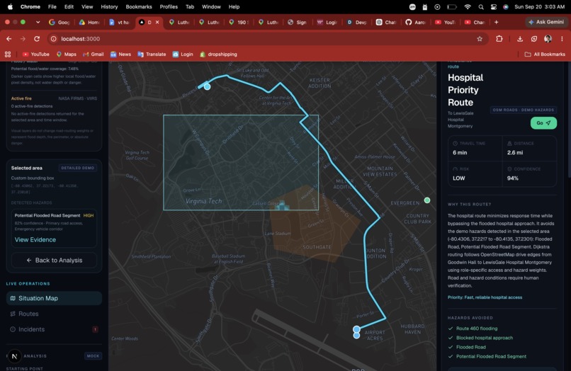
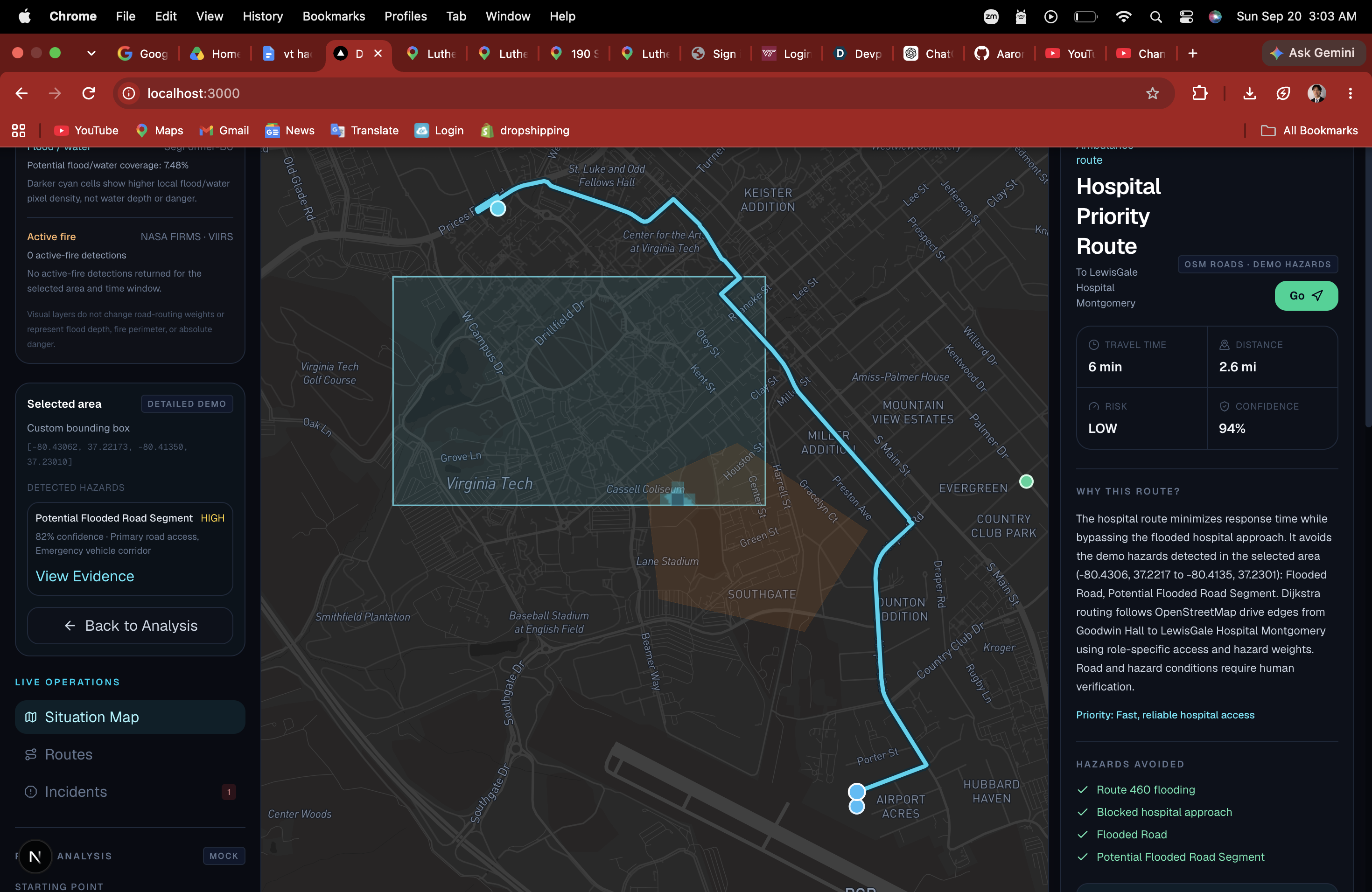
best route to take after analyzing disaster with functional features for users
-
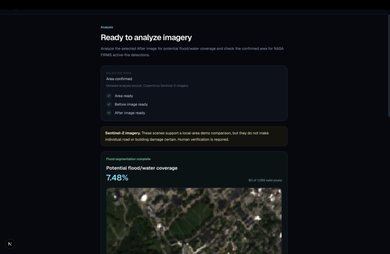
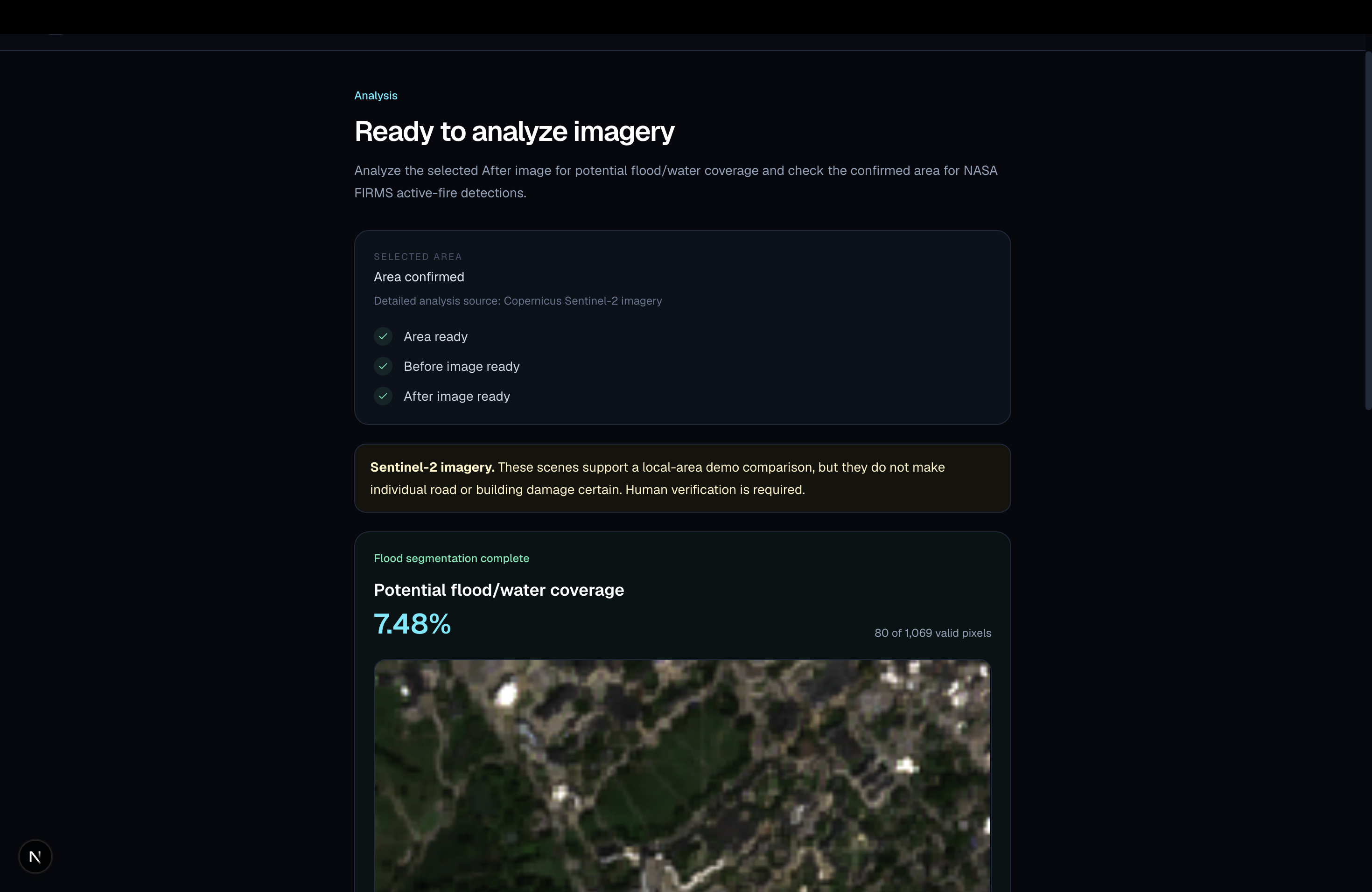
analyze flood feature
-
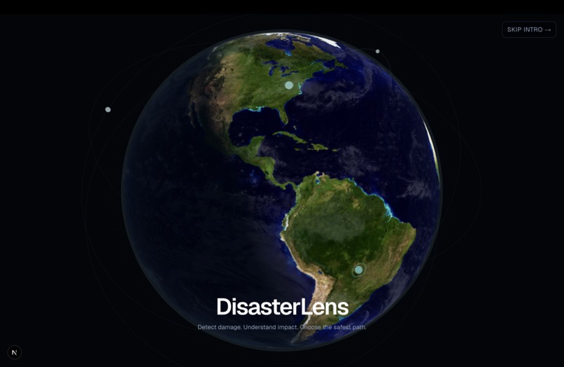
UI
Inspiration
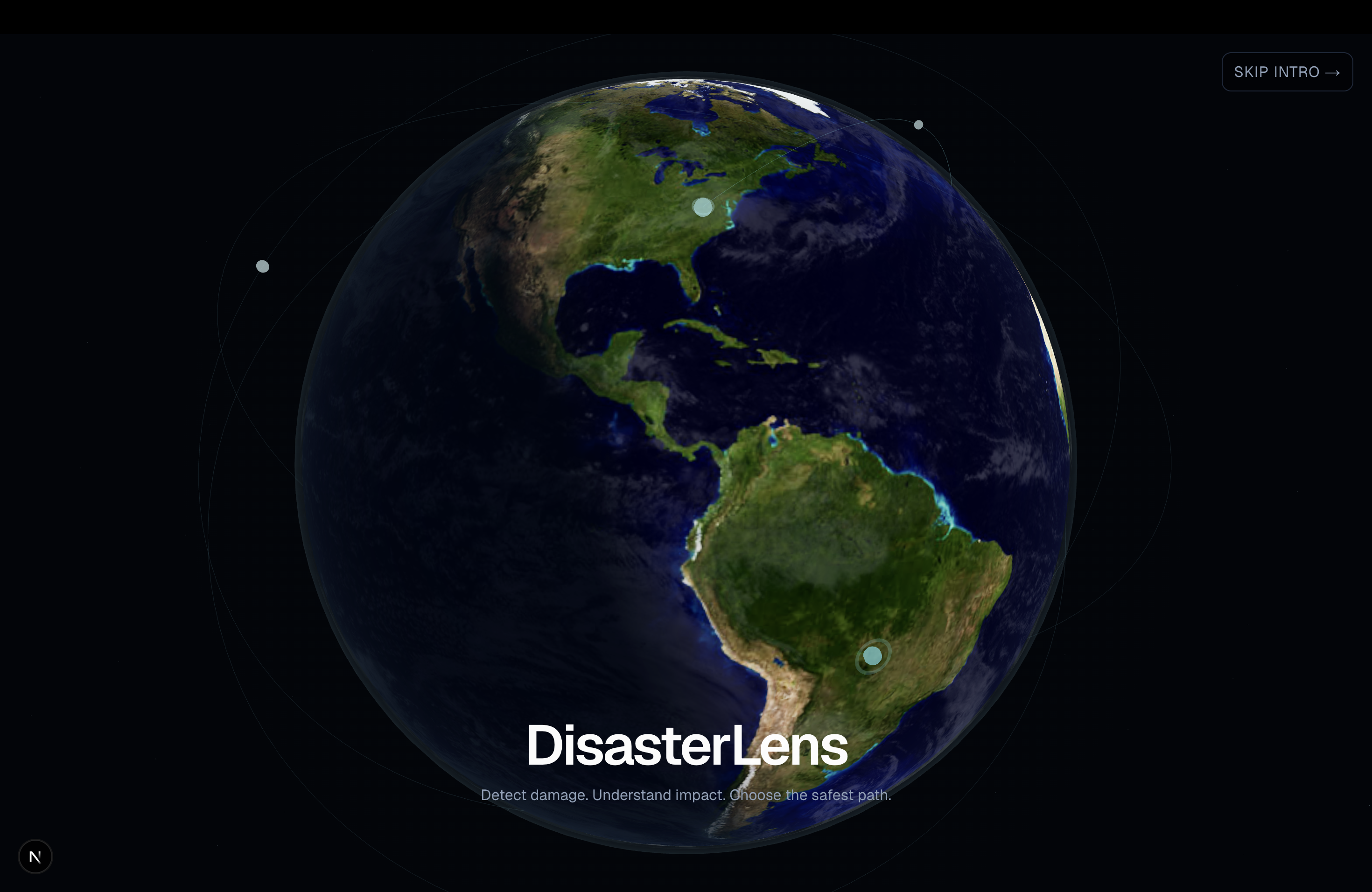
During a disaster, first responders rely on GPS to get where they need to go. But GPS might know where a road is without knowing that it was just flooded, damaged, or blocked by debris.
We built DisasterLens to help solve that problem. Our goal was to give first responders a better picture of what's actually happening around them so they can get to the scene safely and quickly
What it does
DisasterLens uses computer vision and satellite imagery to compare an area before, during, and after a disaster and identify possible hazards.
We take those hazards and bring them into a map where responders can see damaged areas and find safer routes around them.
Instead of just asking "What's the fastest route?", DisasterLens also asks "Is that route actually safe?"
How we built it
We combined satellite imagery, computer vision, live disaster data, Dijkstra's algorithm and mapping tools into one platform.
Our system analyzes changes in satellite images, identifies potential hazards, and uses that information to help with routing in real time. We then display everything in a simple interface so responders can quickly understand what's happening.
Challenges we ran into
One of our biggest challenges was going beyond simply detecting damage. We wanted the computer vision results to actually be useful.
That meant figuring out how to turn "there's damage here" into "this road may not be safe so here's another way to get there."
Accomplishments that we're proud of
Implementing the feature where we used Dijkstra's algorithm and planted nodes to help generate the safest and fastest route when dealing with disasters for first responders. What made us so proud was that we then implemented a feature where we could press go and goggle maps would generate the same route as the algorithm did for us.
What we learned
We learned a lot about working with computer vision, satellite imagery, APIs, and mapping data. More importantly we learned that detecting something with AI is only part of the problem. The real value comes from turning that information into something a person can actually use.
What's next for Disaster Lens
We want to bring in more real time satellite, heat map, weather, and emergency data and improve how DisasterLens handles different responders, since an ambulance, fire truck, and supply vehicle may each need a different route.
Our goal is simple: help first responders arrive safely and faster when every minute matters.

Log in or sign up for Devpost to join the conversation.