-
-
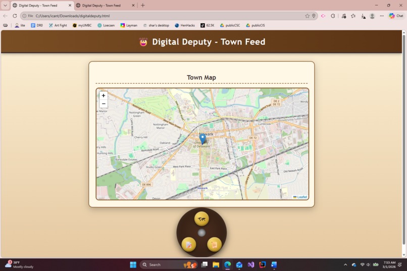
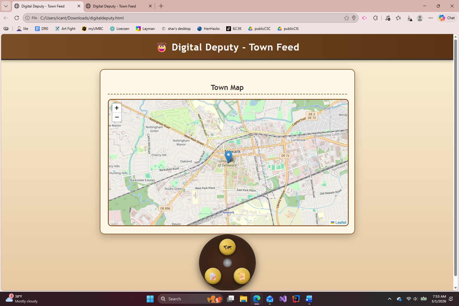
The website has user location
-
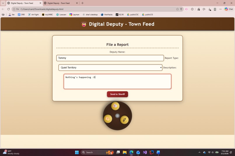
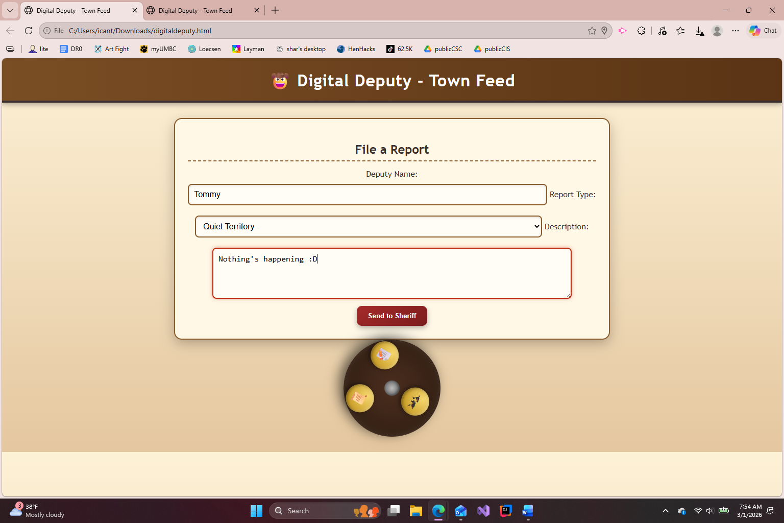
User can report crimes
-
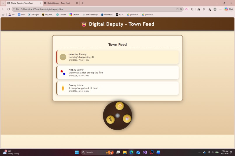
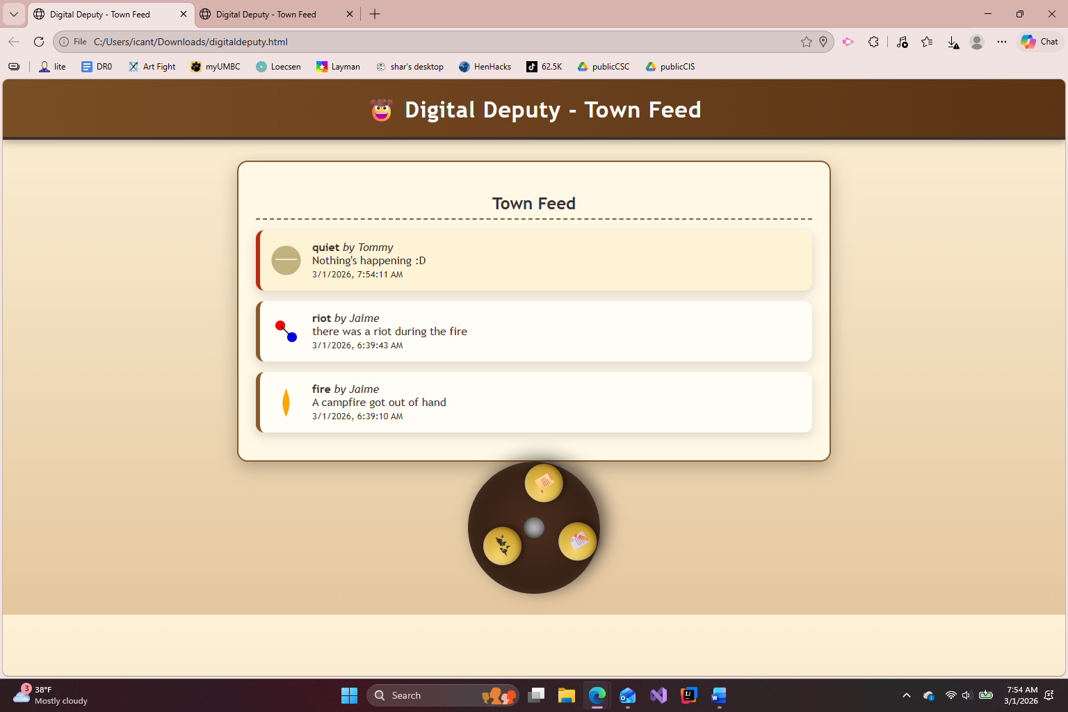
User can view crimes and info on feed
-
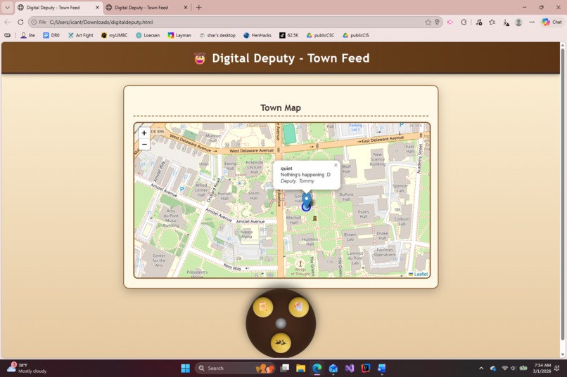
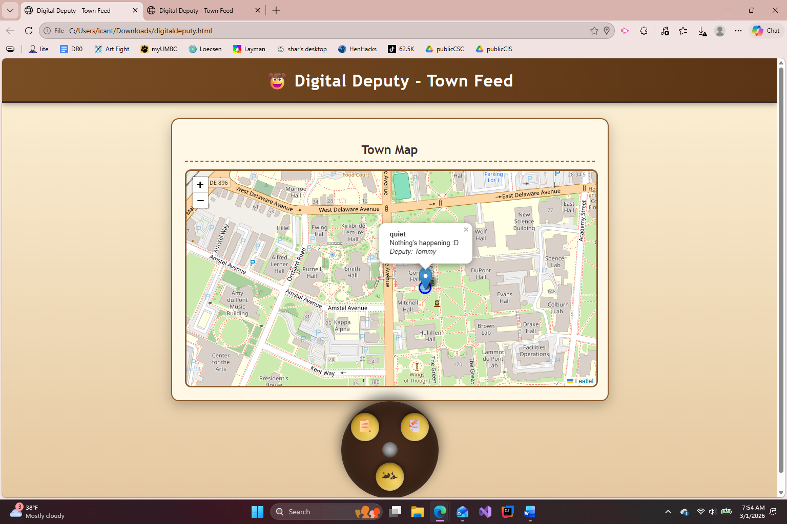
User can view crimes on map
Inspiration
We were inspired to tackle Delaware's biggest problems, specifically crime. We were surprised to learn about the lack of easy access to safety app and features for people due to them either costing money or being inaccurate. We then viewed the GPS ways system and how accurate that was. We knew that putting the two ideas together would result in an easily accessible personal safety resource.
What it does
Upon opening the app, it implements a starting point at the user's location. The user can either view other reports in the area or make one themselves. Upon notifying the sheriff, that crime is put on both the map and the live feed for other users to view.
How we built it
Digital Deputy is built primarily using HTML and JavaScript, as well as CSS. We utilized the Chrome browser's geolocation API to get the user's location to be used for real-time user positioning and local storage for data persistence, allowing reports to remain saved locally across sessions.
Challenges we ran into
As of right now, the user can only see report on one device as opposed to across different devices.
Accomplishments that we're proud of
We paid special attention to the location accuracy of our map. After borrowing Google Maps' API, we were still able to improve it by showing the exaction location of the crime, even when zoomed out, instead of just the user's general location.
What we learned
We learned the basics of website creation using HTML, as well as mapping basics, and to brainstorm ideas as a team.
What's next for Digital Deputy
The next thing for Digital Deputy in the implementation of live-feed synchronization and multi-server functioning. These will allow for users to see the same crimes from different devices.


Log in or sign up for Devpost to join the conversation.