


Inspiration
While walking in the city of Detroit there were 2 problems we came across on a constant basis: 1. Where are the best places to go, and 2. What are the safest routes to get there when walking. We wanted to provide the people of Detroit with a safe and reliable platform they can trust while at the same time the core function can be scalable and help people in other cities.
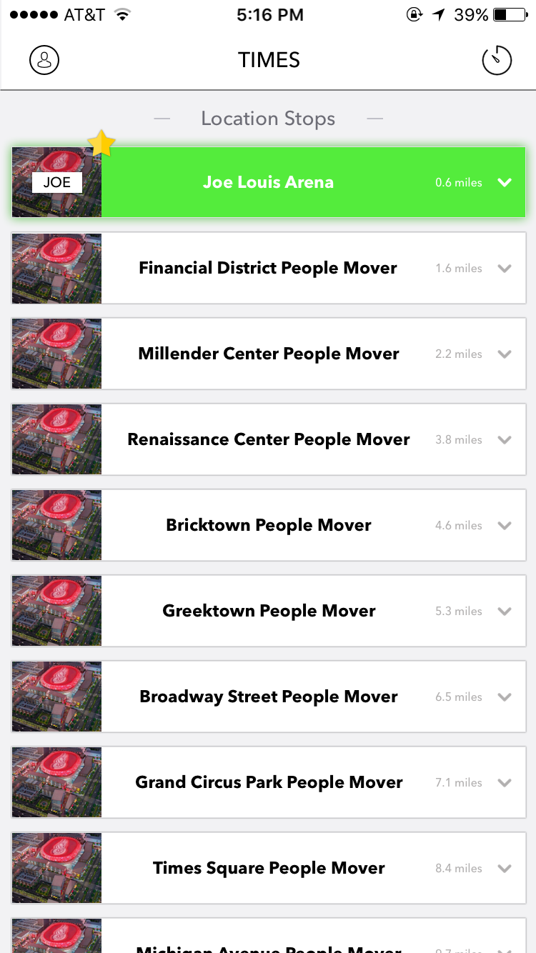
What it does
First and foremost, our focus is on safety! We help people find the fastest and safest directions to their intended locations. We do this with real time crime data we have accumulated on every street in the Detroit area. Then we show people the best spots to check out for whatever it may be that they desire, entertainment, landmarks and etc.
How I built it
We created our own REST API, while being connected to Yelp’s API and Data.Gov’s API for crime data for real time information. We have written the code fully in SWIFT and designed the UI/UX of the application all in house.
Challenges I ran into
Showing data in real time for the users on crime and directions.
Accomplishments that I'm proud of
We designed a fully functional application in 36 hours to have a great base function to build off!
What I learned
26% of Detroiters do not have access to a motor vehicle. People really have to resort on walking and alternate methods of transportation.
What's next for DETPM
Allowing users to send back crime and suspicious acts inside the application – this would be to warn others of activity going on in a certain area. Then we would try to show the most trending “Hot Spots” for people to go and enjoy a social outing. While trying to figure out how to retrieve real time bus routing and location of each and every bus – so people never miss when the bus comes they are fully informed in real time.


Log in or sign up for Devpost to join the conversation.