Inspiration
The devastation of the Aral Sea and its surrounding areas inspired this project. The increasing soil salinity levels have rendered vast regions unsuitable for agriculture and disrupted local ecosystems. We wanted to leverage cutting-edge technology to address these challenges.
What it does
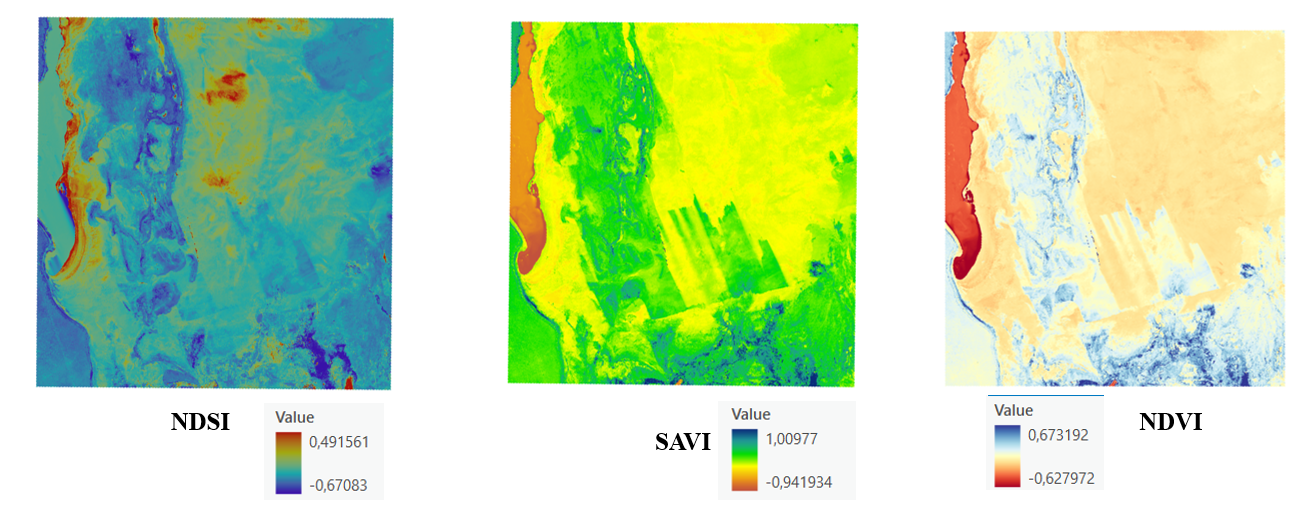
The project uses remote sensing to monitor and analyze salinity levels. By processing satellite imagery, it calculates indices like NDMI (Normalized Difference Moisture Index), NDVI (Normalized Difference Vegetation Index), and NDSI (Normalized Difference Salinity Index), providing insights into soil and water salinity.
How we built it
We used:
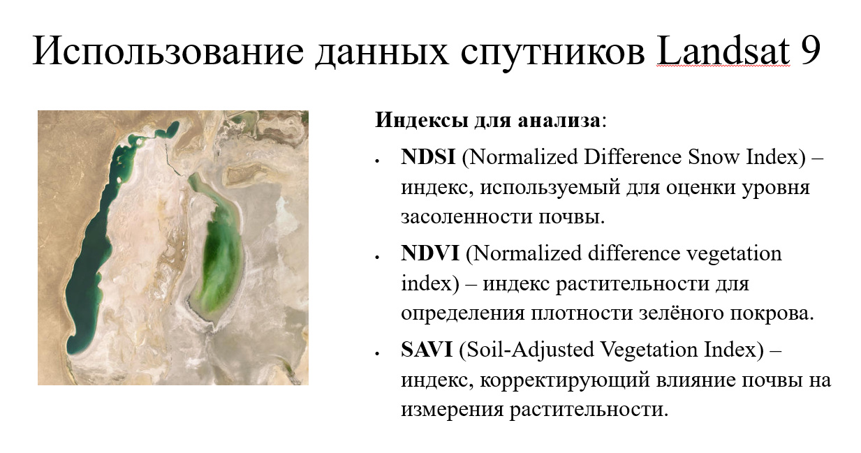
- Satellite Data: Landsat 8-9 images from EarthExplorer.
- Tools: ArcGIS Pro, Python, and advanced geospatial libraries.
- Process: Image preprocessing, index computation, and data visualization.
Challenges we ran into
- Calibrating satellite-derived indices to local conditions.
- Managing large datasets efficiently.
- Ensuring accurate results in areas with mixed vegetation and soil types.
Accomplishments that we're proud of
- Successfully creating a scalable workflow for salinity detection.
- Achieving validation with local field data.
- Demonstrating the potential for remote sensing in environmental restoration.
What we learned
- The intricacies of remote sensing and image analysis.
- The critical role of salinity mapping in sustainable development.
- How to integrate geospatial technologies with environmental science.
What's next for Determination of the Salinity Level in the Aral Sea Areas
- Integrating machine learning models for predictive analysis.
- Expanding the project to other regions with salinity challenges.
- Collaborating with local authorities to implement solutions.
Built With
- nocode

Log in or sign up for Devpost to join the conversation.