-
-
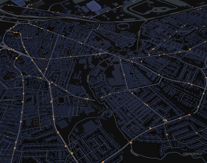
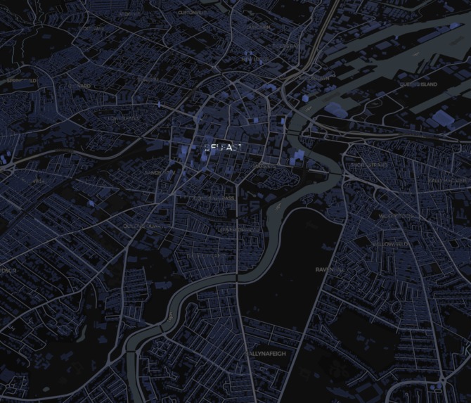
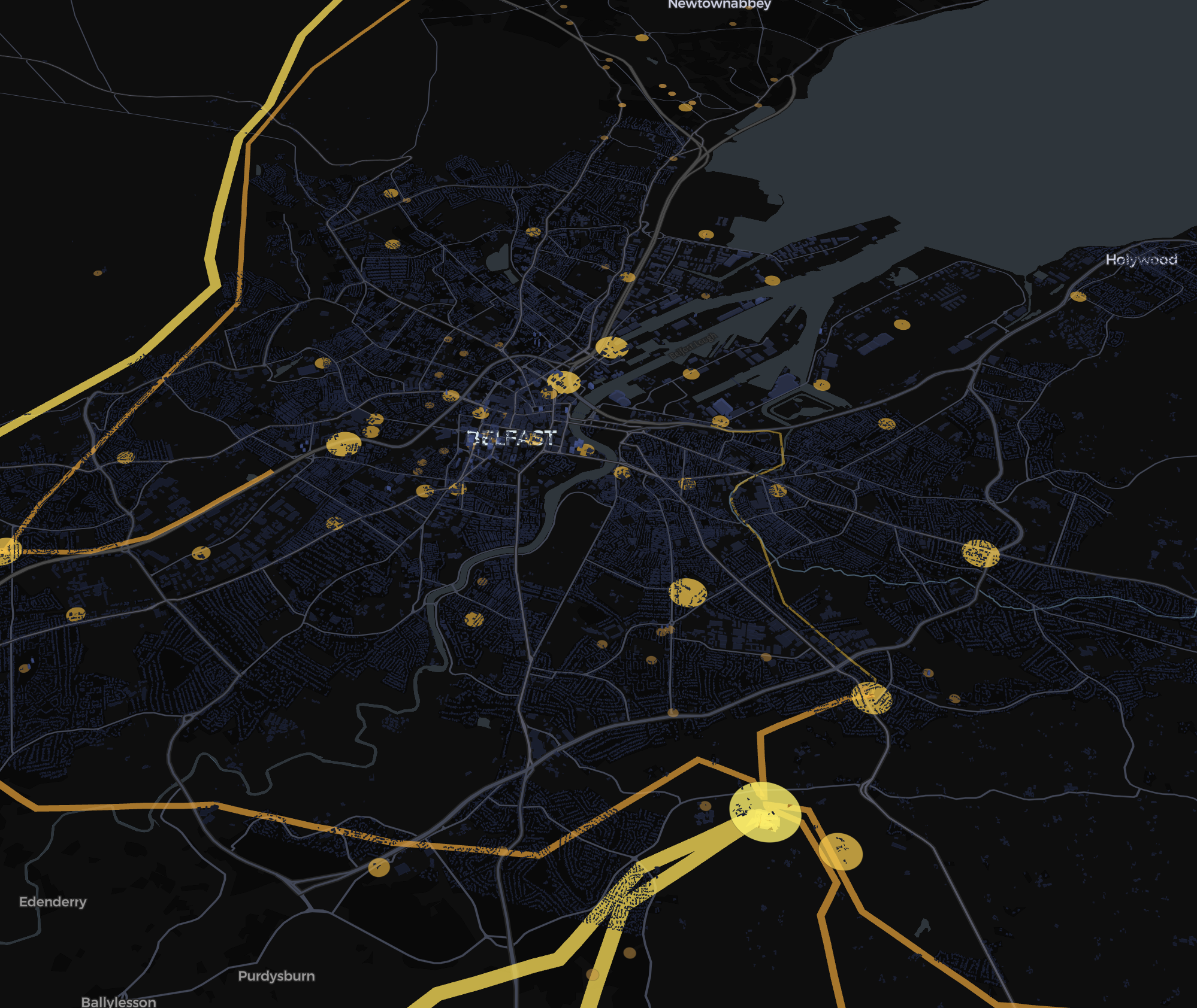
Total view in dark mode
-
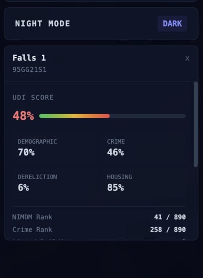
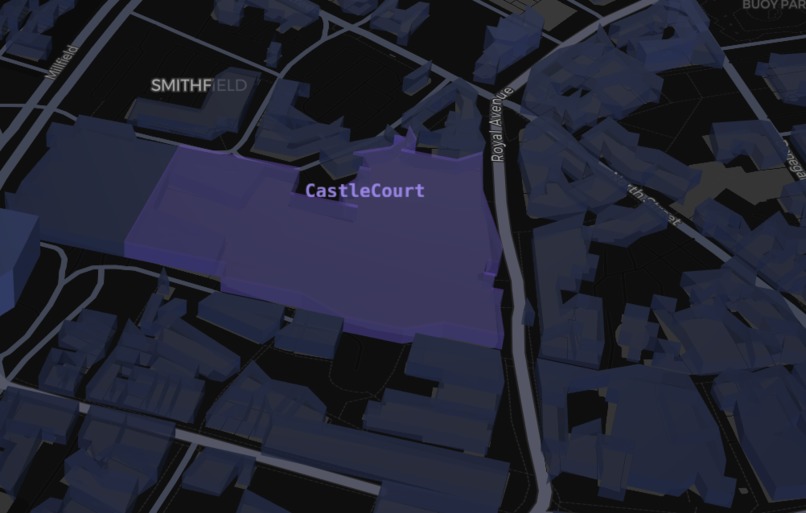
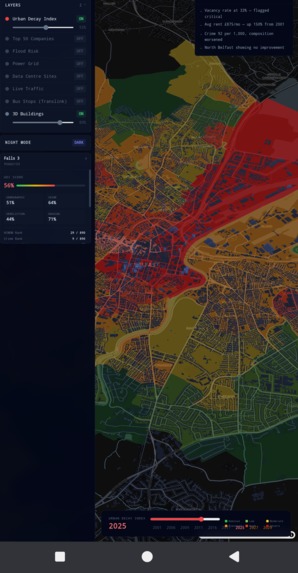
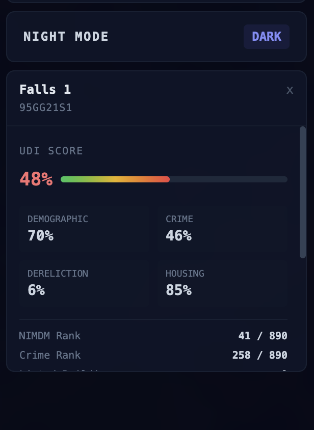
Breakdown of the selected SOA
-
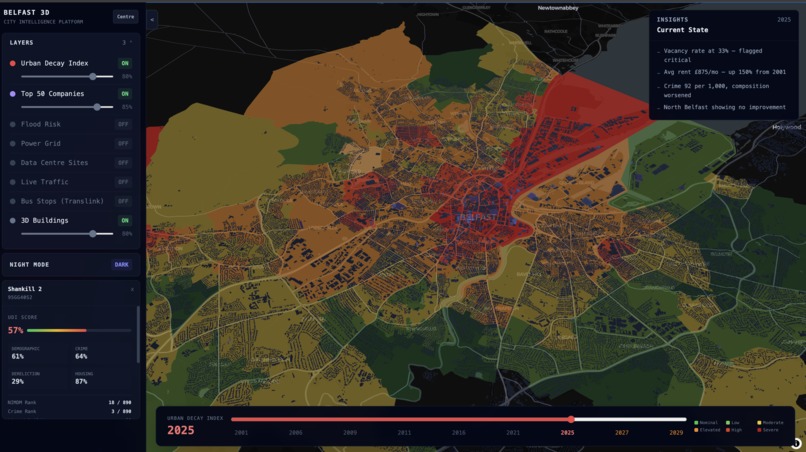
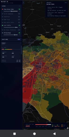
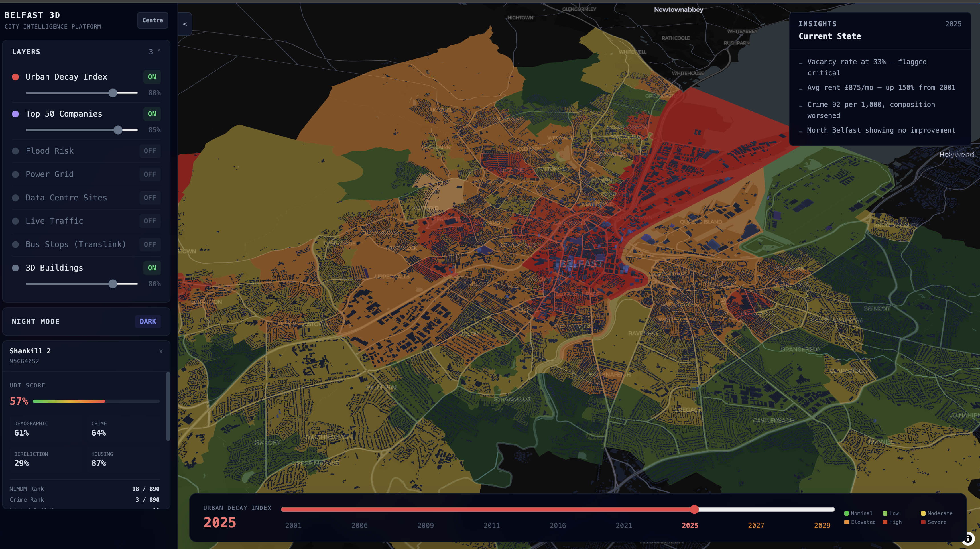
SOA analysis
-
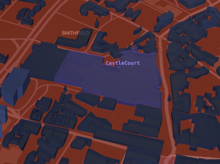
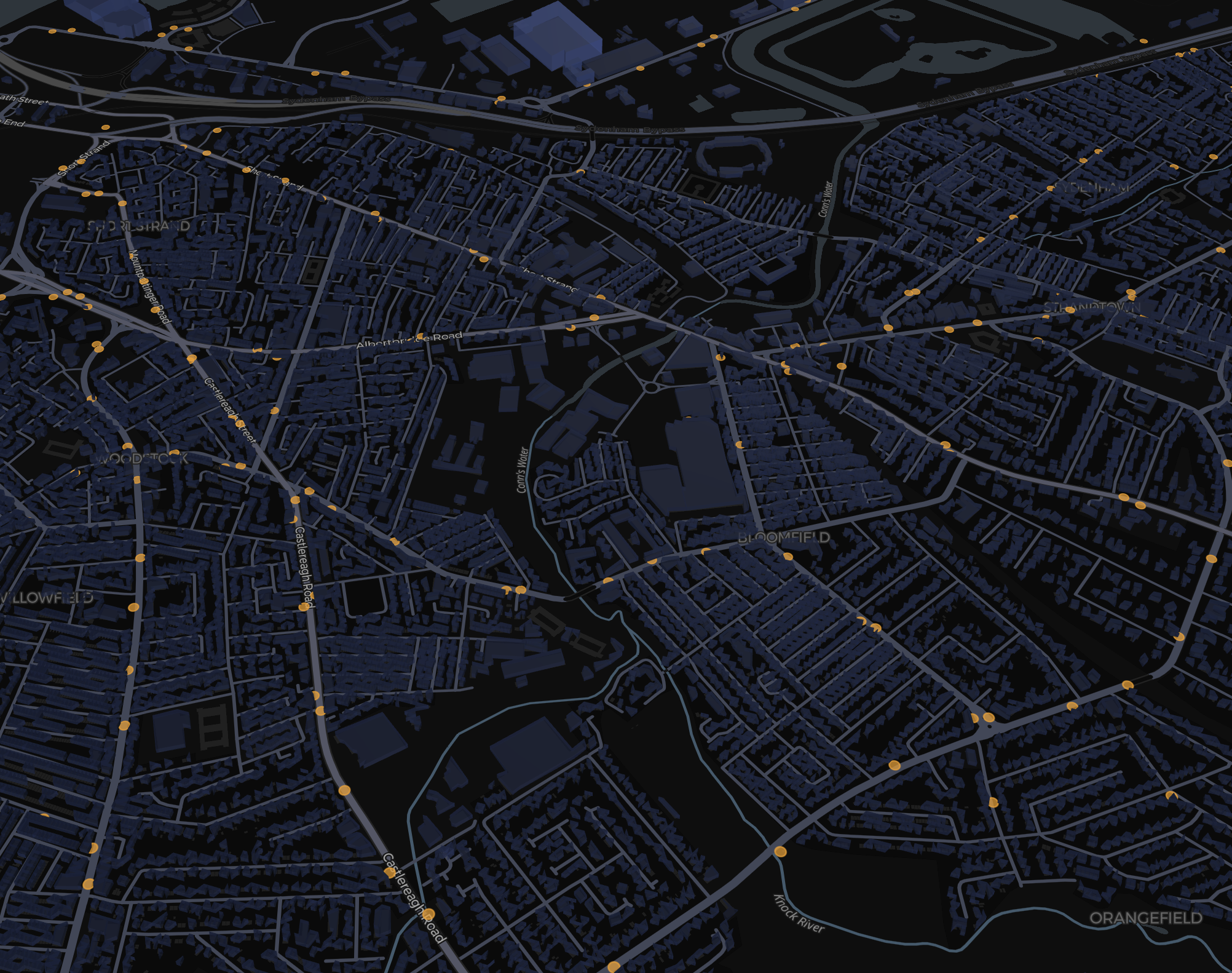
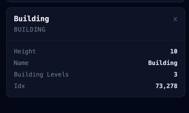
Building impacting local area displayed
-
Base building no impact
-
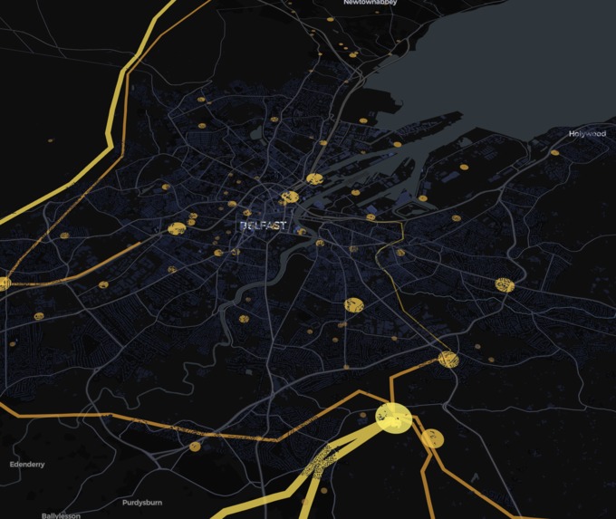
Exitsting infra power grids
-
Existing data centers in SOAs
-
Live traffic
-
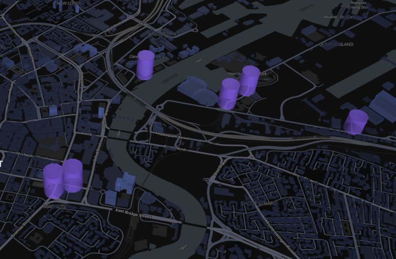
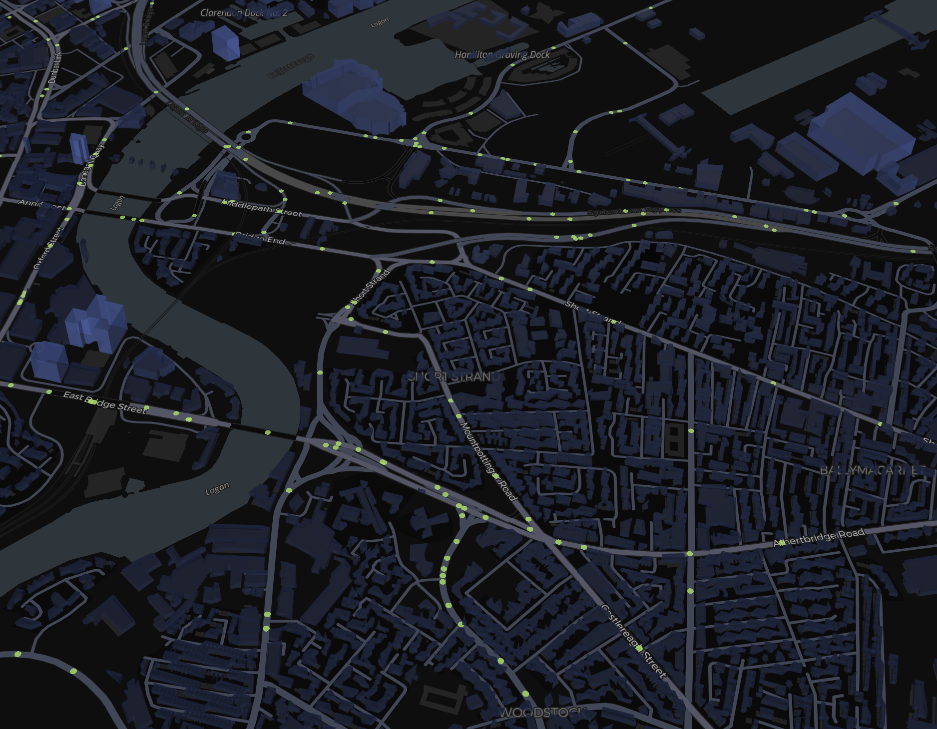
All existing translink stops
-
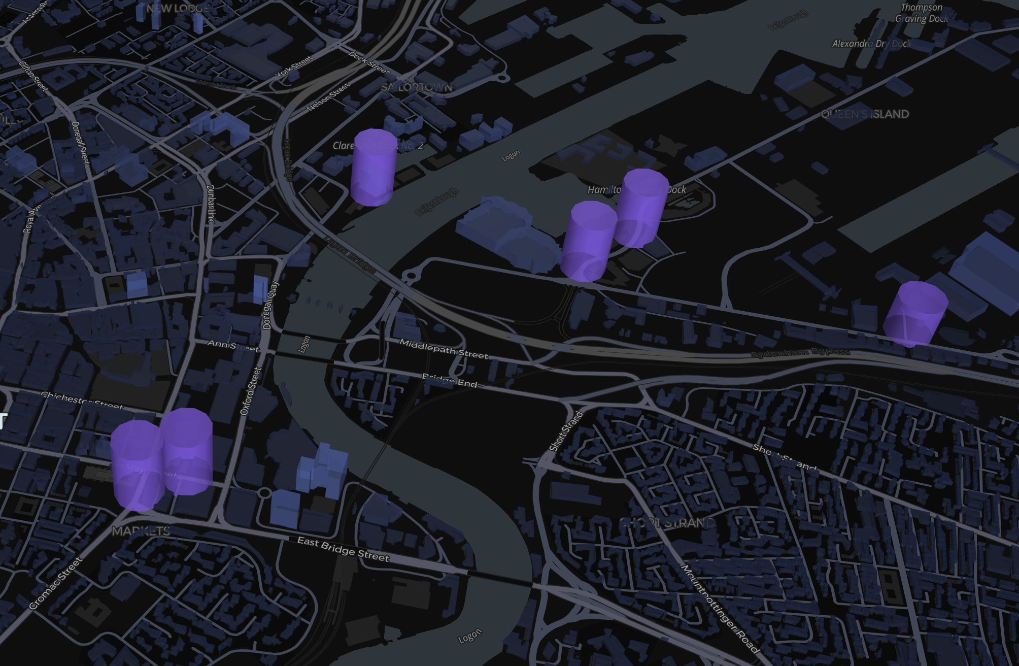
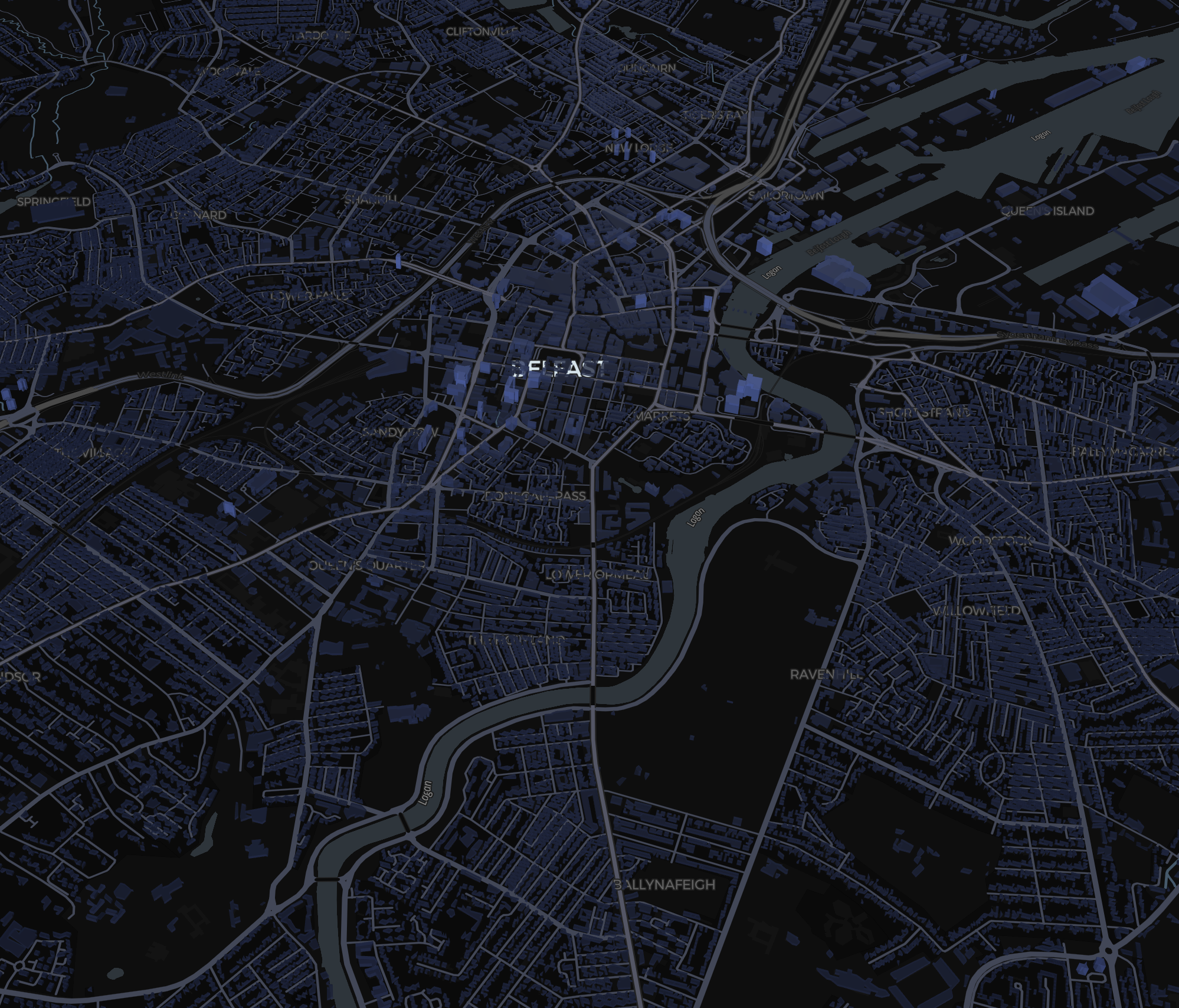
3D buildings overlayed on the map
-
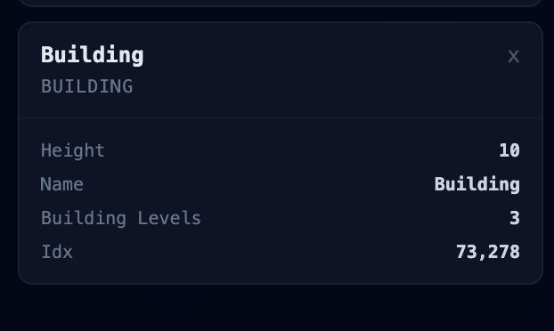
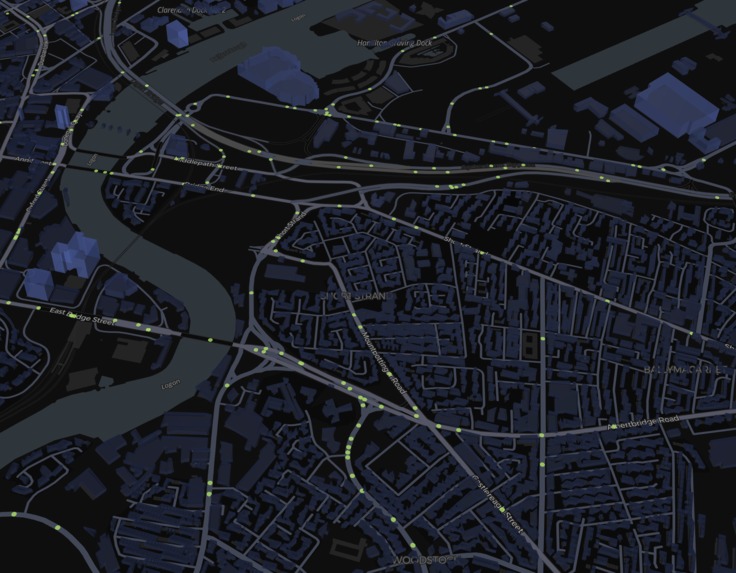
Granular analysis of each of the buildings in an SOA
-
Working on Ios/Andriod example 1
-
Working on IOS/Andriod example 1


Inspiration
We got the idea for this project as we were walking from the train station to Queens University and were shocked by the amount of derelict buildings.
We started researching it and found that the current method of allocating funds for areas suffering from urban decay is extremely broken. The City Council becomes aware of urban decay only as people report it manually. This is a reactive approach rather than a proactive one. They're essentially making million pound decisions based on vibes with no future projections.
To put it in perspective, the average vacancy rate in Belfast was 12.5% in 2011 and by 2025 it had jumped to 21.5%.
What it does
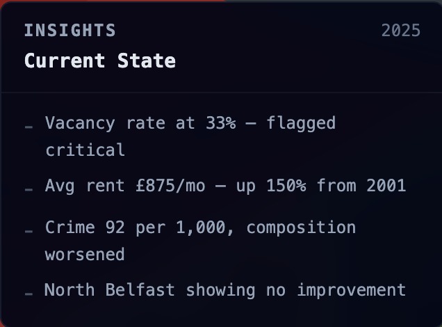
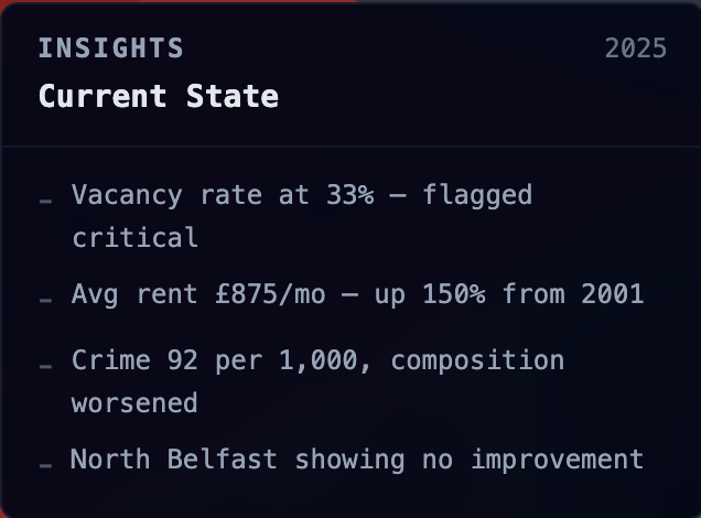
Decay Delay is an interactive map of Belfast that layers urban decay indicators like vacancy rates, crime density, employment levels, and road surface damage over time so you can actually see how areas are changing.
We built a custom machine learning model that projects where decay is heading in the future, not just where it's been. Each prediction comes with a breakdown of what's driving it and actionable recommendations for decision makers.
How we built it
We pulled data from censuses, crime reports, derelict building records, and employment stats. For road conditions we used satellite imagery to detect potholes.
All of this had to be cleaned, standardised, and merged before it was usable. Once we had a solid dataset we trained a machine learning model on the historical trends to forecast future decay and growth across different areas of the city.
Challenges we ran into
The biggest problem was sourcing and cleaning all the open source data. Different formats, different time periods, missing fields, inconsistent naming across datasets. Some of the data we needed didn't exist in a usable form so we had to manually verify and cross-reference between sources.
Accomplishments that we're proud of
We're proud of being able to build this in one day when the entire council and government couldn't. Beyond that, the fact that the model actually produces useful projections and not just noise felt like a genuine win given the state of the data we were working with.
What we learned
We learned just how fragmented public data actually is in Northern Ireland. The information is technically out there but nobody's joined it up. Once you do join it up the patterns are obvious. Decay doesn't happen randomly, it follows predictable trends that nobody is tracking.
What's next for DecayDelay
We want to test our model on other cities and see how scalable it is. We also want to try predicting further into the future and see how accurate the model holds up over longer time horizons.

Log in or sign up for Devpost to join the conversation.